The Southernmost Coast-To-Coast Interstate
Hurricane Katrina's storm surge knocked 64 spans of an Interstate highway into Lake Pontchartrain in August 2005. It was the second time in less than a year that a Gulf hurricane had put the same road in the water.
That road is Interstate 10, the southernmost of the three Interstates that cross the United States from the Pacific to the Atlantic, running about 2,460 miles from Santa Monica, California, to Jacksonville, Florida. Its southern line keeps it on the Gulf of Mexico for much of its eastern half, where long stretches run on bridges over swamp and open water. The western half has a hazard of its own, and it can shut more than 60 miles of I-10 at once. Even finishing the route took until 1990, and the last link had to go under a city park.
Only Three Interstates Run Ocean To Ocean

The Federal Highway Administration (FHWA) files three routes under the heading of east-west transcontinental Interstates. I-90 links Seattle and Boston, I-80 connects San Francisco with Teaneck, New Jersey, and I-10 takes the southern line. The order follows the numbering plan that state highway officials adopted with the Interstate shield on August 14, 1957. Even numbers run east and west, and in the FHWA's words, "the lowest numbered east-west routes are in the south." I-10 has the lowest number of the three.
The route spends about 880 miles in Texas, more than in any other state, which leaves El Paso closer to Los Angeles than to Orange, Texas, at the Louisiana line. The other seven states are California, Arizona, and New Mexico to the west and Louisiana, Mississippi, Alabama, and Florida to the east. Neither end of the route touches the shore. On the Pacific side, I-10 ends at State Route 1 in Santa Monica, where the short McClure Tunnel carries traffic down to Pacific Coast Highway by the beach. On the Atlantic side, it ends at a junction with I-95 in Jacksonville.
The Final Mile Opened Beneath A Phoenix Park

Phoenix voters rejected an elevated freeway through downtown in 1973, so the last piece of I-10 went below grade. The Deck Park Tunnel opened on August 10, 1990, 33 years after the Interstate shield was adopted, and the FHWA says the event "marked the completion of I-10 coast-to-coast." I-90, the northern route, was not complete until 1993. The agency puts the federal and state cost of building the whole route at about $5 billion. Technically, the tunnel is 19 bridges set side by side, with Margaret T. Hance Park on top, so the lawns and paths downtown form a roof over Interstate traffic.
Dust Can Shut The Desert Stretch

In May 2016, blowing dust closed 62 miles of I-10 between San Simon, Arizona, and Lordsburg, New Mexico, and the detour added nearly 100 miles to the trip. Local reporting traced part of the problem to about 160 acres south of San Simon that had been cleared for a pecan grove. With the ground bare, gusts of about 20 mph were enough to lift dust across the Interstate.
Eighteen Miles Over The Atchafalaya Basin

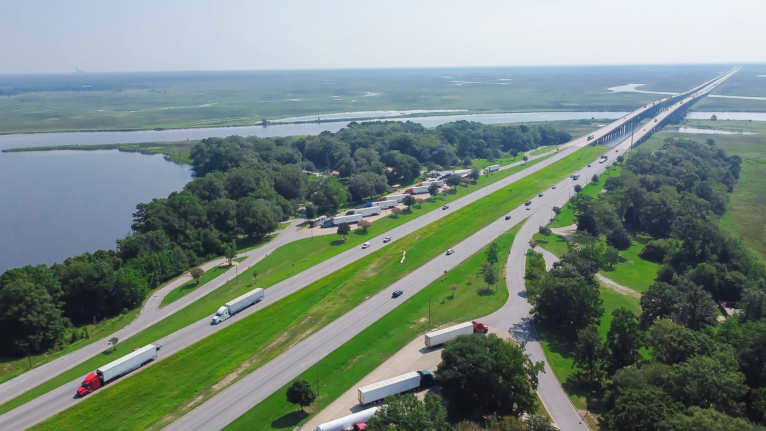
In Louisiana, between Lafayette and Baton Rouge, I-10 spends 18 miles on the Atchafalaya Basin Bridge over the Atchafalaya Basin. About 60,000 vehicles a day crossed its parallel spans in 2023, the bridge's 50th year, and the only ways off along the way are two exits, at Whiskey Bay and Butte La Rose. Everywhere else on the bridge, the view on both sides is swamp and open water.
Katrina Took Out The Lake Pontchartrain Crossing

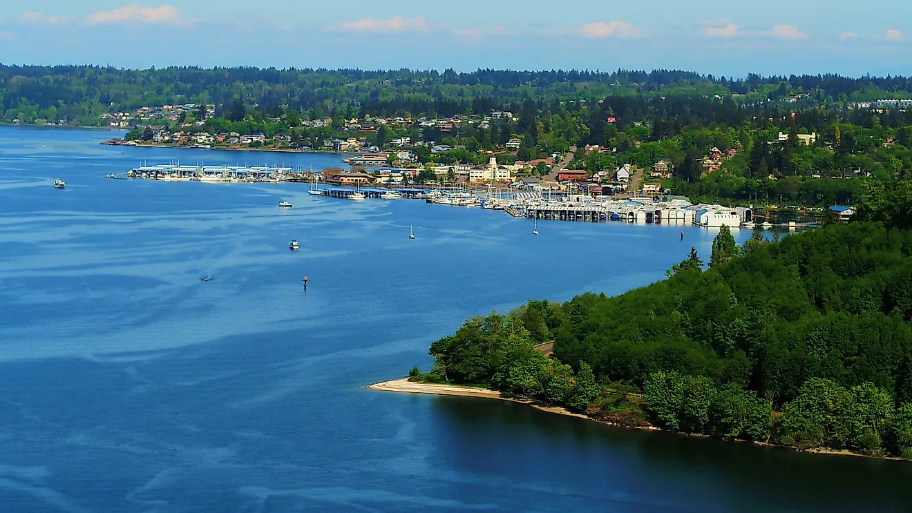
East of New Orleans, I-10 crosses Lake Pontchartrain to Slidell on bridges that sit much higher than they used to. The original 1965 spans ran about 8.5 feet above the lake for most of their length, and Hurricane Katrina's surge on August 29, 2005, pushed sections of them off their supports. A patched eastbound bridge carried two-way traffic within 47 days, and the westbound bridge reopened in January 2006.
The replacement Twin Span went up in stages and carried all six lanes by September 2011, at a cost of $733 million. Its 5.5-mile deck sits about 30 feet above the water, more than three times the old clearance, and rises to 80 feet near Slidell over the navigation channel.
A Tunnel In Mobile And A Rebuilt Bay Bridge

Trucks carrying hazardous materials have to leave I-10 in Mobile, Alabama, and cross the Mobile River on the Cochrane-Africatown Bridge. The Interstate itself goes under the river through the George Wallace Tunnel, about 3,000 feet long with 16 feet of vertical clearance.
About 55 miles east, near Pensacola, the Escambia Bay crossing was the first of the two Gulf bridges to go into the water. Hurricane Ivan's surge in September 2004 pushed 58 spans of the I-10 bridges into the bay. Florida had a new span carrying traffic in both directions by December 2006, and a second span followed in December 2007.
Why I-8, I-40, And I-95 Fall Short

I-40 runs nearly 100 miles farther than I-10, from Barstow, California, to Wilmington, North Carolina, yet it never reaches the Pacific. Barstow is a junction town in the Mojave Desert, and I-40 stays well north of I-10 for its whole length. Interstate 8 has the opposite gap. It starts near the Pacific in San Diego and runs east for more than 350 miles, then ends at I-10 in Casa Grande, Arizona, far short of the Atlantic.
Routes that reach farther south than I-10 run the other way. I-95 and I-75 both follow the Florida peninsula down to the Miami area, and the FHWA files them as north-south transcontinental routes.
I-10's newest major bridges sit on the Gulf. The Escambia Bay spans date to 2006 and 2007, and the Lake Pontchartrain bridges carried all six lanes in 2011, 21 years after the Phoenix deck closed the last gap in the route. Both replaced crossings that storm surge had put in the water, while the Atchafalaya spans farther west, built in 1973, are still the originals. Louisiana raised its new lake crossing to about 30 feet, more than three times the old height, after a storm that wrecked far more of the old bridges than the spans that fell. Besides the spans that ended up in Lake Pontchartrain after Katrina, the FHWA counted 473 more that the surge had shoved out of alignment.