9 Most Scenic Drives in the United States
Colorado's Million Dollar Highway drops away from the shoulder of Red Mountain Pass with no guardrail between your tires and a very long fall. It is a public road. People drive it in minivans. The nine routes below include that kind of white-knuckle mountain work, and also fifty miles of glacier-carved valley you can take at twenty-five with the windows down. Several carry catches worth knowing before you turn the key, and those are flagged where they apply. Check conditions the morning you leave, because nearly every road on this list closes, slides, burns, or ices over at some point in a given year. These are the nine most scenic drives in the United States.
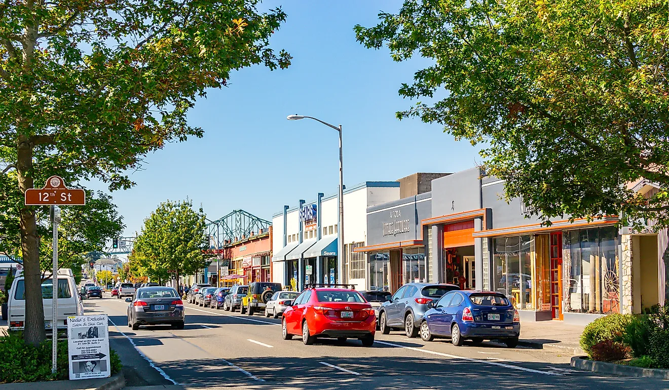
US Highway 101 between Arcata, CA and Bandon, OR

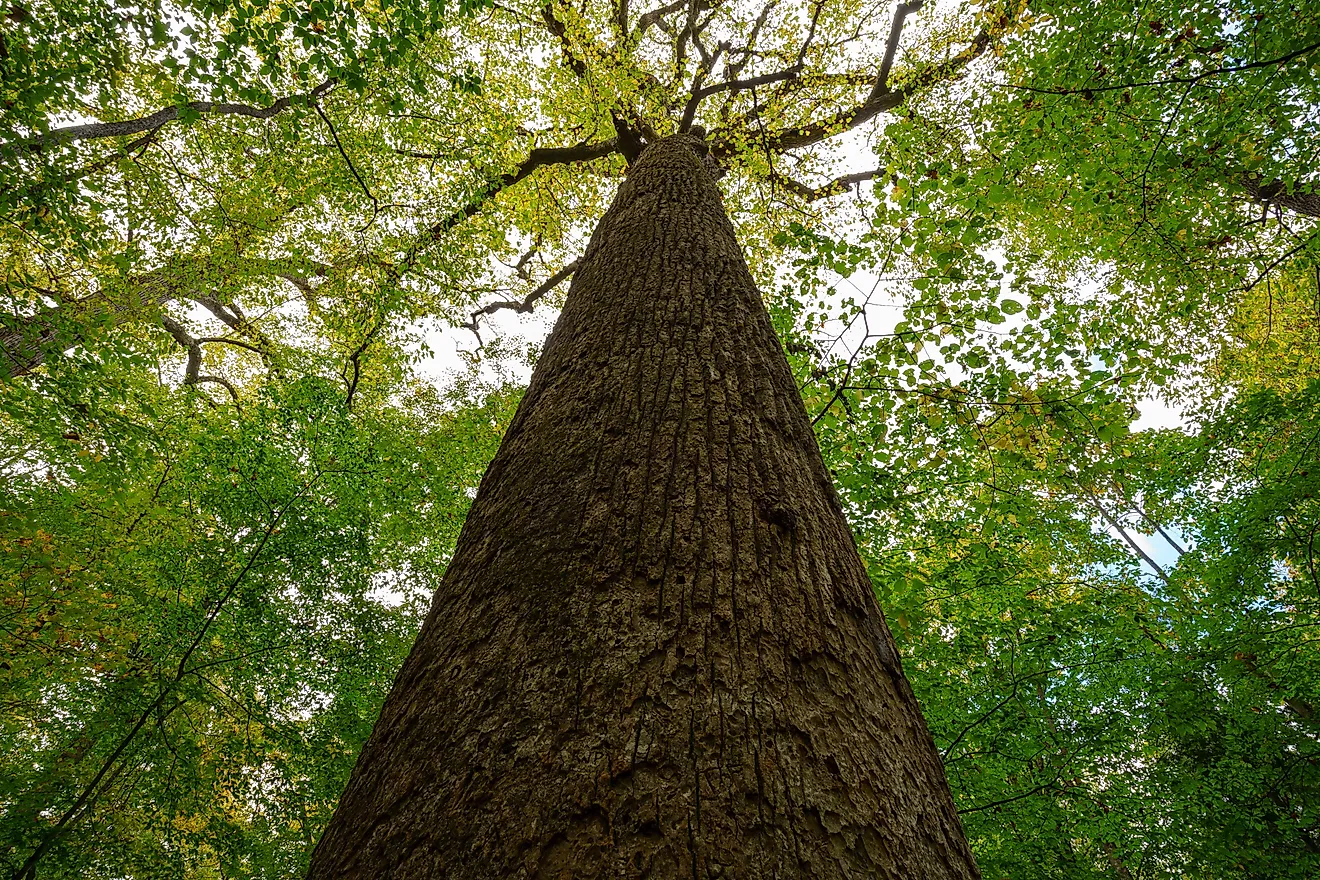
The tallest trees on earth grow beside this road. Coast redwoods in Redwood National and State Parks push past 350 feet, and US-101 threads straight through them before the canopy breaks open onto sea stacks and cliff edge. They are the tallest, not the biggest: the largest trees by sheer volume are giant sequoias, and those grow hundreds of miles inland.
Arcata to Bandon runs just under 200 miles. Budget four hours minimum, and understand that you will not do it in four hours. Arcata holds fewer than 20,000 residents. Bandon calls itself the cranberry capital of Oregon and backs it up with a festival every fall. In between, Trees of Mystery in Klamath, California keeps a Paul Bunyan and a Babe the Blue Ox big enough to see from the highway, and Harris Beach State Park north of Brookings looks out on Bird Island, the largest island off the Oregon coast and a protected seabird rookery.
Road to Hana on Maui, Hawaii

Six hundred and twenty curves. Fifty-nine bridges, most of them one lane wide. That is the Road to Hana, and the arithmetic explains why 64 miles takes most of a day. The route leaves Kahului as Hawaii Route 36 and becomes Route 360, the Hāna Highway proper, past Paia, crossing the windward flank of Maui Island to reach the eastern shore.
Kahului is the island's largest town and the site of its main airport, and it is the home of Tasaka Guri Guri, a sherbet counter that has been in the same family since 1887. Eat first. Past Paia the stops come quickly: Twin Falls is the first waterfall on the route, the Garden of Eden Arboretum keeps a mango tree well past its hundredth year, and Kahanu Garden holds the only public view of Piʻilanihale Heiau, the largest heiau in Hawaii.
One planning note that catches people out. Waiʻanapanapa State Park, the black sand beach everyone photographs, now requires an advance timed reservation for out-of-state visitors. Book it before you drive, not when you arrive.
The Blue Ridge Parkway between Asheville and Blowing Rock, North Carolina

They call it America's Favorite Drive, and 469 miles of it run without a single traffic light. The 90-mile northern stretch between Asheville and Blowing Rock is the segment regulars argue for, and at a 45 mph limit it eats three hours easily. Craggy Gardens near milepost 364 delivers the payoff, a rhododendron bald that turns purple in June and hands you a hundred miles of the Blue Ridge Mountains on a clear day.
Read this part before you plan. Hurricane Helene tore up nearly 200 miles of the Parkway in September 2024, and the worst of it landed on this exact stretch. The section between Linville Falls and Mount Mitchell State Park is still closed for landslide repair, with the National Park Service targeting late 2026 for full reopening, and construction traffic and reduced speed limits apply on the open miles south of Mount Mitchell. That closure takes the Museum of North Carolina Minerals at Spruce Pine off the table for now; when it reopens, it displays roughly 300 minerals and gems found in North Carolina, not nationwide.
Linville Gorge is worth the wait. It is among the deepest and most rugged gorges in the eastern United States, with walls dropping close to 2,000 feet, though the "deepest" title gets contested by a few other eastern canyons depending on how you measure.
Interstate 64 through West Virginia

An interstate on a scenic drives list sounds like a mistake until you drive this one. I-64 climbs the Allegheny Plateau on its way across West Virginia, running an east-west line that starts outside St. Louis, Missouri and ends at Chesapeake, Virginia, and the West Virginia miles cut through folded Appalachian ridges the whole way.
Start at Huntington, in Cabell County, where the Huntington Museum of Art holds the largest art collection in the state. Milton comes next, and Blenko Glass has been blowing glass there since 1921; the visitor center lets you watch gaffers work molten glass on the floor below. In Charleston, the gold dome on the state capitol sits right on the bank of the Kanawha River and photographs well from across the water.
The real prize is Grandview, roughly fifteen minutes off the interstate east of Beckley. It is part of New River Gorge National Park and Preserve, West Virginia's only national park, designated in 2020, and the overlook stares straight down at a horseshoe bend in the New River with ridgelines stacked behind it.
San Simeon north to the 17-Mile Drive near Carmel-by-the-Sea

Ninety miles of Highway 1 separate Hearst Castle from Carmel, and there is no inland shortcut. The road is pinned between the Santa Lucia Range and the Pacific the entire way, which is what makes it extraordinary and also what makes it fragile. Ragged Point opens the run as the self-styled gateway to Big Sur. Point Sur Lighthouse has been working its headland since 1889.
Check the road before you commit. This stretch reopened in January 2026 after a closure that ran roughly three years, and a 40-mile section was shut again in late August 2026 for wildfire response along the coast. Caltrans posts current conditions, and a Big Sur itinerary built on assumption instead of a status check can strand you 90 miles from a detour.
At the north end, 17-Mile Drive runs its private toll road through Pebble Beach with gates at Pacific Grove and Carmel. The Lone Cypress has clung to its rock for something like 250 years and is now fenced to protect the roots, so you photograph it from the pullout rather than walking up to it.
Going-to-the-Sun Road, Montana

Fifty miles, one mountain range, and a road that had no business getting built in 1932. Going-to-the-Sun crosses Glacier National Park between the West Entrance and St. Mary, topping out at Logan Pass at 6,646 feet, and it does the whole job on a two-lane shelf blasted into cliff faces. Saint Mary Lake and the Big Bend pullout are the stops people remember; the Weeping Wall soaks your car if the window is down.
Good news for 2026: Glacier dropped its vehicle reservation requirement park-wide this season, so you can drive the road without booking a timed entry slot. You still need a park pass. Parking at Logan Pass is capped at three hours from July 1, and the shuttle to the pass now runs on reservations. The road opens in full sometime between mid-June and early July depending on how the plows do against the snowpack, and it closes again in autumn. West Glacier sits at the west entrance, Whitefish is a short drive out, and St. Mary anchors the east.
Beartooth Highway, Montana and Wyoming

Charles Kuralt called this the most beautiful roadway in America, and he had seen the competition. US 212 leaves Red Lodge, Montana, climbs a series of switchbacks that stack up like a folded ribbon, and tops Beartooth Pass at 10,947 feet before running 69 miles to the northeast entrance of Yellowstone at Cooke City.
Up top the tree line quits and the landscape turns to rock, snowfield, and alpine lake in every direction. Pull over at the Vista Point Observation Site, where the chipmunks have lost all fear of people, and at Gardner Lake, which sits in a bowl below the road. The highway generally opens around Memorial Day and shuts in mid-October, and it can take snow in July. Check the status before you commit to it as a route into Yellowstone.
Utah Highway 12 between US-89 and Torrey

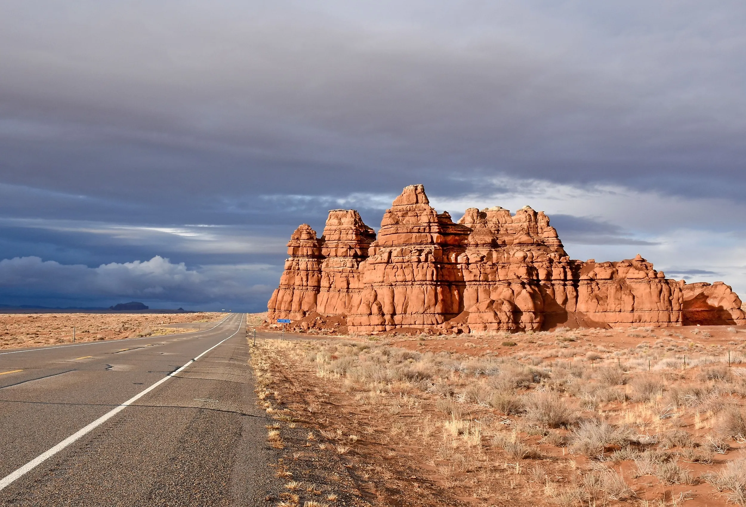
There is a section of this road called the Hogback where the pavement runs along a knife-edge ridge with the ground falling away on both sides at once. No guardrails, no shoulder, just two lanes and a lot of air. Utah 12 earned its All-American Road designation, the top federal tier for a scenic byway, and only a few dozen roads in the country hold it.
The route covers about 122 miles between US-89 near Panguitch and Torrey, just west of Capitol Reef National Park. It clips Bryce Canyon National Park at the start, passes the trailhead for Lower Calf Creek Falls, and runs through Escalante, the gateway town for Grand Staircase-Escalante National Monument. Garfield County, which the highway crosses, contains parts of three national parks, which is a fair claim for a county of about 5,000 people.
The Million Dollar Highway, Colorado

Nobody agrees on where the name came from. One story says the roadbed cost a million dollars a mile in the 1920s. Another says the fill gravel was so rich in ore it was worth a million. The best one says a passenger reached the far end and announced she would not do it again for a million dollars.
The Million Dollar Highway is the 25-mile run of US 550 between Ouray and Silverton, and that is the whole of it. It climbs Red Mountain Pass at 11,018 feet, the high point of the stretch, named for rock stained rust red by the mines that riddle the slopes. Long sections have no guardrail. The turns are tight, the lanes are narrow, and the drop-offs are measured in hundreds of feet.
Ouray sits at 7,800 feet in a horseshoe of 13,000-foot peaks and bills itself the Switzerland of America. Silverton, population around 600, is a National Historic Landmark that still looks like 1885. Keep going south of Silverton toward Durango and you cross Molas Pass at 10,970 feet and Coal Bank Pass at 10,610, both worth the detour, though neither is on the Million Dollar Highway proper.
Before You Turn the Key
Seven of these nine roads close on a schedule or without warning. Going-to-the-Sun and the Beartooth are snowbound most of the year and open on the plows' timetable. Highway 1 slides into the ocean with some regularity and has been shut for fire this month. The Blue Ridge Parkway is still repairing hurricane damage two years on. That is not an argument against driving them; it is the reason they look the way they do. Roads that get carved through ranges this steep and coastlines this raw are roads that mountains and weather keep arguing with. Look up the current status the morning you go, and pick the drive that is actually open rather than the one you planned in January.