9 Cute Small Town Drives In Texas
A Texas road trip does not have to mean losing an entire day to the interstate. Some of the state's most memorable routes cover less than 100 miles, with enough stops along the way to turn an hour behind the wheel into an all-day outing. Depending on the region, the road might descend into a red-rock canyon, run beside Aransas Bay, or cut through the Chihuahuan Desert. The towns are part of the appeal, too. These drives pass through places where you can tour a working 1914 cotton gin, look for dinosaur tracks in a riverbed, visit an old frontier Army post, or board a car ferry bound for Mustang Island.
Fredericksburg, Stonewall, And Johnson City

About 30 miles, 35 to 40 minutes without stops
US Highway 290 connects three worthwhile Hill Country stops in about 30 miles. Fredericksburg sits at the western end, Stonewall falls roughly midway along the route, and Johnson City is farther east.
Fredericksburg's German roots remain easy to spot around Main Street, but travelers interested in history should allow several hours for the National Museum of the Pacific War. The museum grew from an institution honoring Fleet Admiral Chester W. Nimitz, who was born in Fredericksburg, and now covers the Pacific theater of World War II.
About 15 miles east, Stonewall puts visitors in Lyndon B. Johnson country. The LBJ Ranch is open for a self-guided driving tour, but the Texas White House complex remains closed for rehabilitation. The neighboring Lyndon B. Johnson State Park and Historic Site is also in Stonewall. At the latter, the Sauer-Beckmann Living History Farm recreates daily life on an early 20th-century Texas-German farm.
Stay on US 290 for roughly another 14 miles to reach Johnson City. The National Park Service maintains LBJ's boyhood home and the Johnson Settlement here. For something completely different, the Science Mill fills a former 1880s gristmill with hands-on science exhibits.
Wimberley, Fischer, And Blanco Along The Devil's Backbone

About 30 miles, roughly 40 minutes without stops
The Devil's Backbone cuts across a limestone ridge between the Wimberley area and US Highway 281. Ranch Road 32 supplies the memorable portion, climbing above wooded valleys before passing through the tiny community of Fischer on the way toward Blanco.
Wimberley is a good place to spend a few hours before driving west. Blue Hole Regional Park has trails and picnic areas around Cypress Creek, plus a spring-fed swimming area beneath old bald cypress trees. Swimming is seasonal, requires advance reservations, and can be suspended when low flow, poor visibility, bacteria, or other conditions make the water unsafe.
From Wimberley, Ranch Road 12 connects with RR 32. The road gains elevation quickly, and a roadside overlook near the eastern end gives drivers a broad view across the surrounding Hill Country. Farther along, the restored Fischer Store recalls the community's mercantile history, while the separate Fischer Hall continues to host dances, parties, and weddings.
After RR 32 reaches US 281, turn north for Blanco. The Old Blanco County Courthouse, built in the 1880s, occupies the center of town. Blanco State Park is only a few blocks south. Its one-mile stretch of the Blanco River has swimming areas, fishing access, paddling, and low-water dams built by the Civilian Conservation Corps.
Medina, Vanderpool, Leakey, And Camp Wood On Ranch Road 337

About 60 miles, roughly 1 hour and 15 minutes without stops
Ranch Road 337 has little interest in traveling in a straight line. West of Medina, it curls through increasingly rough Hill Country terrain on its way through Vanderpool and Leakey before reaching Camp Wood.
Medina is known for the apple orchards surrounding the town, but the scenery changes considerably as RR 337 heads west. Near Vanderpool, travelers can make a detour north on Ranch Road 187 to Lost Maples State Natural Area. Bigtooth maples bring crowds during the fall color season, though the park's limestone canyons and hiking trails remain accessible at other times of year.
Back on RR 337, the road continues toward Leakey and the Frio River. Leakey is also where RR 336, another of the Three Twisted Sisters, heads north. West of town, RR 337 climbs and twists again before descending toward Camp Wood and the Nueces River.
Anyone continuing onto the complete Three Twisted Sisters route can pick up RR 335 north of Camp Wood and eventually use RR 336 to return toward Leakey. That larger circuit is substantially longer than this 65-mile drive, so fuel up before heading onto the more isolated ranch roads.
Alpine, Marfa, And Fort Davis

About 70 miles, roughly 1.5 hours without stops
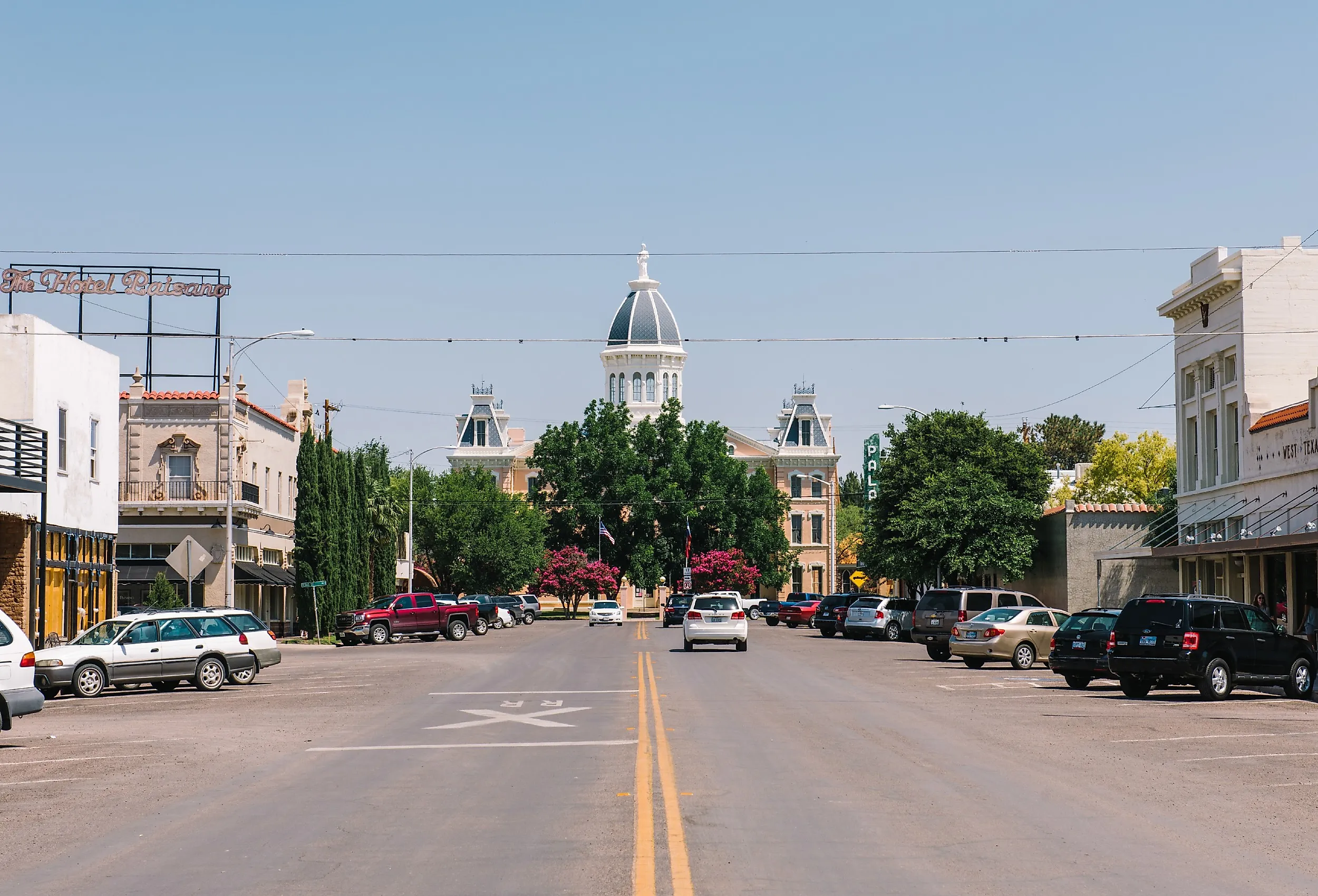
The triangle formed by Alpine, Marfa, and Fort Davis covers only about 70 miles, yet the roads cross some of the most dramatic high-desert country in Texas. Alpine and Marfa are roughly 25 miles apart, Marfa and Fort Davis are about 21 miles apart, and the Fort Davis-to-Alpine leg is around 24 miles.
In Alpine, the Museum of the Big Bend on the Sul Ross State University campus covers more than 500 years of regional history. Its exhibits are useful preparation for understanding the landscape outside, where ranch country gradually gives way to the Chihuahuan Desert.
US Highway 90 heads west to Marfa. Contemporary art has become closely tied to the town, largely because of artist Donald Judd, who moved there in the 1970s. The Chinati Foundation maintains large-scale permanent installations, including Judd's outdoor concrete works.
Texas Highway 17 turns north from Marfa and climbs toward Fort Davis. Fort Davis National Historic Site preserves an Army post established in 1854 to protect travelers, mail coaches, and freight wagons moving through West Texas. Visitors can walk through restored officers' quarters, barracks, and other structures beneath the Davis Mountains.
Take Texas Highway 118 south from Fort Davis to return to Alpine and close the triangle.
Brenham, Burton, Round Top, And La Grange

About 40 miles, roughly 50 minutes without stops
Spring wildflowers get plenty of attention in this part of Texas, but there is more to the drive between Brenham and La Grange than bluebonnets. A route through Burton and Round Top passes a working historic cotton gin, old German-Texan buildings, and two courthouse towns.
Head west out of Brenham on US Highway 290 toward Burton. The Texas Cotton Gin Museum preserves the 1914 Burton Farmers Gin, billed by the museum as the oldest operating cotton gin in America. Guided tours explain how cotton moves through the machinery, and the gin still operates during demonstrations and special events.
From Burton, work south toward Round Top. The town becomes much busier during its major antiques shows, but Festival Hill is worth knowing outside market season. The Round Top Festival Institute maintains a concert hall, historic houses, gardens, and other buildings on its campus.
Texas Highway 237 runs south from Round Top toward La Grange. Once there, the 1891 Fayette County Courthouse is hard to miss in the middle of the square. A few minutes away, the Texas Czech Heritage and Cultural Center has preserved buildings, exhibits, and genealogical resources documenting Czech settlement in Texas.
Jefferson, Karnack, And Uncertain At Caddo Lake

About 20 miles, roughly 30 minutes without stops
Drive east from Jefferson, and the road soon leaves the brick storefronts behind for the forests and waterways around Caddo Lake. FM 134 and connecting roads lead toward Karnack and Uncertain, where bald cypress trees rise from the water and Spanish moss hangs over narrow channels.
Jefferson owes much of its 19th-century prosperity to Big Cypress Bayou and river traffic. The Jefferson Historical Museum now occupies the former federal courthouse and post office, with exhibits covering Caddo artifacts alongside objects from the city's steamboat era.
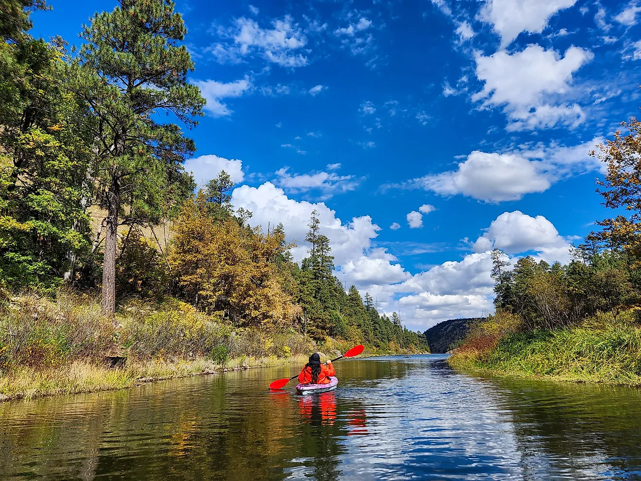
FM 134 runs east from Jefferson toward Karnack. Caddo Lake State Park is nearby on Big Cypress Bayou, where paddlers can launch into the waterways feeding Caddo Lake. Cabins built by the Civilian Conservation Corps in the 1930s remain available for overnight stays, and the park also has hiking, fishing, and canoeing.
Uncertain sits a few miles farther along the lake. Local boat tours take passengers into waterways where cypress trunks emerge directly from the water. Paddlers should remember that alligators live at Caddo Lake, something Texas Parks and Wildlife specifically advises visitors to keep in mind.
Granbury, Glen Rose, And Hico

About 45 miles, roughly 1 hour without stops
A courthouse square, dinosaur tracks, and a disputed Wild West story all fit into one 45-mile drive through Granbury, Glen Rose, and Hico.
Granbury's Hood County Courthouse rises from the center of its historic square. The Granbury Opera House sits nearby and still hosts live productions, so an evening performance can easily be added to a road trip that begins earlier in the day.
Texas Highway 144 heads south toward Glen Rose. A few miles outside town, Dinosaur Valley State Park protects dinosaur footprints left in the limestone around the Paluxy River. Visibility changes with water levels, so checking current park conditions before visiting is worthwhile. More than 20 miles of trails give visitors something else to do when river conditions obscure some of the tracks.
From the Glen Rose area, Texas Highway 220 leads toward US Highway 281 and Hico. Downtown Hico has blocks of late 19th and early 20th-century commercial buildings, but one of its stranger claims to fame involves Billy the Kid. The Billy the Kid Museum examines Brushy Bill Roberts's claim that he was Billy the Kid, although the widely accepted account holds that Pat Garrett killed the outlaw at Fort Sumner in 1881. Historians have disputed the claim for years, which is half the fun of stopping to hear the story.
Fulton, Rockport, Aransas Pass, And Port Aransas

About 30 miles, roughly 1 hour without a long ferry wait
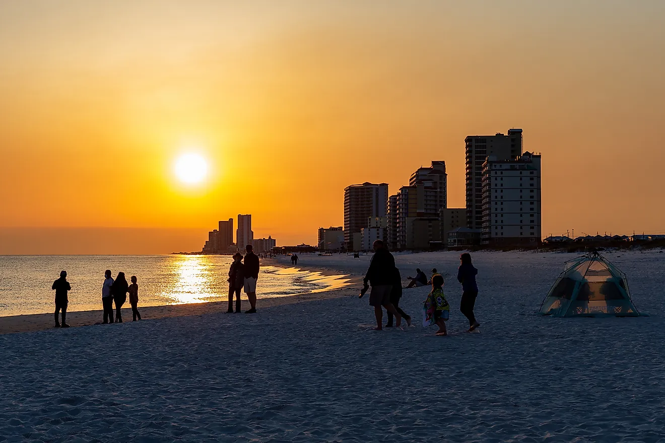
This drive stays close to the water for much of its route, following the Coastal Bend south from Fulton through Rockport and Aransas Pass before crossing the Corpus Christi Ship Channel to Port Aransas.
Fulton Mansion is an appropriate first stop. George and Harriet Fulton built the French Second Empire house between 1874 and 1877. Its gas lighting, central heating, and indoor plumbing were unusually advanced for a Texas Gulf Coast residence of the period. Visitors can tour the house and see some of the engineering behind those systems.
Rockport is only a few miles south. Rockport Beach has calm Aransas Bay water rather than open Gulf surf, while the Texas Maritime Museum covers subjects including Texas seaports, fishing, shipbuilding, and offshore oil and gas.
Continue south toward Aransas Pass, then follow Texas Highway 361 to the ferry landing. TxDOT operates the free ferry across the Corpus Christi Ship Channel to Port Aransas. The actual crossing is short, although traffic can add substantial waiting time during busy weekends and holidays.
Once the ferry reaches Mustang Island, the Leonabelle Turnbull Birding Center is a worthwhile stop before heading to the beach. Its boardwalk extends over freshwater wetlands where roseate spoonbills, herons, ducks, and other birds gather. American alligators have also been seen there, so keep an eye on the water as well as the sky.
Claude, Silverton, And Quitaque Through The Panhandle

About 80 miles, roughly 1 hour and 40 minutes without stops
Anyone who thinks the Texas Panhandle is nothing but flat farmland should drive Highway 207 south from Claude. Within a relatively short distance, the pavement drops from open plains into red-rock canyon country before climbing out again toward Silverton. South of Claude, Highway 207 approaches the breaks carved by the Prairie Dog Town Fork of the Red River. The descent exposes layers of red and tan rock that are invisible from the surrounding plains.
Highway 207 eventually reaches Silverton, the Briscoe County seat. From Silverton, turn east on Texas Highway 86 toward Quitaque, then take FM 1065 north to Caprock Canyons State Park. The route approaches the Caprock Escarpment, where the terrain drops sharply into red-rock canyons.
Caprock Canyons is home to the Texas State Bison Herd, descendants of animals preserved by famed cattleman Charles Goodnight and his wife, Mary Ann. Bison roam parts of the park rather than staying behind a zoo-style enclosure, so drivers sometimes encounter them near the road. Nearly 90 miles of trails extend into the surrounding canyon country, including routes leading onto ridges above Lake Theo.
Hit The Road In Texas
Texas changes quickly once you leave the interstate. One drive winds through the Davis Mountains, another reaches the cypress-filled waters of Caddo Lake, while Highway 207 drops straight into Panhandle canyon country. With historic towns breaking up the miles, these routes give travelers plenty of reasons to slow down and take the back roads.