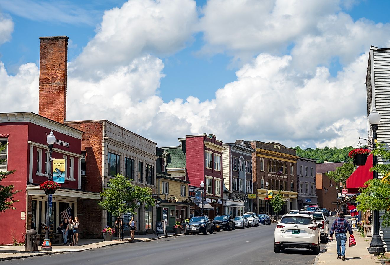
8 Most Scenic Drives in South Carolina
South Carolina’s roads wind through Blue Ridge foothills and coastal marshes that stretch toward the Atlantic. The Cherokee Foothills Scenic Highway traces the base of the Blue Ridge Escarpment for more than 100 miles, passing Lake Hartwell and waterfalls tucked into wooded slopes near Pickens and Walhalla. Farther south near Charleston, Ashley River Road creates one of the state’s most iconic drives, where towering live oaks and Spanish moss frame historic plantation entrances along the banks of the Ashley River.
Cherokee Foothills Scenic Highway (South Carolina Highway 11)

With a length of approximately 112 miles, the Cherokee Foothills Scenic Highway stretches from Interstate 85 near the Georgia border to Gaffney in South Carolina's Cherokee County, following the base of the Blue Ridge Escarpment. As a National Scenic Byway, this route provides the best overall perspective on where the mountains meet the Piedmont.
Near Lake Hartwell, the land seems expansive and deliberate. Low ridges are visible in the distance. As the route presses on towards Walhalla and Pickens, the ridges grow more defined. Wooded slopes rise closer to the road, and the escarpment becomes apparent in the way the land drops precipitously. Table Rock Mountain is a prominent feature near Pickens, as Its granite face changes color with the light, from gray to silver.
There are also points of access near waterfalls and rocky outcroppings where water cascades from higher ground, especially in the spring. As you move east of Pickens, the land becomes less rugged. Orchards and pastureland reappear. By the time the highway nears Gaffney, the mountains are behind you. Barren trees are painted red and gold by fall, while spring brings new life to the slopes and more water in the streams. The road is in good repair, with wide turns and smooth grade changes that are easy on most cars.
South Carolina Highway 107

South Carolina Highway 107 runs from South Carolina Highway 28 near Mountain Rest north toward the North Carolina border, cutting directly through the Blue Ridge Mountains in Oconee County. Unlike the broader sweep of the Cherokee Foothills Highway, SC 107 climbs into higher elevation terrain and stays there. The road narrows as it gains elevation. Hardwood forest presses close to the shoulders, and curves tighten steadily. At higher points, roadside pull-offs provide long-range views across the Chattooga River watershed and the surrounding Blue Ridge ridgelines.
On clear days, layers of mountains stack into the distance in muted blue tones, resembling and impressionist painting. This stretch feels more rugged than SC 11. Elevation changes are sharper, and the forest canopy is denser. In fall, hardwoods along the ridgelines shift to red and amber, while evergreen stands hold darker contrast. Spring brings fresh green growth and clearer sightlines through the trees before the canopy fully thickens. Traffic is light compared to major corridors, but drivers should expect winding sections and limited shoulders in places.
Mountain Bridge Wilderness Area (SC 11, US Route 276, SC 107)

Just north of Pickens, the Mountain Bridge corridor climbs straight into the escarpment, connecting SC 11 with US Route 276 and SC 107 near the North Carolina line. This section features some of the steepest elevation changes in South Carolina. The road up to Caesars Head begins abruptly, as turns grow sharper and the grade becomes steeper. The hardwood forest closes in, limiting your view, and the altitude increases steadily. As a result, the temperature can be a degree or two cooler at the higher elevations. At Caesars Head State Park, viewing platforms face the Piedmont region below. On a clear day, the ridges are visible as soft blue bands across the horizon. The drop-off is apparent, as is the extent of the land rolling southward.
Continuing on towards SC 107 and the Jocassee Gorges area, the terrain becomes increasingly steeper and more rugged. Switchbacks lead down towards Lake Jocassee, whose deep blue color contrasts sharply with the surrounding evergreen forests. The shoreline of the lake, largely unspoiled, adds to the feeling of being far removed from the lowlands. Road conditions include narrow lanes and tight turns. During the fall, the colors of the foliage heighten the contrast between rock and forest, while winter conditions can occasionally be icy in higher areas.
Savannah River Scenic Byway (Western Border Corridor)

Stretching some 110 miles along the western border of South Carolina, the Savannah River Scenic Byway follows SC 28 and various connecting routes around Lake Hartwell and Lake Russell. This National Scenic Byway, as it is officially designated, is characterized by its waterways. Near Seneca, Lake Hartwell is visible in glimpses between towering pines. Further south, sloping hills of forest encircle long stretches of Lake Russell shoreline.
In some areas, the lake broadens out into large inlets before narrowing again into secluded coves. Overlooks near Calhoun Falls offer broad vistas of the reservoir. Early morning hours sometimes find a thin veil of mist drifting above the surface, temporarily blurring the distinction between water and sky. As the route continues, the reservoirs give way to farmland. We see how tree lines recede, fields expand, and the terrain flattens into farmland before changing again. Road traffic is light throughout most of the route, and road surfaces are good at all times of the year.
Ashley River Road (South Carolina Highway 61)

Ashley River Road is an 11-mile route west of Charleston on South Carolina Highway 61 and is a National Scenic Byway. Although short, it provides one of the most iconic views in the state. The road is flat, but the canopy is what matters. Live oaks are present on both sides of the road, their limbs stretching overhead in long lines. Spanish moss hangs in still strands, filtering light and reducing contrast.
Historic plantation entrances are present along stretches of the route, marked by stretched oak-lined approaches that lead off into private property. The Ashley River is present along much of the route, occasionally catching light through gaps in the trees. Traffic increases closer to Charleston but decreases as the route heads further west. Late afternoon lighting increases texture in bark, moss, and water.
South Carolina Highway 162

South Carolina Highway 162 runs between Adams Run and Hollywood, offering a different view of the Lowcountry than the one most travelers know. This is not a coastal drive in the traditional sense. It is quieter, more interior, and defined by open space. Leaving Hollywood, the road moves past tidal wetlands and shallow creeks before widening into farmland. Fields stretch long and low toward distant tree lines. On clear days, the sky seems to occupy as much space as the land itself, with tidal creeks and marshes nearby, including portions of the Wadmalaw River system a few miles to the south.
There are no dramatic elevation shifts here, as the horizon stays level. Live oaks and pines appear in loose clusters, often marking property lines or old homesteads. Development is sparse, and traffic is typically light enough that the drive feels uninterrupted. In spring, marsh grass and crops brighten the landscape. In fall, the light softens and the air dries slightly, giving the farmland sharper definition. The scenery unfolds slowly rather than abruptly, rewarding drivers who notice small changes instead of sweeping ones.
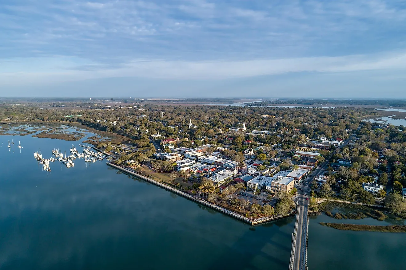
Edisto Island National Scenic Byway (South Carolina Highway 174)

South Carolina Highway 174 stretches about 17 miles from the mainland near Hollywood to Edisto Beach and is formally recognized as the Edisto Island National Scenic Byway. The route starts by crossing over tidal creeks that open into broad salt marsh. Marsh grasses extend out in broad fields, subtly shifting in hue depending on the season and lighting. Bridges cross over estuaries where small boats and piers lie low on the horizon.
As Edisto Island draws near, maritime forest temporarily closes in before opening again near the shoreline. Palmettos become more common, and the scent of the ocean becomes apparent before the Atlantic coastline comes fully into view. Spring and autumn provide pleasant temperatures and less traffic, while summer weekends see more traffic near the beach.
US Highway 17 (Coastal Highway)

US Highway 17 traces the length of the South Carolina coastal plain from the Georgia border to the North Carolina state line. The section between Little River, Georgetown, and Beaufort demonstrates the variety. Around Myrtle Beach, there are dunes and occasional views of the ocean side by side with development.
South of Georgetown, the environment shifts suddenly: marshes expand outward and river crossings reveal tidal patterns reaching toward distant lines of trees. Near Beaufort, live oaks with Spanish moss shade parts of the road, and large creeks wind through the flat Lowcountry landscape. There is more traffic in the summer near beach towns; while spring and autumn, provide a more consistent flow and better visibility.
The scenic drives in South Carolina reflect the state’s contrasts. Mountains abruptly emerge from farmland, while rivers cut wide reservoirs through wooded hills. Coastal roads traverse marshes that stretch to the horizon. Some routes climb sharply into cooler air and long-range views, while others move slowly through flat landscapes where water, sky, and land blend together.
Whether hugging an escarpment, winding through hardwood forest, or cruising beneath moss-draped live oaks, these roads reveal the state gradually rather than all at once. They reward patience, small detours, and attention to subtle shifts in terrain. In South Carolina, the most memorable views are rarely confined to a single overlook; they appear along the miles in between, waiting for drivers who are willing to slow down and notice the landscape as it unfolds.