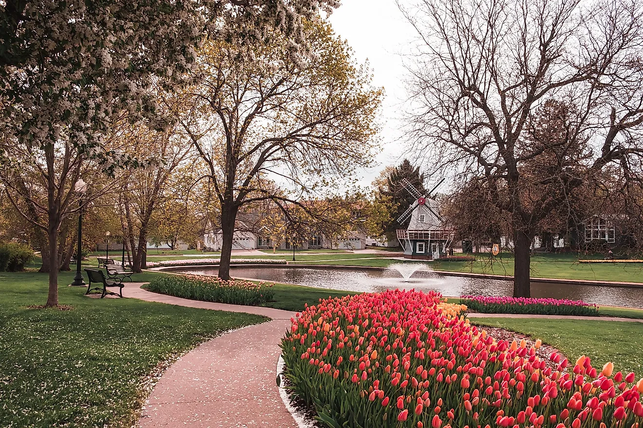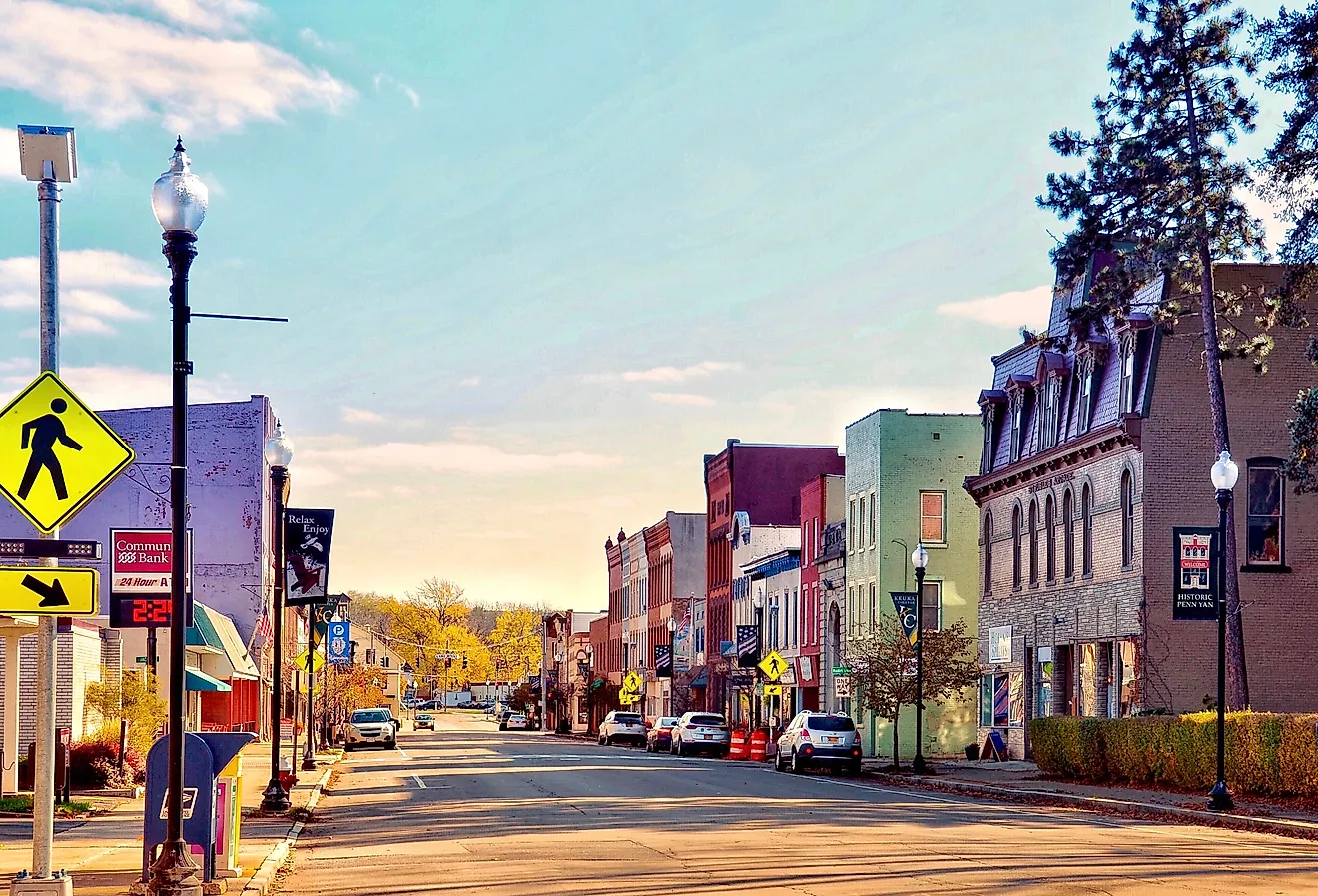
10 Of The Quietest Oregon Towns
Quietness in these ten towns is a function of geography and population. Manzanita has a permanent population of under 700. Yachats holds fewer than 1,000 residents along a stretch of central Oregon coast that sees a fraction of the foot traffic of the more visited shoreline to the north. Joseph sits alone in the state's northeast corner at the end of a long drive into the Wallowa Mountains. These ten Oregon towns, from rainforested coastal headlands to the volcanic high country of the Cascades, hold that calming quality consistently.
Jacksonville

Jacksonville is one of Oregon's best-preserved Gold Rush-era towns, a place where 19th-century buildings still stand along tree-lined streets in a downtown that has changed remarkably little in more than 150 years.

At the heart of town, the 1870s Cornelius C. Beekman House Museum, managed by Historic Jacksonville, Inc., offers guided tours of the fully furnished home of Jacksonville's wealthiest and most prominent pioneer family. Guides lead visitors through Victorian architecture, furnishings, and the day-to-day realities of 19th-century frontier living. A short walk away, the 1863 Beekman Bank Museum can be seen, with its interior largely intact since the bank closed in 1915. More than $40 million in gold once crossed its counters during Jacksonville's mining peak, a figure worth well over a billion dollars today. Historic Jacksonville, Inc., an organization, operates both museums and hosts tours, including haunted history walks, pioneer history events, and seasonal living history tours. The surrounding Applegate Valley adds rolling hills and vineyards to the picture, with the Applegate Lake nearby, accessible for those who want to go boating or camping.
Joseph

Joseph is one of the most remote small towns in Oregon, tucked into the northeastern corner of the state beneath the Wallowa Mountains, which are sometimes referred to as the "Alps of Oregon" due to their resemblance to the European Alps. The town of Joseph holds a combination of stunning alpine scenery and layered cultural history that few places of its size can match.
Wallowa Lake State Park is a state park that is wrapped around a glacially carved lake with a large sandy beach, marina, and a seasonally operating tramway to the summit of 8,200-foot Mount Howard. The Wallowa Lake Tramway offers sweeping views of the Wallowa Lake basin and the surrounding Eagle Cap Wilderness. Adjacent to the lake, Iwetemlaykin State Heritage Site sits on the ancestral homeland of the Nez Perce Tribe, which is considered a sacred site. In addition, the site features trails passing Knight's Pond and connecting to the Old Chief Joseph Gravesite. The nearby Nez Perce National Historical Park honors the broader cultural landscape of this region, consisting of 38 sites that collectively tell the story and traditions of the Nez Perce tribe.
Sisters

Sisters is a small Oregon mountain town sitting at the base of three Cascade volcanic peaks that give it its name: North, Middle, and South Sister. Its Western-themed downtown is backed by some of the most accessible high-elevation landscapes in the state. Fifteen miles west on Highway 242, the Dee Wright Observatory rises from 65 square miles of jet black lava fields at an elevation of 5,187 feet. Built by the Civilian Conservation Corps in 1935, the tower offers panoramic views of the surrounding Cascade peaks. According to the U.S. Forest Service, NASA conducted astronaut drills here in 1964 because the moon-like lava fields resembled lunar terrain. The observatory is only accessible outside of the winter season and is typically closed between November and mid-June. The Three Sisters Wilderness, accessible from trailheads near Sisters, protects over 280,000 acres of Cascade high country, including Collier Glacier. Dozens of alpine lake basins are accessible through a range of trails with varying difficulty levels.
Manzanita

Manzanita is a beach town of less than 700 people on Oregon's north coast, where the main road ends at the Pacific, and the surrounding parks offer more varied terrain than many towns ten times its size. The town's proximity to protected coastline makes it an ideal base for travelers.
Just south of town, Oswald West State Park stretches across nearly 2,500 acres of dense temperate rainforest along four miles of coastline. Short Sands Beach, nicknamed "Shorty's" by locals, is a sheltered cove positioned between volcanic basalt and sandstone cliffs, accessible by a half-mile forest walk. The park also includes a 13-mile segment of the Oregon Coast Trail running from Arch Cape through the park toward the Neahkahnie Mountain area. The mountain, accessible by trail from Oswald West, rises above the park's northern end and holds a long oral tradition among the Tillamook and Clatsop peoples. This legend has led to the mountain being nicknamed "the mountain of a thousand holes" due to extensive treasure hunting, which took place because of the Spanish shipwreckage buried on its slopes. The beautiful views from the top make the climb very worthwhile. Nehalem Bay State Park, just south of Manzanita on the bay's sandy spit, offers hiker camping, a two-mile bike path along the bay, and a horse camp, offering visitors a variety of options from horseback riding to hiking and seal watching around the waters of Nehalem Bay.
Florence

Florence sits at the mouth of the Siuslaw River on the central Oregon coast, positioned where the river meets the Pacific just north of one of the world's largest expanses of temperate coastal sand dunes. The Oregon Dunes National Recreation Area, established by Congress in 1972 and managed by the U.S. Forest Service, stretches 40 miles from Florence to Coos Bay. Some dunes here reach 500 feet above sea level. Visitors can hike the Oregon Dunes Day Use Loop Trail, paved for the first half mile before descending into open sand, or explore off-highway vehicle (OHV) areas, and paddle interior lakes.

Twelve miles north of Florence on Highway 101, Heceta Head Lighthouse State Scenic Viewpoint is one of the most photographed lighthouses in the country. Its 56-foot tower, first illuminated in 1894, is said to produce the strongest beacon on the Oregon coast. This lighthouse is visible 21 miles from shore, and the adjacent 1893 keeper's house operates as a bed and breakfast, offering a seven-course gourmet breakfast and a wine and cheese social for guests. Four miles south of Florence, Jessie M. Honeyman Memorial State Park provides freshwater swimming in Cleawox Lake, direct access to the dunes, and one of the most popular campgrounds on the Oregon coast. The park provides direct access to the sand dunes and offers opportunities for hiking, fishing, and boating, which are all excellent options for nature lovers.
Astoria

Situated near the Columbia River's mouth, Astoria offers one of the clearest views into the history of the Pacific Northwest. The Astoria Column is 125 feet tall and sits on top of Coxcomb Hill, which is more than 600 feet high. The outside shows 14 important events in the history of the area, from Captain Gray's landing at the Columbia in 1792 to the introduction of the railroad. Visitors who climb all 164 steps inside have a panorama that showcases the Columbia River. Around 6.5 miles to the southwest lies Lewis and Clark National Historical Park, which is centered around a rebuilt Fort Clatsop, which was the Corps of Discovery's winter camp from 1805 to 1806. The National Park Service runs canoe and kayak trips through the marshes around the monument, which adds an active as well as a historical aspect to the site. The Columbia River Maritime Museum is located on the waterfront and has the largest collection of maritime artifacts in the Pacific Northwest. It tells the story of the famous Columbia River Bar, which is one of the most perilous ocean crossings in the world. It features navigation charts, models of ships, and interactive displays that show the whole history of maritime activity on the Oregon coast.
Yachats

Yachats is a village of almost 1,000 people on the central Oregon coast. It is widely considered one of the most peaceful stretches of the entire 363-mile coastline. The basalt shoreline here is dramatic, the surrounding forest is dense, and the overall atmosphere tends to slow people down immediately. Three miles south of town, Cape Perpetua Scenic Area encompasses 2,700 acres of coastal temperate rainforest managed by the Siuslaw National Forest. Its headland rises 800 feet above the Pacific, the highest viewpoint accessible by car on the Oregon coast, and on clear days, views extend nearly 40 miles out to sea.
The scenic area offers 26 miles of trail, including the Giant Spruce Trail. This trail leads to an over 500-year-old Sitka spruce standing over 185 feet tall. Within the same area, Thor's Well is a natural drain hole in the basalt shelf at Cook's Chasm that dramatically draws in and releases ocean surges at high tide. One of the most photographed geological features on the coast, it is believed to have originated as a sea cave whose roof collapsed. Just north, Devils Churn is a narrow inlet that sends waves crashing through a sea channel carved into volcanic rock. For those drawn to the natural world, the Yachats State Recreation Area is a rewarding escape. At the northern edge of town, the park features an accessible viewing platform for observing whales and waves, and a path that leads to a rocky intertidal area rich with marine life during low tide.
Gold Beach

Gold Beach is a small town at the mouth of the Rogue River on Oregon's southern coast, known primarily as a gateway to wild river scenery and a stretch of coastline with some of the most stunning views in the state, and opportunities for hikers and sightseers alike. The Rogue River, a federally designated Wild and Scenic River, defines Gold Beach. Jet boat tours from town into the rugged Rogue River Canyon offer an easy gateway to Oregon's interior wilderness. Aboard the tour, you may catch a glimpse of the local wildlife, such as deer, river otter, and bald eagles. Cape Sebastian State Scenic Corridor, a few miles south of Gold Beach, features parking areas more than 200 feet above sea level. Its south viewpoint offers views stretching up to 43 miles north and nearly 50 miles south toward Crescent City, California. The cape also delivers excellent gray whale sightings during spring and fall migrations. Pistol River State Scenic Viewpoint is a windswept beach of striking coastal light and consistent offshore winds that make for an unforgettable windsurfing destination.
Brookings

Brookings sits just seven miles north of the California border. It is noted for its microclimate, which provides more sunshine than most of the Pacific Northwest coast. It is a place of pronounced natural beauty that sees far fewer visitors than its scenery deserves.

Harris Beach State Park sits directly adjacent to town, its rocky shoreline scattered with sea stacks and offshore islands that form part of the U.S. Fish and Wildlife Service's Oregon Islands National Wildlife Refuge. A short beach trail offers coastal views and direct access to the surf, and the campground operates all year round. Just north of Brookings, Samuel H. Boardman State Scenic Corridor follows 12 miles of Oregon's most celebrated coastal scenery along Highway 101. Its trail connects various viewpoints, secluded beaches, and rock formations, including the seven natural arches at Natural Bridges, which are accessible by a short hike from a roadside pullout. Nine miles up the Chetco River from Brookings, Alfred A. Loeb State Park preserves a unique ecosystem of mature myrtle trees that are worth visiting. The park offers various recreational activities such as camping, fishing, and swimming. The mix of coastal views, old-growth forest, and river wilderness within a short drive makes Brookings one of the most elegant small towns in the state.
Bandon

Bandon is a compact coastal town at the mouth of the Coquille River, defined by one of the most photogenic shorelines in Oregon and a downtown that has held onto its fishing character to the present day. Face Rock State Scenic Viewpoint, located along Beach Loop Road, offers views of sea stacks, including the namesake Face Rock. This formation is long associated with a Native American legend from the Coquille Indian Tribe, which identifies the face in the rock as Ewauna, daughter of a powerful tribe leader, who turned to stone while gazing at the sky.
The rocks and tidal flats surrounding Face Rock provide critical nesting habitats for multiple seabird species. Three miles from Bandon, Bullards Beach State Park sits at the river's mouth and is home to the 1896 Coquille River Lighthouse, which operated until 1939 and opens for free tours from May through September. The park features 11 miles of equestrian and hiking trails, four miles of beach and dunes, and a year-round campground, providing opportunities for all kinds of visitors. Across the Coquille River from Bullards Beach, the Bandon Marsh National Wildlife Refuge, managed by the U.S. Fish and Wildlife Service, provides critical stopover habitat, encompassing nearly 900 acres of salt marsh, mudflats, and forested wetlands and accommodating migratory shorebirds and waterfowl that visitors can see.
The ten towns on this list cover a wide range of Oregon's geography, from the rainforested headlands above Yachats to the volcanic lava fields surrounding Sisters. They share a quality that is harder to manufacture than any mere landmark or trail, because of their cultural history and natural scenery. It means the tidepools at Face Rock in Bandon are rarely crowded, and the view from the Dee Wright Observatory near Sisters lands with full force. It also means a walk through Jacksonville's 19th-century downtown feels like a genuine encounter with history in the present. Oregon's quietest towns reward the visitors who come prepared with specific destinations in mind and the patience to slow down once they arrive.