The 15 Most Famous Geographical Wonders Of China
China is less a country than a continent's worth of scenery crammed inside one border. Within its frontiers sit the highest mountain on the planet, the world's largest tidal bore, deserts that swallow cities whole, and hills striped like a painter's dropcloth. Some of these wonders were carved by glaciers and rivers over millions of years. Others put on a show that lasts a single season, or one roaring afternoon. Here are fifteen of the most remarkable natural wonders in China, working up to the biggest name of them all.
Wulingyuan Scenic Area

Picture a forest where the trees are made of stone and stand a thousand feet tall. That is Wulingyuan, a maze of more than 3,000 quartzite-sandstone pillars rising out of the subtropical green of Hunan province, many of them taller than 660 feet. Mist pools between the columns, waterfalls spill off their flanks, and caves and natural bridges lace the valleys below. If the scene looks familiar, it is because the floating peaks of Pandora in the film Avatar were modeled on these very towers. UNESCO recognized the site in 1992, and today it sits protected inside several parks, including Zhangjiajie, China's first national forest park.
Tiger Leaping Gorge

One of the deepest river canyons on Earth, Tiger Leaping Gorge is where the Jinsha River, a headwater branch of the Yangtze, knifes between two snow giants: 18,360-foot Jade Dragon Snow Mountain and 17,700-foot Haba Snow Mountain. Nearly 12,500 feet separate the river below from the peaks overhead. The name comes from a legend that a hunted tiger escaped by leaping the water at its narrowest pinch, barely 80 feet across. The gorge lies within the Three Parallel Rivers World Heritage Site, and the indigenous Naxi people still farm its steep slopes from a handful of tiny hamlets, these days making a living off hikers as much as grain.
Bore Tides of the Qiantang River

Twice a month, and most dramatically each autumn, the sea attacks a river in eastern China and wins. As the tide funnels into the trumpet-shaped mouth of the Qiantang, it rears into the largest tidal bore on the planet, a wall of water up to 30 feet high that charges upstream at 25 miles per hour. Locals call it the Silver Dragon, and they have gathered to watch it for more than 2,000 years; a single autumn festival near Haining can draw over 100,000 spectators. The bore is as dangerous as it is beautiful. In 2013 a typhoon-boosted wave jumped the flood barriers and swept up bystanders. Surfers, naturally, now line up to ride it.
Rainbow Mountains of Zhangye

At the foot of the Qilian Mountains in Gansu, the earth looks as though someone tipped over a paint box. The Zhangye Danxia landform is a rolling expanse of sandstone ridges banded in red, orange, gold, and green, the colors laid down layer by layer as ancient lakebeds and dunes, then tilted on edge and buckled upward by the same tectonic collision that raised the Himalayas. Wind and water did the rest, stripping the soft rock to expose the stripes. The 322-square-kilometer geopark protects the most vivid of these hills, and low evening light sets the whole ridgeline glowing. It became a UNESCO Global Geopark in 2019.
Hukou Waterfall

The Yellow River spends much of its journey looking placid and, well, yellow. At Hukou it loses its temper. Here the river, normally about 300 meters wide, is squeezed into a stone channel barely 50 meters across and hurls itself roughly 20 meters down in a churning, silt-gold curtain of spray and thunder. It is the largest waterfall on the Yellow River and the second largest in all of China, and its muddy color has made it a national symbol, the force of the "cradle of Chinese civilization" captured in one violent chute. The falls straddle the border between Shanxi and Shaanxi, so you can take in the roar from either province.
Taklamakan Desert

The Taklamakan is China's largest desert and one of the biggest seas of sand on Earth, roughly 330,000 square kilometers of dunes filling the Tarim Basin and walled in by the Kunlun, Pamir, and Tian Shan ranges. It is the world's second-largest shifting-sand desert after Arabia's Rub' al Khali, and "shifting" is the operative word: about 85 percent of it is live dune that the wind constantly rearranges, burying roads, fields, and the occasional Silk Road city. Its nicknames say the rest. Locals call it the "Sea of Death," and one reading of its name warns that you can go in, but you will not come out. Perfectly preserved 4,000-year-old mummies have been pulled from its sands.
Jiuzhaigou Nature Reserve and National Park

Jiuzhaigou, the "Valley of Nine Villages," is a Y-shaped alpine valley in northern Sichuan strung with more than 100 lakes so intensely blue and green they look retouched. The color is real, the work of dissolved limestone and travertine that also builds the valley's tiered waterfalls and terraced pools. Elevations range between about 6,600 and 14,800 feet, and the surrounding forests shelter giant pandas and golden snub-nosed monkeys. It has been a World Heritage Site since 1992. In 2017, a magnitude-7.0 earthquake cracked the landscape, splitting the famous Nuorilang Waterfall and draining one lake, and the park did not fully reopen until 2021, its jewel-toned water back on display.
Yamdrok Lake

Yamdrok is one of Tibet's three great sacred lakes, a fan of turquoise water fed by mountain snowmelt and cupped by snow peaks some 14,600 feet above sea level. Pilgrims walk its shoreline, and Tibetan tradition holds that protective deities dwell in the lake, with a darker warning attached: should Yamdrok ever run dry, Tibet itself will become unlivable. The color alone explains the reverence. Against the bare high-altitude rock, the water glows an almost electric blue-green that shifts with the angle of the sun through the day.
Singing Dunes and Crescent Lake of Dunhuang

Near the old Silk Road oasis of Dunhuang, a crescent-shaped spring called Yueyaquan sits improbably in a bowl of towering sand at the edge of the Gobi Desert. Ringed by dunes hundreds of feet high and forever showered with drifting sand, the little lake has refused to be buried for some 2,000 years, thanks to the way the wind sweeps sand up and out of the hollow rather than into it. The dunes perform, too. Mingsha Shan means "Echoing Sand Mountain," and when the wind is right, or when visitors slide down the slopes, the moving grains hum and boom like distant music. The spring shrank alarmingly in the late 20th century and is now carefully maintained.
Cloud Sea on Mount Huang

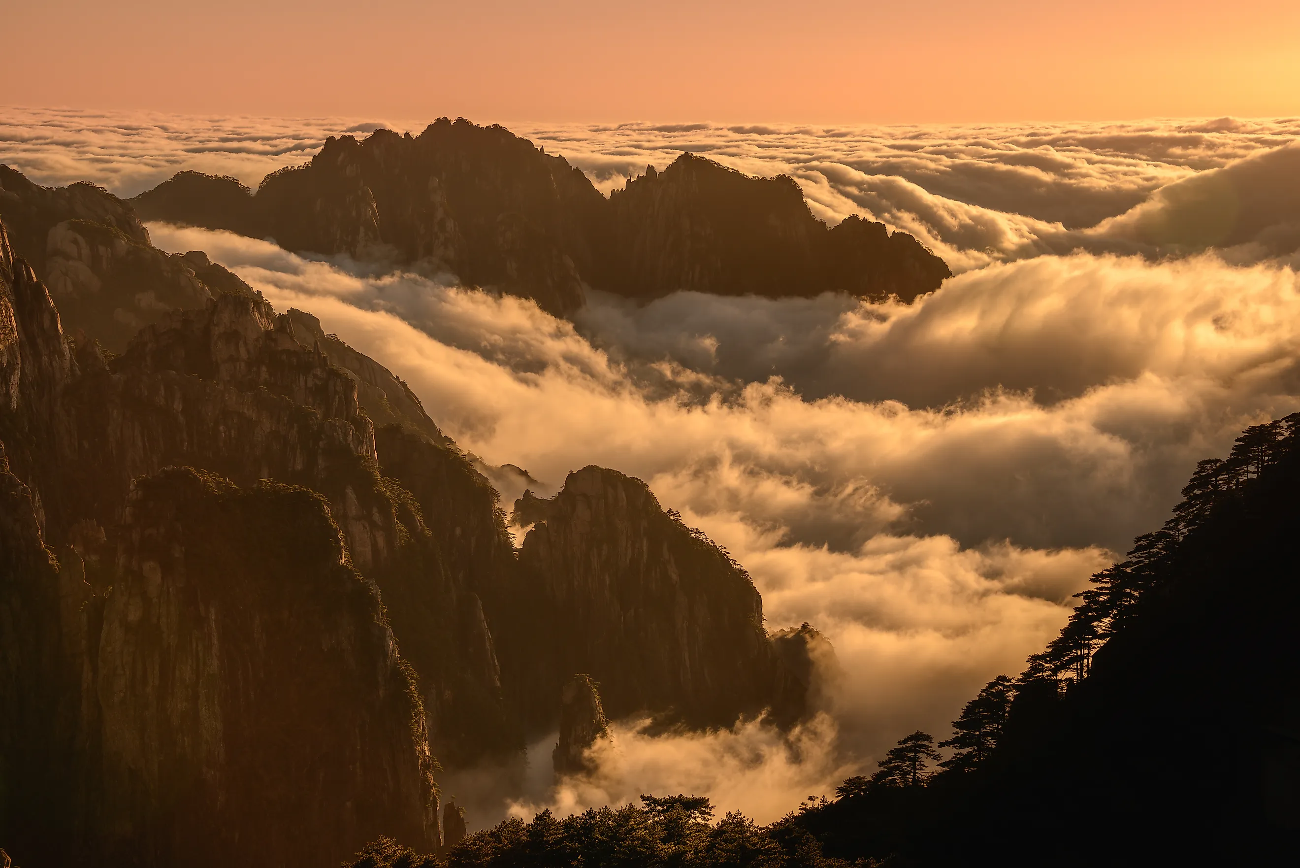
Huangshan, the "Yellow Mountain," is the peak that taught China what a mountain should look like. Its granite spires, wind-bent pines clinging to bare rock, and hot springs have inspired ink painters and poets for over a thousand years, and a Tang-dynasty emperor renamed it Huangshan back in 747. The signature spectacle is the yunhai, or sea of clouds, a low blanket of mist that pools in the valleys at dawn and leaves only the sharpest summits poking through like islands. Winter dusts the whole range in snow. Huangshan has been a UNESCO World Heritage Site since 1990, and the crowds who hike up for sunrise prove the old painters were onto something.
Icy Spectacle of Jilin

Most wonders on this list took millions of years to build. Jilin's takes a single cold night. In the depth of winter, warm water released from an upstream dam keeps the Songhua River from freezing, so it steams into the frigid air as fog. When those supercooled droplets touch the bare willows and pines along the banks, they freeze on contact, sheathing every twig and needle in feathery white rime until the trees look spun from sugar. The northeastern city of Jilin gets the display more reliably than almost anywhere, and it throws the Jilin International Rime Ice and Snow Festival to mark it, complete with skiing, skating, and a great many cameras.
The Three Gorges

For about 120 miles along the middle Yangtze, the river squeezes through three back-to-back canyons that Chinese poets have praised for two thousand years. Qutang, the shortest, is the most dramatic, its Kuimen gate so famous it appears on the 10-yuan banknote. Wu is the misty, cliff-walled beauty, and Xiling is the long, wild one. The gorges stretch between Baidicheng, the ancient "White Emperor City" in Chongqing, and Nanjin Pass near Yichang. There is a modern twist as well: the Three Gorges Dam, the largest hydroelectric project on Earth, now sits in the Xiling stretch, and the reservoir behind it raised the river, drowned old riverside towns, and relocated more than a million people, reshaping a landscape that had looked the same for millennia.
Stone Forest of Yunnan

The Stone Forest, or Shilin, is exactly what it sounds like: acres of grey limestone pinnacles standing shoulder to shoulder like a petrified woodland, some as tall as houses. The rock began as sediment on the floor of a shallow sea about 270 million years ago. As it lifted and rain and groundwater ate away the softer stone, these jagged columns were left behind. It is the world's reference site for pinnacle karst and part of the South China Karst World Heritage listing. Local Yi legend gives the maze a heroine, Ashima, a young woman said to have turned to stone when she was forbidden to marry the man she loved, and to linger among the rocks still.
Guilin Karst Scenery

If one landscape is China's calling card, it is Guilin's. Along the Li River in Guangxi, thousands of rounded limestone towers rise straight out of the paddies and water like a scattering of green thumbs, a formation geologists literally call tower karst. The view is so quintessentially Chinese that a stretch of it near Xingping is printed on the back of the 20-yuan note. The river threads between the peaks past landmarks like Elephant Trunk Hill, a rock arch that looks exactly like an elephant dipping its trunk for a drink, and the Reed Flute Cave, a floodlit chamber bristling with stalactites. Fishermen poling bamboo rafts, cormorants perched alongside, complete the picture.
Mount Everest

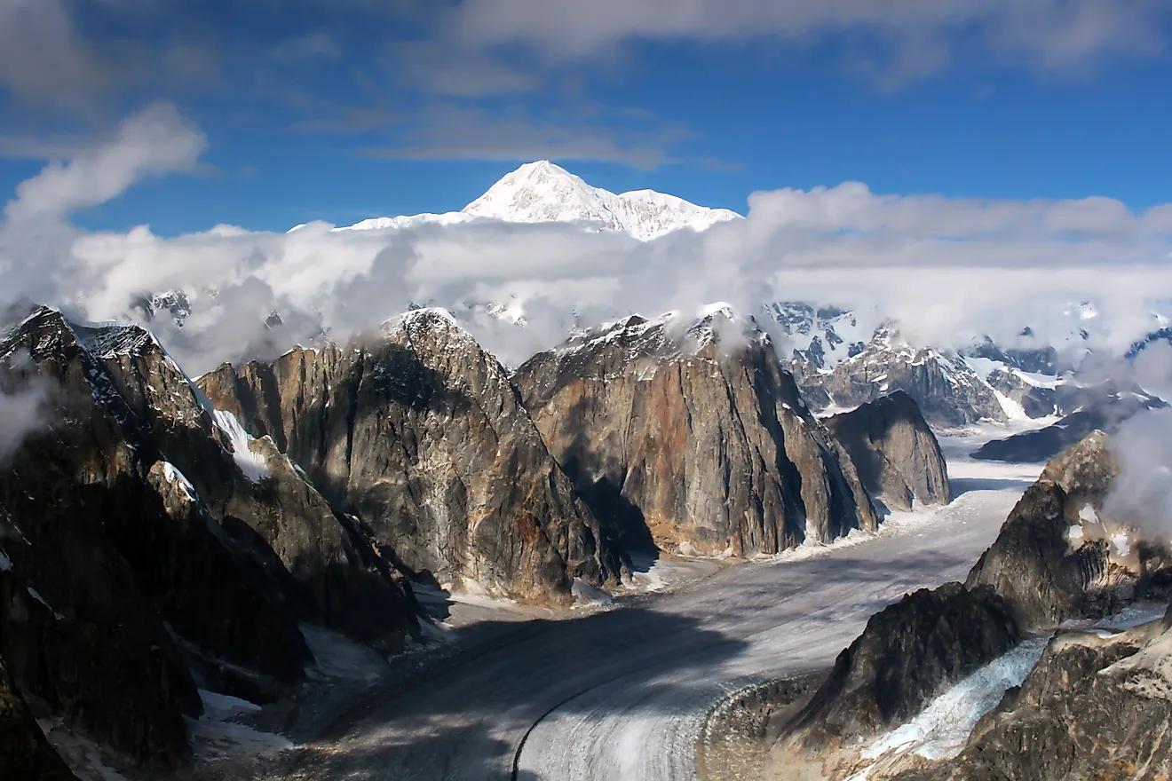
No tour of China's wonders can skip the roof of the world. Mount Everest, known in Tibet as Qomolangma, is the highest mountain on the planet, and after a joint 2020 survey by China and Nepal its official height was nudged up to 8,848.86 meters, about 29,032 feet. The peak is not entirely Chinese. The border between Nepal and the Tibet Autonomous Region runs straight across its summit, so a climber standing on the northern route is standing in China. Every year the mountain draws the boldest mountaineers on Earth to test themselves against its thin air, savage cold, and long odds, and every year it reminds a few of them exactly who is in charge.
One Country, Every Kind of Wonder
Few places pack this much geological range into a single country. Rainbow-striped hills, a river that runs backward on the tide, deserts that erase cities, and the tallest peak on the planet all carry the same passport. Taken together, these fifteen wonders are a reminder that China's scenery works on a scale that is genuinely hard to overstate, and that its greatest sights were shaped not over a weekend, but across hundreds of millions of years.