7 Most Scenic Drives in Minnesota
Minnesota's landscape is great for road trips, whether you like waterfront scenery or forested lanes. The North Shore Scenic Drive traces 154 miles of Superior's shoreline past ancient rock formations and eight state parks, earning it the state's only "All-American Road" designation. But some of the most striking routes run inland, where a two-lane highway through the Chippewa National Forest or a country road winding past many connected waterbodies can feel just as scenic. This list covers seven drives chosen for their unforgettable views.
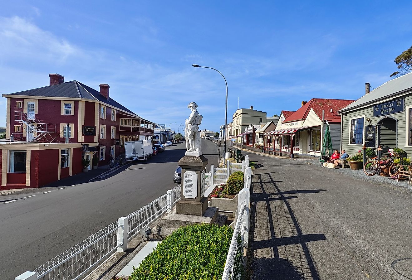
North Shore Scenic Drive

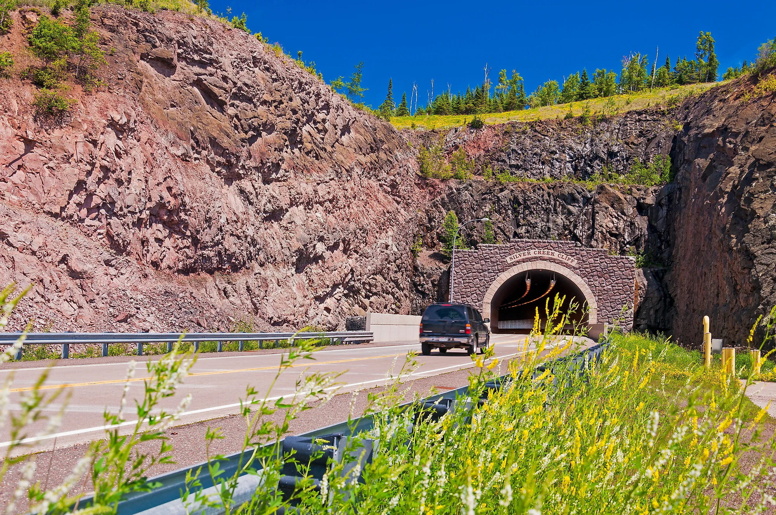
The North Shore Scenic Drive is the only “All-American Road” in Minnesota. The road originates from Canal Park in Duluth and terminates at the international border at Grand Portage, stretching 154 miles along Highway 61. The route parallels the shoreline of Lake Superior, the world's largest freshwater lake by surface area. The drive passes through eight state parks and the Superior National Forest, offering outdoor opportunities year-round. The best time to drive is mid-September to the end of October, when drivers can take in the fall foliage. The byway can be driven in as little as three hours, although it is best to take one to two days to make stops along the way.
The terrain along the drive shifts between ancient rock formations and thousands of acres of forest that rise above the lake. Gooseberry Falls State Park is one of the first major stops along the road. It is directly on Highway 61, making for a quick roadside stop to get out and view Gooseberry Falls. Split Rock Lighthouse is one of Minnesota's most iconic landmarks. Although it is slightly off the road, it is worth taking the detour to see the lighthouse, restored to resemble how it looked in the 1920s.
Gunflint Trail Scenic Byway

The Gunflint Trail Scenic Byway begins in Grand Marais. The road is 57 miles long and takes about two hours to drive one way, ending near Trail’s End Campground and requiring a return to Grand Marais by the same route. The road winds through the Superior National Forest in northeast Minnesota, near the border with Canada. The road passes through dense pine, aspen, and birch forest, broken up only by several wilderness lakes.
The road is accessible year-round, with the scenery and driving conditions changing noticeably from season to season. However, in winter, a lot of snow falls, so it is important to check the weather forecast beforehand or use winter tires. Because the route is so remote and the forest so dense, wildlife sightings from the road are common, including deer, moose, bears, wolves, and a variety of birds.
Paul Bunyan Scenic Byway

The Paul Bunyan Scenic Byway is a 54-mile driving route in Central Minnesota, suitable for year-round driving. It is accessed from Highway 371 and follows paved county roads through the Whitefish Chain area. The route can be completed in as little as an hour and a half, though it is best to allow four to six hours.
The route passes through the Whitefish Chain of Lakes, a group of 13 connected waterbodies. The first lakes encountered on the drive are the Upper and Lower Whitefish Lakes. The lakes are home to a variety of wildlife, which can be spotted from the car, such as loons bobbing on the water, eagles soaring high in the sky, and deer standing along the road. As the drive continues, it passes through pine, birch, and aspen forests. Once on Highway 11, the road passes along the north side of the Crow Wing State Forest, a 14,072-acre forest composed of conifer bogs and wet prairies.
Edge of the Wilderness National Scenic Byway

The route, which is now the Edge of the Wilderness National Scenic Byway, was once used by loggers and voyageurs to pass through the Chippewa National Forest. The route that exists today stretches 47 miles along Highway 38 between Grand Rapids and Effie. The reconstructed roadway makes this a generally smooth drive in every season, although fall is the most visually striking time to be on it. While it is suitable for year-round driving, fall is especially nice for driving when the foliage turns red, bronze, and gold.
The highway heads north through Chippewa National Forest, the first National Forest east of the Mississippi River, which has 1,300 lakes and ponds and 440,000 acres of wetlands.
Historic Bluff Country Scenic Byway

The Historic Bluff Country Scenic Byway follows Highway 16 for 88 miles through the Root River Valley, with a small loop on US-52 and MN-80. For much of the three-hour drive, the byway parallels the Root River, passing wooded bluffs, pastures, and open fields. The road continues to follow the Root River until it empties into the Mississippi River.
Early in the drive, Forestville/Mystery Cave State Park sits just off the highway, marking one of the more accessible stops along the route. It is home to the longest cave in Minnesota, with natural scenery above and below ground. The route is most popular from late spring through fall, but, as with many scenic drives in Minnesota, fall sees the trees adorned with fall colors, attracting many people.
Minnesota River Valley Scenic Byway

The Minnesota River Valley Scenic Byway stretches about 299 miles, and the full route can be driven over several days, depending on how often travelers stop. The byway comprises a series of roads following the Minnesota River from Browns Valley, on the western border of the state, to Belle Plaine, southwest of Minneapolis. The byway passes through hardwood forests, 3.8 billion-year-old granite outcrops, and sprawling prairie grasses.
The route is drivable year-round; some points of interest along the way are only open seasonally. Lac qui Parle State Park is open year-round, allowing travelers to stop or simply follow the byway as it runs parallel along Lac Qui Parle. In the fall, thousands of geese arrive at the lake. Other wildlife encounters include bald eagles perched on trees.
Apple Blossom Drive Scenic Byway

Apple Blossom Drive Scenic Byway winds through rolling farmland and bluff landscape above the Mississippi River, with views of the valley below. The byway winds through several apple orchards, making spring a good time to drive it as apple blossoms are in full bloom, enhancing the views and creating a flowery fragrance in the air. Although in the fall, the foliage is just as scenic, and roadside stands selling apples, cider, Indian corn, and pumpkins are dotted along the road.
At 17 miles long, it is a relatively short drive that can be completed in as little as an hour. The byway travels Highway 29 along the edge of the Mississippi River, passing towns like La Crescent, which claims to be the Apple Capital of Minnesota, as the first orchards planted there in the 1850s grew over the hillside. Drivers of the byway will also pass Great River Bluffs State Park, which is situated high on the bluffs overlooking the Mississippi River. Many overlooks are easily accessed from short walking trails.
Drive Through Minnesota's Landscapes
These roads, which snake across Minnesota’s varied landscape, highlight different natural features. From lakefront drives along Lake Superior to inland routes that cut through forests, river valleys, and open farmland, each scenic drive offers a unique driving experience.
What sets these scenic drives apart is not just the views, but the way the landscape changes steadily from one stretch of road to the next. Shoreline of the Great Lakes and shifting terrain keep the experience fresh from start to finish. Taken together, these seven routes highlight some of the most visually rewarding ways to explore Minnesota by car.