The Deepest Trench In Each Ocean
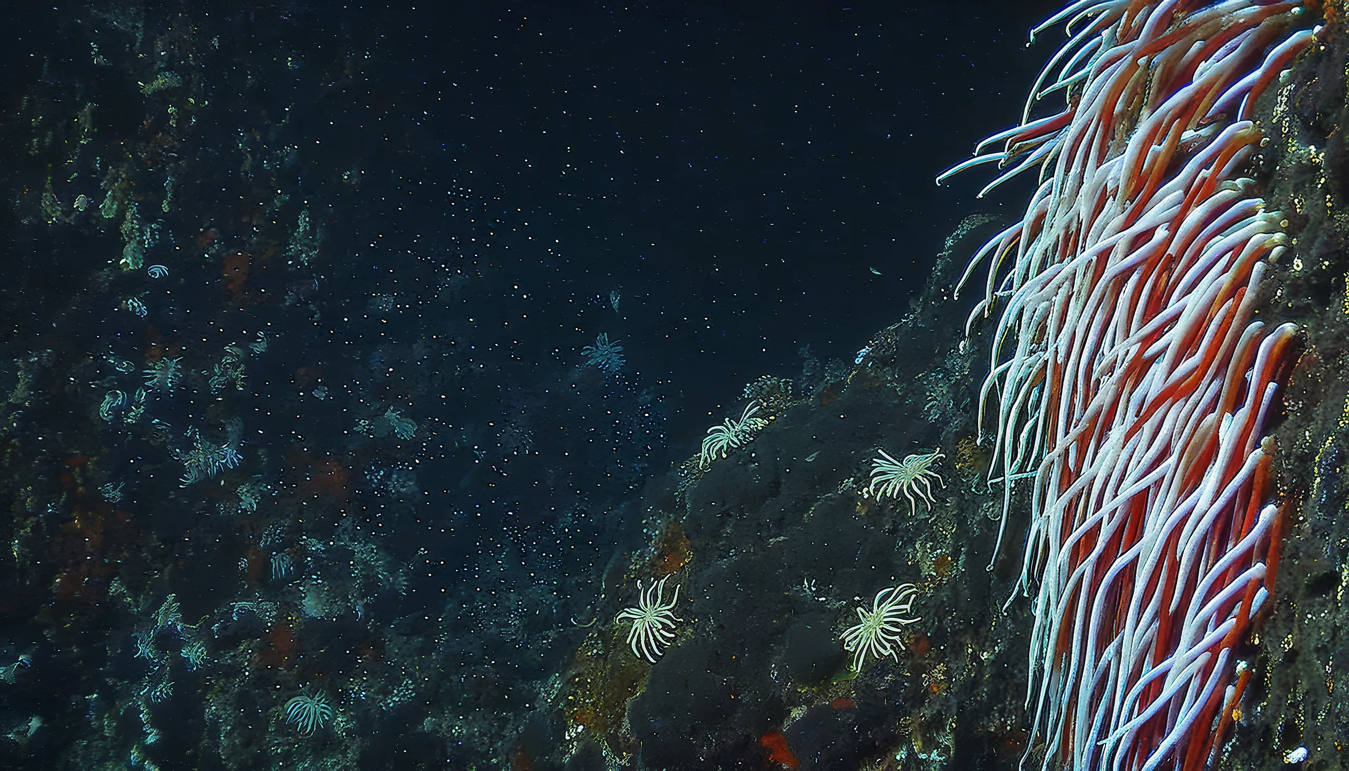
Each of Earth's five oceans hides a place where the seafloor drops farther than almost any human can travel. These remote depths are lightless, near-freezing, and subjected to pressures powerful enough to destroy an ordinary submarine. Some were measured accurately only within the last several years, and a few have been visited by just one person. The deepest trenches vary widely in depth, with an Arctic basin more than three miles below the surface and Challenger Deep nearly seven miles down in the Pacific. Four lie within enormous ocean trenches, while the Arctic's lowest point formed through a different geological process. Found in waters near US territories and off the edge of Antarctica, they reveal a largely unseen landscape of steep slopes, fractured crust, and profound extremes.
The Pacific Ocean: Challenger Deep in the Mariana Trench

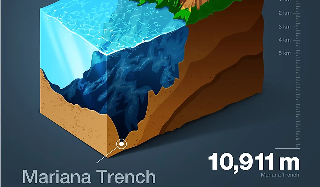
The Pacific Ocean claims the greatest depth of them all. Challenger Deep, a narrow depression within the much larger Mariana Trench, reaches approximately 35,876 feet below sea level. The trench formed where the Pacific Plate bends and sinks beneath the smaller Mariana Plate. As the older, denser Pacific crust descends into Earth's mantle, it pulls the ocean floor downward and creates a curving trench more than 1,500 miles long. Challenger Deep occupies the trench's southern end and contains several deep basins separated by underwater ridges.
Its scale is difficult to picture from the surface. If Mount Everest were placed at the bottom, its summit would remain submerged beneath more than a mile of water. Pressure at the floor is more than 1,000 times the atmospheric pressure at sea level. Anyone attempting to reach it needs a specially designed vessel capable of surviving forces that would crush a conventional submarine.
Swiss oceanographer Jacques Piccard and US Navy Lieutenant Don Walsh became the first people to reach Challenger Deep in 1960 aboard the bathyscaphe Trieste. Filmmaker James Cameron returned alone in 2012, and the Five Deeps Expedition completed additional crewed dives in 2019. Although Challenger Deep itself is southwest of Guam, other sections of the Mariana Trench and surrounding underwater features receive federal protection within the Mariana Trench Marine National Monument.
The Atlantic Ocean: Brownson Deep in the Puerto Rico Trench

Just north of the Caribbean, the comparatively shallow waters around Puerto Rico give way to an enormous drop in the seafloor. The Puerto Rico Trench extends for roughly 500 miles along the boundary between the Caribbean Sea and the Atlantic Ocean. At Brownson Deep, its floor descends approximately 27,480 feet, nearly five times deeper than the Grand Canyon.
The name of the Atlantic's lowest point has caused considerable confusion. Brownson Deep generally refers to the broad, flat-bottomed basin at the trench's western end, while Milwaukee Deep has historically been used for its deepest area. Because there is no clear physical division between them, sources sometimes use the two names interchangeably.
No person reached that bottom until December 2018. American explorer Victor Vescovo descended in the two-person submersible Limiting Factor, becoming the first person to visit the deepest known point in the Atlantic. The dive reached a world hidden more than twice as far below sea level as the wreck of the Titanic.
The trench exists because the North American and Caribbean tectonic plates meet along a complex boundary. Their movement has fractured and warped the seafloor rather than producing one simple, uniform collision zone. That same active geology makes the surrounding region vulnerable to earthquakes and tsunamis, adding a more immediate danger to the trench's extraordinary depth.
The Indian Ocean: The Java Trench

For years, scientists could not agree on where the Indian Ocean reached its greatest depth. Some measurements favored the Java Trench south of Indonesia, while others pointed to the Diamantina Fracture Zone off Western Australia. The Five Deeps Expedition surveyed both regions in 2019 and settled the question. An unnamed point in the Java Trench descends approximately 23,579 feet, around 550 feet deeper than the lowest measured part of the Diamantina Fracture Zone.
Also known as the Sunda Trench, the Java Trench follows the southern edge of Indonesia for thousands of miles. It formed as the Indo-Australian Plate moved beneath the Sunda Plate, bending the seafloor downward. This same vast plate boundary continues northwest toward Sumatra, where a sudden rupture triggered the devastating 2004 Indian Ocean earthquake and tsunami.
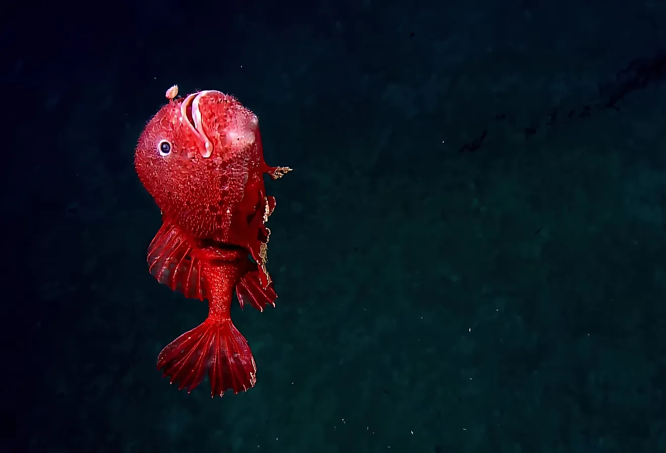
Vescovo became the first person to reach the Indian Ocean's lowest point in April 2019. During the dive, cameras recorded a type of snailfish and other animals living in complete darkness under immense pressure. Their presence showed that even this extreme environment was not empty.
Unlike Challenger Deep or Brownson Deep, the location has not received a widely accepted individual name. It remains identified primarily by its coordinates and its position within the Java Trench, a reminder that some of Earth's most extreme places are still only beginning to be mapped and described.
The Southern Ocean: Factorian Deep in the South Sandwich Trench

The boundary between oceans becomes especially important when identifying the Southern Ocean's deepest point. The South Sandwich Trench curves past a chain of volcanic islands in the remote waters between South America and Antarctica. Its deepest section lies north of 60 degrees south latitude and is therefore counted as part of the Atlantic Ocean. South of that boundary, Factorian Deep reaches approximately 24,383 feet.
This distinction was difficult to confirm before researchers mapped the entire trench with modern multibeam sonar during the Five Deeps Expedition. The survey showed that Factorian Deep was slightly deeper than earlier estimates suggested. It also established a precise location for a point hidden beneath some of the coldest and roughest ocean waters on Earth.
The South Sandwich Trench was created by subduction, as the South American Plate is forced beneath the smaller South Sandwich Plate. Within this system, Factorian Deep sits in a rare hadal zone filled with some of the coldest seawater on Earth, hovering near freezing. Where temperatures do dip below 0°C, the high salinity keeps the water liquid, preventing it from freezing even at a point that would solidify fresh water.
In February 2019, Vescovo reached the bottom, completing the first crewed descent into the Southern Ocean's deepest point. The location was named after his submersible, Limiting Factor, following the tradition of naming ocean depths after the vessels that explored them.
The Arctic Ocean: Molloy Deep in the Fram Strait

The Arctic Ocean's lowest point differs from the other four because it does not lie within a long subduction trench. Molloy Deep, also called the Molloy Hole, is a steep-sided depression in the Fram Strait between Greenland and Norway's Svalbard archipelago. Its floor reaches approximately 18,209 feet, making it the shallowest of the five ocean deeps but still more than three miles below the surface.
Molloy Deep formed in a tectonically active area where sections of the seafloor are spreading apart. It sits near the meeting point of the Molloy Ridge and Molloy Fracture Zone, where movement in Earth's crust helped create an isolated basin with a relatively flat bottom. The Fram Strait surrounding it is also the only deep passage between the Arctic and Atlantic oceans, allowing water to move between the two.
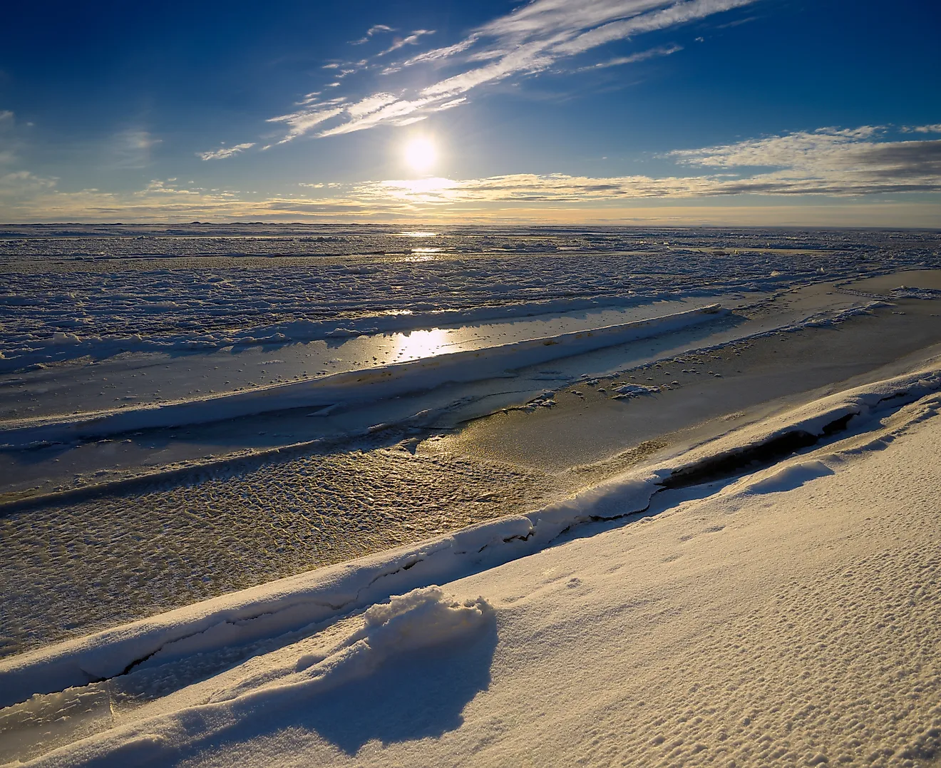
Vescovo made the first crewed descent to Molloy Deep in August 2019, completing the final stage of the Five Deeps Expedition. His submersible recorded a depth of 18,209 feet through direct pressure measurements, replacing earlier estimates that placed the bottom somewhat deeper. Reaching it required navigating frigid seas near the edge of the Arctic ice pack, where severe weather and the region's remoteness could make any emergency especially dangerous.
Why Ocean Depths Are So Difficult to Measure
A depth measurement may appear exact, but calculating it requires more than sending a sound wave toward the seafloor. Sonar systems determine depth by timing how long sound takes to travel down and return. Because sound moves at different speeds depending on the water's temperature, pressure, and salinity, researchers must correct for conditions throughout the water column.
Tides, waves, instrument calibration, and the movement of a survey ship can also affect the result. Crewed submersibles use pressure sensors to calculate depth during a dive, but those readings require their own corrections for water density and atmospheric pressure. These variables explain why reputable expeditions can report slightly different figures for the same location.
Another problem is the limited amount of high-resolution mapping available. A trench may contain several depressions separated by ridges, and an older survey line can miss the lowest one entirely. Modern expeditions cross an area repeatedly with multibeam sonar to build a detailed three-dimensional map. Until that work reaches more of the seafloor, scientists cannot completely rule out finding deeper points within some ocean trenches.
The Deepest Edges of the Known World
Scientists now have reliable locations for the lowest points in all five oceans, but identifying them isn't the same as fully understanding them. Only a handful of people have seen these environments firsthand, and even the most detailed expeditions can examine only a small portion of the seafloor during each dive.
Whether in the Mariana Trench near US territory or the isolated Molloy Deep in the Arctic, these places show that Earth's most extreme landscapes are hidden beneath the water. Better sonar and stronger submersibles will reveal more of them, but the ocean's deepest reaches remain among the planet's last true frontiers.