Where Do Most Earthquakes Occur?
Without warning, earthquakes can strike at any location on Earth and at any point in time. However, some parts of the Earth are more prone to earthquakes than others. Three zones in particular are responsible for the vast majority of the world’s earthquakes: The Ring of Fire, The Alpide Belt, and the Mid-Atlantic Ridge. These earthquake zones are a collection of plates colliding into and sliding under one another. Read on to learn more about these three danger zones and better understand why they happen.
Table Of Contents
| Section | Summary |
|---|---|
|
The impact of tectonic plate movement on seismic activity. |
|
|
World's largest earthquake belt, location, major earthquakes caused by this zone. |
|
|
Location of the Alpide belt, landforms created, and earthquakes caused. |
|
|
Mid-Atlantic Ridge's location, islands created by ridge, earthquake activity. |
Plate Edges and Fault Lines

Earthquakes most commonly occur in the areas near where oceanic or continental plates meet. Earth’s outermost layer, the crust, consists of several interconnected plates. These plates form the bottom of oceans and the land’s surface. The plates are susceptible to movements triggered in the Earth’s mantle layer below the Earth’s crust. Such movements might result in a plate sliding over another or moving away from each other and then colliding with force. Such movements of the Earth’s crust result in earthquakes.
Earthquakes also occur along fault lines in the Earth’s crust. Faults are cracks in the continental or oceanic plates triggered by plate tectonics. The crust is highly unstable near fault lines, and disturbances along the fault lines might trigger massive earthquakes.
The Ring of Fire

Map of the Pacific Ring of Fire with the main volcanoes
The Pacific Ring of Fire, also known as the Circum-Pacific seismic belt, spans approximately 24,900 miles (40,000 kilometers), making it the largest earthquake belt in the world. It is responsible for approximately 81% of the Earth’s largest earthquakes. The Ring of Fire starts in Chile and extends northwards along the Pacific coast of South America, Central America, and North America until the southern coast of Alaska. It then extends West, encompassing the Aleutian Islands in the Pacific Ocean. Japan, the Philippine archipelago, New Guinea, and the Southwest Pacific islands, before ending in New Zealand.
The Ring of Fire has been responsible for some of the world’s most catastrophic earthquakes, such as the 9.5 magnitude earthquake in Valdivia, Chile, in 1960 and the 9.2 magnitude earthquake in Alaska in 1964. The Chile Earthquake of 2010, with a magnitude of 8.8, and the Japan earthquake of 2011, with a magnitude of 9.0 also took place on the Ring of Fire.

Slips and ruptures between plates cause earthquakes in these zones, resulting in young, growing mountains, volcanoes, and deep ocean trenches. There are 452 volcanoes along the Ring of Fire. Some of the most notable volcanoes and Mountains that are on the Ring of Fire are the South American Andes Mountains, Mount Fuji, Mount Saint Hellens in Washington, and Mount Ruapehu in New Zealand.
The Alpide Belt

17% of the world’s earthquakes occur in the Alpide Belt. The belt is approximately 9,300 miles (15,000 kilometers) long. It extends from the Indonesian islands of Java and Sumatra in Southeast Asia across the Himalayan region of the Indian subcontinent through Central Asia into the Mediterranean Sea, and out into the Atlantic Ocean. The Indian, Arabian, and African plates often collide with the Eurasian plate in this zone, causing a great amount of activity observed along the belt. Some of the most notable mountains along the belt include the Alps, the Atlas Mountains, the Caucasus Mountains, Karakorum, Hindu Kush, the Elburz Mountains, and the Himalayas.
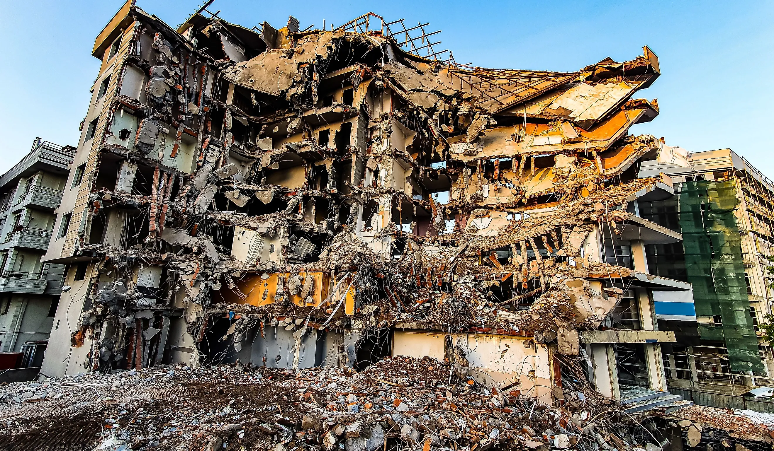
Similar to the Ring of Fire, many catastrophic earthquakes have occurred along the Alpide Belt as well. Some of the most severe include the 7.6 magnitude shock in Pakistan in 2005, killing more than 80,000 people, and the 9.1 magnitude Indonesian earthquake in 2004, which resulted in a tsunami killing over 230,000. In 2023, a 7.8 earthquake on the Alpide Belt struck Turkey and Syria, killing over 55,000 people.
The Mid-Atlantic Ridge

The Mid-Atlantic Ridge stretches approximately 10,000 miles (16,000 kilometers) through the Atlantic Ocean. It has a curved path that starts in the north, in the Arctic Ocean, and extends all the way to the Southern tip of Africa. The mountains that are part of this ridge sometimes rise above sea level, forming islands such as St. Helena, The Azores, Ascension, and Tristan da Cunha. The plates that form the Mid-Atlantic Ridge are slowly diverging, causing magma to well up from below the Earth’s crust and form new landforms. The plates are spreading apart at a rate of about 0.5 to 4 inches (1 to 10 centimeters) per year. This plate activity results in occasional volcanic and earthquake activity.
Since most of the Atlantic Ridge is in the middle of the Atlantic Ocean far from human developments and communities, there is not a lot of reported seismic damage from the ridge. However, Iceland is positioned on top of the ridge, resulting in various earthquakes of up to 6.9 in magnitude. On May 29th, 2008, two earthquakes of 5.9 and 5.8 in magnitude struck Iceland. There were no casualties, although some people suffered injuries and several sheep were killed.
Final Thoughts
While it is impossible to predict when the next earthquake will strike, we can predict the areas where they are most likely to hit in the future. They frequently occur where the Earth’s tectonic plates converge or diverge. Although earthquakes can fall outside of these zones, such as the 1886 Earthquake in Charleston, South Carolina, or the 1811 to 1812 earthquakes in Madrid, Missouri, the most frequently recorded earthquakes take place in the Ring of Fire, the Alpide Belt, and the Mid-Atlantic Ridge.
The Ring of Fire, encircling the Pacific Ocean, has a reputation for hosting some of the most intense earthquakes and volcanic eruptions in the world. Similarly, the Alpide Belt, spanning from Asia to Europe, experiences significant seismic events due to the collision of tectonic plates. Though less renowned, the Mid-Atlantic Ridge, lying beneath the Atlantic Ocean, plays a role in shaping the ocean floor and occasionally generates earthquakes. Due to our understanding of these three zones, governments and individuals alike can better prepare for future earthquakes in order to protect communities and prevent unnecessary casualties.