The National Parks With A Town Inside The Boundary
Thurmond, West Virginia has a mayor, a recorder, a ZIP code, an Amtrak stop and five residents. It was incorporated in 1903, it covers less than a tenth of a square mile, and the National Park Service owns most of it, because the entire town sits inside New River Gorge National Park and Preserve. That combination of functioning municipality and federal park land is rarer than it sounds and it exists in a handful of places across the country, produced almost always by the same thing: people were already living there when the boundary was drawn around them. Here are the parks with a genuine town inside, from a settlement of five to one with no road at all.
These are the cases a general list of park communities tends to miss, and several of them are the strangest addresses in the country.
Stehekin, Washington

Stehekin sits at the head of Lake Chelan inside the Lake Chelan National Recreation Area, part of the North Cascades National Park Service Complex, and it has 85 year-round residents and no road connecting it to the outside world.
Getting there means a passenger ferry up fifty miles of lake from the town of Chelan, a floatplane, or walking in over the Cascades. In summer the Park Service runs an off-road bus that picks hikers up off the Pacific Crest Trail and carries them into town, which is a public transit service with no road network attached to it.
The name comes from a Salishan word meaning the way through, which is a reasonable joke given the access situation. The community has a one-room schoolhouse, and that building, the Buckner Homestead and the Purple Point ranger station are all on the National Register of Historic Places.
McCarthy And Kennecott, Alaska
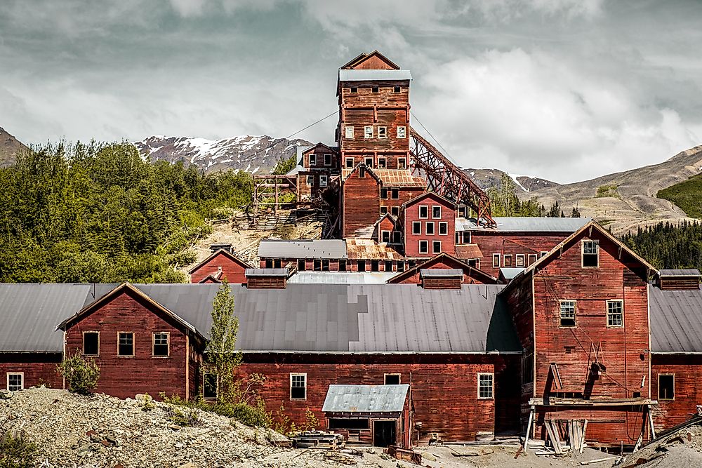
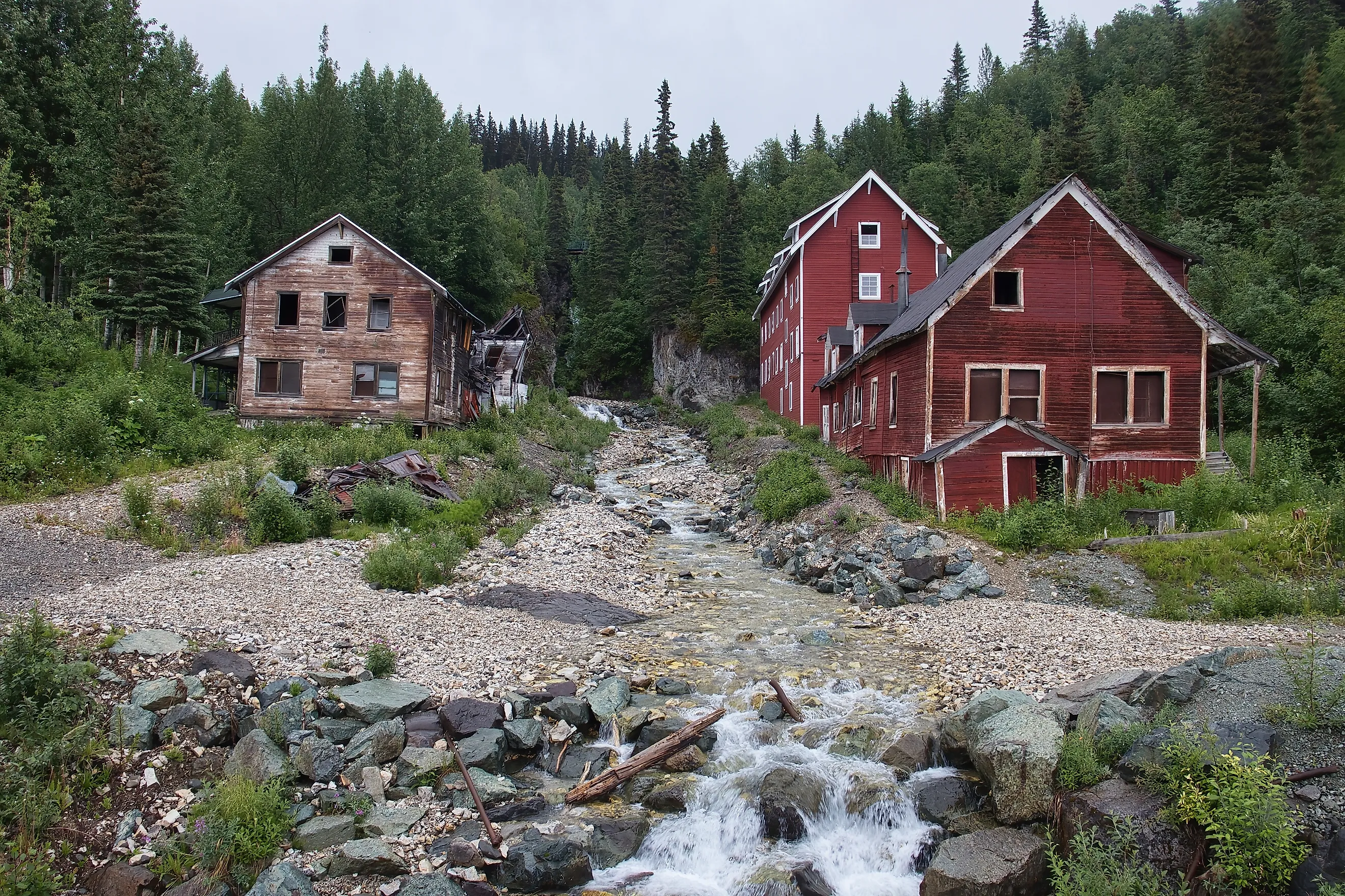
These are two settlements four and a half miles apart, deep inside the largest national park in the United States, at the end of a 62-mile dirt road from Chitina. McCarthy has roughly 50 year-round residents, a number that swells to several hundred in summer as guides and seasonal workers arrive. Kennecott, the copper mill town abandoned in 1938, is now a remarkably intact National Historic Landmark and the jumping-off point for the Root Glacier.
Wrangell-St. Elias covers 13 million acres, about four percent of Alaska, and these two clusters of buildings are effectively the entire built environment in the southern half of it.
Thurmond, West Virginia
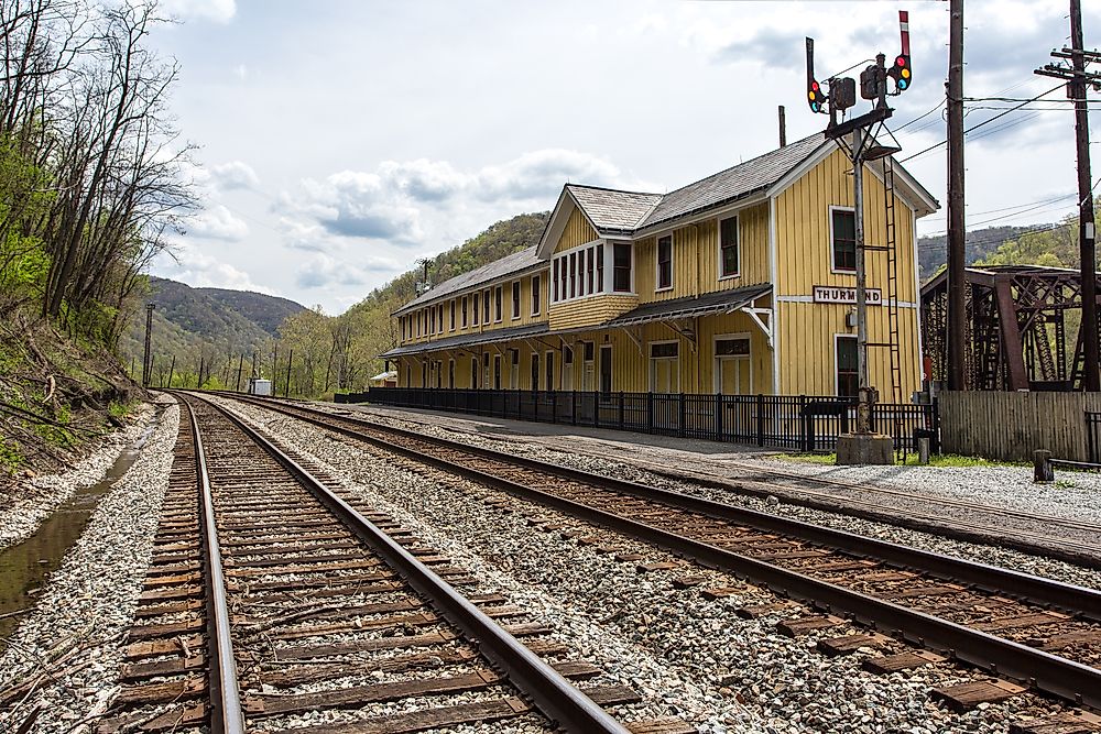
This is the most extreme version of the arrangement anywhere in the Lower 48. Thurmond recorded a population of five in the 2020 census, occupies 0.093 square miles, and still elects both a mayor and a recorder.
It was not always like that. During the New River coalfield boom, Thurmond was one of the wealthiest towns in West Virginia, a Chesapeake and Ohio Railway hub with a commercial main street that ran along the tracks rather than a road. The coal went, the railway traffic went, and the population followed.
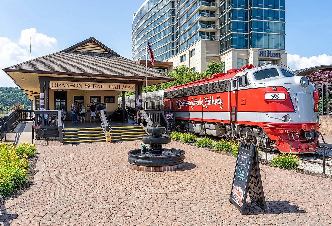
The whole town is now a National Register historic district, most of the property belongs to the Park Service, and the restored 1904 depot serves as a seasonal visitor center. It remains an Amtrak flag stop, which means a scheduled passenger train will halt at a town of five people if somebody asks it to.
Grand Canyon Village, Arizona

This is the largest genuinely residential community inside a national park in the Lower 48, and the one most visitors walk straight through without registering that people live there. Grand Canyon Village on the South Rim has housing, a school, a clinic, a post office and a grocery store, along with the hotels and the historic 1909 railway depot that most visitors see. The permanent population is made up of Park Service employees, concession staff and their families.
It is a company town in the oldest sense, with the company being a mixture of the federal government and the park concessioner, and it exists because somebody has to run a park that receives millions of visitors a year.
Supai, Arizona

Supai belongs here with a precise caveat attached, because the geography is genuinely unusual. The village sits at the bottom of Havasu Canyon on the Havasupai Reservation, which is bordered by Grand Canyon National Park rather than administered as any part of it.
The village is eight miles from the nearest road, reachable only on foot, by horse or by helicopter, and it is the last place in the United States where mail is still carried in and out by mule train. A few hundred people live there permanently.
It is the most isolated community in the Lower 48 by most measures, and the reason it appears on lists like this is that everybody reaches it through canyon country the park otherwise surrounds.
The Cuyahoga Valley Villages, Ohio

The opposite case, and the one that breaks the usual mental image of a park entirely. Cuyahoga Valley National Park runs between Cleveland and Akron in Ohio, and it contains several inhabited villages rather than one.
Peninsula, Boston, Everett and the former mill settlement of Jaite all sit within or against the boundary, along with working farms, private homes, a scenic railroad and a functioning road network. The park was assembled in the 1970s out of an already-settled landscape rather than carved from wilderness.
The result is the least wilderness-shaped national park in the system, and one where the visitor experience routinely involves driving through somebody's village.
Moose And Kelly, Wyoming

Grand Teton contains two small communities and a good deal of private land, all of it a direct legacy of how the park was assembled. Moose holds the park headquarters, a post office and a cluster of residences. Kelly, further east along the Gros Ventre, is a genuine little settlement with a mix of park housing and private property, notable locally for a stretch of yurts among the cabins.
The inholdings exist because Grand Teton was expanded in stages against considerable local resistance, with John D. Rockefeller Jr. quietly buying up ranchland through a front company in the 1920s and 1930s to donate it. Not everybody sold, and their descendants are still there.
Why These Places Exist

Almost every town on this list predates the park around it, and the mechanism is the inholding, meaning private property that survived the drawing of a federal boundary. When Congress creates a park it does not automatically seize the land inside it. Private parcels remain private unless the owner sells, and many owners did not. Over time the Park Service buys some of them out, which is why the populations of these places generally shrink rather than grow, and why Thurmond has five residents rather than the hundreds it once held.
The second category is operational rather than historical. Grand Canyon Village and the Moose headquarters area exist because a park needs staff, and staff in a place that remote need somewhere to live, a school for their children and somewhere to buy food.
What Living There Is Actually Like
The common threads across all of these places are constraints most Americans never have to think about. Building is heavily restricted, because new construction inside a park boundary runs into federal review that ordinary zoning does not involve. Services are thin, with one-room schools, seasonal medical cover and post offices that double as the community center. And property changes hands rarely, since the pool of buyers for a house inside a national park with no road is not large.
In exchange the residents have something almost nobody else does, which is a permanent address in a place several million people travel across the country to see for an afternoon.
The Short List

For the hardest to reach, it is Stehekin, with 85 residents and no road. For the smallest, it is Thurmond at five people with a mayor. For the most remote, it is McCarthy and Kennecott at the end of a 62-mile dirt track inside a 13-million-acre park.
For the largest, it is Grand Canyon Village, which functions as a small town. And for the strangest, it is Cuyahoga Valley, a national park with villages, farms and commuter traffic inside it that most visitors never realize they are driving through.