Maps of Idaho

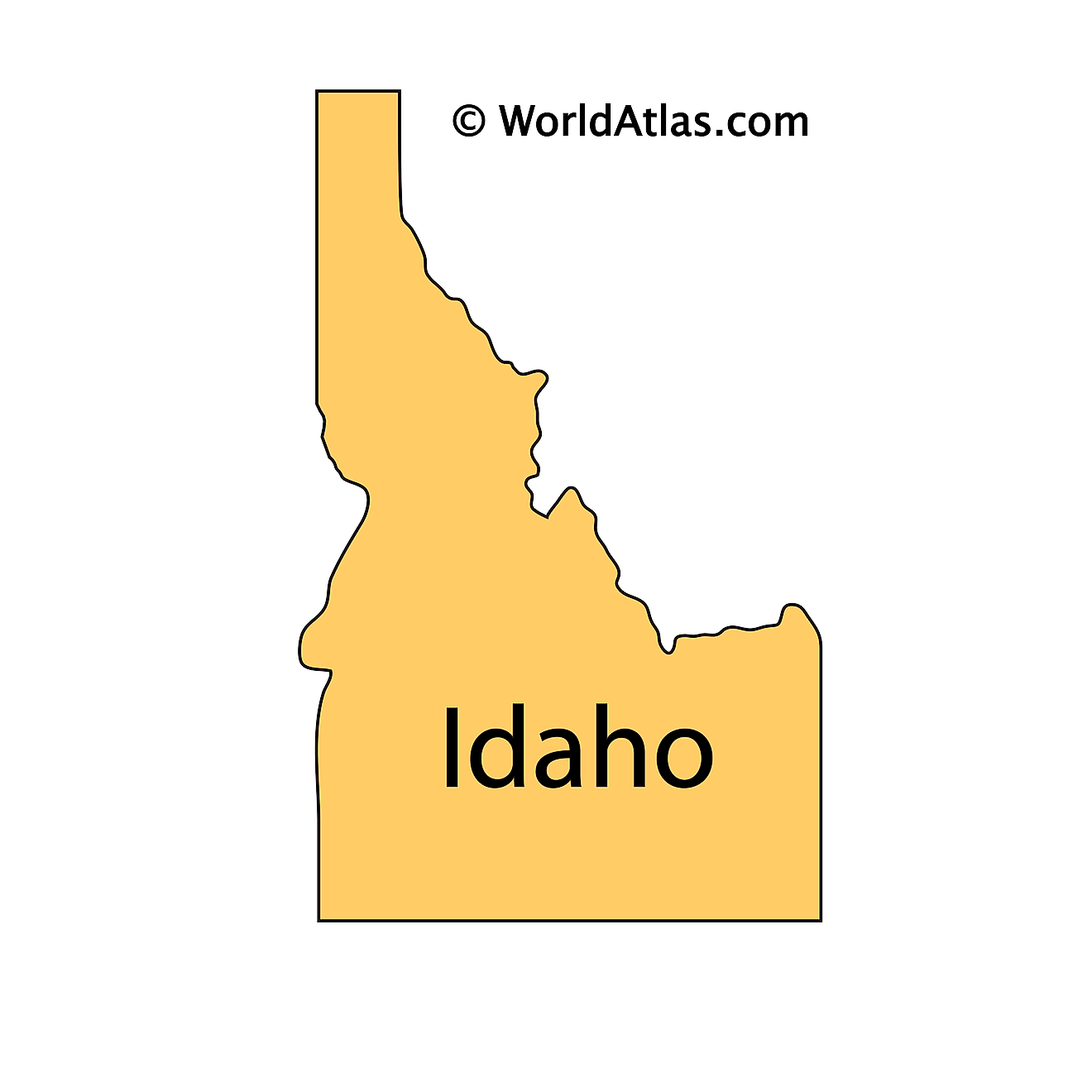
Idaho, also known as “The Gem State”, is a state located in the Western United States. It shares its northern border with Canada, its eastern border with Montana and Wyoming, its southern border with Utah and Nevada, and its western border with Washington and Oregon.
Boise, located in the southwest of Idaho, is both the state capital and most populous city, home to a little over 235,000 residents.
Native American tribes such as the Nez Perce, Kootenai, Coeur d’Alene, and Bannock have been living on the land that is now Idaho for thousands of years. Lewis and Clark visited the land for the first time in 1805 during their expedition, and the territory would later become the 43rd state in 1890.
Area
Idaho has a total area of 83,569 square miles (216,443 square kilometers), making it the 14th largest state in the US. Of this area, only approximately 926 square miles (2,398 square kilometers) are water. Compared to other countries, Idaho is roughly half the size of Iraq and five times bigger than Switzerland. Regarding other US states, it is approximately the same size as Kansas and twice the size of Tennessee.
Bodies of Water
Idaho has approximately 93,000 miles of rivers and streams. The longest is the Snake River, which runs 779 miles (1,254 kilometers) through Idaho, starting in the east at the Wyoming border and heading west through the Washington border. The Bear River, the second longest in the region, flows through the Bear Lake, Caribou, and Franklin counties in southeast Idaho. Stretching approximately 328 miles (528 kilometers), it forms an important watershed for the state.
Of the state’s 2,000 lakes, Pend Oreille, in the northern panhandle of Idaho, is the largest and deepest lake, spanning 148 Square Miles (383 square kilometers) and has a known depth of 1,140 feet (347 meters).
Geographical Regions
Idaho consists of three primary geographical regions: The Rocky Mountains region, the Columbia Plateau, and the Basin and Range Province.
Rocky Mountains
The Rocky Mountains in Idaho compose the northern and central parts of the state. High peaks, deep, river-carved canyons, alpine lakes, and glacial trenches scatter through this region. The state’s highest point, Borah Peak, lies in this section, with an altitude of 12,662 feet (3,859 meters), as well as the deepest gorge in the country, Hells Canyon.
Columbia Plateau
Extending across South Idaho is the Columbia Plateau, formed up to 16 million years ago by flows of basalt. The majority of the land is flat, with some gently rolling hills and an occasional steep river canyon. The Camas Prairie lies to the east, with the foothills of the Cascade Mountains situated to the west.
Basin and Range Province
The Basin and Range Province lies in Idaho’s southeast, featuring grassy plateaus, flat basins, valleys, and a few high ridges. A part of the Bear River basin, known for its watershed, is located here. Although the climate is generally dry, the area around the basin is notably more fertile.
Counties Map
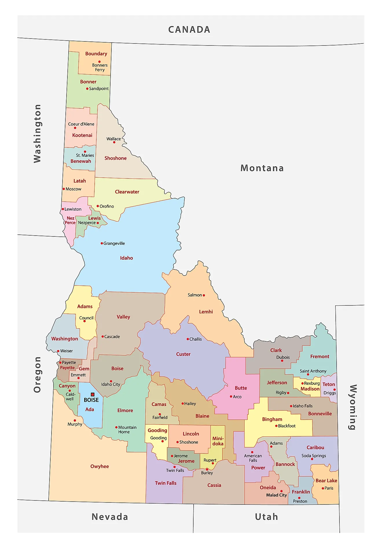
The State of Idaho is divided into 44 counties. In alphabetical order, these counties are: Ada, Adams, Bannock, Bear Lake, Benewah, Bingham, Blaine, Boise, Bonner, Bonneville, Boundary, Butte, Camas, Canyon, Caribou, Cassia, Clark, Clearwater, Custer, Elmore, Franklin, Fremont, Gem, Gooding, Idaho County, Jefferson, Jerome, Kootenai, Latah, Lemhi, Lewis, Lincoln, Madison, Minidoka, Nez Perce, Oneida, Owyhee, Payette, Power, Shoshone, Teton, Twin Falls, Valley, and Washington.
With an area of 216,443 sq. km, Idaho is the 14th largest and the 12th least populous state in the USA. Located in the southwestern part of the state along the Boise River is Boise – the capital, the largest, and the most populous city in Idaho. The city hosts a large number of manufacturing facilities (agriculture, trade, lumbering, and electronics), and the headquarters of several US companies.
Where is Idaho?
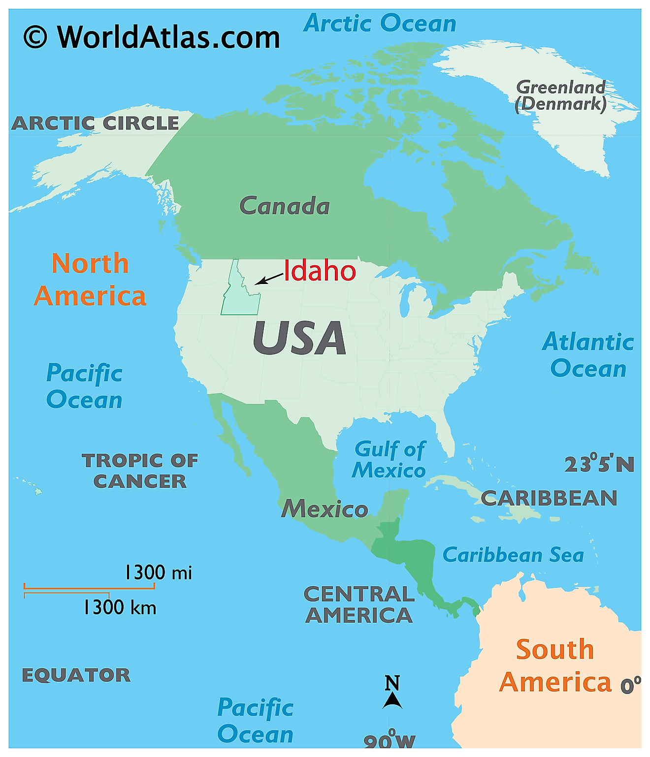
The State of Idaho is located in the Pacific Northwest region of the United States. The landlocked state of Idaho is bordered by the states of Montana in the east and northeast; by Wyoming in the east; by Nevada and Utah in the south; and by Washington and Oregon in the west. It also shares its border with the Canadian province of British Columbia in the north.
Regional Maps: Map of North America
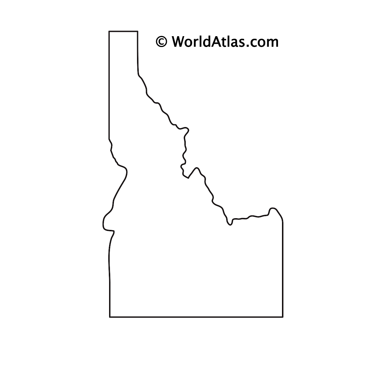
Outline Map of Idaho
Key Facts
| Legal Name | State of Idaho |
|---|---|
| ISO 3166 Code | US-ID |
| Capital City | Boise |
| Largest City |
Boise City (469,568) |
This page was last updated on August 15, 2024
