Maps of Gibraltar

Covering an area of only 6.7 sq. km, the British Overseas Territory of Gibraltar is located at the southern edge of the Iberian Peninsula in southwestern Europe. Previously a part of Spain, the British gained control of this strategic plot of land in 1704 and have held on to it ever since. The territory consists mostly of military installations that are used by the British including a naval dockyard and airforce base that doubles as a civilian airport. The only other nation that borders Gibraltar is of course Spain. That being said, Gibraltar is so close to North Africa that you can physically see Morocco from across the water with the naked eye.
The Rock of Gibraltar, the most significant landmark of the region, has been marked on the map above with an upright yellow triangle. This spectacular rock monolith rises to an elevation of 1396ft (426m) and is also the territory’s highest point
The Europa Point Lighthouse is another distinguishing landmark of Gibraltar. Located on the southernmost tip of the territory, the lighthouse serves as both a functional tool to help guide passing ships during the night as well as a cultural monument. The surrounding land is close to the sea level and consists of a few sandy beaches. There are no rivers in Gibraltar. The territory’s lowest point is at the Mediterranean Sea (0m).
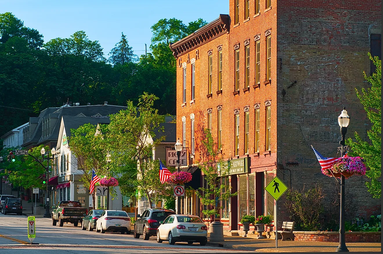
The city is a beautiful of both British and Spanish culture. Much of the city consists of timeless Spanish architecture whilst sporting plenty of English pubs and restaurants. The blend of both Northern and Southern European ways has helped make Gibraltar one of the most unique and special places on Earth.
Political Map of Gibraltar

Being an overseas territory of the United Kingdom, Gibraltar has no major administrative divisions. However, it is divided into a total of 7 Major Residential Areas. In alphabetical order, these Major Residential Areas are East Side, North District, Reclamation Areas, Sandpits Area, South District, Town Area, and Upper Town.
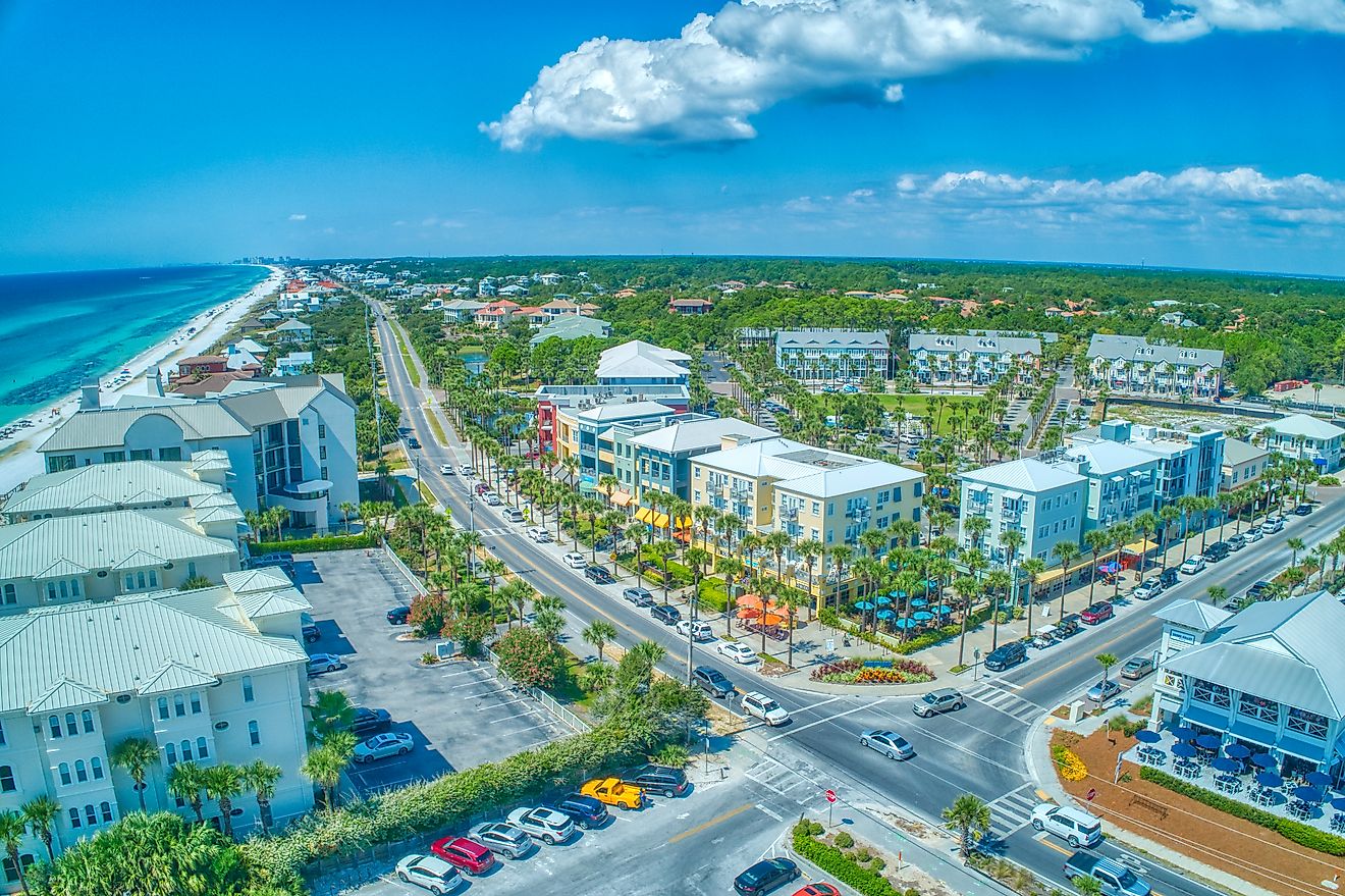
Gibraltar serves as an important airbase and an international port, as well as a major tourist attraction. More than thousands of tourists visit each year to tour "The Rock," and to enjoy the beaches and wonderful Mediterranean weather. At the foot of “The Rock” is the densely populated city area, which is home to more than 32,000 people.
Where is Gibraltar?

The British Overseas Territory of Gibraltar is located at the southern edge of the Iberian Peninsula in southwestern Europe. It is geographically positioned both in the Northern and Western hemispheres of the Earth. The territory overlooks the Strait of Gibraltar, which connects the Mediterranean Sea and the North Atlantic Ocean. Gibraltar is bordered by the country of Spain in the north.
Gibraltar Bordering Countries: Spain.
Regional Maps: Map of
Outline Map of Gibraltar

The above blank map represents Gibraltar - a British Overseas Territory, located at the southern edge of the Iberian Peninsula in southwestern Europe. The above map can be downloaded, printed and used for geography education purposes like map-pointing and coloring activities.

The above outline map represents Gibraltar - a British Overseas Territory, located at the southern edge of the Iberian Peninsula in southwestern Europe. Gibraltar is colloquially known as The Rock (or, Gib).
Key Facts
| Legal Name | Gibraltar |
|---|---|
| Flag |
|
| Capital City | Gibraltar |
| 36 08 N, 5 21 W | |
| Total Area | 6.00 km2 |
| Land Area | 6.00 km2 |
| Water Area | N/A |
| Population | 33,701 |
| Currency | Gibraltar pounds (GIP) |
This page was last updated on December 19, 2023