The Peninsular Divisions of Europe
The continent of Europe covers a total area of 3.93 million square miles and has a population of more than 741.44 million people. Europe can also be considered a subcontinent of the Eurasian landmass, and can be categorized into several divisions based on a number of factors, including: culture, politics, economics, and geography. Geographically, a region can be divided by landform type, including: mountains, savannas, valleys, deserts, river basins, and peninsulas. This article highlights the 5 peninsular regions of Europe: Balkan, Iberian, Apennine, Scandinavian, and Fennoscandian.
5. Balkan Peninsula
The Balkan Peninsula is located in southeastern Europe, with coastlines along the Black Sea in the east, the Ionian Sea in the southwest, the Aegean Sea in the south, and the Adriatic Sea in the northwest. The geographic region includes a number of countries, although some of its boundaries are currently under dispute. However, the following nations are generally accepted as part of the Balkan Peninsula: Bulgaria, Macedonia, Greece, Kosovo, Italy, Croatia, Bosnia and Herzegovina, Albania, Montenegro, Turkey, Slovenia, Romania, and Serbia. Over time, the term “Balkan Peninsula” has taken on a more political than geographic meaning. This political association began after World War I, when Yugoslavia was created.
The Balkan Peninsula has a diverse landscape with numerous plant and animal species, although a large percentage of the area is covered in mountain ranges. The highest peak is Musala Mountain (9,596 feet above sea level), which is located in the Rila Mountain range of Bulgaria. Most of the geographic region experienced significant deforestation throughout history, although some forests still remain. In the areas that were previously forests, brush-type plants have now taken the place of trees.
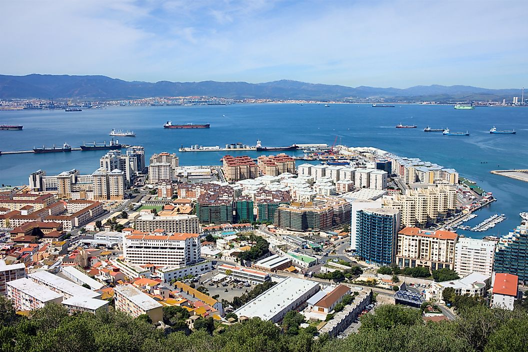
4. Iberian Peninsula
The Iberian Peninsula is located in southwestern Europe, forming a 1,030-mile long coastline along the Mediterranean Sea to the east, and a 1,027-mile long coastline along the Atlantic Ocean to the west. The peninsular region is made up of the following countries and areas: Spain, Portugal, Andorra, Gibraltar (an overseas territory of the UK), and a small part of France. The Iberian Peninsula covers a total area of 225,000 square miles, making it the second largest peninsula in Europe. The economy of this peninsular division is diverse, although fishing, mining, and tourism make up a large portion of the overall gross domestic product (GDP).
The Iberian Peninsula is home to a number of mountain ranges and major waterways. Some of the mountains found here include: the Cantabrian Mountains, the Sierra Morena, the Pyrenees Mountains, and the Montes de Toledo. The highest peak within the peninsula is Mulhacén Mountain, which has an elevation of 11,411 feet above sea level and belongs to the Sierra Nevada mountain range. The longest river to flow through the Iberian Peninsula is the Tagus, which runs for 626 miles before draining into the Atlantic Ocean.
3. Apennine or Italian Peninsula
The Apennine Peninsula, also known as the Italian Peninsula, is located in the southern region of Europe, and covers a total area of 50,709 square miles. The peninsular division has coastlines along the Adriatic Sea to the east, the Ionian Sea to the south, and the Tyrrhenian Sea to the west. The entire country of Italy is located within the Apennine Peninsula, as well as the microstates of Vatican City and San Marino. Some geographical definitions of the area also include the islands of Elba, Palagruza, and Sicily. The northern border of the region is generally accepted as the Magra River, which runs a course of 39 miles before emptying into the Tyrrhenian Sea. Neither the Po Valley nor the southern Alps mountains are included in the region.
The economy of the Apennine Peninsula reflects that of Italy, which relies on manufacturing, wine production, and science and technology. The entire peninsular division has a population of more than 60.58 million individuals.
2. Scandinavian Peninsula
The Scandinavian Peninsula is located in the northern region of Europe, and has coastlines along the Norwegian Sea in the west, the Baltic Sea in the east, the Barents Sea in the north, and the North Sea in the south. The peninsular region includes the entire areas of Norway and Sweden, a small portion of Finland, and a small piece of Russian land. The peninsula stretches for 1,150 miles in length and between 230 and 500 miles in width, making it the largest peninsula in Europe. The east-central part of the region is marked by the Scandinavian mountain range, which runs for 1,100 miles. Its highest point is Galdhopiggen peak, which has an elevation of 8,100 feet above sea level.
The Scandinavian Peninsula experiences a range of climates, including a marine climate in the west, a continental humid climate in the central region, a tundra climate in the low northern region, and a subarctic climate in the far north. In fact, approximately 25% of the Scandinavian Peninsula is located in the Arctic Circle. The economy within the peninsular region relies on a number of natural resources, including: natural gas, petroleum, timber, fish, copper, iron, and agriculture (which is concentrated in the south, where the climate is milder).
1. Fennoscandian Peninsula
The Fennoscandian Peninsula is located in the northern region of Europe, and is partly composed of the Scandinavian Peninsula and the Kola Peninsula. The peninsula's name combine the terms "Scandia" and "Fennia," which are Latin for "Scandinavia" and "Finland," respectively. The Fennoscandian Peninsula includes the following countries and territories: Sweden, Finland, Norway, part of Russia, Karelia (a region divided between the governments of Russia and Finland), and the Murmansk and Leningrad Oblasts of Russia. The peninsular region has coastlines along the Norwegian Sea, the North Sea, the Barents Sea, the Gulf of Bothnia, the Baltic Sea, the Bay of Bothnia, the Bay of Finland, and the White Sea. The Fennoscandian Peninsula was first identified and named in the late 19th century.


