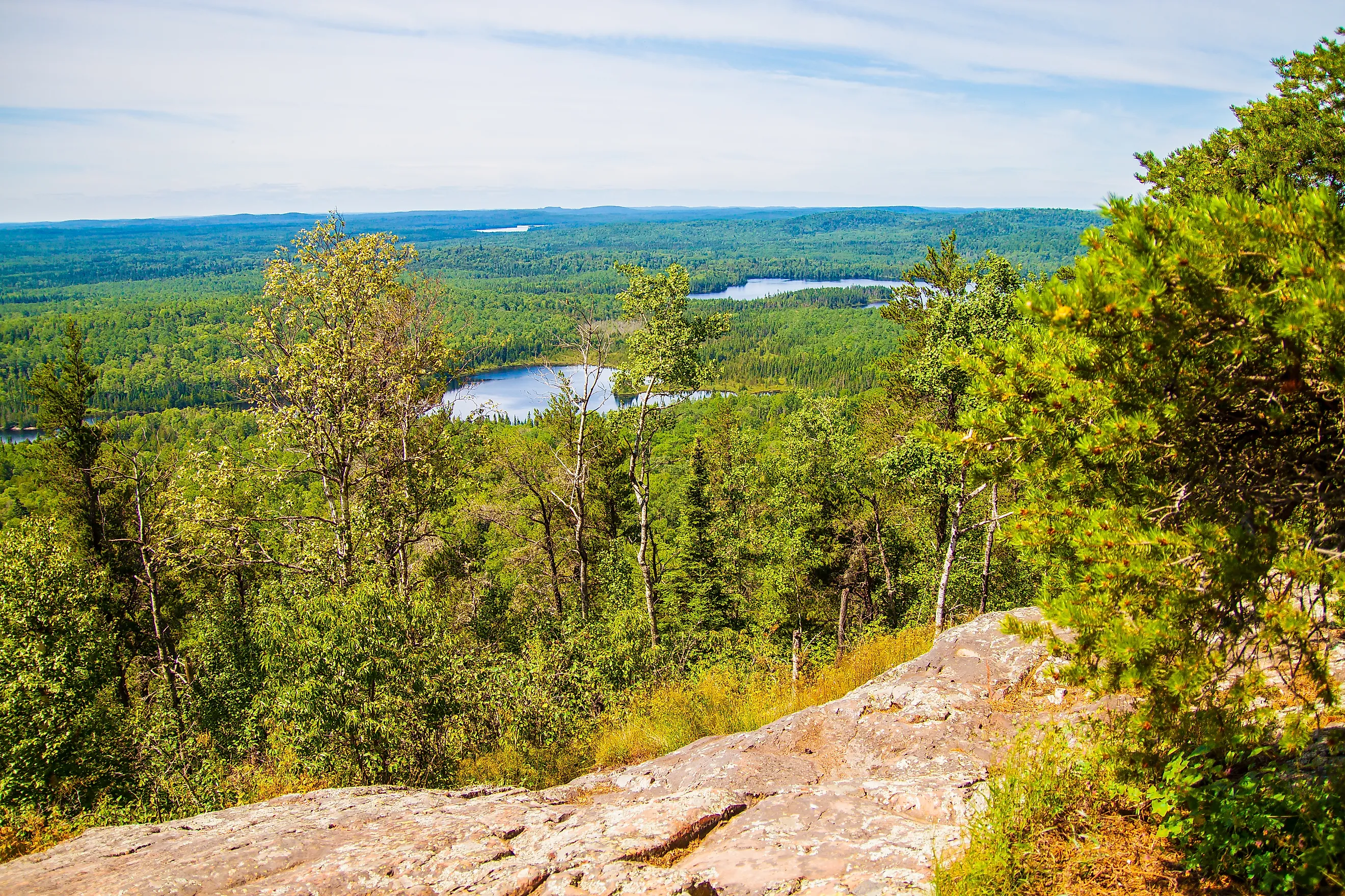
The National Forest With The Most Lakes
Superior National Forest in northeastern Minnesota is home to over 2,000 lakes, filling about 445,000 acres of the dense brush with water, wetlands, and rocky shorelines. Superior is not just a forest with a few lakes scattered around the landscape. The water is part of the forest's basic structure. Canoe routes connect lakes by streams and portages, fish inhabit its many creeks, and wetlands fill the spaces between wooded uplands. Much of the land owes its shape to glaciers that scoured the bedrock of Northern Minnesota over 10,000 years ago, and these waters still shape it today.
A Forest Filled With Water

The Forest Service's land-management record gives Superior a useful measure for understanding its water resources. The forest features over 2,000 lakes, providing 445,000 acres of surface water. The area contains upward of 1,300 miles of major streams supporting cold-water fisheries, plus 950-plus miles supporting warm-water fisheries.
The Minnesota Department of Natural Resources describes the Border Lakes subsection around Superior National Forest as a glacially eroded bedrock landscape characterized by lakes and rocky ridges. Glaciers carved depressions into the northern Minnesota terrain, and many of those depressions filled with water as the ice retreated.
Across the forest, trees and open water repeatedly trade places. A road might pass a lake, disappear into spruce and pine, and emerge beside another body of water in just a few miles. In some parts of Superior, the shoreline seems to go on without end.
A Network of Connected Lakes

A defining trait of Superior National Forest is the way that the bodies of water are linked into chains of lakes, rivers, and smaller waterways. The forest's canoe and kayak routes highlight that connection and cover much of the Boundary Waters Canoe Area Wilderness. The Forest Service's recreation list includes routes where multiple lakes are linked by overland transport routes, including the Astrid Lake Area, where four interconnected lakes form part of a canoe route.
These overland transport routes, known as portages, turn the forest's geography into a water-based trail system. A paddler may leave one lake, carry a boat along a forest trail, and launch again into an entirely new lake without ever reaching a conventional road. Superior's lakes, then, are not isolated sites. They form connected watersheds that traverse the entire park.
The Boundary Waters

Superior's lake-filled landscape reaches its fullest expression within the Boundary Waters Canoe Area Wilderness. The wilderness covers about 1 million acres inside Superior National Forest and stretches for nearly 150 miles along the Canadian border. Its landscape is dominated by lakes, islands, rocky outcrops, and forest, with canoe routes and portages providing the primary movement methods through much of the area.
The Boundary Waters is not a separate national land or forest but is an area managed within the Superior National Forest under the federal Wilderness Act. Wilderness status makes its management stricter than that of the surrounding national forest. Roads, motorized travel, and other uses permitted elsewhere in Superior are restricted within the wilderness.
The Boundary Waters area is made up of 1,175 lakes that vary in size between about 10 acres and 10,000 acres. Together, these lakes and waterways cover about 190,000 acres, creating one of Superior's most densely water-based areas.
Thousands of Lakes Supporting Fisheries

Superior's sheer volume of water plays a large role in Minnesota's fishing landscape. The Forest Service records 695 square miles of surface water and at least 2,250 linear miles of streams in its fisheries planning information. Those waters support species including trout, walleye, pike, and smallmouth bass. Some lakes and streams have special fishing regulations designed around their particular species and fisheries.
Lake Vermilion, for example, covers 39,271 acres and contains 365 islands and 341 miles of shoreline. Walleye naturally reproduce there, and muskellunge are another focus of Minnesota DNR fisheries. Echo Lake, within Superior, covers 1,142 acres and is only 10 feet deep at maximum level. Its watershed is dominated by forest and wetlands, with fisheries that naturally produce northern pike.
Variety sets Superior Forest apart from other water-based landscapes. Each watershed has its own depth, temperature, vegetation, tributaries, and fish populations. No two lakes are identical.
A Forest Defined By Its Water
Superior National Forest is covered by trees, but its character is just as closely tied to the water between them. Over 2,000 lakes, hundreds of thousands of acres of surface water, thousands of miles of streams, and a wide network of wetlands create a landscape where the distinction between forest and lake is constantly shifting.
Water determines where roads can pass, where portages are needed, how fish and wildlife move through the forest, and where different types of habitats meet. In Superior, water is not a mere sight to see but one of the main forces organizing the landscape and its recreation.