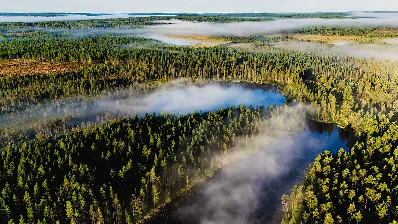
Polar Deserts
When most people hear the word "desert," they picture sand dunes and scorching heat. But the largest desert on Earth has no sand to speak of and rarely sees temperatures above freezing. Polar deserts are regions where annual precipitation falls below 250 millimeters (about 10 inches) and the mean temperature of the warmest month stays below 10°C (50°F). That combination of extreme cold and extreme dryness defines them. The air in polar regions holds very little moisture, so even though these landscapes are covered in ice and snow, they technically receive less annual precipitation than many of the world's hot deserts. The largest polar desert regions are Antarctica, which qualifies as a single vast desert covering an entire continent, and parts of the high Arctic, where scattered polar desert zones stretch across northern Canada, Greenland, and Russia's Arctic islands.
What Makes a Desert "Polar"

A desert is classified by its lack of precipitation, not by its temperature. Under the widely used Köppen climate classification system, polar climates fall into two categories: ET (tundra), where the warmest month averages between 0°C and 10°C, and EF (ice cap), where no month averages above 0°C. Polar deserts span both of these zones, but the strictest polar desert conditions, where vegetation is nearly or entirely absent, correspond to the coldest and driest EF regions.
The key factor is moisture. Cold air is far less capable of holding water vapor than warm air, so even when polar skies produce precipitation, the amounts are minimal. In interior Antarctica, the annual water-equivalent precipitation can be as low as 50 millimeters, making it drier in terms of precipitation than the Sahara. What precipitation does fall in polar deserts almost always arrives as snow, and in many areas that snow accumulates over millennia largely without melting, compressing into the ice sheets that define these landscapes.
Characteristics of Polar Deserts

Polar deserts are not uniformly frozen in the same way year-round. Coastal zones in the Arctic experience seasonal thaw cycles, while Antarctica's deep interior remains permanently frozen. Both regions experience distinct seasons driven largely by the extreme variation in daylight. During polar summer, the sun may not set for weeks or months, while polar winter brings extended darkness. These light cycles affect temperature, biological activity, and the behavior of any wildlife present.
Temperatures vary enormously between polar desert regions, and within each one. In the Arctic, summer temperatures in coastal areas may briefly approach 10°C, while winter temperatures regularly plunge to -30°C or colder, with extremes reaching below -60°C. In Antarctica, even summer temperatures in the interior rarely climb above -20°C, and winter temperatures in the deep interior can fall below -80°C. The coldest temperature ever recorded at a ground-based station was -89.2°C at Antarctica's Vostok Station in July 1983.
The terrain varies as well. Wind-sculpted snow formations called sastrugi are common across both polar deserts, and the Antarctic interior is dominated by vast ice plateaus. In the Arctic, the landscape is more varied, with rocky terrain, gravel plains, and permafrost (permanently frozen ground) underlying much of the surface. Where polar desert soils are exposed, they tend to be thin, nutrient-poor, and often affected by frost heaving, a process where repeated freezing and thawing pushes soil and rock upward into patterned ground formations.
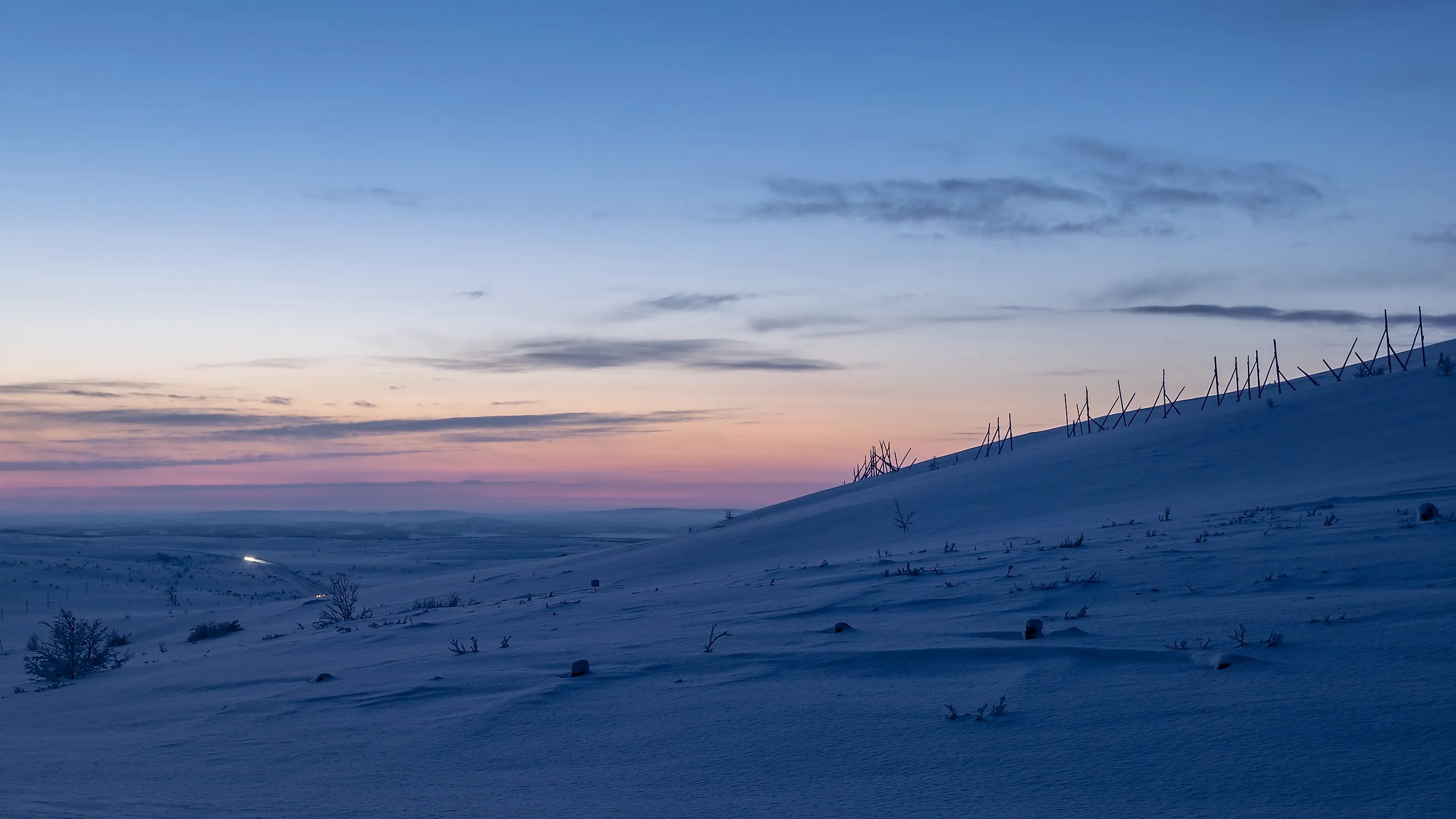
Arctic Polar Desert

Arctic polar desert zones occupy the northernmost reaches of the Northern Hemisphere, primarily across the high Arctic islands and ice caps. The regions that meet the strictest polar desert criteria, where precipitation is minimal and vegetation is nearly absent, are found mainly in northern Greenland, the Canadian Arctic Archipelago (particularly the Queen Elizabeth Islands), Russia's high Arctic islands (such as Franz Josef Land, Severnaya Zemlya, and northern Novaya Zemlya), and Norway's Svalbard archipelago. Parts of northern Alaska and a few other high-latitude areas also contain polar desert zones, though their extent is limited. The total area classified as Arctic polar desert varies considerably depending on the classification system used, ranging from roughly 1.5 to over 5 million square miles in the broadest estimates, which often include adjacent tundra zones.

The Arctic polar desert is characterized by seasonal snow cover, permafrost, and long periods of continuous daylight in summer followed by continuous darkness in winter. Annual precipitation in the true polar desert zones (the high Arctic islands and northern Greenland ice cap) typically falls well below 250 millimeters. Strong winds can redistribute snow across the flat terrain, creating the appearance of snowfall even when the sky is clear, a phenomenon called ground blizzards.
Biological life in the true polar desert zones is extremely sparse. Vegetation is limited to hardy lichens, mosses, and occasional algae growing on exposed rock, and animal life in these barren interiors is minimal. However, the polar desert grades into tundra at its margins, and it is in these transitional and surrounding zones that the Arctic's more familiar wildlife is found. Tundra and coastal areas support polar bears, arctic foxes, muskoxen, caribou, arctic hares, lemmings, and snowy owls, while marine ecosystems along Arctic coastlines are home to walruses, multiple species of seals, and narwhals. Millions of migratory birds also use Arctic coastal and tundra areas for breeding during the brief summer months. These species depend on the broader Arctic ecosystem rather than the polar desert itself, but the boundaries between the two zones are not always sharp.
Antarctic Polar Desert

The Antarctic polar desert covers the continent of Antarctica, an area of approximately 5.5 million square miles (14.2 million square kilometers), making it roughly 1.4 times the size of Europe and by far the largest desert on Earth by area. It is surrounded by the Southern Ocean and is the coldest, driest, and windiest continent.
About 98% of Antarctica is covered by an ice sheet that averages roughly 1.2 miles (2 kilometers) in thickness. This ice sheet contains about 70% of the world's fresh water. Precipitation in the interior averages around 50 millimeters of water equivalent per year, while coastal areas may receive 200 millimeters or more. Nearly all precipitation falls as snow.

There is no permanent human habitation on Antarctica, though dozens of research stations operate year-round, staffed by rotating crews of scientists and support personnel from around the world. Biological life on the continent is limited but more diverse than often assumed. On land, organisms such as bacteria, algae, lichens, mosses, tardigrades, nematodes, and mites survive in ice-free areas and within rocks. The surrounding seas, however, are among the most productive on the planet: Antarctic waters support vast populations of krill, which in turn sustain multiple species of penguins, seals (including Weddell, leopard, and crabeater seals), and whales (including humpback, minke, and blue whales). Emperor penguins are perhaps the most iconic Antarctic species, breeding on the sea ice during the depths of winter in temperatures that would be lethal to most other animals.
Why Polar Deserts Matter

Polar deserts play a critical role in regulating Earth's climate. The ice sheets in both the Arctic and Antarctic reflect a large portion of incoming solar radiation back into space, a process known as the albedo effect, which helps moderate global temperatures. They also store enormous volumes of frozen fresh water. If the Antarctic ice sheet were to melt entirely, global sea levels would rise by an estimated 190 feet (58 meters).
These regions also serve as invaluable records of Earth's climate history. Ice cores drilled from Antarctic and Greenland ice sheets have provided continuous records of atmospheric composition, temperature, and volcanic activity stretching back hundreds of thousands of years. That data has been essential to understanding how the planet's climate has changed over time and how it may change in the future.
Polar deserts are changing. Rising global temperatures are causing the Arctic to warm at roughly two to four times the global average, a phenomenon known as Arctic amplification. This is accelerating the loss of sea ice, thawing permafrost, and shifting the boundaries of polar desert and tundra zones. In Antarctica, the warming of ocean waters is contributing to the destabilization of ice shelves, with potential consequences for global sea levels. Understanding these landscapes, how they function, what lives in them, and how they are shifting, is essential to understanding the trajectory of the planet's climate as a whole.