The Most Isolated Towns in the Lower 48
Most Americans live within an hour of a city, which is what makes these eight towns so unusual. Each one sits hours from the nearest stoplight or hospital. The measure of that distance is different in every case. Glasgow is farther from a mid-sized city than any other town in the Lower 48. Supai and Stehekin have no road connecting them to the outside world at all. Snowbound passes seal off Silverton for part of each winter. Mentone is the county seat of the emptiest county in the country. Out here the map goes quiet, and the people who stay have made peace with the silence.
Glasgow, Montana

Back in 2018, the Washington Post ran the numbers on where the true middle of nowhere was. Glasgow won. Of every town in the Lower 48 with at least a thousand people, this one sits farthest from any city of 75,000 or more. The nearest such city is about four and a half hours away by car. Locals wear the title with a grin, and you can buy a "Middle of Nowhere" t-shirt to prove you were here.
Roughly 3,200 people live in Glasgow, which makes it the biggest place on this list. A railroad clerk supposedly named it in 1887 by spinning a globe and stopping his finger on Scotland. The trains never left. Amtrak's Empire Builder still stops here on its run between Chicago and the Pacific coast. Winters bite hard on the northern plains, so people look out for one another as a matter of course. That habit shows up at Toodie's Cafe over local art and coffee, and at the Busted Knuckle Taproom, where the beer is brewed in town and the decor runs to wrenches and clever names. The Milk River rolls past the edge of downtown, and Fort Peck Lake spreads out to the south.
Tonopah, Nevada

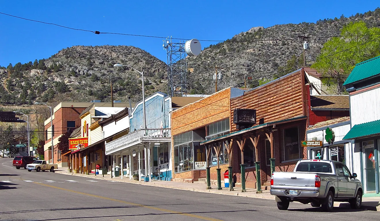
A runaway burro started the whole thing. In the spring of 1900, a rancher named Jim Butler reached for a rock to throw at his wandering mule and found silver in his hand. The strike he stumbled onto became one of the richest in Nevada history, and a town of more than 3,000 grew up around it almost overnight. The silver ran thin by the 1940s, and today about 2,200 people remain. They keep the story alive at the Tonopah Historic Mining Park, more than a hundred acres of original headframes and hoisting works you can walk through on a self-guided tour.
Locals also learned to sell the very thing that keeps them far from everywhere else. Set halfway between Las Vegas and Reno, Tonopah sits under some of the darkest skies in the country. USA Today once named it the top stargazing spot in America. The Clair Blackburn Memorial Stargazing Park has concrete pads for telescopes and picnic tables for the people who just want to look up, and on a clear moonless night you can count thousands of stars with your bare eyes. For a roof, there is the restored 1907 Mizpah Hotel, or the Clown Motel next to the old cemetery for anyone who likes a scare with their sleep.
Supai, Arizona

No road reaches Supai. To get to this village at the bottom of Havasu Canyon, you hike eight miles down a switchback trail, ride a mule or horse, or catch a helicopter when the canyon winds allow it. The mail comes the same way. Supai is the last place in the country where the Postal Service still delivers by mule train, a string of animals carrying letters, groceries, and medicine down the same trail visitors use.
About 200 people live here year-round, all members of the Havasupai Tribe, whose name means "people of the blue-green water." The color is no exaggeration. Havasu Creek runs a vivid turquoise through the canyon and spills over the limestone into Havasu Falls, one of the most photographed waterfalls in Arizona. The village borders Grand Canyon National Park without belonging to it, and visitors need a reservation to come at all, staying either at the campground or the tribe's lodge. Tourism keeps the community going, and the rules of the place stay simple. Bring what you need, and pack out what you brought.
Stehekin, Washington

Supai has a cousin 1,300 miles to the northwest, and it could not look more different. Stehekin sits at the head of Lake Chelan, deep in the North Cascades, and no road connects it to the outside world. You arrive by passenger ferry up the 50-mile lake, by floatplane, or on foot over a mountain pass. The few cars in town were barged in across the water. The name comes from a Salish word meaning "the way through," which fits a place that has always been a doorway into the mountains rather than a destination you stumble onto.
About 85 people live here year-round, and the number swells each summer with hikers coming off the Pacific Crest Trail for real food and a bed. Their first stop is almost always the Stehekin Pastry Company, whose cinnamon rolls have a reputation that travels farther than the town's phone signal did for most of its history. A short walk or shuttle ride from the landing leads to Rainbow Falls, a 312-foot ribbon fed by glacier melt. Old-growth forest and glaciated peaks ring the valley, and the lake water runs clear enough to see 30 feet down. In winter the place shrinks to its core residents, and most services close until the ferry schedule picks back up.
Frenchglen, Oregon

You could count the year-round residents of Frenchglen on your fingers, with a couple to spare. Only about a dozen people call it home. The name comes from two cattle barons of the 1870s, Peter French and his father-in-law Hugh Glenn, whose livestock company once ran tens of thousands of head across the high desert here. Their old P Ranch still marks the valley, and the general store on the main street sells the same kind of goods it always has.
Everything in Frenchglen orbits one building. The Frenchglen Hotel opened in 1917 to put up cattlemen and travelers, and the state of Oregon runs it now as a heritage site. Guests share family-style suppers at long tables and swap trail notes with strangers who quickly stop being strangers. The town sits 60 miles south of Burns at the base of Steens Mountain, which climbs to nearly 9,700 feet, and it serves as the gateway to that peak and the birds of the Malheur National Wildlife Refuge. Plan your fuel carefully. The local gas pumps run only part of the year.
Silverton, Colorado

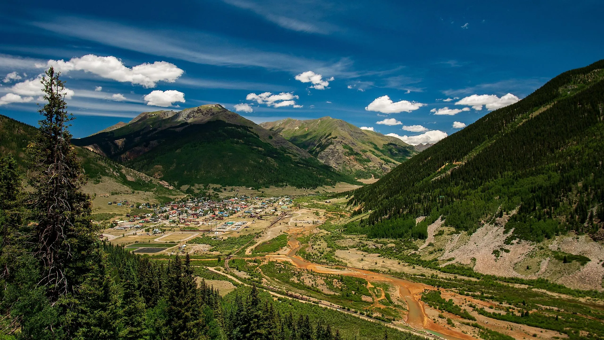
Silverton sits at 9,300 feet in the San Juan Mountains, and the way in tells you everything. The main route is the Million Dollar Highway, a stretch of Route 550 that clings to cliff faces with no guardrails and sheer drops off the shoulder. Winter storms bury the passes, and for stretches the town is effectively sealed off. About 600 people ride out those winters, when snowmobiles and skis do the work cars cannot.
The isolation comes with a payoff most towns would trade for. Miners built Silverton on hard-rock silver in the 1870s, and its downtown survives so intact that the whole district is a National Historic Landmark. Greene Street is lined with wooden storefronts and the restored Grand Imperial Hotel, built in 1883. In summer the crowds arrive the grand way, aboard the Durango and Silverton Narrow Gauge Railroad, a coal-fired steam train that climbs through the Animas River canyon. When the last train pulls out in fall, the town belongs again to the people who stay.
Shelter Cove, California

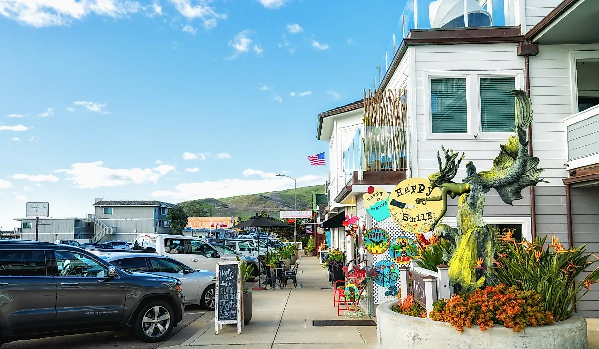
Shelter Cove is quiet today because of a decision made by highway engineers. The King Range rises straight out of the Pacific here, too steep for a coastal road, so Highway 1 was routed far inland and left this stretch of shore on its own. People call it the Lost Coast, the longest undeveloped coastline in California. Reaching Shelter Cove means driving about 20 miles of switchbacks through the redwoods, and the roughly 800 residents like it that way.
What waits at the bottom is worth the winding road. Black-sand beaches sit below bluffs where tide pools fill with sea life at low water, and the town anchors the southern trailhead of the famous Lost Coast Trail. Its landmark has a strange history. The Cape Mendocino Lighthouse, a 43-foot cast-iron tower first lit in 1868 about 30 miles up the coast, was dismantled by volunteers and rebuilt piece by piece at Mal Coombs Park, opening to visitors here in 2000. A single-runway airstrip with a golf course wrapped around it rounds out one of the more improbable town centers on the West Coast.
Mentone, Texas

Mentone is the county seat of the emptiest county in America. Loving County holds only a few dozen permanent residents, and Mentone itself counts around 20. The Loving County Lumber Company opened the town's first business in 1930, and the oil boom that followed pushed the population to about 600 by 1933. The boom faded, the people left, and most of what they built fell back into the desert.
What stayed is the essential machinery of a county seat. The 1935 courthouse still stands as the only two-story building in town, a trim Moderne box on the National Register. There is a post office, a gas station, and a couple of stop signs. There is also Taquería Alexander, the local kitchen where oil-field crews and passing drivers line up for barbacoa and brisket tacos. The oil under the ground still generates real money, so this near-empty patch of West Texas carries an outsized voice at the county level. People stay in Mentone because someone has to run Loving County, and these are the ones who do.
How Eight Towns Beat the Distance
The thread running through all eight is the same question answered eight different ways. What do you do when the nearest city is half a day off? In Glasgow, people build a tighter community and keep the train stopping. In Tonopah, they put the dark skies on the marquee and welcome the world in to look up. In Supai and Stehekin, they live at the pace a trail and a lake allow and haul supplies in the old way. In Frenchglen, they gather around one supper table. In Silverton, they wait out the winter and welcome the summer train. In Shelter Cove, they trade a coastal highway for a quiet stretch of black sand. In Mentone, they keep a courthouse running in the sand and refuse to fold. The land out here is wide and mostly empty, and these eight towns show there is more than one way to make a home in it.