The 9 Can't-Miss Towns In Northern Ireland
Nine towns across Northern Ireland carry names and histories that predate the modern border by centuries. Although located in the United Kingdom, the identity of these communities comes from the Atlantic harbors, the Gaelic chieftain castles, and the early monastic sites rather than from any later administrative line.
Portrush pours harbor life into a Victorian seafront. Ballintoy delivers Causeway Coast drama at a scale so small it barely registers as a village. Downpatrick guards the grave of Ireland's patron saint beneath a medieval cathedral that crowns a hill once sacred to the Dál Fiatach dynasty. Each settlement offers a different window into the Irish landscape that shaped the north long before the Plantation era. These are the nine towns in Northern Ireland that you just can't miss.
Portrush

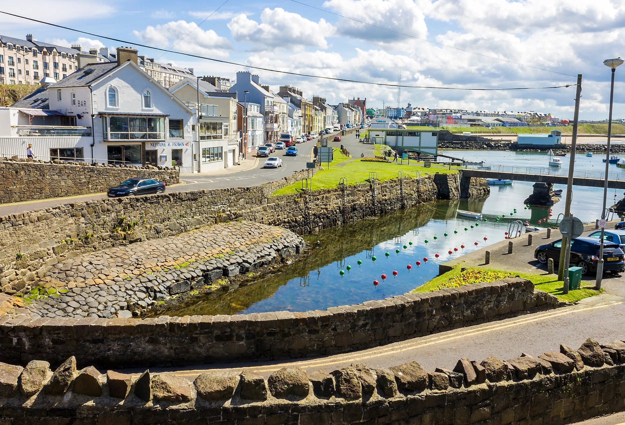
Blue Flag beaches and a working harbor define Portrush (Port Rois), a seaside community of roughly 7,000 residents on the Causeway Coastal Route in County Antrim. The town sits on the Ramore Head peninsula on the Atlantic, with West Strand and Whiterocks Beach offering golden sand backed by limestone cliffs and dunes that draw swimmers and walkers through the summer months. The harbor still launches fishing boats and pleasure craft, and the seafront promenade runs the full length of the peninsula
The Arcadia, a 1930s Art Deco venue on the seafront, hosts events in a building that began as a Victorian pleasure palace and still centers the promenade. Golfers head to Royal Portrush Golf Club, a links course that has hosted The Open Championship and sits on the edge of town. The population swells in July and August, but the town's permanent scale keeps the harbor, the fish-and-chip shops, and the coastal walks working year-round for the local community
Bushmills

A royal license for whiskey distilling still shapes Bushmills, a village in County Antrim where Old Bushmills Distillery runs guided tours and tastings from stone buildings that have produced Irish whiskey for more than 400 years. The operation uses water from Saint Columb's Rill, and the 1608 license makes it one of the oldest licensed distilleries in the world. The River Bush, a salmon river that gives the settlement its name, powered an early 17th-century watermill and still runs through the center of the village past stone cottages and small gardens.
The village sits 2 miles, or about 3.2 kilometers, from the Giant's Causeway, the UNESCO World Heritage Site of hexagonal basalt columns that Irish mythology links to the giant Finn McCool. Visitors use Bushmills as a base for the Causeway Coast, but the village's own offerings, the working distillery, and the riverfront keep it from feeling like a mere service stop on the way to the cliffs.
Cushendall

The Glens of Antrim converge at Cushendall, a village where the Curfew Tower dominates the skyline. The stone landmark, dating to the early 1800s, now serves as an arts and cultural center, hosting exhibitions and workshops that draw visitors off the coastal road. The village site at the mouth of the Red Bay, where the River Dall meets the sea, and the harbor road runs past traditional shopfronts and pubs.
The Cushendall Cliff Path Walk follows the coast with views across the Sea of Moyle to the hills of Scotland on clear days. Just inland, Glenariff Forest Park covers the "Queen of the Glens" with waterfall trails and woodland paths that start a short drive from the village center. The combination of harbor, heritage, and mountain access makes Cushendall a natural hub for the nine glens.
Ballintoy

A village of fewer than 200 people, Ballintoy (Baile an Tuaighe) brings photographers, hikers, and filmmakers to one of the most dramatic coastlines in County Antrim. Ballintoy Harbour sits at the base of limestone cliffs and sea stacks, with a working slipway that still launches fishing boats into the Atlantic swell. The white Ballintoy Parish Church, built in 1813, overlooks the harbor from the hillside and completes a compact village center that feels deliberately preserved against the scale of the cliffs beyond.
The Carrick-a-Rede Rope Bridge, a historic salmon fishermen's crossing to a sea stack, hangs one kilometer east of the village and offers views of Rathlin Island and the Scottish coast. Whitepark Bay offers just under 5 kilometers of golden sand, backed by limestone arches and dunes, accessible via a short coastal path from the village.
Newcastle

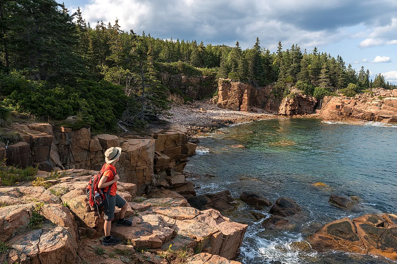
The Mourne Mountains rise directly behind Newcastle (An Caisleán Nua), a seaside town in County Down where Murlough Beach meets a 6,000-year-old dune system. The Blue Flag strand, backed by the National Trust reserve, runs for kilometers along Dundrum Bay beneath the granite peaks. The Irish name references a MacGinnis stronghold that stood here in the late 1500s, long before the Victorian promenade arrived.
Slieve Donard, the highest mountain in Northern Ireland at 850 meters, towers above the town and offers a trailhead that starts practically at the promenade. Tollymore Forest Park, about 3.2 kilometers away, covers about 630 hectares, or 1,550 acres, and features river trails, an arboretum, and stone bridges that have appeared in many television productions, including Game of Thrones and Dracula Untold. Golfers head to Royal County Down Golf Club, consistently ranked among the top courses in the world, where the fairways run between the dunes and the mountain foothills.
Rostrevor

Kilbroney Forest climbs the slopes above Rostrevor (Ros Treabhair), a village on the shores of Carlingford Lough in County Down. The nearly 100-acre Kilbroney Forest Park offers trails, picnic grounds, and mountain bike routes through woodland on Slieve Martin. Carlingford Lough, the tidal sea lough that separates County Down from County Louth, provides walking paths along the water with views of the Cooley Mountains across the border.
The Cloughmore Stone, a 50-ton glacial erratic perched on the mountainside above the village, carries local folklore and a steep trail to its base. Each July, the Fiddler's Green International Festival brings Irish traditional music and arts to the village streets. The older designation Caisleán Ruaidhrí recalls the Magennis family, who ruled this corner of Iveagh before the Plantation era.
Castlewellan

The town, the lake, the park, and the castle all carry the same name in Castlewellan, County Down. Castlewellan Castle, a Scottish Baronial mansion dating to 1856, sits above Castlewellan Lake at the center of a 1,100-acre Castlewellan Forest Park. The Annesley family laid out the grounds, and the Victorian landscaping still frames the shoreline today. The park also includes a national arboretum, mountain bike trails, and riverside paths.
The Peace Maze, formerly the world's largest permanent hedge maze, occupies part of the park and represents Northern Ireland's peace journey through its winding paths and hedgerows. The Animal Wood Play Park offers themed climbing structures and trails for younger visitors near the forest entrance. Each July, the Soma Festival brings Irish language workshops, poetry, and music to the town, emphasizing the area's Gaelic heritage alongside the castle grounds and lakefront.
Enniskillen

Two sections of Lough Erne meet at Enniskillen (Inis Ceithleann), a town that occupies a natural island in County Fermanagh. Enniskillen Castle, dating to the 1400s and built by the Maguire family, Gaelic chieftains of Fermanagh, now houses the Fermanagh County Museum and tells the story of the Irish rulers who held this strategic crossing before the Plantation. The castle's location on the island made it a natural defensive point where the Upper and Lower Lough Erne waterways converge.
The Lough Erne waterways offer boat hire, kayaking, and island exploration from the town center, with dozens of wooded islets accessible by small craft. Marble Arch Caves, a limestone show cave system 20 kilometers west, forms part of the UNESCO Global Geopark and runs guided underground boat tours on the Cladagh River. Nearby estates, including Castle Coole and Florence Court, provide 18th-century neoclassical architecture and woodland trails within a short drive of the island town.
Downpatrick

Down Cathedral crowns the hill at Downpatrick (Dún Pádraig), where the medieval church marks the burial site of Ireland's patron saint. Saint Patrick reportedly built his first stone church on this same hill, and St Patrick's Grave brings pilgrims and historians to the ancient ecclesiastical center. The town served as the capital of the Dál Fiatach, the ruling dynasty of Ulaidh, and the Irish name references the fort of Patrick that predates the Norman abbey by centuries.
The St Patrick Centre, an interactive museum on Market Street, explores the life and legacy of the saint through exhibits and audio-visual displays. Inch Abbey, a ruined 12th-century Cistercian monastery on the Quoile River, sits just outside town and preserves the stone arches and cloister layout of the medieval foundation. The Quoile Pondage Nature Reserve, a wetland on the edge of Downpatrick, provides walking trails and birdwatching along the riverbank.
Nine Towns, One Irish North
Bushmills and Ballintoy sit on the basalt cliffs of Antrim, drawing their character from the Atlantic and the salmon rivers that powered early industry. Cushendall, Newcastle, Rostrevor, and Castlewellan climb toward the granite peaks of Down, where Gaelic place names still mark the trailheads. Enniskillen holds its island position in Fermanagh, guarding the water crossings that the Maguire chieftains controlled for centuries. Downpatrick preserves the ecclesiastical capital that predates the Norman abbey by a thousand years. Each town proudly carries an Irish name and remains a place where the Irish landscape, rather than any later administrative line, still defines daily life.