8 Safest Towns In New Mexico For Senior Living
New Mexico's terrain shifts between volcanic plateaus, river valleys, and high-desert oil country within a few hours' drive. The Salmon Pueblo great house has stood along the San Juan River since around 1090. A saloon in Bernalillo that opened the day after Prohibition ended in 1933 is still run by the same family today. The eight towns ahead reach across all four regions of the state. Each ranks among the safer communities in New Mexico and holds hospital access and senior services within reach.
Los Alamos

Built as the Manhattan Project's secret city in 1943, Los Alamos today spreads across four mesas of the Pajarito Plateau. About 13,000 residents live at an elevation of 7,300 feet. Reported incident rates run well below New Mexico's statewide pace in the most recent FBI UCR and NM DPS reporting cycles. The town runs its own police department, fire department, and EMS service from three stations across the mesa. Los Alamos Medical Center, a 47-bed acute care hospital, anchors local healthcare and earned a Leapfrog Hospital Safety Grade 'A' in 2023, one of only a handful of New Mexico hospitals to do so that cycle.
The Bradbury Science Museum, run by Los Alamos National Laboratory and free to enter, traces the wartime history through more than 60 interactive exhibits. Bandelier National Monument preserves Ancestral Puebloan cliff dwellings carved into volcanic tuff, a short drive south. The Betty Ehart Senior Center in town and the White Rock Senior Center across the canyon handle daily meals and programming. The Happy Ramblers walking group meets weekly for trail outings. Santa Fe sits 35 miles southeast for specialty care and weekend trips.
Corrales

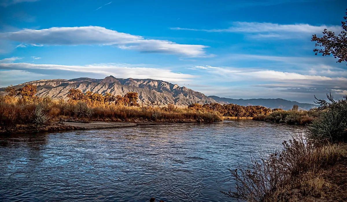
Apple orchards, alfalfa fields, and acequias still define Corrales. The village holds 8,493 residents per the 2020 Census and stretches along the Rio Grande just north of Albuquerque on multi-acre lots threaded with horse trails. FBI 2023 UCR and NM DPS data show violent-crime rates around 230 per 100,000 in Corrales, well below New Mexico's statewide rate near 780 per 100,000. The Corrales Police Department handles village patrol, with mutual aid from the Sandoval County Sheriff for the surrounding county lands.
Most Corrales residents rely on UNM Sandoval Regional Medical Center in nearby Rio Rancho for hospital care. UNM Health attendings staff the emergency department day and night. In the village, the Corrales Senior Center offers meals and wellness classes, and Sandoval County Senior Services helps residents get to medical appointments. Old San Ysidro Church, built in 1868, still figures in community life. Casa San Ysidro keeps a restored 1870s adobe homestead open under the Albuquerque Museum. Along the river, the Corrales Bosque Preserve gives locals a quiet place to walk beneath the cottonwoods.
Bernalillo

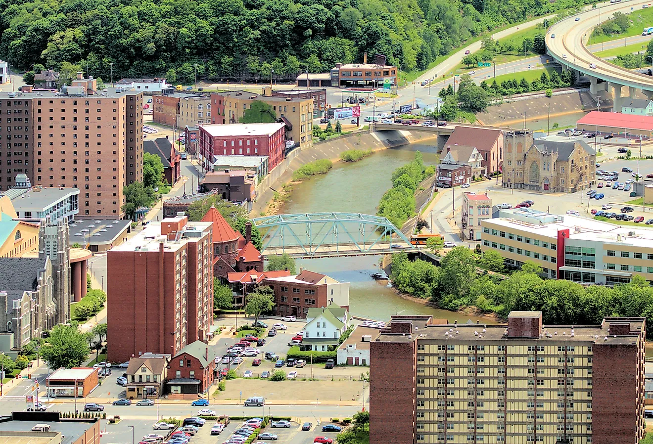
Felix Silva Sr. opened Silva's Saloon the day after Prohibition ended in 1933, and the Silva family has run it ever since; his granddaughter Denise Silva runs it today. The saloon anchors a human-scale downtown along Camino del Pueblo in a town of about 9,000 residents. Bernalillo sits 16 miles north of Albuquerque along the Rio Grande. The Bernalillo Police Department handles municipal patrol; the Sandoval County Sheriff covers the surrounding county.
UNM Sandoval Regional Medical Center sits about 10 minutes south by car. The Sandoval County Senior Center network runs congregate meals, homemaker services, and respite care for caregivers. The Coronado Historic Site preserves the 14th-century Kuaua Pueblo, with rare prehistoric kiva murals on display. Its visitor center was designed by John Gaw Meem, the architect responsible for much of Santa Fe's Pueblo Revival look. Kasha-Katuwe Tent Rocks National Monument sits less than an hour northwest, with two short trails that end at views of the Sangre de Cristo and Sandia ranges.
Bloomfield

The San Juan River flows east-west through Bloomfield, a town of 7,421 residents on the eastern edge of the Four Corners region in San Juan County. San Juan Regional Medical Center in Farmington, 13 miles west, anchors the regional safety net as a 198-bed Level III Trauma Center. Its EMS service holds the American Heart Association Mission: Lifeline Gold Plus designation for STEMI care, and AirCare provides helicopter evacuation when every minute counts.
The Bloomfield Senior Citizens Center runs daily meals and Encore Senior College classes, plus home-delivered meals for residents who cannot make it in. Salmon Ruins, a Chacoan great house built around 1090 CE with 275 to 300 original rooms across three stories, sits along the river two miles west of town. The site holds a museum and a reconstructed Heritage Park with traditional dwellings. Aztec Ruins National Monument, about 12 miles north in Aztec, preserves a major Ancestral Puebloan site with a reconstructed Great Kiva. Closer to town, Vereda de Rio San Juan runs a riverside walking trail with picnic areas and lighted paths.
Las Vegas

Las Vegas, New Mexico, holds more than 900 buildings on the National Register of Historic Places across multiple historic districts, including preserved 1880s adobes and Victorian commercial structures around the plaza dating to the town's founding in 1835 by Mexican settlers under a land grant. About 13,000 residents share two districts split by the Gallinas River, with the Sangre de Cristo foothills rising to the west. Las Vegas sits two hours northeast of Albuquerque and just over an hour east of Santa Fe. The Las Vegas Police Department handles municipal patrol, and the San Miguel County Sheriff covers the surrounding ranchland.
Alta Vista Regional Hospital is a 62-bed acute care hospital on Legion Drive, with a 24-hour emergency department that serves San Miguel County and the surrounding ranchland. The Las Vegas Senior Center on Sabino Street runs daily meals and case management. The 1904 Carnegie Library is the only Carnegie Library in New Mexico still operating as a library; it sits in a city-block park and reflects the neoclassical style common to Carnegie buildings of the period. The Las Vegas National Wildlife Refuge a few miles south runs auto routes through marshes that draw migrating sandhill cranes and avocets each fall. The City of Las Vegas Museum and Rough Rider Memorial Collection holds artifacts donated by Theodore Roosevelt's Rough Riders, who held their first reunion in Las Vegas in 1899.
Artesia

Main Street in Artesia doubles as a self-guided art walk, lined with bronze sculptures that trace the town's ranching, oil, and pioneer history. The town has about 12,600 residents and sits along US Highway 285 in southeastern New Mexico, where the Permian Basin meets the edge of the Chihuahuan Desert. FBI UCR data and NM DPS reporting place Artesia's incident rate at roughly half the state average. Local patrol duties are shared by the Artesia Police Department and the Eddy County Sheriff's Office, while the Artesia Fire Department handles EMS.
Artesia General Hospital is a 25-bed nonprofit acute care hospital with DNV accreditation and strong patient-satisfaction marks in CMS Hospital Compare reporting. The Artesia Senior Center offers fitness and arts programming with periodic health checkups, and Artesia Meals-on-Wheels delivers daily meals prepared in the hospital dietary kitchen. The Artesia Public Library holds a Peter Hurd fresco relocated from a 1950s Houston commercial building after that building's demolition, one of the largest Hurd works on public display. Carlsbad Caverns National Park sits about 64 miles south for day trips into the limestone cave system.
Grants

Historic Route 66 cuts through downtown Grants, and Mount Taylor rises in the northeast at 11,301 feet. The peak is sacred to the Diné and Hopi nations and to the Acoma, Laguna, and Zuni Pueblos. The Cibola County seat sits 78 miles west of Albuquerque on the high desert at 6,460 feet, with about 9,200 residents. Reported incident rates run below New Mexico's statewide pace per state DPS data and FBI UCR. The town also lies near the Continental Divide, which crosses the surrounding plateau. The Grants Police Department handles municipal patrol, and the New Mexico State Police substation on Roosevelt Avenue covers county-level highway response.
Cibola General Hospital on East Roosevelt Avenue is a 25-bed critical access hospital serving Grants. Its services include physician-staffed emergency care around the clock, along with intensive care nursing and general surgery. The Cibola Senior Citizens Center provides Meals on Wheels, transportation, and ceramics classes, and ECHO Food Bank distributes there once a month. South of town, El Malpais National Monument opens onto lava fields and cinder cones, with a visitor center just off I-40. In downtown Grants, the New Mexico Mining Museum lets visitors descend by elevator into a recreated uranium mine. The Route 66 Neon Drive-Thru Arch on Santa Fe Avenue has become one of the town's regular photo stops.
Anthony

Anthony straddles the New Mexico-Texas border in the Mesilla Valley wine country, with 8,693 residents per the 2020 Census. The most recent FBI UCR reporting cycle places Anthony's serious-crime rates among the lowest of any incorporated New Mexico community of comparable size. The town sits in the Chihuahuan Desert at about 3,800 feet of elevation along the Rio Grande floodplain. The Anthony Police Department handles municipal patrol, with the Doña Ana County Sheriff's Office providing mutual aid; the Anthony Fire Department provides EMS.
Memorial Medical Center in Las Cruces is the nearest full-service hospital, about 23 miles north on I-10. For everyday care, Anthony has a closer option: Memorial Family HealthCare on Chebo Murillo Street opened in June 2025 at the former Dos Lagos site and includes X-ray imaging for non-emergency needs. The Anthony Community Center hosts senior programming through the Non-Metro Area Agency on Aging, and the Doña Ana County Sheriff's Amigos de DASO program provides welfare checks for residents 60 and older. A few local landmarks round out daily life: La Viña Winery sits about seven miles south in La Union and hosts its Spring and Harvest festivals each year, and Adams Ball Park remains a gathering place for community events and Friday-night football.
What These Towns Offer Retirees
The eight communities span four regions of New Mexico. Los Alamos sits on the Pajarito Plateau, while Corrales and Bernalillo line the Rio Grande corridor north of Albuquerque. Las Vegas anchors the Sangre de Cristo foothills, and Bloomfield occupies the Four Corners region. Grants follows Route 66, Artesia sits in the Permian Basin, and Anthony anchors Mesilla Valley wine country. Each town ranks among the safer communities in the state based on FBI UCR and NM DPS data. Hospital access, senior services, and a walkable center remain within reach in every one.