8 Off-The-Beaten-Path Towns In Colorado
Colorado's mountain crowds cluster in a handful of predictable places. The ski runs off Interstate 70 fill up fast, and so do the hot-springs resorts of the San Juans. The state's farther corners ask for more driving and pay it back with more room. A bluegrass town in the northern foothills, a moose outpost near Wyoming, and a steam railroad on the New Mexico border each define a community most travelers miss. These eight small towns across Colorado trade headline status for elbow room, and every one rewards the detour.
Lyons

Lyons straddles the meeting of the North and South St. Vrain Creeks, about 20 miles east of Rocky Mountain National Park. Quarry workers founded the town in 1880, and the red Lyons sandstone they cut still faces buildings across the state, including parts of the University of Colorado campus. Planet Bluegrass, a 20-acre venue on the riverbank, draws roughly 4,000 people a day to RockyGrass in late July and the Rocky Mountain Folks Festival in August. The town keeps its history close, too. The Lyons Redstone Museum fills an 1881 sandstone schoolhouse with quarrying exhibits and runs through October each year. Outdoor hours come easily here. Hall Ranch opens miles of mountain-biking and hiking trails north of downtown, while LaVern M. Johnson Park sets up a splash pad in summer and an ice rink in winter. Cap the day with a pint of Dale's Pale Ale at Oskar Blues, the Lyons brewery that helped put craft beer in a can.
Walden

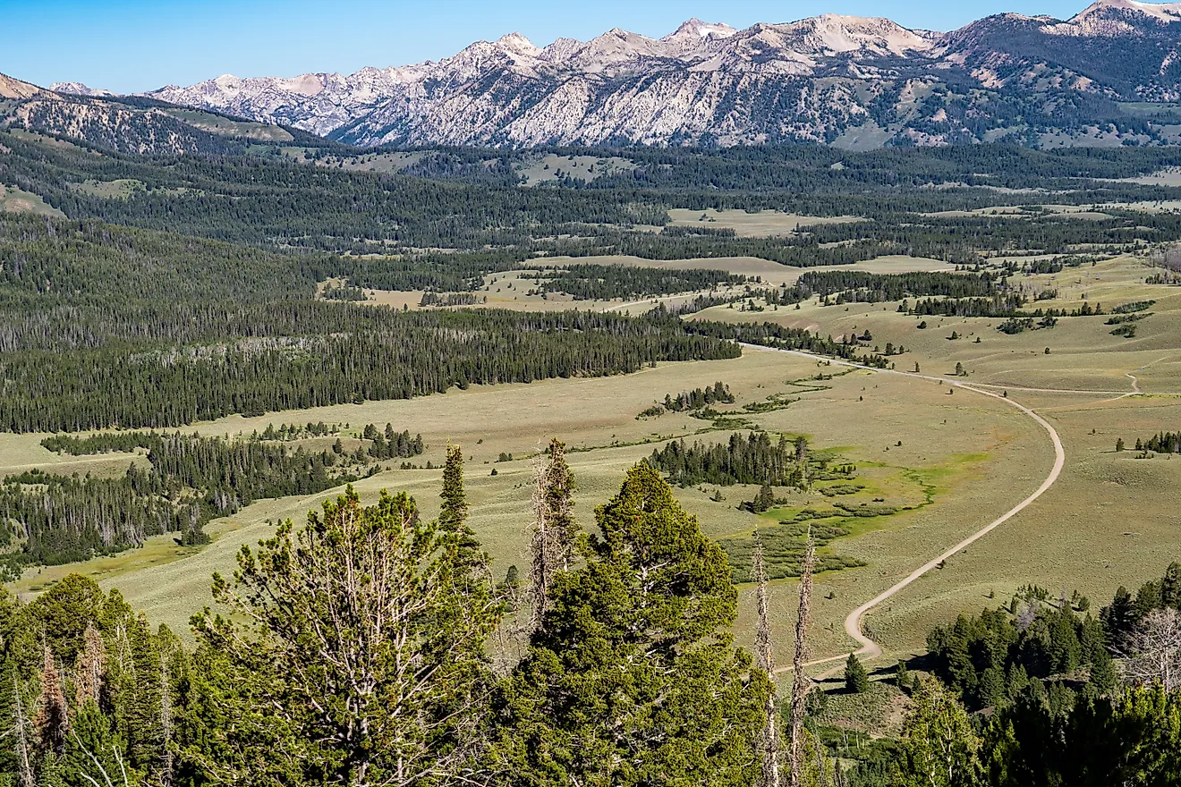
Walden holds the center of North Park, a high sagebrush basin ringed by mountains about 20 miles south of the Wyoming border. The town of roughly 600 residents calls itself the Moose Capital of Colorado, and the title holds up. State Forest State Park, a half-hour drive away, shelters a large share of North Park's moose. The Moose Visitor Center sends first-timers toward the willow flats where the animals feed. South of town, the Arapaho National Wildlife Refuge sits among the highest-elevation refuges in the country and protects wetlands along the North Platte headwaters. The North Park Pioneer Museum keeps shorter hours but rewards a stop, set in an 1882 ranch house grown to 27 rooms of regional relics. Drivers reach all of it on the Cache la Poudre-North Park Scenic Byway, a 101-mile route down from Fort Collins. For something stranger, the dunes at North Sand Hills pull off-road riders to a rare stretch of sand open to motorized use.
Hot Sulphur Springs

South of North Park, the Grand County seat of Hot Sulphur Springs lines the Colorado River at the mouth of Byers Canyon. The springs gave the town its name and its purpose. Hot Sulphur Springs Resort and Spa channels the mineral water the Ute people once used into more than 20 soaking pools, open daily from 8 am to 10 pm. The town also claims a real place in skiing history. A winter carnival first ran here in 1911, an event often cited as the origin of organized skiing in Colorado. The Pioneer Village Museum, set in the original schoolhouse, tells that story beside 8,500-year-old artifacts unearthed at nearby Windy Gap. Just west, Byers Canyon narrows around the river and gives anglers access to Gold Medal trout water and short, steep trails. Plan a visit for June, and the town fills with Hot Sulphur Days, three days of a parade, pancake breakfast, and fireworks. The famous slopes of Winter Park sit close by for a day trip, but the mineral pools are the reason to stop.
Meeker

Far to the west, in Colorado's high northwest corner, Meeker follows the White River through a wide ranching valley below the Flat Tops. The town built its name on that landscape, and one event makes the point every September. The Meeker Classic Sheepdog Championship Trials has run for about 40 years, pulling top handlers and border collies to work range sheep across an open course. A few blocks away, the White River Museum occupies the 1880s log officer's quarters of the old Army garrison. Its rooms hold Ute artifacts, pioneer tools, and the stagecoach that carried Theodore Roosevelt into town. Main Street reads as a record of the boom years, with the Meeker Hotel of 1896 at its head, a downtown listed on the National Register of Historic Places. The drive out is the other reason to come. The Flat Tops Trail Scenic Byway, also marked as County Road 8, climbs through the White River National Forest past lakes and aspen stands. Anglers point their trucks upstream toward Trappers Lake, the river's headwaters.
Victor

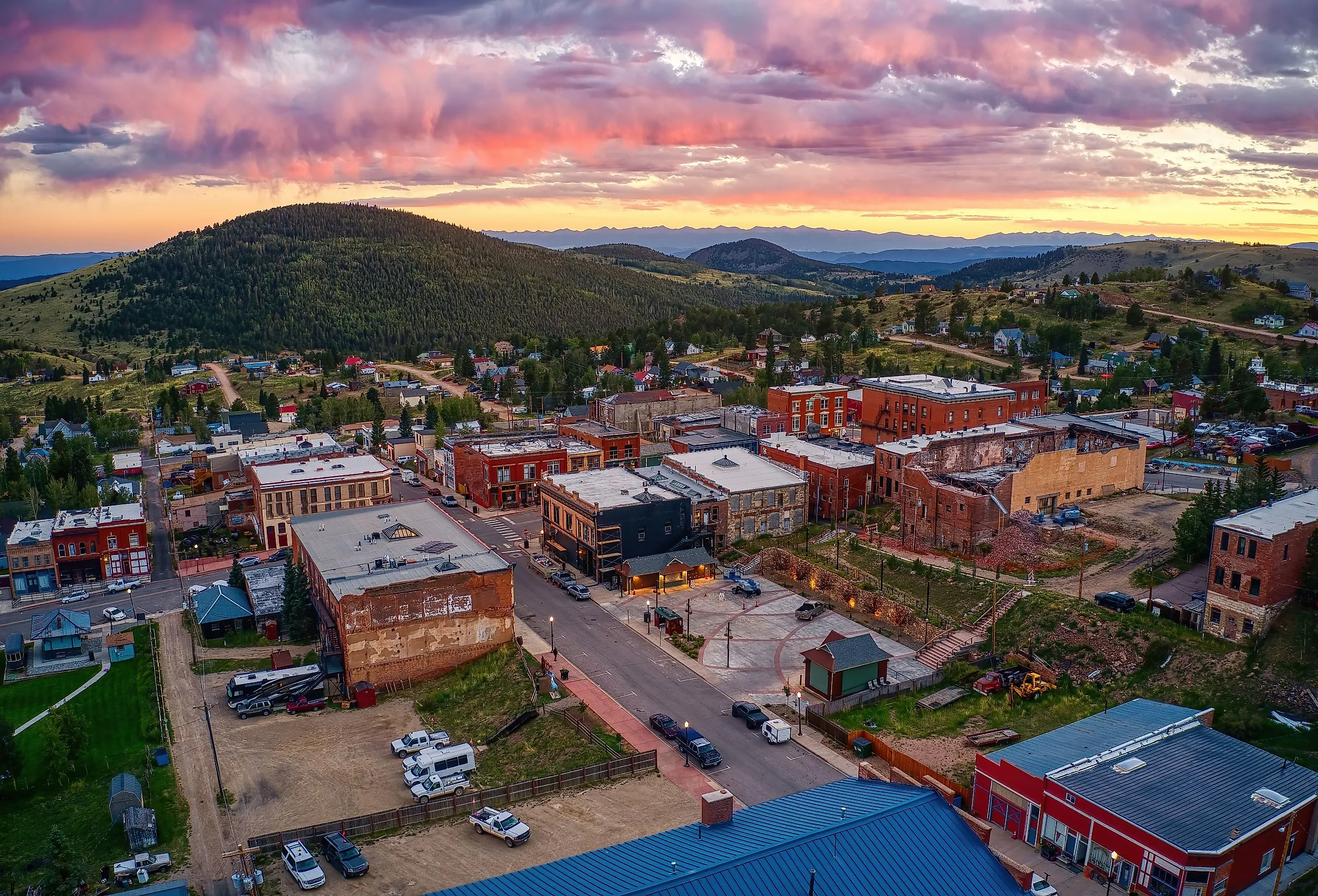
South and east, on the back side of Pikes Peak, Victor climbs the slopes of Battle Mountain at nearly 9,700 feet. Fewer than 400 people live here now, though the gold camp around them once held tens of thousands. Old headframes from the Ajax and Independence mines still stand on the hillsides, and brick storefronts line a downtown little changed since the 1890s. The Victor Lowell Thomas Museum explores that era through gold rush exhibits. One room honors Lowell Thomas, the radio broadcaster who grew up in town and edited the local paper at 18. Walkers trace the boom on the Vindicator Valley Trail, a two-mile loop past more than a dozen mine sites with interpretive signs. The Gold Belt Tour Scenic Byway runs straight through the district, a backcountry route linking it to Cañon City. Cripple Creek and its casinos pull the larger crowds a few miles north, which leaves Victor the less-trafficked half of the gold district.
La Veta

Farther south, La Veta stands at the foot of the twin Spanish Peaks in the Cuchara River valley. Colonel John Francisco built a trading post here in 1862, and the adobe walls survive as the Francisco Fort Museum, regarded as the last original adobe fort in Colorado. The grounds keep a period saloon, an 1876 log schoolhouse, and a working blacksmith forge, open from Memorial Day through Labor Day. Art now drives much of the town. Galleries line the small downtown, and the Spanish Peaks Arts Council runs exhibits; it is currently hosting a Western Rendezvous, focusing on art from the American Southwest. The drive earns its own reputation. The Highway of Legends Scenic Byway climbs Highway 12 past the Great Dikes, long volcanic walls that radiate from the peaks and are found in few other places on Earth. The past lingers in the high pass, where the ghost town of Uptop keeps an 1877 depot and chapel. Come the first weekend of October, La Veta trades calm for a German biergarten and street dancing at its long-running Oktoberfest.
Antonito

Over La Veta Pass and into the San Luis Valley, Antonito marks the valley's southern edge, a few miles north of the New Mexico line. The town traces its roots to Hispanic farm families who settled the Conejos country in the 1800s, and one ride keeps it on the map. The Cumbres and Toltec Scenic Railroad, a National Historic Landmark, runs coal-fired steam locomotives 64 miles to Chama, New Mexico. The narrow-gauge line crests 10,015-foot Cumbres Pass and skirts the cliffs of Toltec Gorge on a track built in 1880. Back in town, folk art takes over. Cano's Castle rises in shining towers of hammered aluminum and scrap, the lifework of local builder Dominic "Cano" Espinoza. West of Antonito, the Conejos River runs cold and clear through the Rio Grande National Forest, prized by fly fishers for its trout. The Los Caminos Antiguos Scenic Byway threads past adobe villages and old mission churches nearby. The railroad stays the headline, and a clear morning at the depot makes the case on its own.
Del Norte

Up the valley, Del Norte spreads along the upper Rio Grande where the river leaves the San Juans for open country. About 1,600 people live in this Rio Grande County seat, the gateway for travelers heading toward Wolf Creek. The main attraction lies just north at Penitente Canyon. The volcanic gorge holds more than 300 bolted climbing routes, plus a faded image of the Virgin of Guadalupe high on one wall. A devout Catholic brotherhood, Los Hermanos Penitentes, once used the canyon for worship, and the rock art records that past. The Rio Grande County Museum and Cultural Center on Oak Street fills in the rest, with displays on Native American rock art, Hispanic settlement, and the Fremont expedition. For a view over the whole valley, the one-mile trail up Lookout Mountain gains the 8,475-foot summit that locals call D Mountain. The river itself carries Gold Medal trout water through town, and the restored Windsor Hotel holds down the main street. Climbers and float fishers tend to claim the same weekends here.
These eight towns sit hours from the nearest ski gondola, and that distance is the point. Lyons runs on bluegrass, Walden on moose, and Antonito on a steam train bound for New Mexico. Victor and Del Norte keep their mining and climbing past close at hand. For travelers willing to drive beyond the marquee names, this stretch of Colorado still has room to spare.