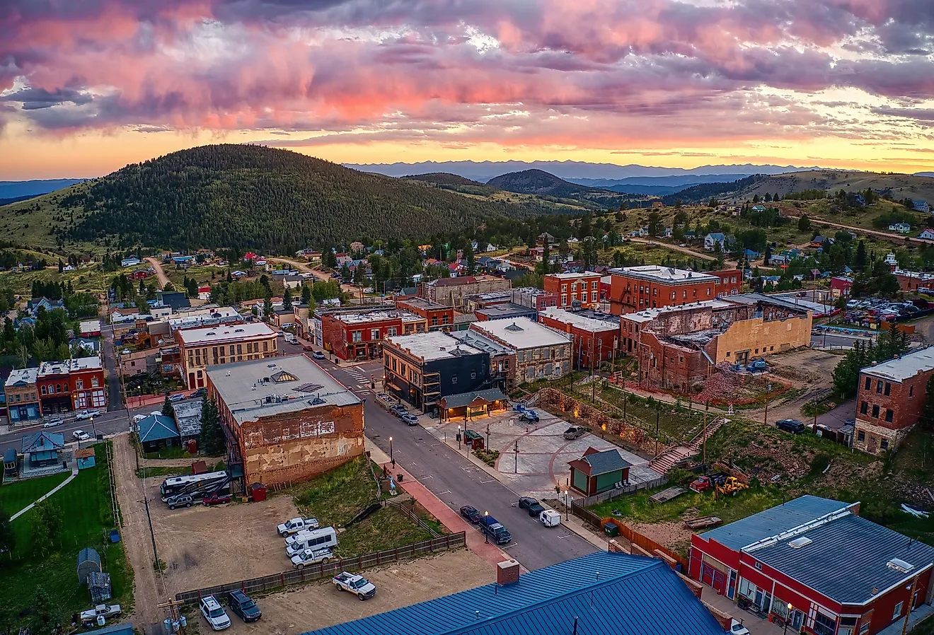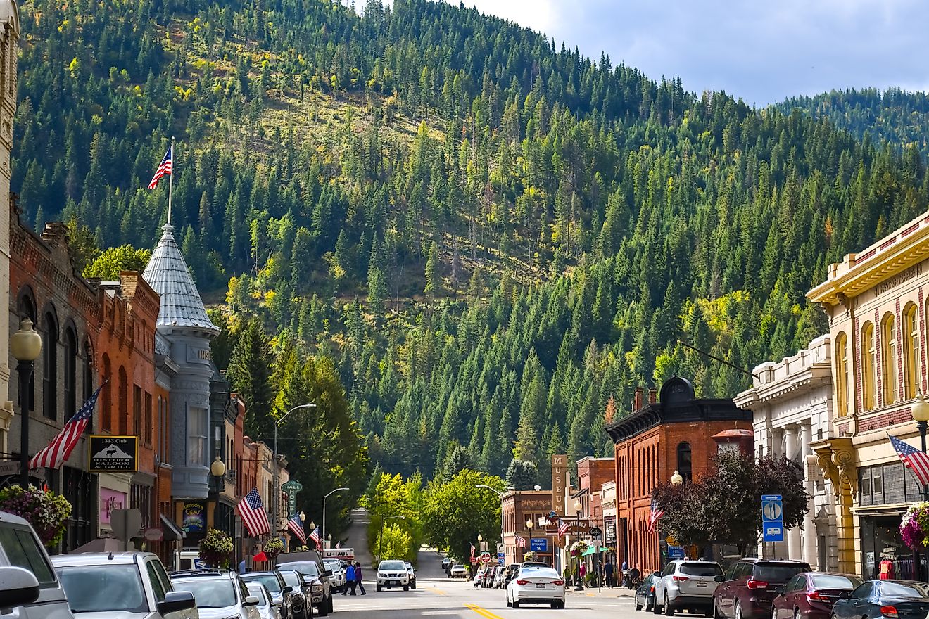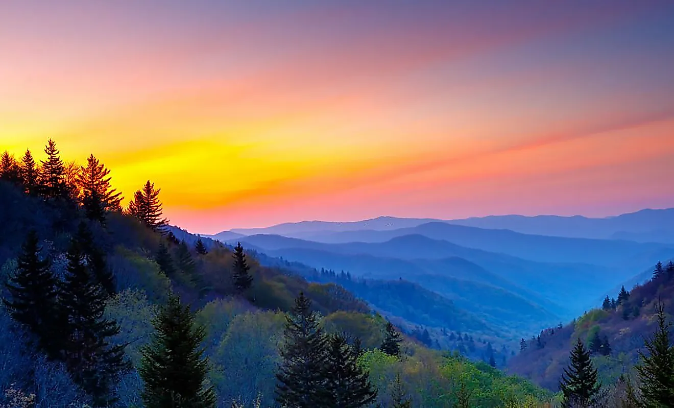
7 Most Scenic Drives in Colorado
Colorado’s most scenic drives climb above 12,000-foot passes, follow rivers like the Colorado and Cache la Poudre, and cross terrain shaped by glaciers and the Continental Divide. On routes like Independence Pass and Trail Ridge Road, the elevation alone changes the landscape dramatically, shifting from dense pine forest to exposed alpine tundra in a matter of miles. Elsewhere, drives like Glenwood Canyon and the San Juan Scenic and Historic Byway trade high summits for red-rock walls and steep switchbacks carved into rugged slopes. The seven routes featured here stand out for their stunning scenery that makes the drive itself the main attraction.
Independence Pass

One of the highest paved mountain passes in the United States, this highway is defined by its sharp curves and narrow sections, as well as its wildflowers, thick forests, and frequent wildlife sightings. This portion of the highway is also incorporated into the Top of the Rockies Scenic and Historic Byway and provides several mountain views and lookout spots.

Starting in Twin Lakes and ending in Aspen, this stretch also crosses the Continental Divide between Leadville and Aspen. Independence Pass sits at the summit of the Continental Divide, at an elevation of 12,095 feet. Twin Lakes is the perfect beginning to this journey, as it provides travelers with views of gorgeous open waters. You’ll climb steadily through alpine forests before reaching the summit, complete with dramatic, rocky ridgelines. When descending into Aspen, you’ll notice tight but scenic switchbacks.
This Colorado mountain pass is typically open from late May to late October, and usually consists of light to moderate traffic. This is another stretch with narrow lanes and steep, winding sections with limited guardrails; caution is advised when driving. If you’re planning a trip to Independence Pass, keep in mind that commercial and recreational vehicles 35 feet or longer are prohibited.
San Juan Scenic and Historic Byway

Bound by steep alpine passes, deep valleys, and the San Juan mountains terrain, this 236-mile loop is commonly started in Durango before gradually climbing into the San Juan mountains and driving into Silverton, Ouray, Ridgway, Telluride, Cortez, and eventually ending again in Durango. Complete with red rock canyons and evergreen forests, this scenic drive even includes the famous “Million Dollar Highway” stretch. From Silverton to Ouray, visitors will take in high-alpine scenery, sheer drops, and dramatic switchbacks. Once on the CO-62 to Ridgway, endless valley views will come into sight, followed by forested stretches and open meadows once on CO-145 to Telluride. The Cortez section hosts a transition into high desert terrain.

This stretch of highway is best in late June to September. Passes can close in the winter, so be sure to plan your trip and make inquiries ahead of time. Snow and ice are also common at higher elevations at any time of the year. This route usually sees light to moderate traffic, with the exception of peak summer, when volumes increase. Afternoon thunderstorms are also common in the summer. Although this drive can be done in a day, it’s not uncommon for travelers to create a 2-3 day road trip out of it.
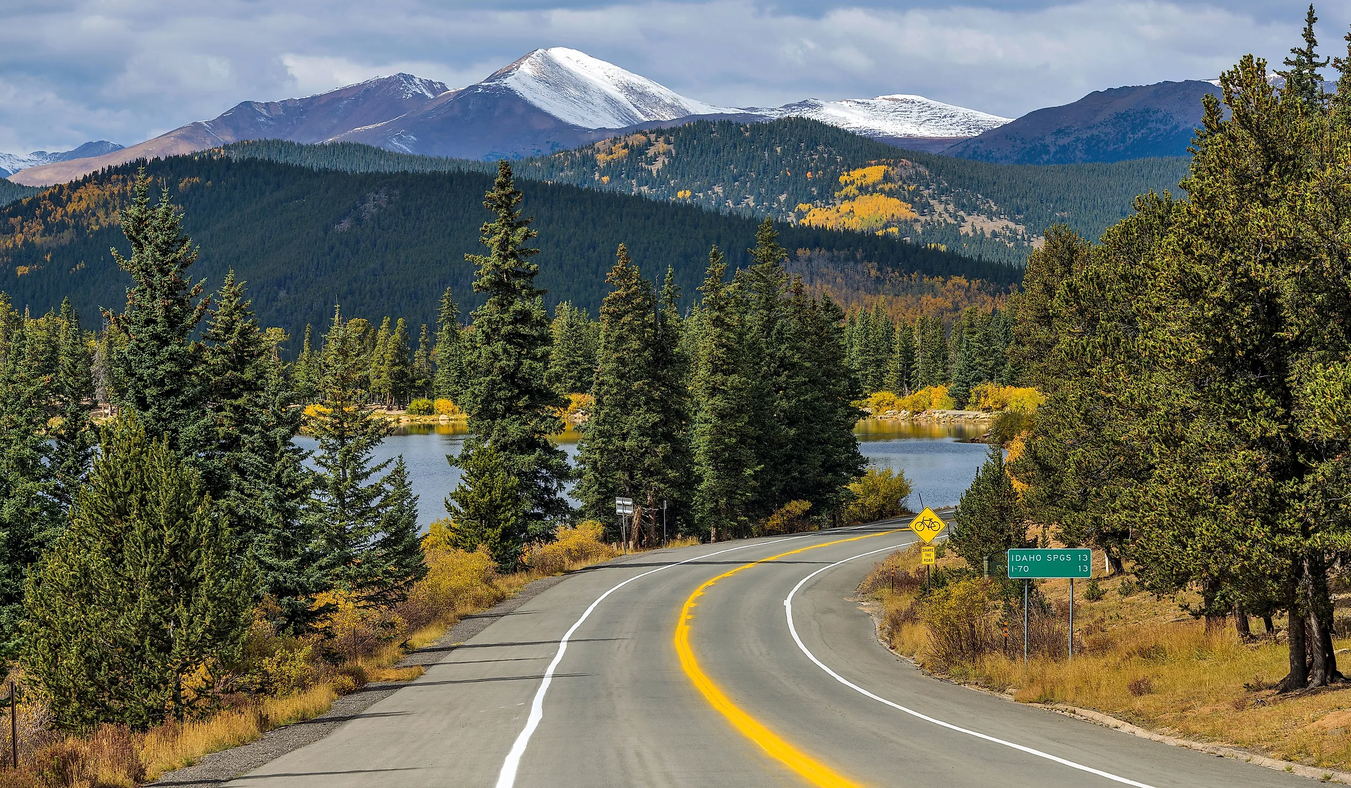
Trail Ridge Road

Beginning in Estes Park, crossing Rocky Mountain National Park, and ending in Grand Lake, Trail Ridge Road is the highest continuous paved road in the United States. With a summit elevation of over 12,000 feet and panoramic views of the Continental Divide, this alpine landscape features glacier-carved canyons above the treeline, foliage that dazzles in the fall, and wildflowers covering the rolling tundra in mid-summer.
Near Estes Park, the road gradually ascends from forested valleys before transitioning from dense pine forest to exposed alpine tundra. There are multiple pull-offs along this road that offer sweeping valley views, as well as wildlife that’s often visible near roadside meadows, like elk and bighorn sheep.
This scenic Colorado drive is only open seasonally, usually from late May through October, depending on snowfall. Summer days and weekends are busiest, with moderate traffic, especially between 9 am-3 pm. Be sure to book ahead, as you’ll need timed admission to enter Rocky Mountain National Park between May and October. Additionally, when planning for weather, keep in mind that rapid weather changes are common due to the level of elevation.
In 1996, Trail Ridge Road was designated as an All-American Road by the U.S. Secretary of Transportation. This is the highest level of federal recognition for highways in the United States.
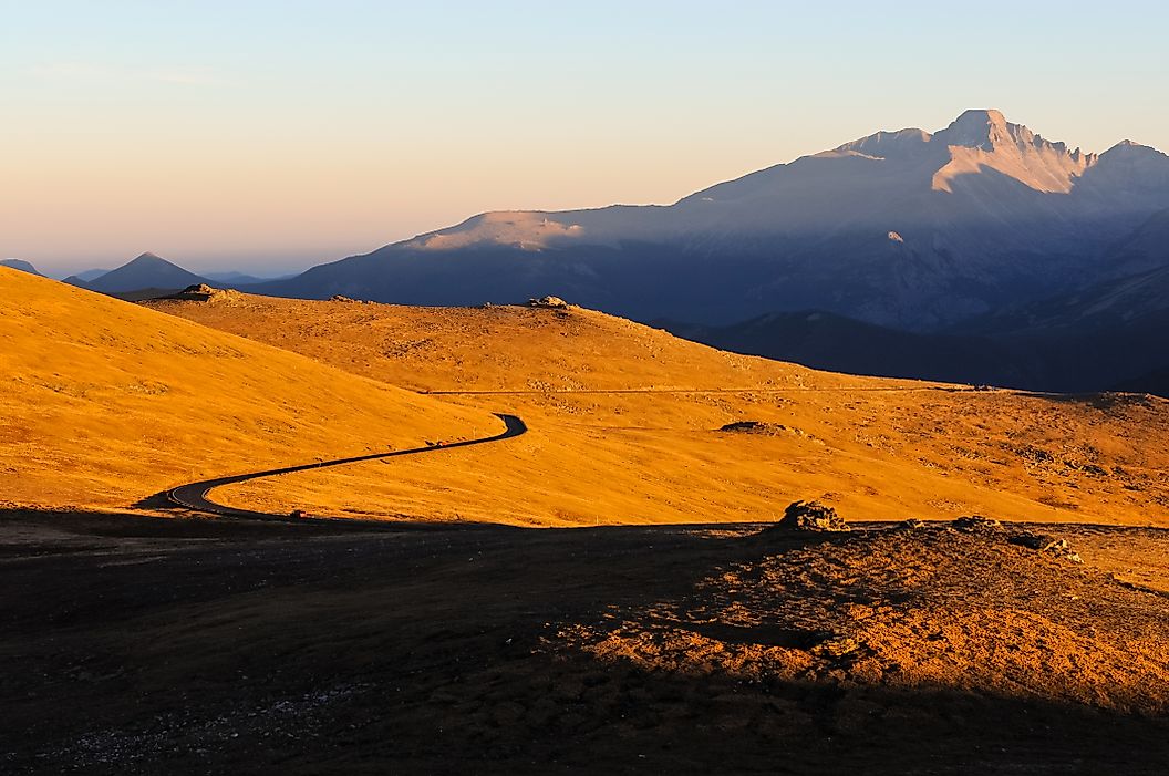
Mount Blue Sky Scenic Byway (Formerly Mount Evans)

From its start in Idaho Springs to its end at the summit of Mount Blue Sky, this byway is one of North America’s highest paved roads and offers expansive views of the Front Range at its peak.
Starting out, travelers will experience a gradual climb of over 7,000 feet in just 28 miles. Above the treeline, you’ll catch views of exposed rock and enormous granite walls, as well as alpine lakes visible below. The final stretch of this drive features a narrow, winding summit approach, with dramatic switchbacks and limited guardrails, so cautious driving is required.

Mount Blue Sky Scenic Byway is open seasonally, generally from Memorial Day to Labour Day. While only two-wheel drive is required, vehicles of 30 feet or longer are discouraged due to the twisty, tight nature of the road. Additionally, the weather at this elevation can be volatile, so expect thunderstorms, wind, lightning, rain, snow, or hail on any day of the year. Combined with the sharp backswitches and disappearing guardrails, these conditions require drivers to proceed along this route with caution. The best time to travel the byway to avoid traffic is weekdays and mornings.
Peak to Peak Scenic Byway

From its start in Estes Park to its completion in the north end of Black Hawk, this beautiful scenic byway is the oldest of its kind in Colorado, established in 1918. This trip will take you north up the route, with continuous views of the Continental Divide and passing views of Golden Gate Canyon State Park and Indian Peaks Wilderness Area, as well as Arapaho and Roosevelt National Forests.

Forested stretches dominate the early portion of the drive before opening into expansive mountain views near Ward. From Ward to Nederland, rolling terrain gives way to a gradual descent into the historic mining country of Central City. There are several notable stops along this journey, including Lily Lake, Wild Basin, Allenspark, Ward, Nederland, and, for any casino-lovers, Black Hawk.
While this byway is open year-round, it’s also weather-dependent. It attracts travellers in the fall and winter, when most people enjoy taking in the magic of the fall foliage and snow-covered landscapes. The road surface is well-maintained, and traffic has been noted to be moderate on weekends.
Glenwood Canyon Scenic Byway

The shortest scenic drive on our list, this interstate is stunningly carved through towering canyon walls and runs parallel to the Colorado River. Starting in Glenwood Springs and ending in Dotsero, it features limestone and dramatic rock formations. There are three tunnels on this route, with each of the east and west-bound Hanging Lake tunnels sitting at 4,000 feet in length. This impressively engineered route also boasts 15 miles of retaining walls to hold the road in place and over 40 bridges.

You’ll enter the narrow canyon east of Glenwood Springs before experiencing elevated highway sections overlooking the river. The beautiful terrain allows for several scenic rest areas and canyon overlooks, perfect for stretching your legs or enjoying a picnic lunch. Notable rest stops along this stretch include No Name, Grizzly Creek, Hanging Lake, and Bair Ranch. As you approach Dotsero, you’ll notice a gradual widening of the road.
Caution should still be taken when driving, as there are occasional rockfalls and weather closures. While this is a relatively easy drive, there is known to be moderate to heavy traffic.
Cache la Poudre Scenic Byway

This route takes travelers on a journey from Fort Collins to Walden, and follows the crystal-clear Cache la Poudre River through a dramatic canyon. While the route is less crowded than other scenic Colorado drives, it is heavily populated with local wildlife, including deer, antelope, elk, moose, beavers, bighorn sheep, and coyotes. This route was originally used by Indigenous settlers before being used by European explorers, but its high mountain valley will still leave you breathless today. The byway progresses uphill and tops out at Cameron Pass, where views stretch down into the basin of North Park, surrounded by some of the state’s most beautiful mountain ranges.

Your drive will begin in the foothills of Fort Collins, with the river visible for long stretches. You’ll experience a gradual climb toward the North Park basin near Walden, complete with winding roads and rock cliffs overhead. After, you’ll join CO-14 in Bellvue, where the highway proceeds up the rugged Cache la Poudre River Canyon. The terrain and views on this stretch alternate between the chaos of the canyon and the serenity of open pastures and meadows.
This journey is best taken in late Spring through Fall, but keep in mind there could be possible Spring runoff impacts. The paved roads are suitable for most vehicles, and the traffic is generally light.
Climbing above treelines, tracing river corridors, and crossing continental watersheds. Colorado’s most scenic drives are engineered responses to extreme, yet beautiful, terrain. The geographic transitions that unfold on these journeys in real time distinguish these routes from any other highways in the United States. In a state where mountain access is part of daily life, these highways remain the easiest and clearest way to experience the true majesty of them without even having to leave your vehicle.