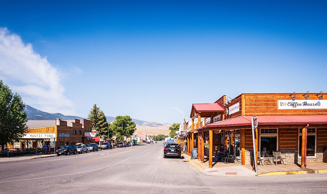
7 Best Small Towns To Visit In the Gulf Coast
The Gulf Coast runs through Florida, Alabama, and Mississippi. It continues into Louisiana and Texas. Major cities pull most of the attention while the beach towns between them run on a different rhythm. Seven stops below stretch along that coast with their own anchors. Cedar Key has its fishing-village layout intact. Grand Isle holds the state's only inhabited barrier island.
Cedar Key

Cedar Key sits on Florida's Nature Coast about 60 miles west of Gainesville, an island fishing community of around 700 people that has resisted highrise development for more than a century. The downtown wraps a working dock with restaurants serving clams pulled the same morning from the surrounding flats. Cedar Keys National Wildlife Refuge protects thirteen offshore islands a short boat trip from town, with more than 20,000 nesting waterbirds in the colony (herons, egrets, brown pelicans, and reddish egrets). The Cedar Key Museum State Park preserves 18 acres of historic property including the home of pioneer naturalist St. Clair Whitman. Time the visit to April's Old Florida Celebration of the Arts or October's Seafood Festival to see the community at full volume.
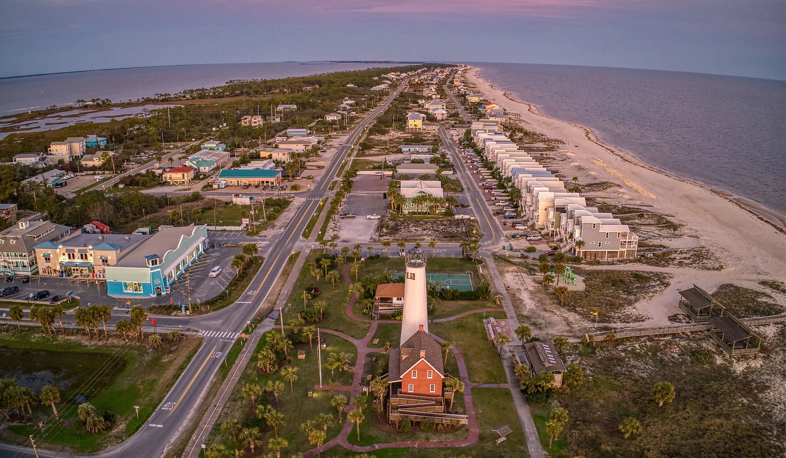
St. George Island

St. George Island stretches twenty-two miles along Florida's Forgotten Coast in Franklin County, a barrier island linked to the mainland by the four-mile Bryant Patton Bridge. Dr. Julian G. Bruce St. George Island State Park covers the eastern nine miles of the island with what is consistently ranked the longest stretch of undeveloped beachfront in any Florida state park. Sea turtles nest along the shoreline from May through October, and the park operates a kayak and canoe launch on the bay side. The Cape St. George Lighthouse originally stood on Little St. George Island, the offshore barrier where coastal erosion finally toppled it into the Gulf in 2005. The community salvaged the original bricks and rebuilt the structure in 2008 in the heart of St. George Island, with regular sunset and full-moon climbs scheduled most weekends.
Dauphin Island

Dauphin Island sits 30 miles south of Mobile at Alabama's only Gulf coast access, a 14-mile barrier island with about 1,200 residents and a long history of military and ecological importance. Fort Gaines guards the eastern tip of the island as a five-sided masonry fort completed in 1861, where Admiral Farragut's August 1864 fleet famously ran past the Confederate guns at the Battle of Mobile Bay. The fort sits on the National Trust's list of America's Most Endangered Historic Places due to ongoing shoreline erosion. The Audubon Bird Sanctuary covers 164 acres of maritime forest on the eastern half of the island, recognized as one of the top neotropical migration landfalls in North America when spring weather pushes warblers and tanagers across the Gulf. The Estuarium at the Dauphin Island Sea Lab puts local marine ecology on display through aquaria and interpretive exhibits at the south end of the island.
Bay St. Louis

Bay St. Louis sits on the western end of Mississippi's coast in Hancock County, originally part of a 1789 Spanish land grant and incorporated as a town in 1882. Beach Boulevard runs the waterfront with Old Town a block inland. The historic district carries 19th-century commercial buildings including the Hancock Bank Building from 1899 and the Old City Hall fronted by the Shoofly Oak, a live oak with a circular bench wrapping its base. The Alice Moseley Folk Art Museum occupies the old train depot and operates free of charge, showing the work of a self-taught folk artist who started painting at age 65 and produced most of her catalogue in the following two decades. Second Saturday Art Walks each month put galleries and shops on the same evening calendar with live music from local players.
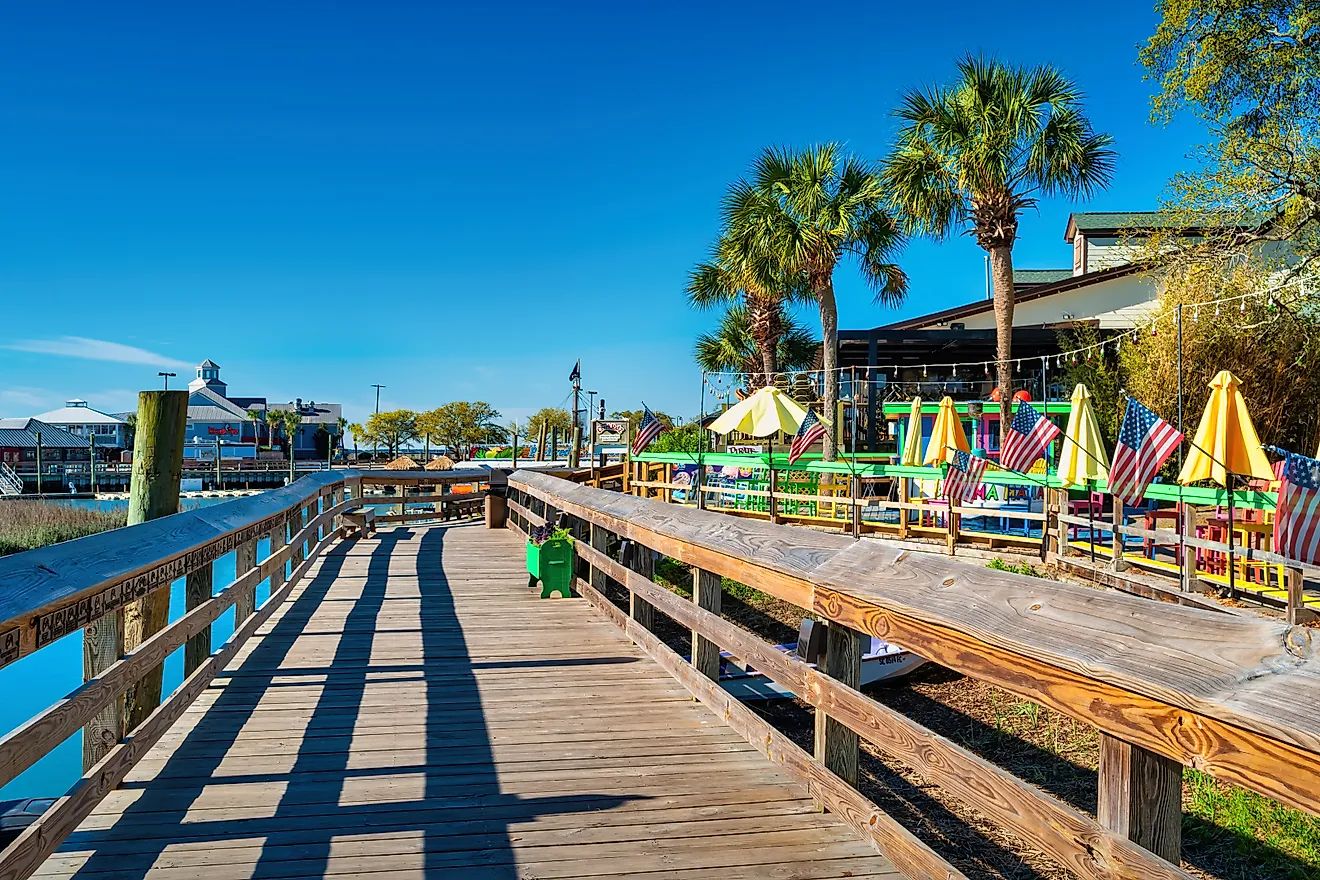
Port Aransas

Port Aransas is the only town on Mustang Island, a 20-mile barrier island off the Texas coast in Nueces County. The community calls itself the Fishing Capital of Texas, supported by deep-sea charters that run out of the port for kingfish, red snapper, and the tarpon that gave the town its original name of Tarpon. The Roberts Point Park boardwalk and beach access put fishing piers and dolphins-in-the-channel views within walking distance of downtown restaurants. Mustang Island State Park covers five miles of undeveloped beach at the south end of the island. The Port Aransas Birding Center operates wetland boardwalks at the Joan and Scott Holt Paradise Pond, a known spring-migration landfall for warblers and buntings crossing the Gulf.
Rockport

Rockport occupies the eastern coast of Texas in Aransas County near Corpus Christi, founded after the Civil War as a port for cattle shipping with a name taken from the limestone reef under its shoreline. The town serves as the gateway to the Aransas National Wildlife Refuge, the primary wintering ground of the endangered whooping crane, which arrives between October and April each year. Rockport Beach holds the only Blue Wave-certified beach designation in Texas. The Texas Maritime Museum tracks Gulf history through ship models and recovered artifacts, and the Fulton Mansion State Historic Site preserves an 1877 French Second Empire home built by cattle baron George Fulton with one of the earliest residential central heating systems in Texas. The Rockport Art Festival has run every July since 1969, drawing more than 100 artist vendors to Memorial Park.
Grand Isle

Grand Isle sits at the south end of Louisiana Highway 1 in Jefferson Parish, the state's only inhabited barrier island, stretching about seven miles along the Gulf. Hurricane Ida made landfall directly on the island in August 2021 with sustained winds of 150 mph, damaging or destroying most structures, and rebuilding has continued through subsequent storms. Grand Isle Beach runs a public-access seven-mile stretch, and Grand Isle State Park anchors the eastern end with a 400-foot fishing pier and 14 RV sites. Kate Chopin set The Awakening here in 1899, drawing on the island's late-Victorian resort era when it served as a beach escape for New Orleans society. The Migratory Bird Festival each April marks peak neotropical migration when warblers, tanagers, and orioles make landfall after their Gulf crossing.
The Gulf Coast Beach Towns
The seven towns above each split their coastlines differently. Cedar Key relies on its fishing-village layout. St. George Island leans on the longest undeveloped state-park beach in Florida. Dauphin Island carries a Civil War fort and a major migration corridor. Bay St. Louis runs the Spanish-grant downtown angle. Port Aransas works the deep-sea fishing reputation. Rockport gets the whooping cranes. Grand Isle holds the last inhabited barrier island in Louisiana and rebuilds after every storm.