Which States Border Massachusetts?
Massachusetts is an American state located on the northeastern part of the country. During the pre-colonial period, several Native American communities lived where it is now the state of Massachusetts. Such communities included the Massachusett, after whom the state is named, the Mahican, and the Nipmuc among others. The arrival of the Europeans in the region greatly influenced the shape of the state's borders. The Pilgrims were the first group of Europeans to settle in Massachusetts, and their colony at Plymouth was the second successful attempt at establishing a permanent colony in the present-day United States. In the modern era, Massachusetts shares its borders with five states, and they are Rhode Island, New Hampshire, Vermont, New York, and Connecticut.
States Bordering Massachusetts
Rhode Island
The border that separates Massachusetts from Rhode Island is located in the southern edge of Massachusetts. Most of the boundary between Massachusetts and Rhode Island is a relatively straight line except in its western edge where it meanders. Massachusetts and Rhode Island were involved in a border dispute since the colonial era. During the nineteenth century, the case was presented to the Supreme Court for deliberation. A section of Rhode Island's territory was given to Massachusetts in exchange for land that would later become Pawtucket City. Some of the major cities located on the Massachusetts side of the border include Franklin and Milford. Towns located on the Rhode Island side of the border include Pawtucket, Cumberland, and East Providence. Pawtucket is one of Rhode Island's largest cities and in 2010 it was home to about 71,148 people. Pawtucket is also considered one of the most historic towns in Rhode Island. During the 19th century, Pawtucket was made up of two cities, east and west Pawtucket, which were finally combined in 1886.
New Hampshire
Massachusetts and New Hampshire are separated by a border located on the northern part of Massachusetts. During the colonial period when both were provinces, Massachusetts and New Hampshire had a dispute over the position of their boundary. The leaders of the two provinces disagreed on the wording of an agreement that had set up the boundaries between the provinces. The leaders of Massachusetts believed that their territory extended into New Hampshire's territory. On the other hand, the leaders of New Hampshire believed that the boundary should be located three miles north of the mouth of the Merrimack River. The leaders of New Hampshire presented their case to King George who delivered a verdict in 1740. King George's verdict favored New Hampshire as it awarded the province more land than it had previously claimed. Presently, some of the towns located on the New Hampshire side of the border include Winchester, Greenville, and Hudson. Cities located on the Massachusetts side of the border include Athol, Lowell, and Lawrence.
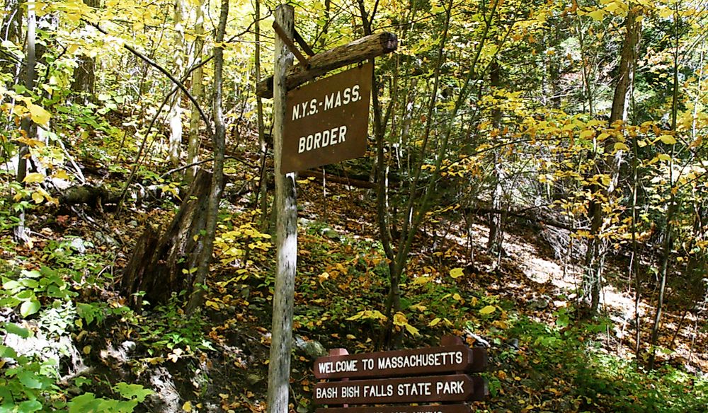
New York
Massachusetts shares its entire western border with New York. There are several cities located on the Massachusetts side of the border such as Williamstown, Pittsfield, and Lenox. Some of the towns located on the New York side of the border include Hoosick Falls and Millerton. Hoosick Falls is a relatively small town in New York and it was home to 3,501 people in 2010. The highest population that the town has ever recorded during 1900 was 7,000 people. The town is considered one of the most historic places in the US. One of the most famous painters in the US, Grandma Moses, was buried in the town. Millerton is another famous town in New York and it was named after Sidney Miller, a famous railroad contractor in the area. The town was formed in 1851 and incorporated in 1875. Massachusetts and New York have a complicated relationship because they compete in the field of business. A report by Reason indicated that a large number of New Yorkers moved to Massachusetts to take advantage of the lower taxes. Several significant businesses have also moved from New York to Massachusetts. The state of New York has attempted to keep businesses in the state by introducing business-friendly policies.
Connecticut
Massachusetts shares most of its southern border with Connecticut. The border is a relatively straight line except for a small section that curves into Connecticut. The area that caused disagreements between Massachusetts and Connecticut was Southwick Jog and is one of the unique areas in the US. During the 17th century, the area was home to a farming community. The government of Massachusetts employed two men, Solomon Saffrey and Nathaniel Woodward, to determine the position of its southern border. The two men made a mistake in locating the position of the border, and the mistake caused a discrepancy of roughly 7 miles in some areas. The error caused a dispute between Massachusetts and Connecticut. In 1702, the dispute between Connecticut and Massachusetts was presented to the government of England. The English government resolved the issue during the late 18th century. One of the significant towns located on the Massachusetts side of the border is Springfield. In 2017, Springfield was home to about 154,758 people. The town is the seat of Hampden County. One of the famous towns on the Connecticut side of the border is Canaan. In 2000, it was estimated that the town was home to 1,081 people.
Vermont
Massachusetts has the smallest section of its northern boundary with Vermont. The boundary between the two states follows a relatively straight line. One of the significant towns located on the Massachusetts side of the border is Greenfield. The city was first settled in the 17th century making it one of Massachusetts' oldest cities. In 1811, the city was chosen as the seat of Franklin County. Another major town on the Massachusetts side of the border is Webster. In 2010, the city was home to about 16,767 people. Some of the major cities in Vermont located close to the border include Bennington and Brattleboro.
The Importance of Massachusetts's Borders
The borders of Massachusetts are significant as they reflect a vital part of the state's history. The borders are also significant as they show the limits of the jurisdiction of the Massachusetts government.


