Maps of Rhode Island

Rhode Island, nicknamed 'The Ocean State,' is located in the northeastern United States, within the New England region. Despite, the name, Rhode Island is not actually an island. It borders Massachusetts to the north and east, and Connecticut to the west. To the south, it shares a water boundary with New York and has a coastline along the Atlantic Ocean, extending through Block Island Sound and Rhode Island Sound.
Providence is both the state’s capital and most populous city, home to roughly 190,000 people.
Roger Williams, an English-born New England minister, was the first European to settle in Rhode Island in 1636, establishing it as a haven of religious freedom. Over a century later, in 1790, Rhode Island ratified the U.S. Constitution, becoming the thirteenth state to join the United States.
Area
Rhode Island has a total area of 1,545 square miles (4,002 square kilometers). Approximately a third of this area is water (511 square miles or 1,323 square kilometers), which perhaps explains the state’s nickname as “The Ocean State.” Comparatively, Rhode Island is nearly 10 times smaller than Belgium and three and a half times smaller than Jamaica. New York City would fit into the state four times.
Bodies of Water
Rhode Island boasts approximately 1,392 miles (2,240 kilometers) of rivers, with less than 8% designated as wild and scenic. Most lakes, ponds, and streams in the state flow into three major rivers: the Pawcatuck, Pawtuxet, and Blackstone. The Wood-Pawcatuck Rivers Watershed, located in southwestern Rhode Island, is particularly significant due to its proximity to major cities, providing open spaces and recreational areas for nearby residents.
Geographic Features and Regions
Rhode Island has around 400 miles of coastline and numerous oceanfront beaches, including seven state-managed ones such as Misquamicut State Beach, East Matunuck State Beach, and Scarborough State Beaches. The state consists of two natural regions, which include the Coastal Lowlands and the New England Uplands.
Coastal Lowlands
The Coastal Lowlands spread from southern to eastern Rhode Island and include the islands in the Narragansett Bay and Block Island. Sandy beaches and lagoons characterize the area, becoming forested westward of the bay.
New England Uplands
Although the majority of the state is fairly flat, the New England Uplands, in the state’s northwestern corner, are hilly, accompanied by lakes and ponds. The highest point in Rhode Island is located in the New England Uplands, at 812 feet (247 meters).
Counties Map
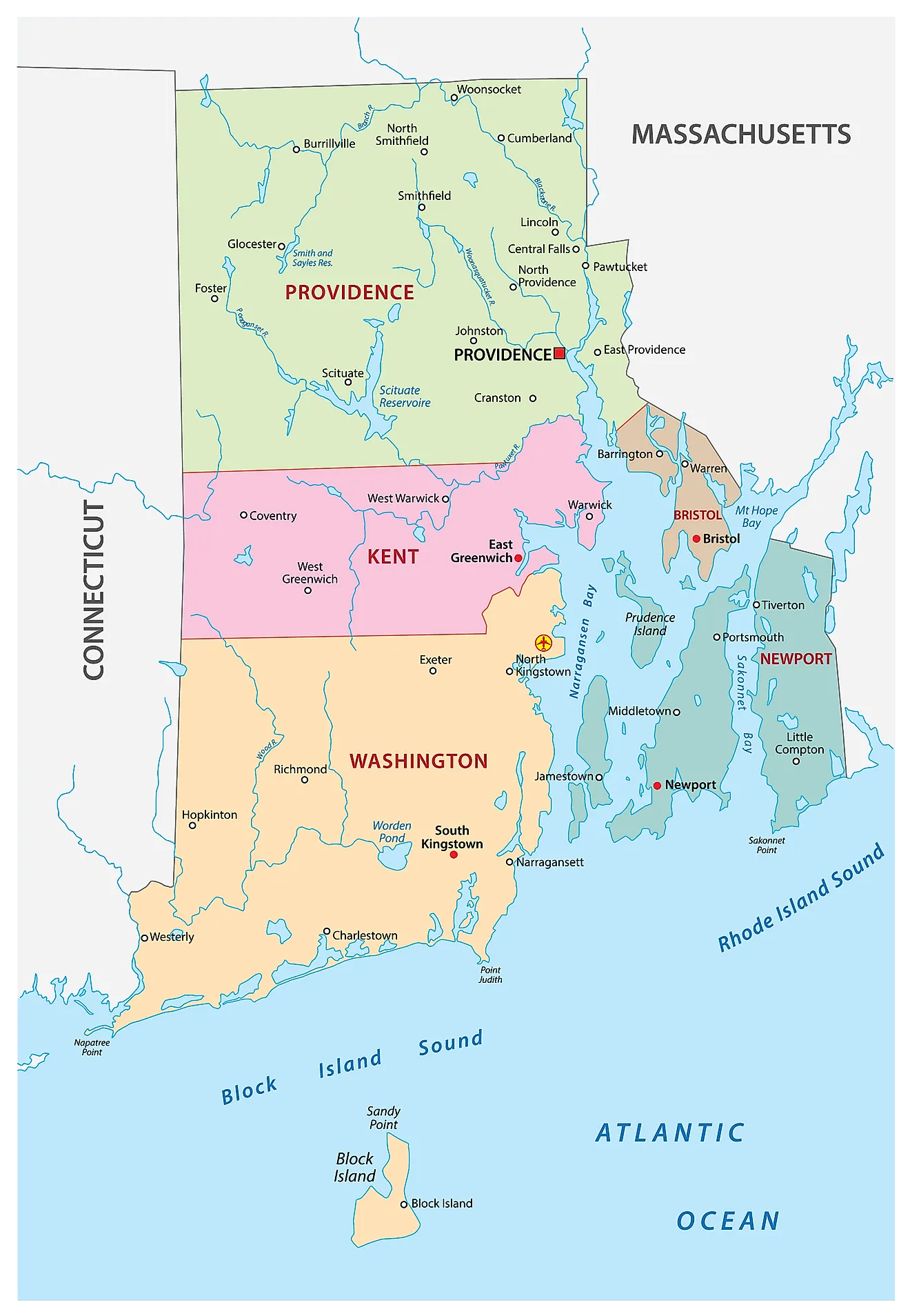
The State of Rhode Island is divided into 5 counties. In alphabetical order, these counties are: Bristol, Kent, Newport, Providence, Washington.
With an area of only 3,144 sq. km, Rhode Island is the smallest and the 7th least populous state in the USA. Located in Providence County, near the Narragansett Bay at the mouth of the Providence River is Providence – the capital, the largest, and the most populous city of Rhode Island. It is one of the oldest cities in America. The capital city serves as a major seaport and is also one of the New England’s financial, commercial and industrial centers as well as the largest jewelry manufacturers in the United States.
Where is Rhode Island?
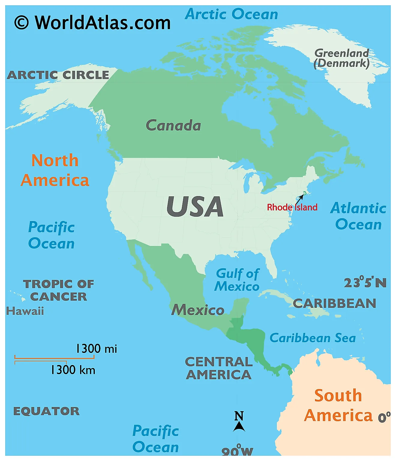
The State of Rhode Island is located in the northeastern (New England) region of the United States. Rhode Island is bordered by Connecticut in the west; by Massachusetts in the north and east; and by Block Island Sound and Rhode Island Sound (both extensions of the Atlantic Ocean) in the south. Rhode Island also shares its maritime border with the State of New York, between Long Island and Block Island.
Regional Maps: Map of North America
Outline Map of Rhode Island
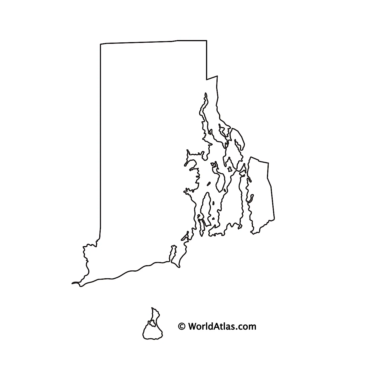
The above blank map represents the State of Rhode Island, located in the northeastern (New England) region of the United States. The above map can be downloaded, printed and used for geography education purposes like map-pointing and coloring activities.
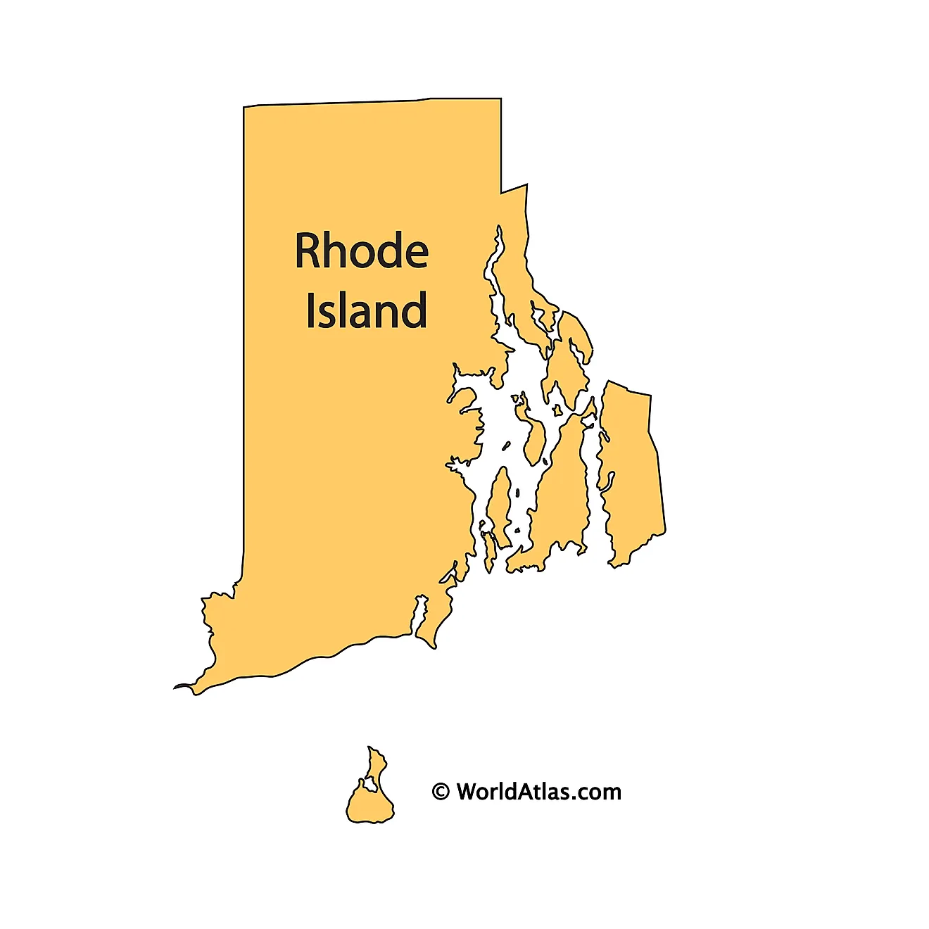
The above outline map represents the State of Rhode Island, located in the northeastern (New England) region of the United States. Rhode Island has been nicknamed as the "Ocean State", in reference to the large bays and inlets, that accounts for over 14% of the state’s total area.
Key Facts
| Legal Name | State of Rhode Island |
|---|---|
| ISO 3166 Code | US-RI |
| Capital City | Providence |
| Largest City |
Providence (1,204,578) |
This page was last updated on July 29, 2024
