Which States Border Idaho?
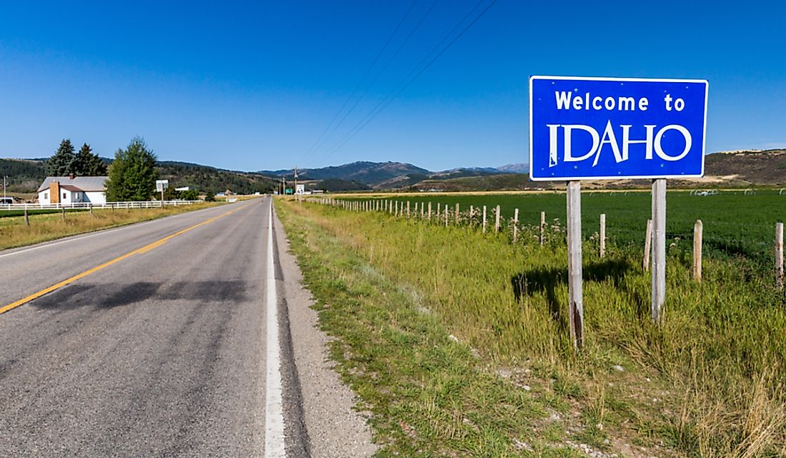
The state of Idaho is located in the northwestern part of the United States, and it joined the Union in July 1890 as the 43rd state. It is ranked 14th in terms of size and stretches to cover an area of 83,560 square miles. Before the arrival of the Europeans, the region which is currently Idaho was home to Native Americans, and in the 19th Century, Idaho was part of the Oregon Country, which was an area disputed between the US and the UK. Idaho became a territory of the US following the signing of the Oregon Treaty in 1864. The state of Idaho borders five other states: Nevada, Oregon, Washington, Montana, Wyoming, and Utah. The state's border with Nevada and Utah lie on the 42nd parallel. The Canadian province of British Columbia lies on the 49th parallel of north latitude. Both the northern and southern borders were established through treaty.
Idaho-Oregon Border
In the early 1800s, the territory of Oregon comprised a vast area that is currently occupied by various states including Idaho, Washington, Wyoming, and Montana. At the time both the United States and the British laid claim to the territory. Between 1818 and 1846, both powers continued to lay claim to the Oregon Country with each trying to gain strategic acres to the Puget Harbor and navigation to the Columbia River. Increasing American settlement in the 1840s in the disputed area, especially in the Willamette Valley, pressured British claims. In 1846, the British and the United States agreed to a treaty that gave the territory from the 42nd to the 49th parallel to the United States with the border to the east reaching the Continental divide. Increased settlement in the Puget Sound region, Willamette Valley, and Rogue Valley led to concerns that the territory was continually becoming harder to govern. The state of Washington was therefore curved out to the north of the Oregon territory. The government then made treaties with the Native Americas that allowed for their relocation to reservations between the 1850s and 1860s thus giving way for more land for white resettlement. The state of Oregon with is current boundaries with Idaho was granted statehood in 1859.
Idaho-Washington Border
The vast new Washington territory was later revised in 1863 leading to the creation of the state of Idaho and later the states of Montana and Wyoming. The creation of Larger Idaho was as a result of a petition to Congress to have a separate territory. Two versions of the boundaries were presented to Congress by two political rivals Lieutenant John Mullan and William H. Wallace. Mullan’s proposal suggested the inclusion of the present day Idaho panhandle and parts of Montana in Washington leaving present-day Wyoming and southern Idaho as the new Idaho Territory. Mullan's proposal was primarily driven by self-interest as the adoption of his proposal would lead to the establishment of Walla Walla where he owned land as the new capital. The proposal by Wallace, who was Washington’s territorial delegate to Congress and a resident of Puget Sound, wanted the capital retained in Olympia. The proposal by Wallace was adopted by Congress with its borders including present-day Montana and Wyoming. On March 4, 1863, it was signed by President Lincoln, and Mullan also hoped to become the governor of Idaho but was once again beaten to the position by Wallace who had close ties with President Lincoln. Wallace was appointed as the first governor of Idaho by President Lincoln on March 10 the same year. Washington became a state in 1889 while Idaho became a state in 1890.
Idaho-Utah and Idaho-Nevada Borders
Between 1849 and 1850, the southeastern part of Idaho was part of the larger Provincial state of Deseret which had been established by the Mormons. The Mormon territory was not favorable to Congress and was therefore chipped away giving some of its portions of the proposed state to Idaho and present-day Utah. The southern border with the state of Nevada was established through a treaty between Spain and the United States in 1819.
Idaho-Montana Border
The establishment of the border with Montana is surrounded by intriguing myths and stories which try to explain the unique Loggers boot shape of the state of Idaho and the resulting Panhandle in Idaho which has an oddly short border with Canada compared to the states of Washington and Montana. The state's shape was as a result of the formation of the state of Montana. After Montana began as a separate entity from Idaho in 1864, some of the myths that came up after the border’s creation include one that claims that the Idaho-Montana border was supposed to be at the Continental divide which is further east and not at the Bitter Root Range. It is claimed that the surveyors responsible for the border got lost partly due to the ruggedness of the Bitter Root Range, and when they got to the border with Canada they realized the mistake. Correcting the mistake was thought to be too daunting a task so they decided to leave the border. More forgiving myths claim that the surveyors were using faulty equipment leading to the error that resulted in a much bigger Montana and a smaller Idaho.
Contrary to these myths, the border was established by the 38th congress with the border at the Bitter Root Mountain Range. Congress established that the border would follow the crest of the Rocky Mountains northwards to the Bitterroot Mountain Range and follow the crest to the intersection with the 39th longitude and then north to the boundary with British territory which is present-day Canada. It is claimed that the residents of Idaho were not aware of the border until after its creation. The nature of the border and territory of Montana is largely credited to Sidney Edgerton who was the congressman in Ohio. The influential congressman who was a friend with President Lincoln had been sent to Idaho to oversee the creation of a government in the newly formed state. He received suggestions that the mountain rage was impassable during winter and thus the territory should be divided. The later went back to Washington with the proposal which resulted in the creation of the Idaho-Montana border.
Economy of Idaho
In 2015, the state of Idaho had a gross state product of about $64.9 billion and a GDP per capita income of $39,100. The state is an important producer of agricultural products and produces about a third of all potatoes produced in the US. All the three major varieties of wheat are grown in Idaho, and the county of Nez Perce is the leading producer of white wheat.


