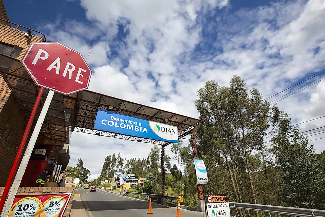
Which Countries Border Colombia?

Colombia is a 440,831 square mile South American nation that is home to around 49,755,971 people. Colombia is a geographically diverse nation with six distinct natural regions. 55,089.9 square miles of Colombia's territory is composed of protected areas. Having large tracts of protected land contributes to the lower rate of deforestation compared to other nations.
Colombia is one of the most biologically diverse nations globally as it has the most significant numbers of bird species of any country. Nearly 20% of the world's plant species can be found in Colombia. Humans have lived within Colombia's borders for several centuries with many pre-historic sites being discovered such as the Pubenza site which is among Colombia's oldest sites. Various communities passed through Colombia's territory during their migration. Colombia was one of the regions in South America conquered by the Spanish, and in 1810 the nation declared their independence from Spain. Colombia also has a diverse ethnic and cultural heritage due to the diversity of the population. Colombia shares a land border with five nations and a maritime border with six countries. The region's history significantly impacted the shape of Colombia's borders.
Panama
Colombia and Panama are separated by a 139-mile long border that also serves as the boundary that separates South and Central America. A section of the border which is 66 miles long is referred to as the Darien Gap. The section stretches from Panama to Colombia and is underdeveloped since it is a swampland. The history of the border between the two nations goes back to 1508 when a royal decree was issued to use the River Atrato to separate two colonial governorships. The present-day boundary between the two countries was determined in 1924 after the foreign ministers from Colombia and Panama signed the Victoria-Velez Treaty.
Venezuela
Colombia's longest boundary is the one it shares with Venezuela which is approximately 1,378 miles long. Incidentally, the boundary is also Venezuela's longest land border. The boundary between the two nations was established by two treaties the earliest of which, the Spanish Award of Queen Maria Cristina, was signed in 1891. The final agreement, the Treaty of Limits and River Navigation, was signed in 1941. The two countries are engaged in a dispute over the border along the Gulf of Venezuela. The issue causes diplomatic difficulties between the two nations. There are a couple of cities along the border in both countries such as Tibú and Maicao in Colombia as well as Puerto Páez and La Fría in Venezuela. Many rivers are also found along the border such as the Rio Negro which drains into the Amazon River.
Brazil
Brazil and Colombia are separated by a boundary that stretches for approximately 1022 miles long. The history of the border goes back to 1907 when the first agreement, the Vásquez Cobo-Martins treaty, was signed. The settlement relied on the Rio Negro as well as some other rivers to determine the boundary between the two nations. The second treaty was signed in 1928 mainly to establish the limits within the Apaporis-Amazon area. The Brazil-Colombian border plays a significant part in the narcotics trade primarily in the transport of cocaine. The two nations work together to bring an end to the movement of drugs along their border. There are several towns along the border in both countries such as Vila Bittencourt in Brazil as well as La Guadalupe in Colombia.
Ecuador
Ecuador and Colombia share both a land and a maritime border. The land border between the two nations stretches for approximately 365 miles and passes through the Güepí River. The present-day border between Ecuador and Colombia is significantly smaller than the historical border between the two nations because in 1831 the state of Great Colombia collapsed. The modern boundary between Colombia and Ecuador was established in 1916 after both nations signed the Muñoz-Suárez Vernaza Treaty. Ecuador and Colombia's maritime border was established in 1975 after both nations signed the Liévano-Lucio Treaty. The Ecuador-Colombia maritime border was determined following the laws of the sea and stretches for approximately 200 nautical miles.
Peru
Peru and Colombia are separated by a border 1,118 miles long which isPeru's longest border after the one it shares with Brazil. A section of the border between the two nations crosses the Amazon Forest and has no major roads connecting the two states. A part of Peru's territory was part of the Great Colombian state before it was dissolved. Colombia and Peru have close diplomatic ties with Peru having an embassy in Bogota as well as five consulates in some Colombian towns such as Barranquilla and Cali among others. Colombia has an embassy in Peru's capital Lima as well as a single consulate located in Iquitos. Both Colombia and Peru are members of the Andean Community which works to promote cooperation among the members. The government of Peru declared a state of emergency along its border with Colombia in 2018 due to security concerns. The governments of both countries worked together to ensure that security is re-established in the region. The cooperation between Peru and Colombia include joint patrols by the police and armed forces from both countries. The drug trade is the most significant contributor to the insecurity along the border of Peru and Colombia.


