How Is The Border Between North America And South America Defined?
Borders are the lines or boundaries that separate autonomous nations or geographic continents from each other or that divide national interiors into smaller political areas. Typically, borders are defined by natural features of the land or by following lines of longitude or latitude. Other borders are those that are no longer in use today, but that can still be seen due to archaeological remnants or ruins. Another type of man-made boundary is referred to as a fiat border, which is one that does not follow any sort of natural or geographic line, but was perhaps created for another purpose. Some borders in use today were adopted from the borders established during the colonial era, while others were imposed by international (or third party) agencies in order to maintain or establish peace in a particular region. Because of the broad definition of borders and the political nature of their existence, these lines are often under dispute or not agreed upon by academics. This article takes a closer look at what constitutes the border between North and South America.
Defining Continents
Geographers have been working to define and classify the various regions, both water and land, of the world for hundreds of years. This work has involved naming oceans, mountains, and large land areas, as well as recording the boundaries and borders of these global features. One of the ways geographers define the world is by classifying its land into continents, which are large land masses that are generally separated by oceans. In the US, most school children learn that the world is divided into 7 continents: North America, South America, Asia, Europe, Africa, Australia, and Antarctica. According to this theory, North America and South America are two separate land masses.
North America and South America: Two Separate Continents
In the 7 continent school of thought, North America consists of: Canada, the US, Mexico, Cuba, Dominican Republic, Haiti, Guatemala, Costa Rica, Jamaica, Trinidad and Tobago, Barbados, Bahamas, Saint Lucia, Antigua and Barbuda, Saint Vincent and the Grenadines, Grenada, Saint Kitts and Nevis, Dominica, Belize, Honduras, El Salvador, Guatemala, Nicaragua, Panama, Greenland, and a number of dependent territories.
Following this same model, South America consists of: Colombia, Venezuela, Ecuador, Guyana, Peru, Chile, Bolivia, Argentina, Uruguay, Paraguay, Brazil, Suriname, and several dependent territories.
Geographical
The border between North America and South America is primarily geographical in nature. This geographical definition is largely defended by pointing out that the entirety of North America lies within the Northern Hemisphere. This land mass is largely surrounding by water, with the Pacific Ocean located to the west, the Atlantic Ocean located to the east, the Arctic Ocean located to the north, and the Caribbean Sea located to the southeast. The continent of South America is located to its far southeast, connected only by the Isthmus of Panama. North America covers a total area of approximately 9.54 million square miles and has a total population of around 565 million individuals. These numbers represent about 16.5% of the total land area on earth and around 7.5% of its total human population.
South America, in contrast, is located almost entirely within the Southern Hemisphere. Like North America, South America is largely surrounding by water, with the Pacific Ocean located to the west and south, the Atlantic Ocean located to the east, and the Caribbean Sea located to the northeast. North America is located to its far northwest. South America covers a total area of approximately 6.89 million square miles and has a total population size of around 420 million.
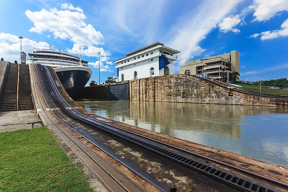
The geographic boundary between North America and South America is, therefore, defined as the Isthmus of Panama. This stretch of land measures between 30 miles wide at its narrowest point and 120 miles at its widest point. Within this isthmus, the divide between the north and south is generally agreed to be the Darien Gap. This region prevents the two continents from being linked by the Pan-American highway. Construction of this highway has not yet been completed through the Darien Gap due to its large area of swamps, waterways, and forests that make development difficult. Additionally, international agencies have worked to prevent its construction, citing extensive environmental damage as a side effect.
Political
Just as continents may be geographically separated, they may also be separated along political lines. Many political conventions, agreements, and publications assert that a clear division between North and South America exists. Sometimes this definition is based solely on what is stated in a particular publication or it is based on the inclusion or exclusion of members of said agreements.
One example of a politically defined border is that which is published in the CIA World Factbook, an encyclopedic reference filled with information about the countries around the world. According to this book, North and South America are actually divided into 3 regions: North America, Central America, and South America. This publication identifies the countries making up North America as: Greenland, Canada, the US, Mexico, Bermuda, the Clipperton Island, and Saint Pierre and Miquelon. South America is identified as the following countries: Argentina, Bolivia, Brazil, Chile, Colombia, Ecuador, the Falkland Islands, French Guiana, Guyana, Paraguay, Peru, South Georgia and South Sandwich Islands, Suriname, Uruguay, and Venezuela. The CIA World Factbook considers all of the countries between Mexico and Colombia, as well as the Caribbean island nations, to be part of Central America.
A similar division is seen in the members of several free trade agreements, including: the North American Free Trade Agreement, the Central American Free Trade Agreement, and the Latin American Free Trade Association Agreement.
Cultural
Another unique way of defining borders between and among continents is to identify the cultural similarities shared in a particular area. These cultural similarities may include factors like language, religion, history, ethnicity, and society. Although the countries located throughout both North and South America have experienced significantly different histories, they do share a common factor. Both continents were shaped by European colonization, which began in the late 15th century. The decolonization process of these lands did not begin until the late 18th century. Despite this similarity, the cultures of North and South America have been influenced by a combination of the beliefs and practices of the original peoples and those of the European colonizers. North and South America may also be divided along the lines of British versus Spanish colonization, although this does not take into account the Portuguese, French, and Dutch colonies that could also be found in this area of the world.
The Americas: A Supercontinent
One the other side of this debate are those individuals who claim that North America and South America are not divided by any border. Instead, they claim, these two land masses make up one supercontinent known as the Americas. This supercontinent is divided into subcontinents, which may be either North and South or North, Central, and South. This line of thought is taught in many countries around the world, but is particularly popular in the southerly-located countries of the Americas. Referring to this entire landmass as only America (instead of North, South, and Central America) is believed to have its origin in the name Amerigo Vespucci, a European colonizer who explored the Americas after Christopher Columbus landed there. Usage of the term “America”, a latinized version of Vespucci’s first name, dates back to two maps that were illustrated in 1507. Both maps applied the name “America” to the area that is now considered by many to be present-day South America. These maps are also significant in that they were the first to illustrate that the Americas are not connected to Asia. Just over 30 years later, the term was used to refer to the entire American supercontinent. For this reason, many people continue to argue today that the Americas comprise one united continent, rather than two.
This supercontinent may also be referred to as the continent of America. This usage of the word, however, can be misunderstood by some individuals, especially native English speakers. This confusion is derived from the fact that most English speakers around the world use the term “America” to refer to the US and the term “American” to refer to somebody from the US. In contrast are those individuals from primarily Spanish-speaking countries who may use the term “American” when speaking in English to refer to anybody from the Americas. Additionally, some individuals in the South American subcontinent use the term “North American” to refer to individuals from the US, although this usage does not take into account the other countries that make up the North American subcontinent.
With a combined area of 16.428 million square miles, the Americas make up 28.4% of the global land area. Additionally, the supercontinent America has a total population of more than 1 billion. The majority of these individuals live in Brazil, Mexico, and the US. The Americas consist of 35 independent countries, 8 British overseas territories, 7 French overseas territories, 3 Dutch public bodies, 3 Dutch constituent countries, 3 US territories, and 1 Danish autonomous nation.
In summary, the border between North America and South America is not easily defined.