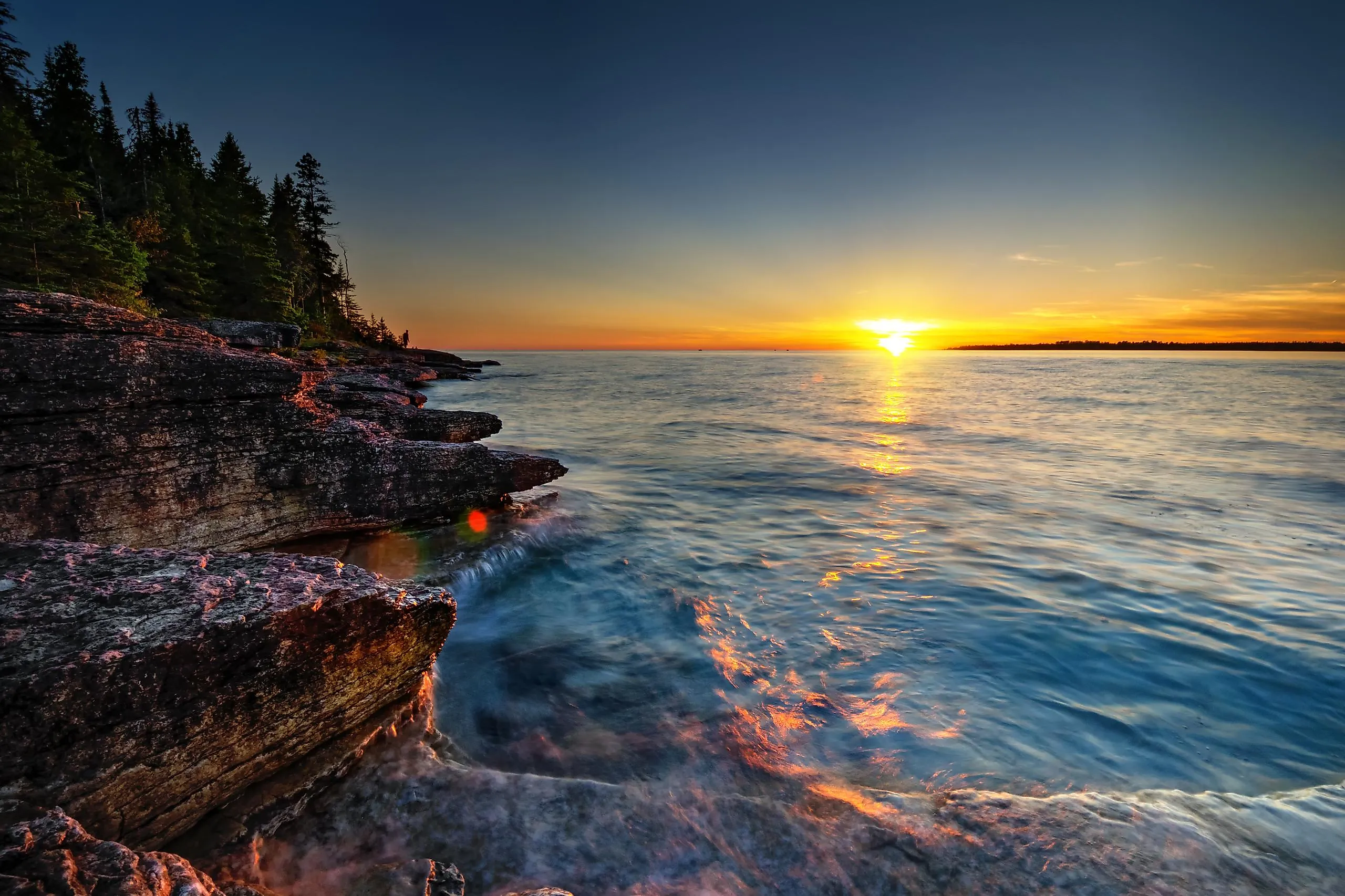
10 Largest Lake Islands In The World
An island in the middle of a lake is a kind of geographical nesting doll: land surrounded by water surrounded by more land. They form in every dramatic way the planet knows, through meteor strikes, volcanic eruptions, earthquakes, and the slow grind of erosion and silt. A few are big enough to hold their own mountains, forests, towns, and even their own lakes. These are the ten largest lake islands on Earth, ranked by area.
Contents:
- Manitoulin Island
- René-Levasseur Island
- Sääminginsalo
- Olkhon Island
- Samosir Island
- Isle Royale
- Ukerewe
- St. Joseph Island
- Drummond Island
- Idjwi
1. Manitoulin Island

At 2,766 square kilometers, Manitoulin is not just the largest lake island on Earth. It is the largest freshwater island of any kind, big enough to hold the city of San Antonio twice over. It sits in Lake Huron off the northern shore of Canada's Ontario province, and its name comes from the Ojibwe word "Manidoowaaling," meaning "Cave of the Spirit."
Then the nesting-doll trick kicks in. Manitoulin holds more than 108 lakes of its own. The largest, Lake Manitou, covers 104 square kilometers, which makes it the biggest lake found anywhere on a freshwater island. And it goes one level deeper still: out in Lake Mindemoya sits 33-hectare Treasure Island, the largest island in a lake on an island in a lake anywhere in the world.
Rivers like the Blue Jay, Kagawong, Manitou, and Mindemoya thread across the island, running cold enough to hold trout and salmon.
2. René-Levasseur Island

René-Levasseur owes its existence to a very bad day about 214 million years ago, when a meteorite several kilometers across slammed into what is now Quebec. The strike blasted out a crater roughly 100 kilometers wide. Erosion whittled it down over the eons, and then, in 1970, the Daniel-Johnson Dam flooded the Manicouagan River. The two crescent lakes that had ringed the old crater merged into a single ring-shaped reservoir, leaving the crater's central uplift standing as a 2,020-square-kilometer island.
The result is so cleanly circular that astronauts can pick it out from orbit, which is why it is nicknamed the "eye of Quebec." At the island's northern end, inside the Louis-Babel Ecological Reserve, Mount Babel rises to 952 meters, the high point of the second-largest lake island in the world.
3. Sääminginsalo
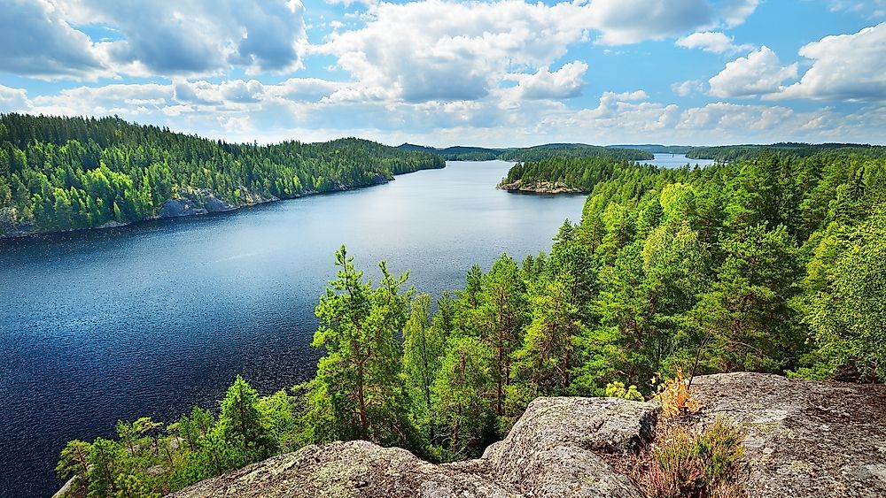
Sääminginsalo is the odd one out on this list: an island made by human hands. It sits within the labyrinthine Lake Saimaa system of eastern Finland, ringed by the waters of Haukivesi, Puruvesi, and Pihlajavesi, and it became a true island only in the 1750s, when the Raikuu Canal was cut across the neck of land that once tied it to the mainland. At 1,069 square kilometers, that single canal made it the third-largest lake island in the world.
Its best-known landmark is itself a record-holder: the Kerimäki Church, a vast timber structure on the island and the largest wooden church anywhere on Earth. Just off Sääminginsalo's shore sits the town of Savonlinna, guarded by the medieval Olavinlinna Castle rising straight out of the water.
4. Olkhon Island

Olkhon is the largest island in Lake Baikal, the deepest and oldest lake on the planet, and it carries the same otherworldly reputation as the water around it. Stretching 71.5 kilometers long and up to 20.8 kilometers wide across 730 square kilometers, it packs taiga forest, bare steppe, mountains, and even patches of near-desert onto a single island in eastern Siberia, Russia.
This is the spiritual heart of the Indigenous Buryat people, and its signature landmark, Shamanka Rock on Cape Burkhan, ranks among the most sacred sites in Asian shamanism. The island's high point, Mount Zhima, climbs to 1,276 meters above the lake. Most residents live in Khuzhir, the main village and Olkhon's administrative center since 1987.
5. Samosir Island

Samosir is an island on an island: a 630-square-kilometer landmass sitting in Lake Toba, the enormous crater lake that fills a caldera in the highlands of Sumatra, Indonesia. That makes it the largest island in a lake on an island found anywhere on Earth. Both the lake and the island trace back to a super-eruption around 75,000 years ago, one of the largest volcanic events of the last two million years, which blew out the caldera Toba now fills.
A narrow isthmus, sliced through by a canal, links Samosir's western side to the Sumatran mainland at the town of Pangururan. The island is the cultural homeland of the Indigenous Batak people, and its shores have become one of North Sumatra's favorite escapes.
6. Isle Royale

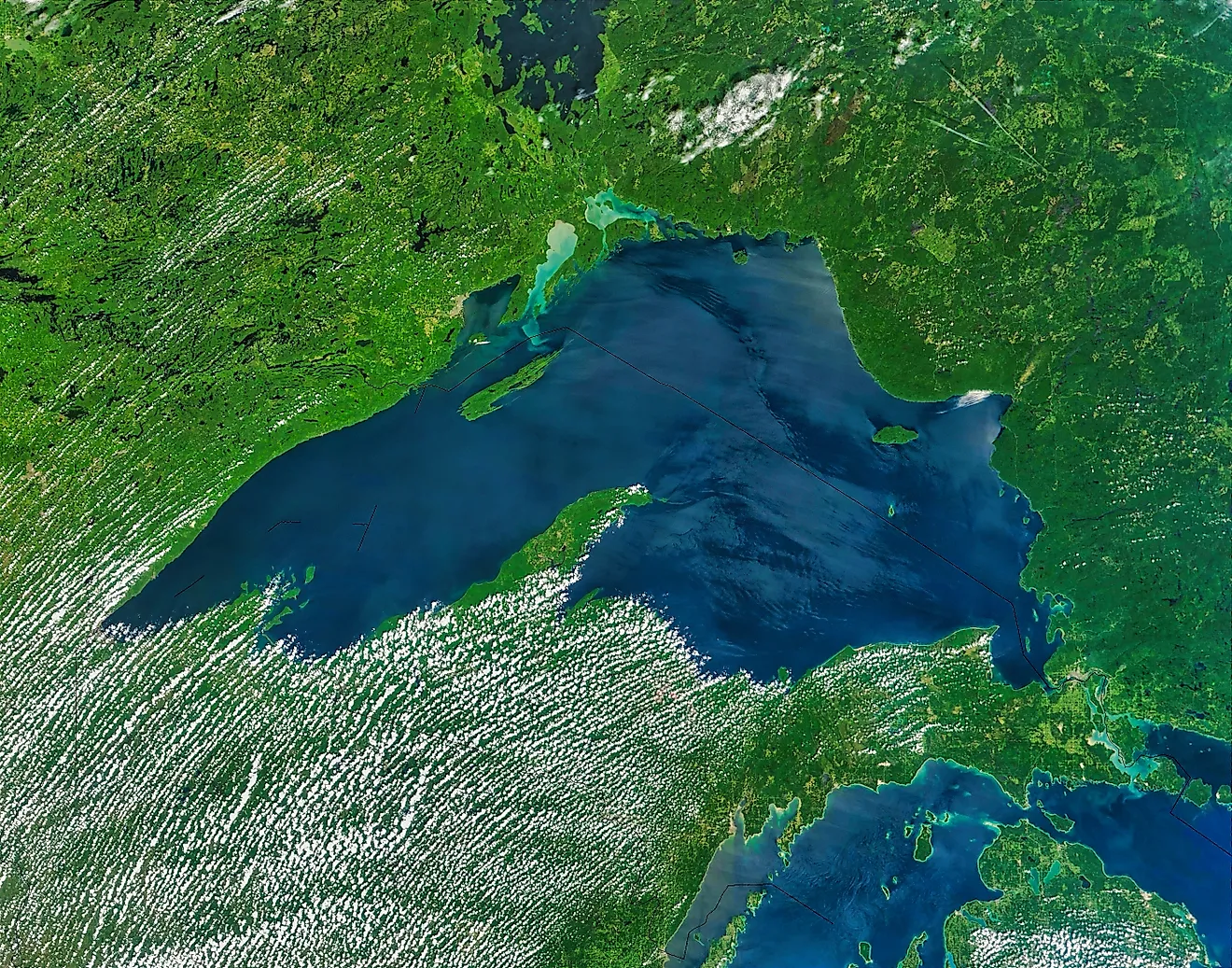
Isle Royale is the largest island in Lake Superior and one of the wildest corners of the United States, a 535-square-kilometer wilderness of boreal forest run, improbably, as part of Michigan. It stretches about 72 kilometers long but only 14 wide, and together with some 450 smaller islands it makes up Isle Royale National Park. Its high point, Mount Desor, reaches 425 meters.
The island is a living laboratory. Since 1958, researchers have tracked its wolves and moose in the longest continuous predator-prey study in the world, watching both populations boom and crash in isolation, with no bears, coyotes, or roads to interfere. Beavers, red foxes, snowshoe hares, and mink fill out the rest of the cast. Laced with about 270 kilometers of trail and reachable only by boat or seaplane, it is also one of the least-visited national parks in the country.
7. Ukerewe

Ukerewe is the largest island in Lake Victoria, and at 530 square kilometers it is the biggest inland island in all of Africa. It lies about 45 kilometers north of the Tanzanian port of Mwanza, its deeply indented shoreline folding into bay after bay, with roughly 27 smaller islands scattered around it. Life here runs on fishing and farming, and its largest town, Nansio, anchors a rural island world where, famously, nearly every tree and patch of ground is individually owned.
8. St. Joseph Island

Back in Lake Huron, St. Joseph is the lake's second-largest island after Manitoulin, covering 365 square kilometers of Ontario near the Michigan border. About 30 kilometers long and 20 wide, it rises at its center to a 345-meter hill that locals simply call "the Mountain," and it holds around 60 small lakes of its own.
Hardwood forest, red oak, and sugar maple blanket much of it, and its wetlands pull in heavy bird traffic. On the southwestern edge, the St. Joseph Island Migratory Bird Sanctuary, established in 1951, protects habitat for black terns, herring gulls, bald eagles, and the American black duck.
9. Drummond Island

Drummond Island straddles a border. The line between the United States and Canada runs right down the short False Detour Channel on its eastern side, though the island itself, Lake Huron's third-largest at 347 square kilometers, belongs mostly to Michigan. It was named for Sir Gordon Drummond, a British officer from the War of 1812 era, and the US-Canada border has cut through its waters ever since.
Its eastern cliffs form part of the Niagara Escarpment, and much of Drummond is covered in a rare habitat called alvar: flat limestone plains where thin soil supports grassland found in only a handful of places on Earth. A highway and a short ferry ride connect the island to the mainland.
10. Idjwi

Idjwi is a long, narrow sliver of land, about 70 kilometers end to end, sitting in the middle of Lake Kivu between the Rwandan and Congolese shores. At 285 square kilometers it is the tenth-largest lake island in the world and the second-largest in Africa, and it belongs to the Democratic Republic of the Congo's South Kivu Province. Densely populated and largely overlooked, it has stayed a world apart from much of the turmoil that has troubled the wider region between the Congo and Rwanda.
10 Largest Lake Islands In The World
| Rank | Island, Lake | Country | square km | square miles |
|---|---|---|---|---|
| 1 | Manitoulin, Lake Huron | Canada | 2,766 | 1,068 |
| 2 | René-Levasseur, Manicouagan Reservoir | Canada | 2,020 | 780 |
| 3 | Sääminginsalo, Lake Saimaa | Finland | 1,069 | 413 |
| 4 | Olkhon, Lake Baikal | Russia | 730 | 282 |
| 5 | Samosir, Lake Toba | Indonesia | 630 | 243 |
| 6 | Isle Royale, Lake Superior | United States | 535.4 | 207 |
| 7 | Ukerewe, Lake Victoria | Tanzania | 530 | 205 |
| 8 | St. Joseph, Lake Huron | Canada | 365 | 141 |
| 9 | Drummond, Lake Huron | United States | 347 | 134 |
| 10 | Idjwi, Lake Kivu | DR Congo | 285 | 110 |