Maps of Virginia

Virginia, officially named the “Commonwealth of Virginia," is located in the eastern United States, bordered by the Atlantic Ocean and the Chesapeake Bay to the east. It shares its northeastern border with Maryland and Washington DC, its southern border with North Carolina and Tennessee, its southwestern border with Kentucky, and its northern and western borders with West Virginia.
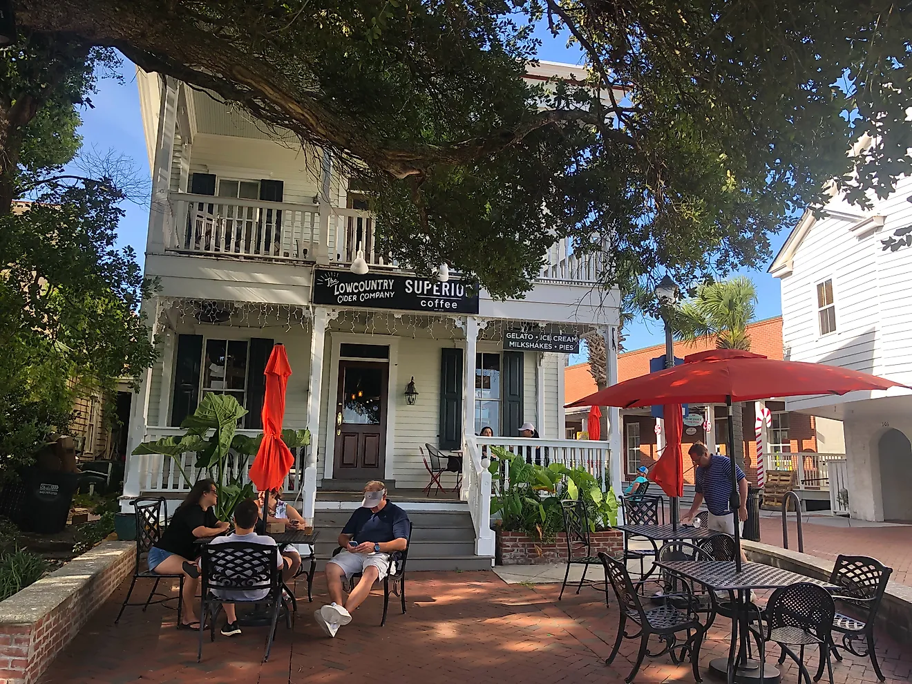
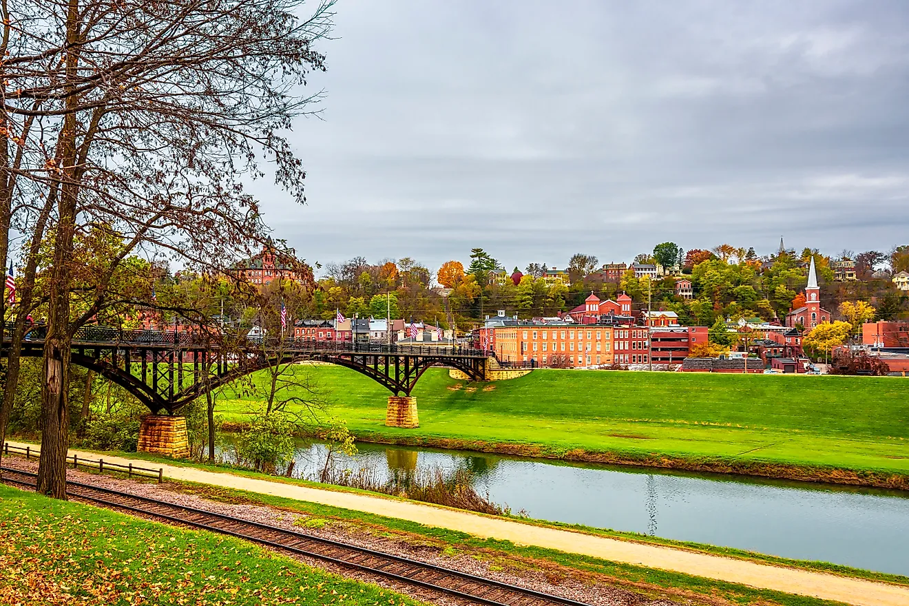
Virginia’s capital is Richmond, located in the eastern part of the state, while the most populous city is Virginia Beach, along the southeastern coast, with a little over 450,000 residents.
In the early 17th century, the Virginia Company, a group of London businessmen, settled in Virginia under a charter granted by King James I. In 1788, the state of Virginia ratified the US Constitution, making it the 10th state to join the Union.
Area
Virginia, with a total area of 42,775 square miles (110,787 square kilometers), is the 35th largest state in the US. It is about four times larger than Massachusetts and half the size of Utah. Compared to other countries, Virginia is roughly the same size as Cuba and three times smaller than Finland.
Bodies of Water
Virginia is home to approximately 49,350 miles of rivers. Some of the most notable include the Potomac River, which forms the state’s northern border with Maryland; the James River, the state’s longest, flowing from the Appalachian Mountains to the Chesapeake Bay; and the Rappahannock River, running from the Blue Ridge Mountains in the north to the Chesapeake Bay in the east. There are only two natural lakes in the state: Lake Drummond, in the extreme southeast, and Mountain Lake, in western Virginia near Newport.
Geographical Characteristics
Although Virginia is a fairly urbanized state, there are still many forested areas, specifically where the land transitions from mountains and valleys in the west to beaches along the Atlantic coastline. The land can be divided into five different physical regions: Appalachian Plateau, Appalachian Ridge and Valley, Blue Ridge, Piedmont, and Atlantic Coastal Plain.
Appalachian Plateau
The Appalachian Plateau lies in the northern part of Virginia’s westernmost tip. It features flat-lying, sedimentary rocks, forests, and land dissected by streams and rivers.
Appalachian Ridge and Valley
To the east of the Appalachian Plateau is the Appalachian Ridge and Valley Region, filled with deep escarpments and long, even ridges. There are also many natural bridges, caverns, and sinkholes scattered throughout.
Blue Ridge Mountains
The Blue Ridge Mountains region follows the southwest to northwest edge of the state, featuring steep, forested mountains that are part of the Appalachians. Virginia’s highest point, Mount Rogers, is in this section, standing 5,729 feet (1,746 meters) above sea level.
Piedmont
Piedmont, located in central Virginia, is a slightly inclined plain with fertile land and rolling hills. It descends from the Blue Ridge Mountains down to the coastal plain to the east.
Atlantic Coastal Plain
The Atlantic Coastal Plain is the easternmost region in the state, featuring a lowland with salt marshes and swamps. The state’s major estuaries, such as the Eastern Shore of Virginia and Chesapeake Bay lie in this area as well.
Counties Map

The State of Virginia is divided into 134 counties. In alphabetical order, these counties are: Accomack, Albemarle, Alexandria City, Alleghany, Amelia, Amherst, Appomattox, Arlington, Augusta, Bath, Bedford, Bedford City, Bland, Botetourt, Bristol, Brunswick, Buchanan, Buckingham, Buena Vista City, Campbell, Caroline, Carroll, Charles City, Charlotte, Charlottesville City, Chesapeake City, Chesterfield, Clarke, Colonial Heights City, Covington City, Craig, Culpeper, Cumberland, Danville City, Dickenson, Dinwiddie, Emporia City, Essex, Fairfax, Fairfax City, Falls Church City, Fauquier, Floyd, Fluvanna, Franklin, Franklin City, Frederick, Fredericksburg City, Galax City, Giles, Gloucester, Goochland, Grayson, Greene, Greensville, Halifax, Hampton City, Hanover, Harrisonburg City, Henrico, Henry, Highland, Hopewell City, Isle of Wight, James City, King and Queen, King George, King William, Lancaster, Lee, Lexington City, Loudoun, Louisa, Lunenburg, Lynchburg City, Madison, Manassas City, Manassas Park City, Martinsville City, Mathews, Mecklenburg, Middlesex, Montgomery, Nelson, New Kent, Newport News City, Norfolk City, Northampton, Northumberland, Norton City, Nottoway, Orange, Page, Patrick, Petersburg City, Pittsylvania, Poquoson City, Portsmouth City, Powhatan, Prince Edward, Prince George, Prince William, Pulaski, Radford City, Rappahannock, Richmond, Richmond City, Roanoke, Roanoke City, Rockbridge, Rockingham, Russell, Salem, Scott, Shenandoah, Smyth, Southampton, Spotsylvania, Stafford, Staunton City, Suffolk City, Surry, Sussex, Tazewell, Virginia Beach City, Warren, Washington, Waynesboro City, Westmoreland, Williamsburg City, Winchester City, Wise, Wythe, and York.
With an area of 110,784.7 sq. km, Virginia is the 35th largest state in the USA. Located in the east-central part of the state along the James River is Richmond – the capital city of Virginia. Government services, finance, IT, medical sciences are some of the major drivers of the city’s economy. Richmond also serves as a manufacturing hub for its prosperous tobacco industry. Situated in the southeastern part of the state, at the meeting point of the Chesapeake Bay and the Atlantic Ocean is Virginia Beach – the largest and the most populous city in Virginia. It is well known for being a resort city and its beaches have several restaurants, hotels, and motels on its oceanfront. The city also hosts numerous sporting events every year.
Where is Virginia?

The State of Virginia is located in the South Atlantic Region of the United States. Virginia is bordered by the states of North Carolina in the south; by Tennessee in the southwest; by Kentucky in the west; by West Virginia in the northwest and by Maryland and Washington D.C. in the northeast. It is also bounded by the Chesapeake Bay in the east and by the Atlantic Ocean in the southeast.
Regional Maps: Map of North America
Outline Map of Virginia

The above blank map represents the State of Virginia, located in the South Atlantic Region of the United States. The above map can be downloaded, printed and used for geography education purposes like map-pointing and coloring activities.

The above outline map represents the State of Virginia, located in the South Atlantic Region of the United States.
Key Facts
| Legal Name | State of Virginia |
|---|---|
| ISO 3166 Code | US-VA |
| Capital City | Richmond |
| Major Cities |
|
This page was last updated on September 18, 2024