Potomac River
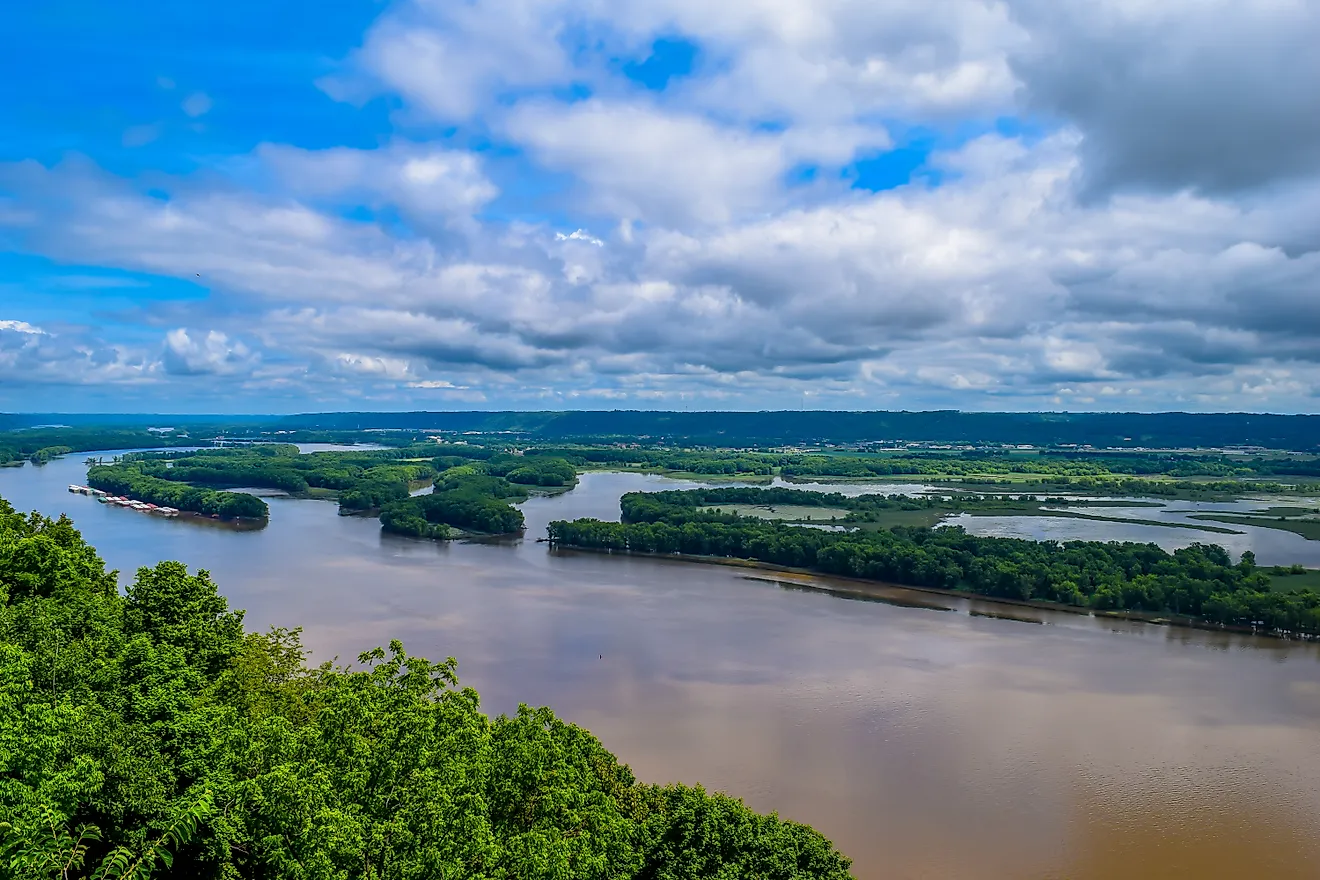
The Potomac River is a river in the Mid-Atlantic United States and the southern tributary of the Chesapeake Bay. The 652 kilometer-long river originates on the Allegheny Mountain in West Virginia and drains approximately 38,000 square kilometers. Along the way, several tributaries join the Potomac, including Monocacy, Shenandoah, and Anacostia. Nearly 60% of the river’s watershed is forest, making it one of the country’s most forested rivers. The river is known for several things, including its beauty and historical significance. Mount Vernon, George Washington’s home, is located on its bank. In 1998, President Bill Clinton declared the Potomac an American Heritage.
Potomac River Map

The Potomac River is 652 km (405 miles) in length and has a drainage basin of 38,000 km2 (14,700 square miles), which makes it the fourth largest river on the United States’ Atlantic Coast. It runs from Fairfax Stone, West Virginia to Chesapeak Bay. The Potomac River map shows the Potomac watershed.
Major Features

The Potomac River is the fourth largest river on the US Atlantic Coast by drainage area. Its watershed extends to Virginia, West Virginia, Maryland, and the District of Colombia. The river’s Northern Branch forms the boundary between West Virginia and Maryland, while the main river forms the boundary between Virginia and Maryland. The river discharges an average of 325.6 cubic meters of water per second at Little Falls and about 269.1 cubic meters per second at Point of Rock. The Potomac is navigable up to the nation’s capital, after which it forms series of falls and rapids, including the Great Falls.
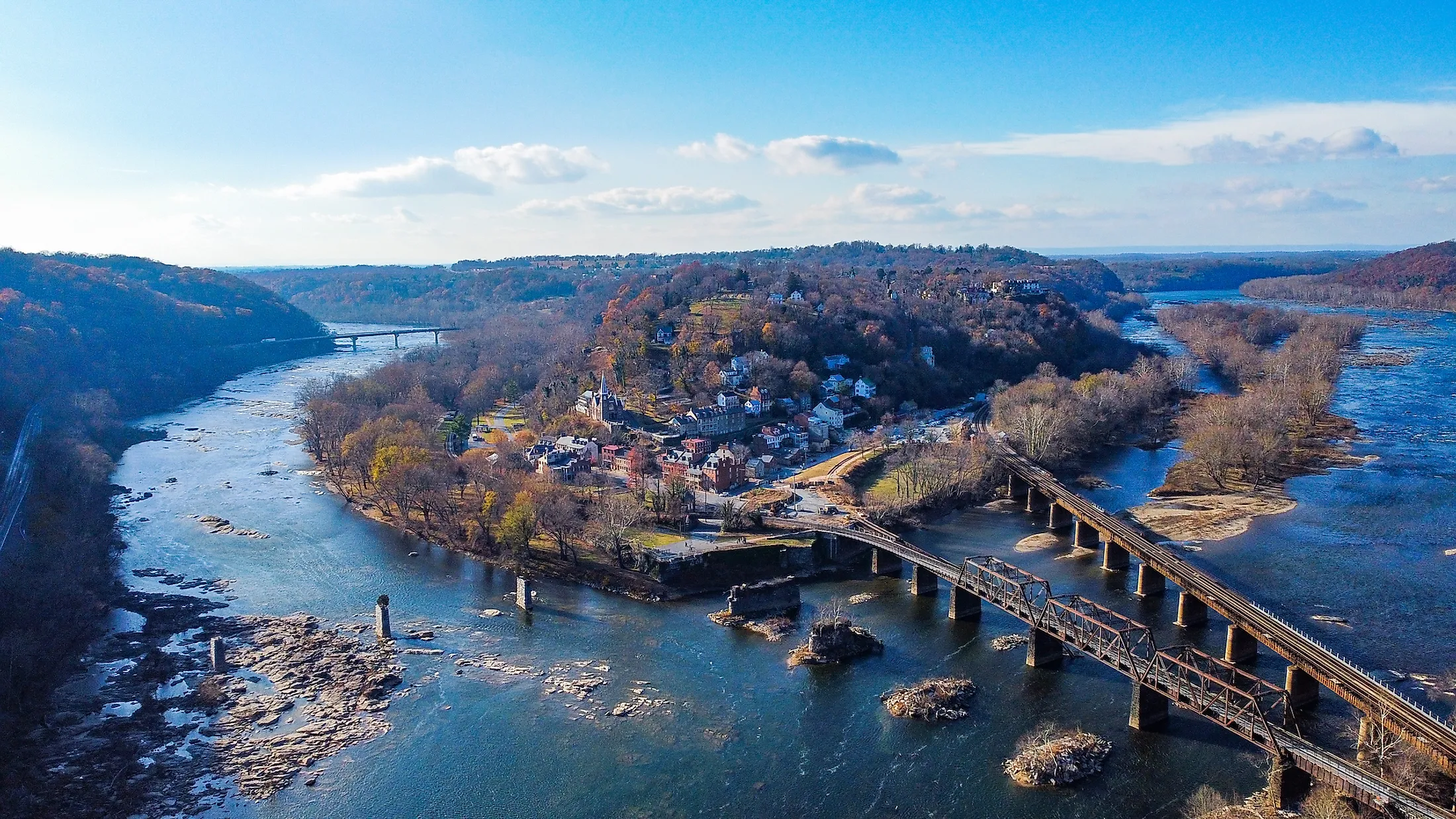
Course Of The Potomac River

The Potomac River begins its journey to the Chesapeake Bay from West Virginia’s Fairfax Stone Historical Monument State Park as North Branch Potomac River. The North Branch rises from the Allegheny Range (part of the Appalachian Mountain Range) at the junction of Preston, Tucker, and Grant. From the Fairfax Stone, the river flows for about 43 kilometers to Jennings Randolph Lake. It exits the artificial lake and cut through the eastern Allegheny Mountains. Then it flows northeast through several communities in Maryland, including Westernport, Luke, and Bloomington. From Keyser (West Virginia), the river flows to Cumberland in Maryland, then turns southeast and meets the South Branch in Green Spring.

The South Branch originates on the Lantz Mountain (Hightown) in Highland County, Virginia, and meanders northeast as a small stream. It receives the Strait Creek at Forks of Waters, then runs north across the West Virginia-Virginia border to Pendleton County. The Potomac then flows northeastwards along the Jack Mountain, Sandy Ridge, and Town Mountain and passes between the Cave Mountain and the Big Mountain before reaching Grant County. The river continuous northwards through the Smoke Hole Canyon and receives the North Fork near Cabins. Then it proceeds to Petersburg and finally Green Spring, where it meets the North Branch. The Potomac River flows for about 486 kilometers from the confluence point in Green Spring to Point Lookout.
The Potomac is divided into three sections: upper, lower, and tidal Potomac River. The upper river is the section from the confluence of the South and North Branch to Shepherdstown. It receives several streams in this section, including Opequon Creek, Sleepy Creek, North and South Branches, Town Creek, and Cacapon River. The lower river runs from Harper Ferry to Little Falls, Maryland, while the tidal section lies between the Fall Line and the Chesapeake Bay.
Significance

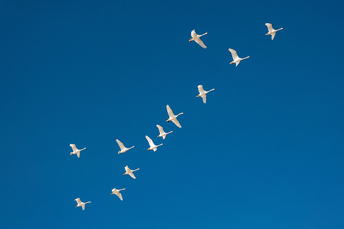
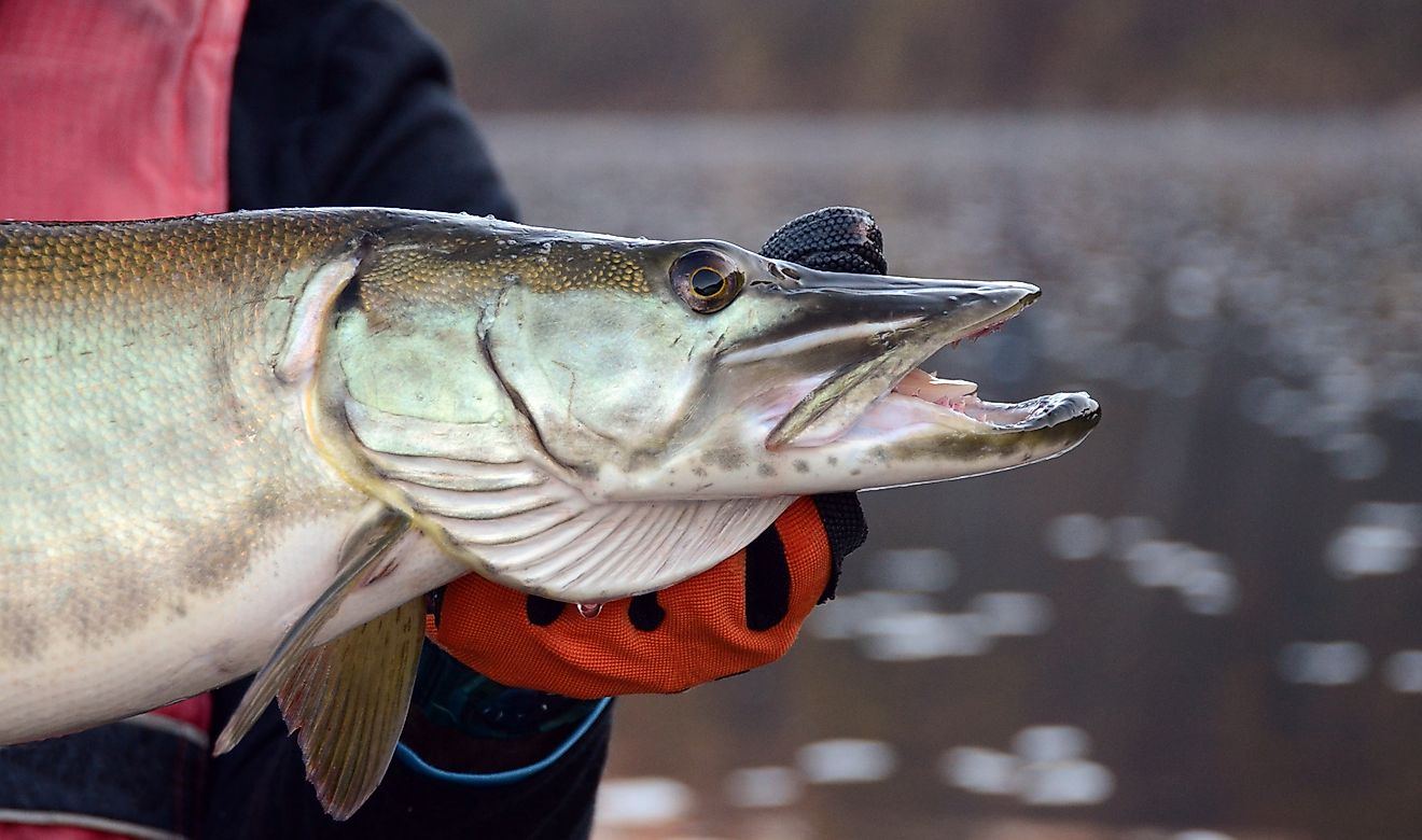
The Potomac River is a principal water source, accounting for almost 80% of the Washington area’s water usage. Series of dams have been constructed along the river to control floods and provide quality water. However, agriculture, mining, and pollution upstream have affected the river’s water quality. The Potomac is also a valuable habitat for various animal species, including fish, mammals, and reptiles. The fish species include northern snakehead, sunfish, American shad, pikes, muskellunge, bass, and Walleye.
