Traversing Michigan’s Pictured Rocks By Land & Water
Nine miles into the Grand Island Marathon we emerged onto a long, slim beach where I witnessed the famous "Pictured Rocks" for the first time. I wanted to win the race, but I also had the urge to slow down and appreciate these mineral-stained sandstone cliffs rising above Lake Superior. Easing off the throttle ever so slightly, I took solace in knowing that a full lap of island surprises remained, as did the following morning's 5-hour kayaking tour and afternoon of waterfall/sand dune hikes. Michigan's Pictured Rocks National Lakeshore spans 42 miles, constituting over 100 miles of trails, a dozen wild beaches, 17 waterfalls, five miles of gigantic perched dunes, countless sea caves, dramatic arches, and 15 miles of the titular features.
Despite its isolation on the Upper Peninsula, between the towns of Munising and Grand Marais, roughly one-million people visit Pictured Rocks each year to float along its waters, hike/bike its hardwood forests, climb its icy cliffs, and marvel at its natural beauty. My northern excursion was anchored around the aforementioned marathon and epic paddling adventure, but slipped in plenty of other unexpected highlights.
Grand Island Marathon

The Grand Island Marathon (there are also ½ Marathon & 50k distances) is part of the Great Lakes Endurance series put on by Aravaipa Running. Utilizing forest roads, single-track trails, and even some beach running, the course does almost a perfect loop of the 13,500-acre island. Though the Grand Island National Recreation Area is technically part of Hiawatha National Forest, it is part and parcel with the Pictured Rocks National Lakeshore.
What's great about the world of trail running is that you get to explore wild places in a structured but still laid back way. For instance, the pre-race gathering took place at East Channel Brewery in downtown Munising. Hundreds of runners indulged in pizza and beer mere hours before the first ferry was set to depart (a short ride that was included in the race registration). At the same time, the well-marked course, plentiful aid stations, and black-bear deterring crowds (there are over 10,000 black bears throughout the Upper Peninsula, including Grand Island) allowed me the opportunity to traverse this amazing landscape in a way I wouldn't have otherwise been able to.

The race itself was tougher than I expected, with some solid climbs in the last 10 miles, but I was still able to hang on to second place. Like the other sweaty, gimpy runners, I beelined for the little beach beside the ferry docks and used the crisp waters of Lake Superior as a makeshift ice bath. A couple warm quesadillas later (courtesy of the invaluable volunteers), and I was just about feeling back to my old self, a relief given the kayaking adventure that awaited one sleep away.
Pictured Rocks Kayaking

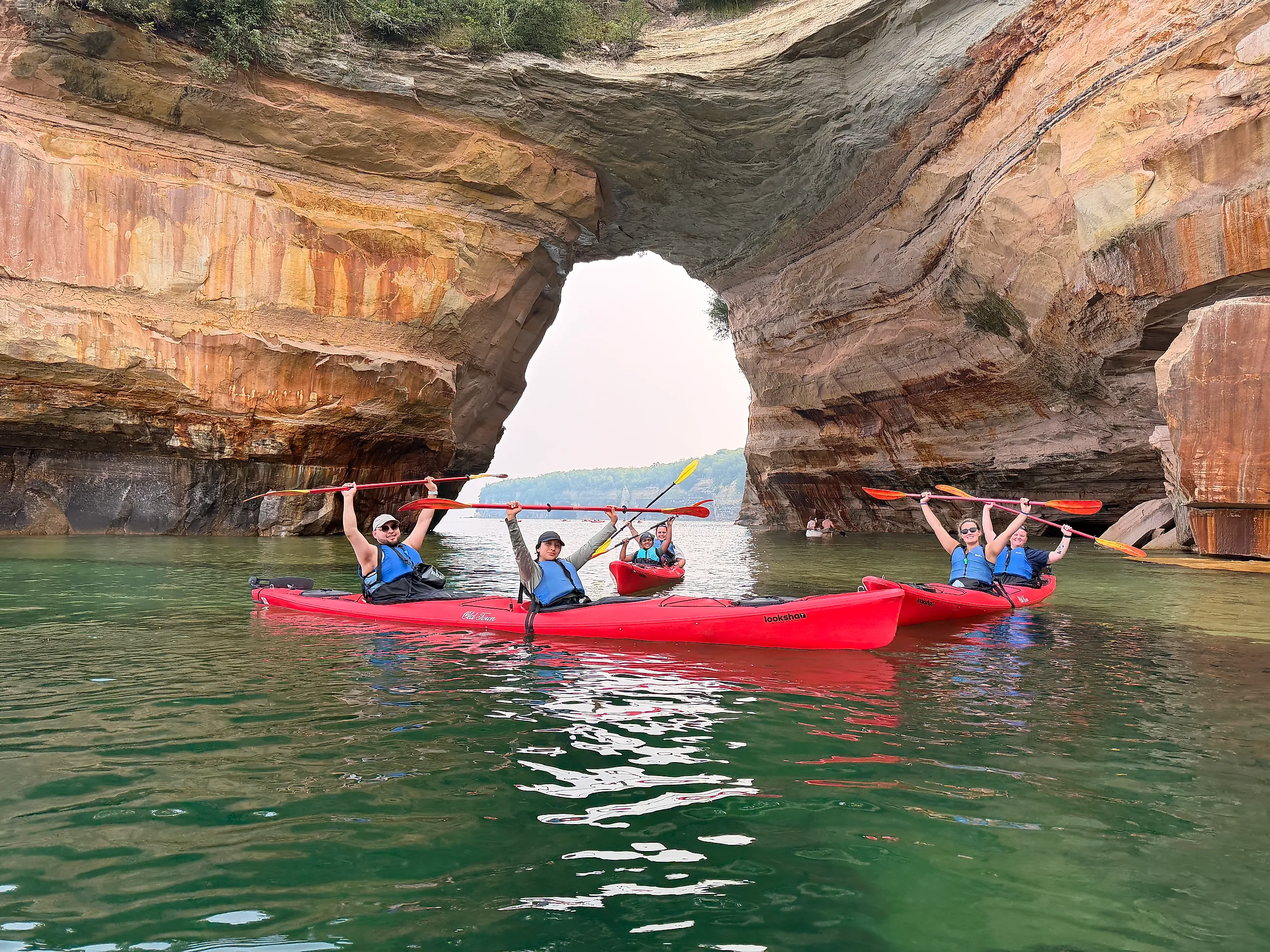
Munising has its fair share of tour operators, but the only one that combines boating and kayaking is Pictured Rocks Kayaking. Their 5-hour Ultimate Kayak Tour allowed for a 5-mile tandem paddle past some of the most iconic features of the western portion of Pictured Rocks National Lakeshore, as well as scenic transportation aboard the mothership before and after. Before launching the kayaks, we were split into smaller groups, each with their own guide. This spaced things out nicely, and created a more intimate and informative experience.
Our guide, Josh, was so proficient that he was able to paddle backwards the entire time, helping us to stick together but also allowing him to tell us all about the wildlife and geology. I regretted not buying one of those waterproof phone case lanyards, but Josh offered to take pictures of us whenever we wanted, and immediately air-dropped them to us when we got back to base. He even shouted his phone number up to a hiker high on the cliffs so that we could all get a bird's-eye-view of our platoon.

Along with the showstopping formations such as Lover's Leap, Chapel Rock, sea caves, and some Pollock-esque cliffs (some as high as 200 feet), we came across lots of exciting wildlife. Josh pointed out a peregrine falcon (i.e. the fastest animal on the planet) perched on a tree growing out of the rocks, then a bald eagle cleaning his feathers, and finally a family of mergansers.
Halfway through the paddle, a dense fog rolled in. Though this obscured the view, it added an ominous ambience that I quite enjoyed. If the whole day had been like that it might have been disappointing, but experiencing the stark contrast was actually an asset. I was proud of my marathon performance, but ultimately, the Pictured Rocks Kayak Tour was the highlight of the whole trip. Just make sure you fuel up beforehand! Or bring some snacks. I started to get pretty hungry towards the end.
Additional Adventures

The kayak tour gave us a unique vantage point of the Pictured Rocks, but I was still itching to see some of the park's inland features, as well as its eastern shoreline. After all, even though the colorful sandstone dominates postcards, Pictured Rocks National Lakeshore is replete with waterfalls and sand dunes.
For those of you who haven't just run a marathon, there are some revered longer hikes to consider. The 10-mile Chapel/Mosquito Loop, in particular, was raved about by my fellow kayakers. But given the mounting fatigue, I was happy to simply walk the first section out to Chapel Falls, a round-trip of about 2.5 miles. Chapel Road fills up quickly with cars, but since the afternoon was wearing on, many of those morning hikers had recently cleared out. Based on what I saw, I recommend going super early, or hanging back until mid-afternoon.

En route to Grand Marais, my girlfriend and I had just enough time and energy for one last side quest. At the pre-race brewery hang, some fellow runners, having learned of my love for sand dunes, insisted we stop by the "Log Slide." This massively steep segment of the five-mile, 300-foot Grand Sable Dunes was used, as the name suggests, to funnel logs down to the water, where they could be more easily shipped all around Lake Superior. The UP's lumber boom lasted from the late 1800s through to the early 1900s but Grand Sable's overlying jackpine forests escaped the scope of the chainsaws.
The Log Slide is now a use-at-your-own-discretion tourist attraction. In fact, given that the parking lot leads to the top of the sand dune, there is an anticipatory sign warning. Descending is a quick and exhilarating experience, but coming back up can take over an hour! Some people even require rescue. Thankfully, I still had enough umph in my legs to enjoy the full down and up experience, but I definitely saw some waterless climbers entering the hurt locker.
Munising & Grand Marais

Hear from a local:
What I love so much about the Pictured Rocks is that it's right in Munising's backyard. You can drive just 10 minutes out of town and see breathtaking landscapes.
- Joshua Lutz
Pictured Rocks National Lakeshore is bookended by the towns of Munising (west) and Grand Marais (east). If you're more drawn to the Pictured Rocks themselves, then the former is the way to go. But if you're seeking those sand dunes, or simply a quirky, lesser-known community, then it's Grand Marais all the way.
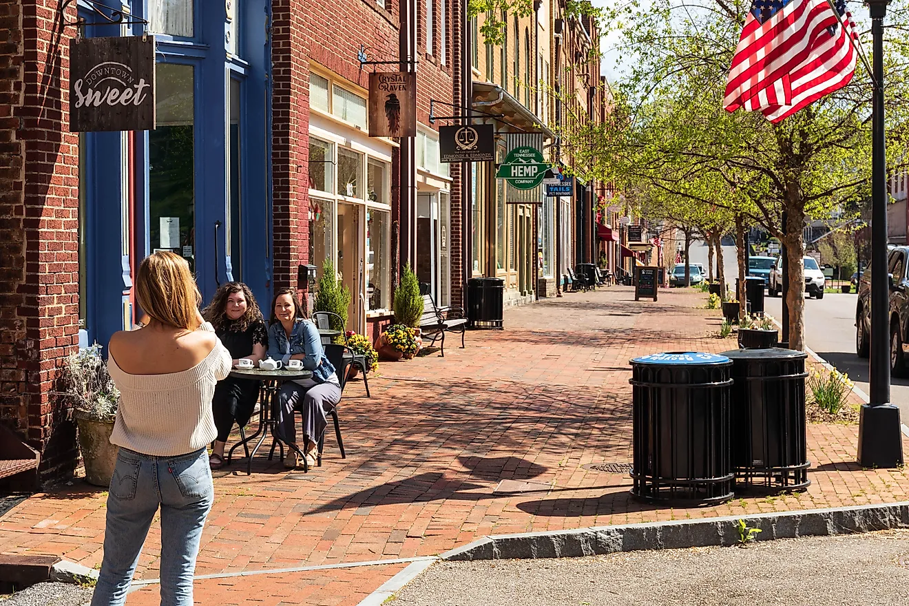
At first glance, Munising looks like a boring highway town. But upon closer inspection, it reveals its intriguing layers. The coffee shops, the watering holes, the pasties made famous by the UP's copper miners, the bustling food trucks run by Michigan's Mexican immigrants, the bigfoot statues, the cheeky shops, and the frontier-style facades all give Munising its charm.

Conversely, Grand Marais is instantly appealing, but what you see is what you get. Lake Avenue runs for all of two blocks, upon which you get your gas station/market, historical eccentricities (such as the Pickle Barrel House and Old Post Office Museum) and collections of restaurants and accommodations. The entirety of the town's population appeared to gather at The Dunes Saloon that evening, and about half that crowd showed up the next morning for coffee and pasties at The Dream Bean (look for the Volkswagen hippie van out front). The only downside of the activity-packed day was that it left precious little time to enjoy Grand Marais. I could have easily spent a few days there, hiking out to Sable Beach & Falls, and rubbing elbows with the locals.
Parting Thoughts on Pictured Rocks

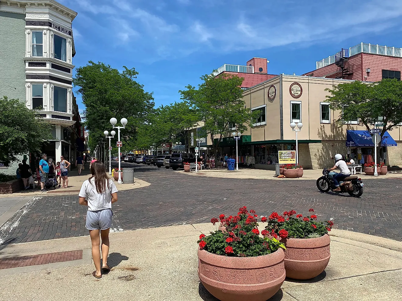
I'm constantly floored by Michigan. I've toured the Keweenaw Peninsula's Copper Country, seen the soaring sands of Sleeping Bear Dunes National Lakeshore, biked around the Victorian enclave that is Mackinac Island, bummed around on the Thumbcoast, lived it up in St. Joe and other popular beach towns, and on and on it goes. So the fact that Pictured Rocks National Lakeshore could instantly jump to the top of my list shows how inexhaustible The Great Lake State truly is. This 42-mile stretch of Upper Peninsula beauty marries the pristine waters of Lake Superior, some of the finest perched dunes on the planet, marathon-worthy trails of Grand Island, and, of course, the marquee black, white, brown, orange, red, green, and blue-stained cliffs. Whether on foot, by boat, or paddle in hand, Pictured Rocks is worth a thousand words (or 1,500 according to this article).