A Driving Tour of River Road National Scenic Byway
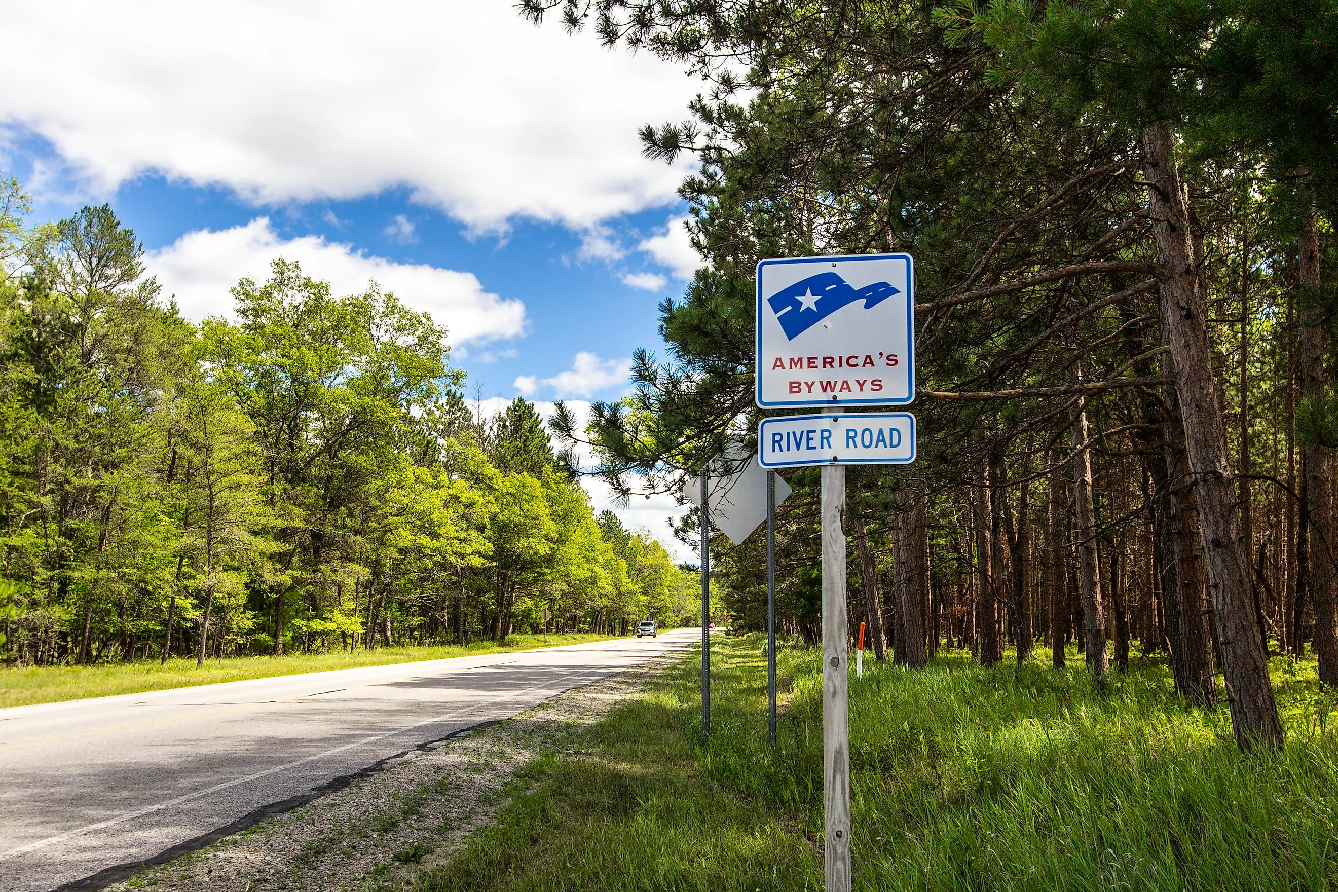
Michigan's River Road National Scenic Byway jets 22 miles inland from the Lake Huron beach-town of Oscoda to M-65's Westgate Overlook (or vice versa). Paralleling the AuSable River (i.e. Riviere aux Sable, French for "river of sand"), the River Road simultaneously winds its way through thousands of acres of the Huron National Forest. This dynamic drive is punctuated by high-bluff viewpoints, historical monuments & structures, interpretive turnouts, ample access to tranquil waters, and multitudes of multi-use trails for anyone looking to add miles beyond their odometer. The River Road is one of Michigan's 3 National Scenic Byways/All-American Roads and one of 22 Pure Michigan Byways. In fact, my girlfriend and I recently drove the River Road as an add-on to the Sunrise Coast Pure Michigan Byway and were delighted by the injection of wilderness into Sunrise's easy-going, community-based adventure. If that sounds like an intriguing balance to you, then queue up some Creedence and let's get rollin' down the river!
Eagle Run Trails

Having reached the Sunrise beach town of Oscoda via M-23, we turned west onto the River Road, reaching our first turnout just two miles later. The Eagle Run Trail system consists of three loops totaling about 4.2 miles if connected into one big loop, or between 2-2.5 miles if done individually. Given the July heat, we took a short stroll on Loop C, and also used the entrance interpretive sign to get a better sense of the drive ahead. If you have lots of time, and a hunger for hiking, biking, or (come winter) cross-country skiing/snowshoeing, then you'll want to pencil in Eagle Run on your way out, or maybe save it for a tag on the way back. Otherwise, let's roll on to our next recreation outlet/casual pit-stop.
Whirlpool River Access

"Whirlpool Angler Access," or so it appears on Google Maps, did not make the cut for the official River Road National Scenic Byway map, but if you packed your own paddlecraft, fishing rod, or light lunch, then make that right hand turn onto Pinecrest Drive just over one mile on from Eagle Run. There is a small, honor-system day-use fee, but it's worth it for the serenity of this lesser-known spot along an already overlooked scenic byway.
Old Orchard Park

On this particular trip, the stairs at the AuSable River Scenic Lookout were closed. Thankfully, there were other jaw-dropping turnouts ahead. Likewise, the parking lot for the Foote Hydroelectric Dam (one of six dams that were built along the AuSable beginning in the early 20th century) was also closed for construction. But we were able to spot the historic structure across Foote Dam Pond from the boat launch and campground at Old Orchard Park. This quick pit-stop also teased the scale of the dunes that were to come further up the waterway. It's not called the "river of sand" for nothing!
Champagne Hill

Champagne Hill, aka the "Foote Pond Scenic Overlook," was the most spectacular lookout of the entire River Road. Looking down from the paved path extending off the parking lot, the partnered enormities of this quintessential Michigan sand dune, sea of green (or mosaic of colors, come fall), and wide, winding river boggled our minds. At one point, a motorized boat came around the dog-leg and demonstrated just how small we are in the grand scheme of things.
Lumberman's Monument

Despite the ubiquity of trees seen today (e.g. jack pines, junipers, etc.), prior to the establishment of Huron National Forest in 1909, this region's white pines and other hardwoods were extensively harvested. Nowadays, the hidden costs of deforestation, soil erosion, and habitat loss are well known, but during the 19th century, priority was given to Michigan's thriving timber industry. As such, the Lumberman's Monument pays homage to the hardworking laborers that were instrumental to the development of Michigan and its neighbors. The 14-foot bronze statue known as Lumberman's Monument, showcases a sawyer, a surveyor, and a "river rat," and stands beside two log cabins, one housing a small museum, and the other the River Road National Scenic Byway/Huron National Forest Visitor Center.
Cooke Dam Pond Lookouts & Eccentricities

Before leaving the Lumberman's Monument, Irina and I discovered a hidden asset. Descending 272 wooden steps down to the AuSable River's edge, we were met by quite a scene. Fellow road-trippers struggled up/down the staircase, but groups of paddlers were also using the simple docks. As I watched them disappear into the girth of the river, dwarfed all the more by another colossal sand dune leading up its south bank, I noticed an old river hut. Used back in the logging days to facilitate the transportation of felled trees (which had to be floated up river to saw mills), it now acts as a mini-museum, with optional narrations to fill in historical context.
Canoers Memorial

This next roadside memorial commemorates finishers of the annual AuSable River Canoe Marathon. First run in 1947 by 46 teams, only 15 of which completed the all-day/all-night challenge, this 120-mile paddle is touted as "canoeing's greatest race" and the "toughest spectator race." Each year, during the last full weekend of July, highly experienced and ultra-competitive canoers from all around North America (and beyond) line up for this endurance challenge. Our trip landed tantalizingly close to the race, so we'll have to make sure to align with it next time. At least the monument put the epic race on our radar.
Quick Stop at Iargo Springs

Iargo Springs presented us with another quad-testing staircase, this time exceeding 300 steps. Growing short on time and energy, Irina and I enjoyed the fresh air from the observation deck above, but decided to leave the trickling waterfall below for next time. If you find yourself driving eastbound on the River Road, I would suggest divvying up your resources strategically. Maybe you can squeeze in both major descents (and corresponding ascents, obviously). But if you can only manage one, I think Lumberman's Monument add-on adventure is the way to go.
Westgate Terminus & Lookout

Joining M-65 for the last few miles of the River Road National Scenic Byway (or first few, if you're doing this itinerary in reverse), we reached the Westgate Overlook. One last glance at the large roadside map, followed by one last panoramic view of the AuSable River and its infinite forest buffers, was a satisfying conclusion to our River Road driving tour. All that remained was the 22-mile backtrack to Oscoda, where we would rejoin the Sunrise Coast Pure Michigan Byway. Far from a chore, the return drive allowed me to take in the scenic byway as a continuous, passive experience, no longer concerned with missing the prescribed turnouts, or photographing every new highlight. Sometimes the drive itself is the reward.
Epilogue: Oscoda Swim

Arriving back in Oscoda, sun now high in the sky, we both craved a swim on Oscoda's freshwater beach. This little Sunrise Coast stopover is sleepy in terms of commercial assets, but Oscoda Beach Park, with its boardwalk, pier, and generous stretch of soft sand, is certainly a crowd-pleaser. The plunge into Lake Huron cleansed the sweat amassed on those River Road hikes and staircases, and reset our spirits for the northbound road ahead.