The Towns On The Olympic Peninsula Worth The Drive
Sequim gets about 16 inches of rain a year, less than Los Angeles. The Hoh Rain Forest, ninety miles west on the same peninsula, gets 140 to 170. The Olympic Mountains rise from sea level to nearly 8,000 feet in under 35 miles and throw a rain shadow so severe that choosing a town here means choosing your weather by a factor of ten. That single fact should shape any trip here. It is also why these eight towns feel like they belong to different states, and why the drive between two of them takes two hours and changes the weather entirely.
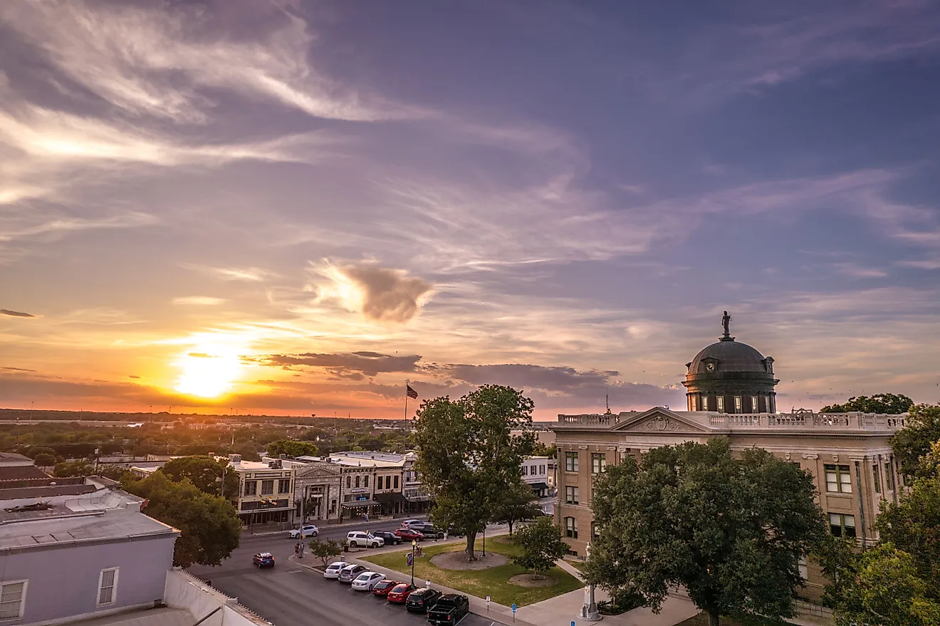
Port Townsend

The most architecturally intact town on the peninsula owes its appearance to a railroad that never arrived.
Nineteenth-century speculators built Port Townsend expecting it to become the shipping capital of Puget Sound. The railway went to Seattle instead, the boom stopped mid-construction, and the Victorian downtown simply stayed there because nobody had money to replace it. The historic district is on the National Register as a result.
It also sits in the rain shadow at about 19 inches a year, has Fort Worden State Park on its doorstep, and runs a ferry to Whidbey Island.
The arts scene that grew into the empty Victorian shells is the other half of the story. The town supports an unusual density of independent bookshops, galleries and boatbuilders for its size, and the wooden boat festival each September fills the harbor with vessels that match the architecture. It is the one town on the peninsula where the buildings are the attraction.
Sequim

Pronounced Skwim, and the driest place in western Washington by a wide margin. At under 16 inches of annual rainfall it receives roughly the same as Los Angeles, a climate anomaly locally called the Blue Hole of Sequim and visible in satellite weather imagery as a gap in the cloud. The low rainfall even produced an unusual soil type, one of the few Mollisols in western Washington.
The lavender farms that bloom each July exist because of the rain shadow rather than in spite of it, and the Dungeness Spit nearby is the longest natural sand spit in the country.
The spit runs more than five miles into the Strait of Juan de Fuca and protects a national wildlife refuge, with a lighthouse at the end reachable only on foot at low tide. Allow most of a day for the round trip and check the tide tables before setting out, because the return is not optional.
Port Angeles

The practical capital of the peninsula, and the base most visitors should actually pick. It has full services, the closest access to Hurricane Ridge and Lake Crescent in Olympic National Park, and a ferry to Victoria in British Columbia. Rainfall sits around 25 inches, which is drier than Seattle.
It is less photogenic than Port Townsend and considerably more useful. If you are only booking one base for the north side, this is it.
Hurricane Ridge is the reason most people come, a seventeen-mile road climbing from sea level to nearly a mile up, with the Olympic interior laid out across the valley at the top. Lake Crescent sits twenty miles west along US 101, glacially carved, unusually clear and deep enough that its exact depth was disputed for decades.
Neah Bay

The longest detour on the peninsula, and the one most worth making. Neah Bay sits on the Makah Reservation at the far northwestern tip, and the trail beyond it reaches Cape Flattery, the northwesternmost point of the contiguous United States. The Makah Museum in town holds artifacts recovered from Ozette, a village buried by a mudslide centuries ago and preserved almost intact.
Getting there means Highway 112 west from Port Angeles along the Strait, which is slow, narrow and worth the time.
Cape Flattery itself is a short boardwalk trail through forest that ends at cliff-edge platforms above sea caves and stacks, with Tatoosh Island and its lighthouse offshore. A Makah recreation permit is required and sold in town, which is both a formality and the point: this is sovereign land and the museum in Neah Bay is one of the finest tribal collections in the country.
Forks

Forks receives about 120 inches of rain a year, which is roughly seven and a half times Sequim.
It was a logging town, then it was the setting for a vampire novel series, and it now runs on both plus the rain forest traffic. The Twilight connection is still visible in the shopfronts and is genuinely the reason a lot of people stop.
Strip that away and it remains the only full-service base for the Hoh Rain Forest and the western beaches. There is nothing else out there.
The Hoh is about an hour southeast on a dead-end road, and the Hall of Mosses trail is the short version of what 140 inches of annual rain produces: Sitka spruce and western hemlock draped in moss, with a canopy that holds more biomass per acre than almost any forest on Earth. Fill the tank in Forks before going. There is no fuel at the other end.
La Push

Fourteen miles west of Forks, La Push is the Quileute Nation's village at the mouth of the Quillayute River, and the gateway to the best of this coastline.
It provides access to Rialto Beach, First, Second and Third Beaches, which carry the sea stacks, driftwood piles and tidepools that define this coastline. Second Beach in particular is among the most photographed stretches in Washington.
This is tribal land and a working community rather than a resort, which is worth remembering before treating it as a film location.
Rialto Beach is the easiest to reach and holds Hole in the Wall, a sea arch roughly a mile and a half up the shore and passable only at low tide. Second Beach requires a short forest walk to reach and is the one most photographers come for. All of them carry the drift logs that arrive down the rivers, which are considerably larger and more dangerous than they look from a distance.
Lake Quinault

The southwestern corner gets a fraction of the traffic the north side sees, and it holds the biggest trees.
The valley above the lake is known as the Valley of the Rain Forest Giants, with several record-size specimens, and the historic Lake Quinault Lodge has anchored the shore since 1926.
It is the quietest of the peninsula's rainforest bases, partly because most itineraries run out of days before reaching it.
A loop road circles the lake through both national park and national forest land, which means the rules change depending on which side you are standing on. The lake itself is owned by the Quinault Indian Nation and fishing requires a tribal permit rather than a state license.
Hoodsport

The least scenic entry on this list earns its place for a practical reason. Hoodsport sits on the Hood Canal on the eastern side and is one of only three reliable fuel stops on the loop, alongside Port Angeles and Forks. Fuel is genuinely sparse between them.
It also has oyster farms, access to Staircase in the park's southeast corner, and a position that makes it the natural first or last stop on a counterclockwise loop from Seattle.
The Hood Canal is not a canal at all but a natural glacial fjord, and the shellfish beds along it are among the most productive in the country. Staircase, up the Skokomish River, gives access to the park's driest and least visited corner, which is a strange thing to say about anywhere on this peninsula.
Pick Your Side Before You Book

The single most useful planning fact here is that the weather on one side tells you nothing whatsoever about the other.
Sequim at 16 inches, Port Angeles at 25, Port Townsend around 19, Forks at 120 and the Hoh at up to 170. When the west side is socked in, the northeast is frequently clear, and the drive between them is about two hours.
Two further practicalities. Cell service is unreliable to nonexistent outside the towns, and the loop road is US 101 with no shortcuts across the middle, because the middle is a mountain range.
The Short List

Port Townsend for the Victorian architecture and the driest weather. Port Angeles for logistics and Hurricane Ridge. Sequim for lavender and sun. Neah Bay for Cape Flattery and the Makah Museum. Forks and La Push for the rain forest and the beaches. Lake Quinault for the giant trees and the quiet. Hoodsport for fuel and oysters.
The peninsula is not a single destination and it does not reward trying to see all of it in one go. Pick a side, accept that the other one has different weather, and come back for the rest.