Why Alligators Stop At Certain State Park Boundaries
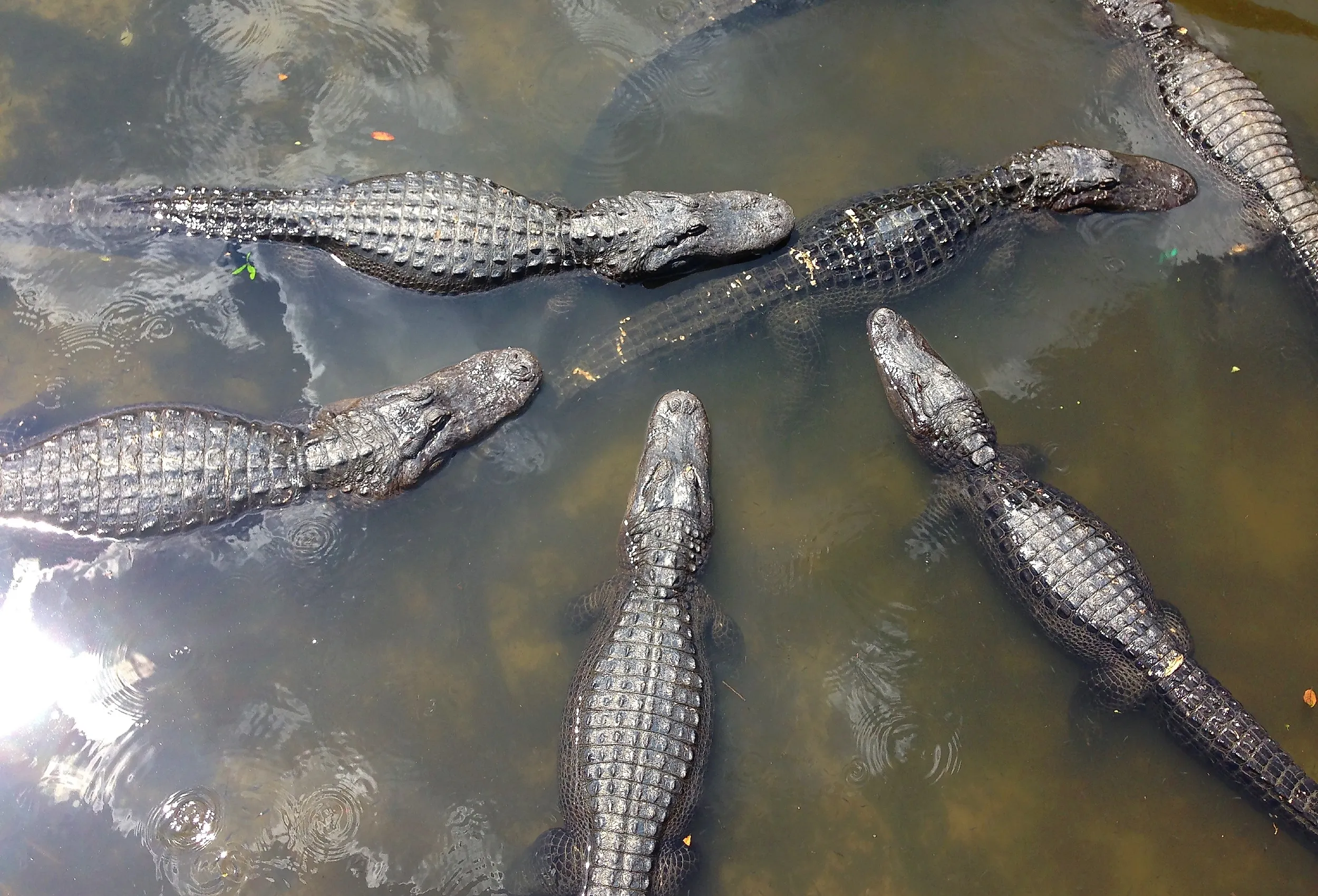
Visit the right wetland, and you will notice something spooky. Inside the park boundary, the water is thick with alligators. Cross the line, and they seem to vanish. It genuinely looks like the gators read the sign, checked the map, and decided to be law-abiding reptiles. They did not, because alligators cannot read and do not care about property lines. What is really happening is that the park boundary aligns with an invisible wall that alligators actually do obey. In fact, there are four such walls, and once you know them, the whole mystery dissolves. Here is what actually stops an alligator in its tracks.
Alligators Cannot Read (Sorry)

Let's clarify this right away. Alligators don't stop at boundaries because of the boundary itself; they react to habitat conditions limited by four key physical factors: temperature, freshwater availability, salinity, and aridity. An alligator can move freely through areas that satisfy all these conditions, but cannot survive where even one is missing. They often seem to halt at park boundaries because these usually mark one of these limits. Essentially, the alligator is driven by its biological needs, and the park boundary just happens to align with these natural constraints.
The Cold Wall: Why They Stop Going North

The biggest wall of all is cold. Alligators are ectotherms, meaning they cannot generate their own body heat, so a run of hard freezes can be a death sentence, especially for smaller juveniles that lack the body mass to ride it out. This is why their established breeding range simply stops in coastal North Carolina, the northern edge of the gator world. Concrete proof sits right there on the map: the northernmost self-sustaining populations live in and around North Carolina's Merchants Millpond State Park, the Alligator River area, and the Great Dismal Swamp on the Virginia line. Push past that, and you only get "ghost gators," lone wanderers occasionally spotted as far north as Maryland who quietly die during their first real winter. They can survive a brief cold snap by poking their snouts through the ice to breathe, but they cannot build a life up there.
Rule Two: Follow the Freshwater

Alligators are freshwater creatures that need constant access to water to hunt, hide, and stay hydrated. This creates very clear boundaries on a map. For example, in Georgia's vast Okefenokee Swamp, which houses Stephen C. Foster State Park, the blackwater swamp has one of the highest alligator populations in the world. However, crossing into the nearby dry pine forest immediately drops the alligator count to nearly zero. There are no fences or rules, just water on one side and land on the other. Since the swamp and the park are roughly the same shape, it looks like the gators follow the park boundary, but they are actually just staying along the shoreline.
Rule Three: The Salt Line

This boundary is the most elegant of all. Unlike crocodiles, alligators lack functional salt glands, limiting them to brief encounters with salty water before they must return to freshwater or face fatal dehydration. Florida's Everglades exemplifies this, as it is the only place on Earth where American alligators and crocodiles coexist. Alligators dominate the freshwater sawgrass and sloughs, while crocodiles are restricted to the brackish and saltwater mangroves along the southern coast. These reptiles are separated not by a physical barrier but by an invisible gradient of salinity in the water, forming an ecological border as tangible as a fence.
Rule Four: The Dry Western Edge

The same freshwater source that fills a swamp also limits the entire species’ range to the west. Alligators flourish throughout the moist Gulf South, but their habitat ends abruptly in central and eastern Texas and southeastern Oklahoma, where the humid wetlands give way to drier regions. Insufficient permanent water prevents their spread. Texas vividly illustrates this contrast: places like Brazos Bend State Park near Houston are full of alligators in their lakes and marshes, whereas the drier western areas have almost none. Studies even show that Texas gators’ movements expand and contract with local water levels. Water availability is crucial—where water disappears, so do the alligators.
So Why Does It Match the Park Line?

Now the whole thing clicks into place. State parks are often drawn around a specific natural feature: a spring-fed river, a cypress swamp, a coastal freshwater marsh, or a bay lake. That feature precisely determines whether alligators can live there, so the surveyor's boundary and the edge of gator habitat end up tracing nearly the same line. Protection amplifies the effect because a park shields its water from being drained, developed, or hunted out. Alligators concentrate inside the safe green rectangle and thin out the moment the protected habitat ends. The gator never saw the sign. It just so happens that the people who drew the park lines were following the same water, the same warmth, and the same absence of salt that the alligator was following all along. Two very different mapmakers, nature and the state, quietly arrive at the same border.