The State Parks That Should Have Been National Parks
Maine’s highest mountain could have become the centerpiece of a national park. The man who gave it to the state helped stop that from happening. Across the country, several places now managed as state parks once appeared in national park proposals, including a 97,000-acre plan on Kauai and a Southern California proposal covering more than a million acres.
Federal inspectors liked what they saw. Getting everyone else to agree proved much harder. Residents worried about losing hunting grounds, and farmers feared new restrictions. In Maine, Katahdin’s benefactor believed the mountain already had the protection it needed. Those arguments make for some lively park history, especially when you can hike out and see what everyone was arguing over.
Baxter State Park, Maine

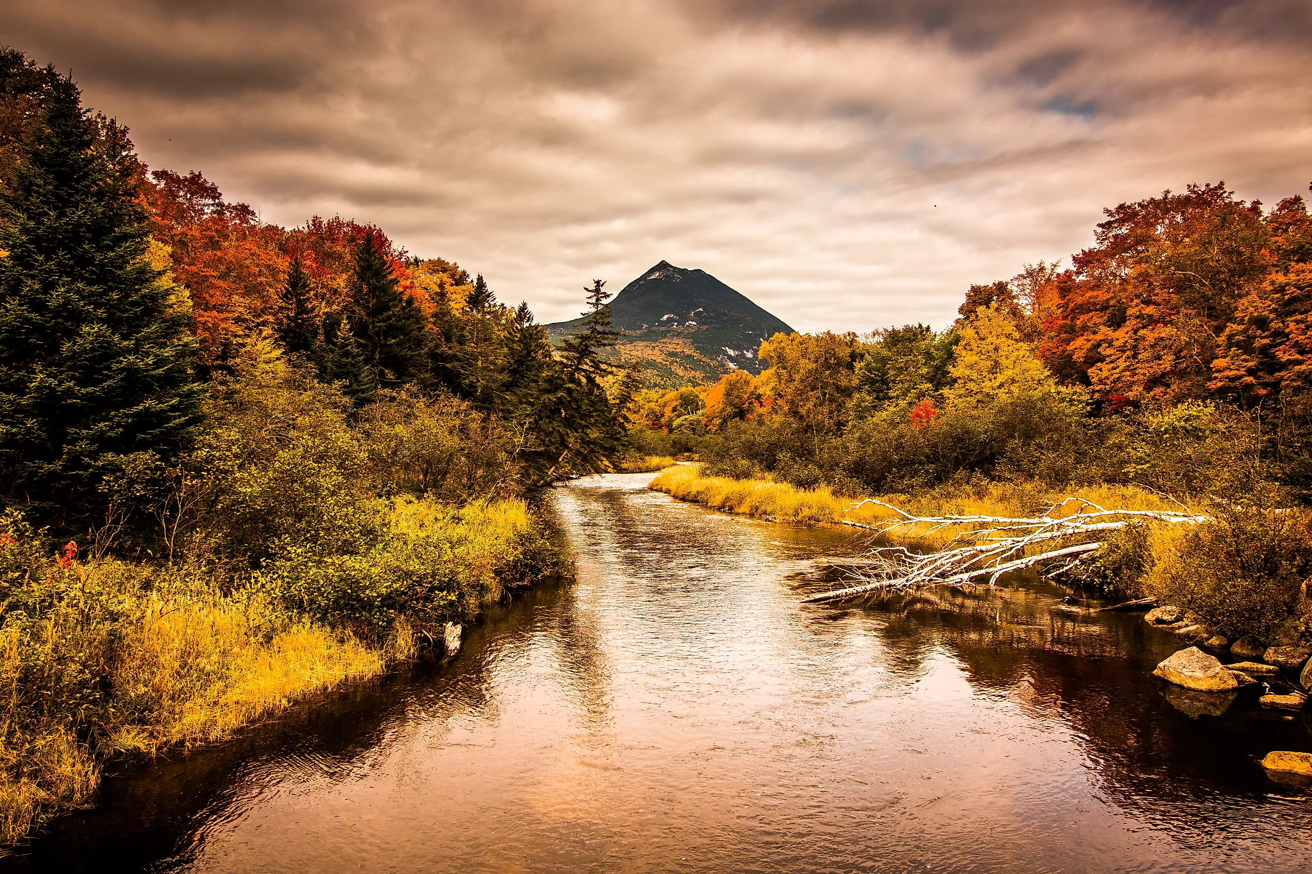
Katahdin rises above Baxter State Park’s 209,644 acres, marking the northern end of the Appalachian Trail. For hikers arriving after months on the AT, Baxter Peak is the finish line. For day hikers, reaching it by the Hunt Trail means a demanding 5.2-mile climb followed by the same distance back down. Allow 8 to 12 hours for the round trip. The mountain’s famous Knife Edge extends 1.1 miles between Baxter Peak and Pamola Peak along a narrow glacial ridge.
That mountain was central to Representative Ralph Owen Brewster’s 1937 proposal for Katahdin National Park. His bill would have given the federal government ten years to assemble the land through donations. Percival Baxter, the former Maine governor who had bought Katahdin from Great Northern Paper in 1930, wanted no part of it. He had given the mountain to Maine on the condition that it “shall forever be left in the natural wild state,” and he fought to keep it under the arrangement he had chosen.
Baxter lobbied against the bill until it died in the 75th Congress without action. He later took considerable credit: “In all modesty I can say that had it not been for my opposition, Brewster’s bill would have become law.” Visitors still experience the mountain on the park’s carefully controlled terms. Parking at its busiest trailheads requires advance planning, though you needn’t climb Katahdin to enjoy a visit. Sandy Stream Pond is a half-mile walk from Roaring Brook and a good place to watch for moose.
Adirondack Park, New York

Adirondack Park already covers six million acres, more than Yellowstone, Yosemite, Grand Canyon, and Glacier national parks combined. Roughly half is privately owned. In 1967, Laurance Rockefeller, brother of Governor Nelson Rockefeller, proposed turning about 1.7 million acres of the central Adirondacks into a national park.
The idea met resistance from people who had quite different reasons for wanting to keep federal management out. Hunters would lose access to hunting grounds within the proposed national park. Conservationists questioned why New York should alter its constitutional “forever wild” protections to accommodate it. That October, the Tupper Lake Village Board voted unanimously against the proposal. When Conservation Commissioner R. Stewart Kilborne’s January 1968 report failed to endorse it, the plan was shelved. Hunting and trapping remain permitted in season across the state’s Forest Preserve.
You can appreciate the scale of the Adirondacks from Whiteface Mountain, New York’s fifth-highest peak at 4,867 feet. The Veterans Memorial Highway climbs more than 2,300 feet in five miles above the Toll House. Near the road’s end, a stone castle stands beside the approach to a tunnel and an elevator that rises 27 stories inside the mountain to the summit. Mount Marcy, the state’s highest peak at 5,344 feet, asks considerably more of your legs: its popular hiking route covers 14.8 miles round trip with about 3,166 feet of climbing.
Ricketts Glen State Park, Pennsylvania

Waterfalls come in quick succession along the Falls Trail at Ricketts Glen State Park. Twenty-one of the park’s 22 named falls lie along the route, including 94-foot Ganoga Falls. Starting at the Route 118 parking areas, the full loop covers 7.2 miles. Even Glen Leigh, just one branch of the route, has eight named waterfalls.
Federal interest came before Pennsylvania acquired the glens. According to the state park agency, the area “was approved as a national park site in the 1930s,” but World War II ended the plan. In 1942, the heirs of Colonel Ricketts sold Pennsylvania 1,261 acres containing the Falls and Glens. Ricketts had once owned or controlled more than 80,000 acres in the surrounding area.
The state park has since grown to 13,193 acres, though the waterfall circuit remains its big attraction. Give yourself time to enjoy it and watch your footing on the steep sections. Winter changes the outing considerably: the Falls Trail closes to everyone except properly equipped ice climbers and hikers.
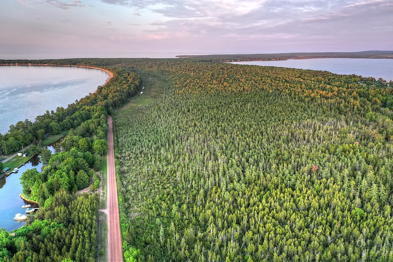
Porcupine Mountains Wilderness State Park, Michigan

Lake of the Clouds is an excellent introduction to the Porcupine Mountains. An accessible walkway leads to an observation platform above the 133-acre lake, with forest spreading across the surrounding hills. For a longer look, follow the Escarpment Trail as it climbs and dips along the ridgeline for more than four miles.
A 1928 petition sought national park status for this part of Michigan’s Upper Peninsula. The Great Depression stalled discussions, and World War II further delayed park development. With commercial mining and logging threatening the area, Michigan’s legislature appropriated $1 million to buy the land. In 1945, the Porkies became the state’s first wilderness state park.
Today, the park covers about 60,000 acres. A half-mile path from the Summit Peak parking area reaches an observation tower on the 1,958-foot summit, giving visitors another broad view over the forest. Staying overnight lets you explore beyond the main overlooks. The park has 19 backcountry cabins, sleeping two to eight people each, for anyone happy to trade a roadside room for a few nights in the woods.
Palo Duro Canyon State Park, Texas

Palo Duro Canyon had supporters campaigning for a national park as early as 1906. Bills followed in Congress in 1908, 1911, and 1915. When Yellowstone Superintendent Roger Toll investigated potential park sites in Texas during the winter of 1933-1934, he considered the canyon worthy of national park attention.
Toll described Palo Duro as “picturesque and interesting,” while Big Bend impressed him as a “scenic spectacle.” Big Bend eventually received national park status. Palo Duro got another federal review in 1938 and 1939, this time as a possible national monument, but the cost of acquiring the land became a sticking point. A January 1940 agency memo noted that Texas had already contracted to buy part of it at a price federal officials considered far too high.
The canyon is the second-largest canyon system in the United States, stretching almost 120 miles and reaching depths of up to 800 feet. About 28,000 acres lie within the state park. Its best-known hike, the Lighthouse Trail, runs 2.8 miles each way toward the rock formation that gives it its name. Take the park’s warning seriously: reaching the Lighthouse is possible, “but it’s not easy.” For an evening that gives your feet a rest, the summer TEXAS Outdoor Musical takes place at the Pioneer Amphitheater, where the production debuted in 1966.
Anza-Borrego Desert State Park, California

Anza-Borrego is California’s largest state park at more than 600,000 acres. A federal proposal would have protected an even larger area. In February 1935, National Park Service landscape architect P. T. Primm and California state parks official Guy L. Fleming reported that “there are real possibilities here for developing a great National Park.”
Their proposal would have connected the Borrego Desert with Cuyamaca and San Jacinto state parks across more than a million acres. Local opponents viewed the expanding park plans as a land grab, and the enormous national park never materialized. Anza-Borrego developed under state management instead.
There is plenty to fill a day here, starting with the three-mile round trip on the Borrego Palm Canyon Trail. Peninsular bighorn sheep live in the surrounding country, so keep an eye on the slopes as you walk. Later, Font’s Point offers a view over the deeply eroded Borrego Badlands. Reaching it requires a drive along a sandy, four-mile primitive road, so check conditions and vehicle suitability before setting off.
Sunset is a popular time at the overlook, but consider staying in the park overnight, too. Anza-Borrego is a certified International Dark Sky Park, and a campsite at Borrego Palm Canyon gives you a chance to enjoy the stars after the day’s exploring.
Silver Falls State Park, Oregon

At Silver Falls State Park, you can walk behind a 177-foot waterfall and watch the water drop past the opening in the rock. South Falls is one of four waterfalls with a trail passing behind them on the Trail of Ten Falls. The full 7.2-mile loop links the Canyon and Rim trails, with the South Falls Lodge nearby for a break before or after the walk.
Oregon has one national park, Crater Lake, and Silver Falls has twice been proposed as another. In 1926, a National Park Service inspector rejected the area because it was “too heavily logged over and farmed.” The waterfalls were impressive, but the surrounding land did not meet the inspector’s expectations.
The next attempt ran into a different objection. In February 2008, a House Joint Memorial urged Congress to designate Silver Falls a national park. Opponents worried that the stricter federal clean-air standards accompanying the designation could limit farming nearby. State Senator Fred Girod tabled the effort after opposition proved stronger than expected. Silver Falls stayed a state park, and visitors still get to take that wonderfully unusual walk behind the water.
Koke'e and Waimea Canyon State Parks, Hawaii

From around 4,000 feet up in Koke'e State Park, visitors can look down into Kauai’s Kalalau Valley. Nearby, Waimea Canyon reaches roughly 3,600 feet deep. These adjoining state parks give visitors access to some of the island’s most dramatic views, and in the 1960s, federal officials hoped to include the area in a much larger national park.
The National Park Service proposed a Kauai National Park of about 97,000 acres in 1965. By 1967, Interior Secretary Stewart Udall was describing it as “one of the most important and significant areas proposed for addition to the National Park System.” Opponents had a much shorter description: “Federal land grab.”
For residents, the debate involved familiar activities as well as land ownership. A 1999 account in The Garden Island described concerns about keeping access to plum picking and hunting. It also reported that politicians, including then-U.S. Representative Spark Matsunaga, opposed the plan because they wanted to build a hydroelectric dam in Koke'e. The national park proposal failed.
Today, the overlooks make it possible to appreciate the terrain without taking on a major hike. Reaching Kalalau Valley on foot is a separate undertaking: the Kalalau Trail follows the Na Pali Coast for 11 miles and requires a permit. For a visit to the upland parks, one parking ticket works at both Koke'e and Waimea Canyon.
A national park designation would have changed how these places were managed and, in some cases, what people could do there. That was precisely why the proposals drew such fierce arguments. Their histories are worth knowing when you visit, but leave time for the trails. At Silver Falls, you can spend a morning walking behind waterfalls and decide for yourself what that inspector missed in 1926.