This Ozarks Scenic Byway Is The Road Trip Of A Lifetime
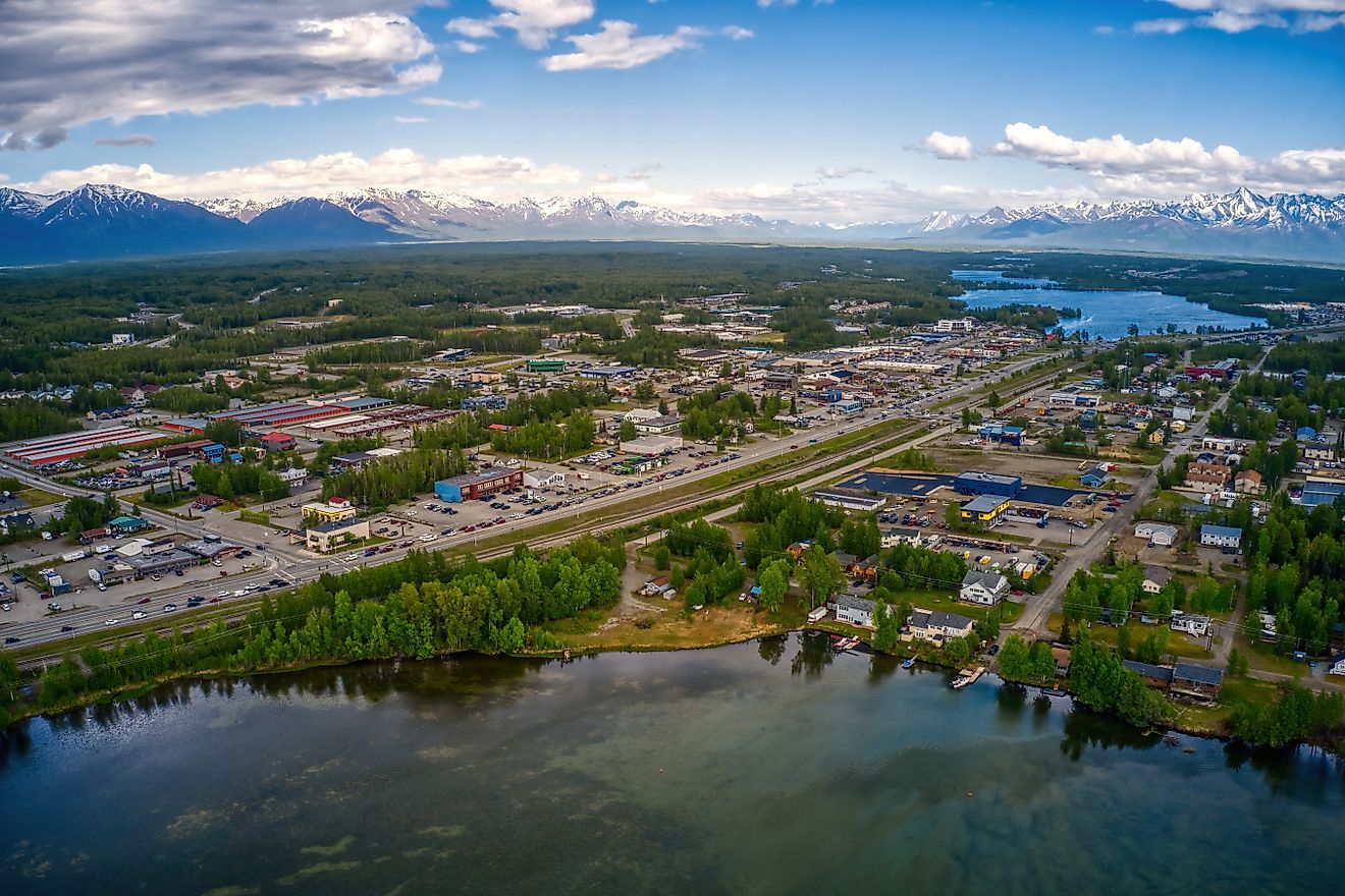
The Ozarks, also known as the Ozark Mountains, are a fascinating region in the south-central United States, offering a wealth of attractions. This region encompasses approximately 50,000 square miles and primarily includes large portions of Missouri and Arkansas, as well as smaller portions of Oklahoma and a small part of Kansas. It comprises heavily forested highlands and mountains, as well as lakes, rivers, and dozens of tight-knit towns and cities that complement the surrounding natural beauty with historic attractions, great food, and friendly locals. One can spend a great deal of time in this region and still not explore all it has to offer, which includes hundreds of campsites, multi-use trails, unique caves, and waterbodies open for fishing, floating, and swimming. Of course, the best way to explore a region so massive and full of adventures is by filling the gas tank and stepping on the pedal. Thankfully, hundreds of miles of roads crisscross through this landlocked paradise, setting the stage for memorable road trips filled with picturesque scenery and outdoor activities. Among all of those roads, however, one stands out for being an absolute marvel and a must-experience at least once. Stretching over 300 miles, this Ozark scenic byway is truly the trip of a lifetime.
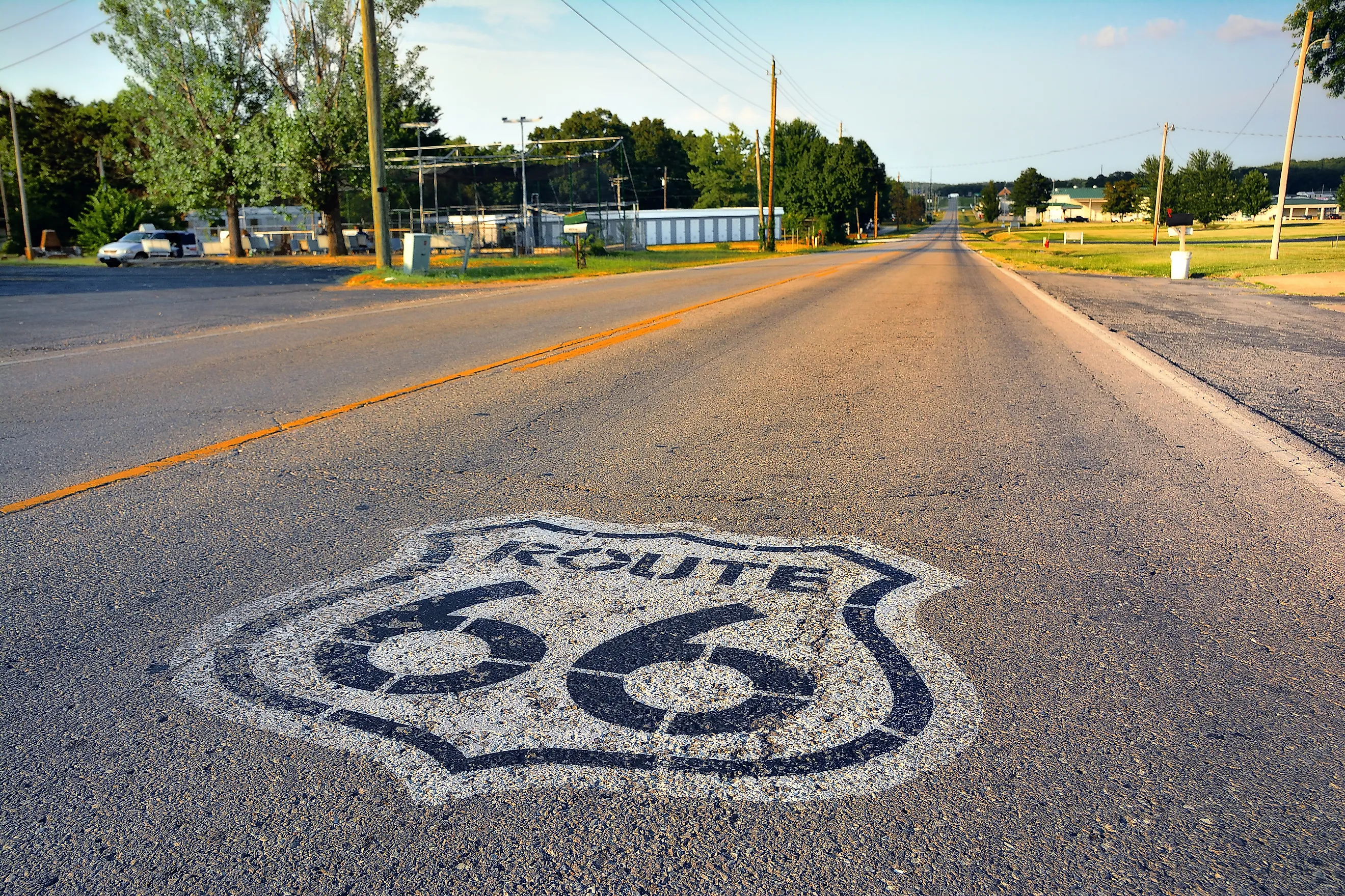
Missouri Route 66

Missouri Route 66 is a section of the US Route 66 that once stretched over 2,400 miles from Illinois to California. US Route 66, also known as the Mother Road, was established in 1926 and served as the primary route for westward migration during the Dust Bowl. Over the years, the route was modified and eventually replaced by the Interstate Highway System in the 1970s. However, a significant portion of the route is now preserved as Historic Route 66, even though most of it has been replaced by modern freeways, such as Interstate 44.

Today, the Missouri section of the Historic Route 66 is mainly served by Interstate 44. The byway is 317 miles long and stretches right through the heart of the Ozarks from St. Louis to Joplin, which is near the border with Kansas and Oklahoma. An actual trip of a lifetime, this scenic byway is not just full of natural beauty and outdoor adventures, but rich history, vibrant culture, and numerous restaurants across over 10 towns. An itinerary is undoubtedly needed to get the best of this stretch through the Ozarks, and below is one that covers some of the road’s best features. While the duration of the trip is at the discretion of each traveler, a minimum of two days is recommended for a delightful experience.
First Phase: The Pleasures From St. Louis To Pacific

St. Louis, Missouri’s second-largest city, is the best place to begin the journey through the Ozarks on Missouri Route 66. The city is also home to St. Louis Lambert International Airport, the largest airport in Missouri, which provides service to dozens of domestic and international destinations. Once here, travelers can enjoy an early breakfast with eggs at Hatch’d STL and check out some of the city’s top attractions, one of which is the Gateway Arch.

Located on the Mississippi Riverfront in downtown St. Louis, this attraction is an architectural marvel and considered the world’s tallest arch with a height of 630 feet. The arch was built as a monument to the westward expansion of the United States, and is nicknamed the Gateway to the West. Travelers are encouraged to take a picture with the arch before hitting the route, which has also historically been the primary road for migrating to the west. On the way, a stop at the Route 66 State Park can be made for a quick getaway in nature. This park, situated on the Meramec River, features a boat ramp, picnic areas, multi-use trails, and a visitor center with exhibits that highlight the history of Route 66. From here, it's a smooth ride at least to the town of Pacific, where the Jensen Point Overlook awaits to present breathtaking views of the Meramec River, the road below, and the ever-changing forests of the Ozarks.
Second Phase: The Ozarks Proper (Pacific To Rolla)

Some of the best scenery and roadside attractions of the Ozarks are seen on the stretch of Missouri Route 66 between Pacific and Rolla. This stretch covers approximately 72 miles and is ideal for stopping by the roadside to take a picture of the rolling hills and forests without feeling rushed by too many oncoming vehicles. Most notably, this stretch passes through the town of Stanton, from where one can explore Meramec Caverns, a natural wonder in the Missouri Ozarks. This cave system is a must-visit attraction on Missouri Route 66, stretching 4.6 miles and featuring stalactites, stalagmites, and other rare cave formations. Tours are offered year-round to explore the well-lit interior of the cave, which can also include canoeing on the Meramec River and a zipline ride.

It takes less than two hours to explore the caverns, after which travelers can head to the nearby Meramec State Park just outside Sullivan for a full dose of outdoor adventures in the Ozarks. In addition to more cave tours, this park is a fantastic place to fish, swim, kayak, and float on the Meramec River. It also offers developed campsites and over a dozen miles of hiking trails that wind along the river and through bluffs, wildflowers, and woodlands, where black bears and other native animals can be spotted. Those hungry from all the adventures and driving at this point can head back to Sullivan for a hearty meal at Silo Restaurant. The restaurant offers a diverse menu featuring beef steaks, burgers, seafood, fries, soups, salads, and additional options.

From here, the next recommended stop is 40 minutes away in Rolla, where one can spend quality time shopping for antiques and collectibles at the Rolla Antique Mall, the most visited in the region. Rolla is also the closest town to Mark Twain National Forest, Missouri’s only national forest. This forest is an excellent place to soak in the beauty of the Ozarks, as it features hundreds of miles of multi-use trails that slice through dense woods, and dozens of streams, rivers, and lakes that are open for fishing, boating, and swimming. Thankfully, the park has well-equipped campgrounds for those who wish to stay overnight here.
Third Phase: Rolla To Springfield, The Birthplace of Route 66

The Tater Patch in Rolla is a recommended place to fill up on some comfort food before embarking on the third phase of this Ozarks scenic byway. On the way, one can slow down to admire the 1923 Devil's Elbow Bridge, the Big Piney River, and the surrounding Ozarks landscape. In winter, the steel bridge is decorated with thousands of lights, making it even more beautiful to behold. Next, travelers can stop at the highly-rated Uranus Fudge Factory and General Store in St. Roberts to stock up on fudge and snacks for the rest of the peaceful and scenic trip to Springfield, where things can get really exciting.

Regarded as the birthplace of Route 66, this town is notable for being the location where the road was named in 1926. It is both historic and exciting. Here, travelers can learn more about the historic highway, Springfield, and Green County in general at the Historic Museum on the Square. Notably, Springfield is home to the Fantastic Caverns, one of the top attractions highlighting the natural splendor of the Ozarks. This cavern is the only one of its kind in North America where guests can enjoy jeep-drawn tram rides along an underground river and through a lit cave full of stunning formations. In the meantime, a visit to Springfield is an opportunity to savor some unique flavors, and the Van Gogh Eaterie is a great place to start. This restaurant offers a culinary journey to the Netherlands with its Dutch-inspired delicacies. While in the area, it won’t hurt to take a quick photo with the World’s Largest Fork, a 35-foot fork on Chesterfield Street, weighing around 11 tons.
The Final Stretch to Joplin

From Springfield, it's a peaceful 71-mile ride through quiet towns and areas flanked by trees and expansive fields to Joplin, the official end of the Missouri Route 66. At Joplin, there’s plenty to explore, including Grand Falls, the largest continuously flowing natural waterfall in Missouri. Located on Shoal Creek, this waterfall is 163 feet wide and plunges 12 feet to a rock ledge, and it can be seen year-round, even in winter.

Elsewhere in town, Crabby’s offers delicious seafood, while the Route 66 Mural Park has three large tile murals that commemorate the significance of the Mother Road. Travelers are encouraged to take photos with these murals as a testament to the completion of Missouri Route 66, the most exciting road in the Missouri Ozarks.
Missouri Route 66 combines history with natural beauty and exciting adventures to deliver one of the most memorable road trips in the Ozarks. From the Gateway Arc, which marks the beginning of the historic route to the Route 66 Mural Park in Joplin, this road is truly a trip of a lifetime. Besides the attractions recommended above, there’s much more to enjoy for those willing to take longer detours from the main road. For one, the Lake of the Ozarks is a great attraction worth checking out, but it’s approximately 40-43 miles from the Missouri Route 66 in Lebanon, making it a more time-consuming destination to explore. Those willing to take the detour, however, will be met with one of the premier lake destinations in the Midwest, where a myriad of water sports can be enjoyed. This is in addition to land-based activities like hiking, biking, and camping at the Lake of the Ozarks State Park. That said, make out plenty of time today and hit this scenic byway in the Ozarks for the trip of a lifetime.