Glendale, Arizona
Glendale is a big city situated in Maricopa County in the US State of Arizona. The city is placed in the Salt River valley, approximately 14km northwest of Phoneix. The Glendale Community College is a major educational institution in Glendale, along with the American Graduate School of International Management. While the city's early history was significantly influenced by alternating periods of flood and drought, dams and other infrastructure constructed in the late 19th century stabilized the water supply. Over the years, Glendale quickly developed into a center for trading agricultural goods.
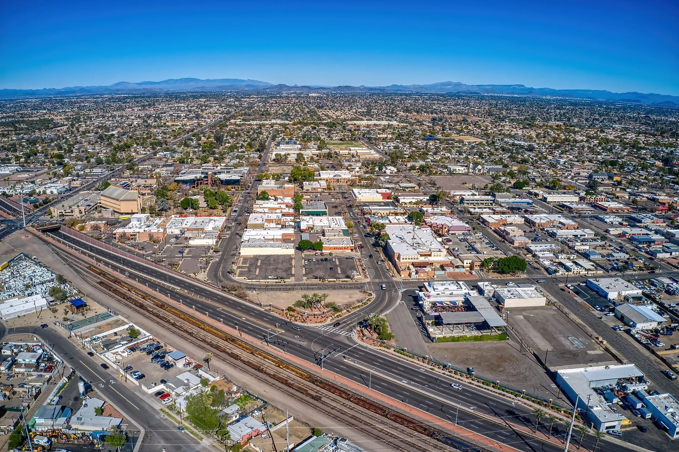
Geography Of Glendale

Glendale covers a total area of 168.59 sq. km, of which 167.53 sq. km is occupied by land, and 1.06 sq. km is covered by water. The New River and Agua Fria River flow southwards through the western edge of the city limits. Glendale is placed in the Salt River Valley and sits at an elevation of 351m. The Salt River valley is surrounded by the Phoenix and McDowell Mountains, whose peaks represent the oldest layer of volcanic rock and sediment from the Proterozoic era. The layers of granite, basalt and sedimentary rocks provide evidence of the area's early volcanic activity. Over thousands of years, erosion and the Salt River carved the valley out of the rock.
The construction of the Arizona Canal in the late 1880s led to the founding of Glendale along with a cluster of other communities in the area. The Roosevelt Dam was constructed northeast of Phoenix between 1905 and 1911, creating Theodore Roosevelt Lake. The Horse Mesa Dam was built in 1927, creating Apache Lake, and the Mormon Flat Dam (1923-25) created Canyon Lake. The Stewart Mountain Dam, completed in 1930, created Saguaro Lake. Together, the four reservoirs form the Salt River Project, which creates the water supply for the Phoenix Metropolitan Area, of which Glendale is a part. With the water supply stabilized, the area became a haven for agriculture.
Climate Of Glendale

As per the Köppen Climate Classification, Glendale experiences a desert climate. Summers are extremely hot, and winters cool, with clear skies most of the time. Average daily highs range from 44 °F (7 °C) in December to 106 °F (41 °C) in July and August. The temperature rarely climbs over 112 °F (44 °C) or dips under 36 °F (2 °C). Rainfall is relatively rare throughout the year and averages just 231 mm or 9.1 inches annually. The year's wettest month is typically August, with an average of 5.6 days that include at least 0.04 inches of rain. The driest season is spring, from about March 20 to July 6. May sees the least rainfall in a year, with an average of only 0.6 days with 0.04 inches of rain or more.
Brief History Of Glendale

Paleo-Indian tribes lived in the area from about 12,000 years ago, followed by the Hohokam people in the Glendale area. The Hohokam left over 1,500 petroglyphs etched into the basalt rocks. They developed a system of canals along the Salt and Gila rivers that irrigated the land, creating a center of prehistoric civilization in the area. Large villages clustered along the canals. The Hohokam created a complex culture, with thousands of people living in the Glendale and greater Phoenix area at its peak. For reasons lost to history, the people and their culture vanished in the mid-15th century. Their descendants became the Pima, who occupied the area when the first Spanish expeditions arrived in the area in 1539 and 1540. Although missions were established nearby, the Spanish did not settle in the Phoenix area.
In 1848, after the Mexican War and the subsequent Gadsden Purchase, the United States took possession of what is now Arizona, including Glendale. In 1862, Arizona was split from the Territory of New Mexico. In 1884, Alex Silva became the first resident of Glendale. In 1891, Murphy and Burgess A. Hadsell, a colonizer for the German Reformed Church, formed the Temperance Colony of Glendale as an agricultural community of about 70 families. The city celebrates 1892 as its official anniversary, the year when the New England Land Company and Murphy surveyed the first residential area.
There was a drought during the first three years of Glendale’s existence. Despite the difficulties, the town grew slowly, building a school and other public facilities. The town was incorporated in 1910. As Glendale continued to experience rapid growth through the mid-20th century, accelerated by the influx of servicemen and related industries during WWII, it began to consume the surrounding farmland in urban and suburban development. That process continued into the late-20th and 21st centuries, including new public buildings and facilities, completing the transition from an agricultural town to an urban center with a diversified economy.
The Population Of Glendale
In 1909, there were 22 residents of Glendale registered to use the telephone, a number that jumped to more than 250 by 1912. When the town was incorporated in June 1910, the population stood at over 1,000. In 1940, the population was 4,800 – just before the construction of the two military airfields. By 1950, it stood at 8,179. A decade later, in 1960, the number of residents climbed to 15,696. The city of Glendale annexed the town of Maryville in 1961, bringing the population to more than 30,000. Between 1964 and 1975, the city's population grew from 42,000 to 67,000. In 2010, the US Census estimated Glendale's population at 226,721, and in 2020, at 249,630. In 2010, the population of the Phoenix-Mesa-Glendale Metro Area was estimated at 4,192,887, and in 2020, at 4,845,832.The population of Glendale and greater Phoenix overall have been fluid since the late 20th century, even while experiencing double-digit growth. Statistics also show that two of every three people who move into the region also eventually move away.
Economy Of Glendale

William J. Murphy, who had come to work on the railroads, contracted with the Arizona Canal Company to build a 40-mile canal from the Salt River across the north valley to the Agua Fria River, a project that was completed in 1885. A man called William Barlett purchased what would become a 640-acre fruit farm in 1886, launching Glendale’s history as a farming community.The Santa Fe Railroad Depot was established in 1895, and Glendale became an important agricultural center where produce was shipped all over the country. The Beet Sugar Factory was built in 1906, leading some to dub Glendale as Sugar City. A large ice plant supplied the railroad cars that were shipped across the country during the early 20th century. The worst of the Dust Bowl years (the mid-1930s to 1940) did not affect the area specifically; however, the aftermath of the 1929 market crash, along with prolonged drought that affected a large region of the surrounding Southwest, created a period of fluctuating fortunes in the city, and growth slowed.The sugar beet industry, never entirely suited to the region, collapsed by the mid-20th century but was replaced by cotton, hay, melons, lettuce, and other agricultural goods. During the Second World War, the Thunderbird Field and Luke Air Field, the largest jet fighter training center in the world, were constructed, bringing thousands of servicemen and their families to the region. The city’s budget grew tenfold between 1940 and 1950.
Attractions In Glendale

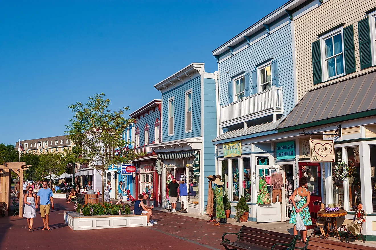
Glendale’s natural beauty can be explored in a variety of ways. The mysterious history of the Hohokam can be explored near Glendale in the Deer Valley Petroglyph Preserve, maintained by Arizona State University, with a self-guided trail through Hedgpeth Hills, where several petroglyphs can be viewed up close. The award-winning Xeriscape Demonstration Garden showcases sustainable agriculture practices with hundreds of drought-resistant plants. From its historic downtown to the many shopping centers across the city, there are shopping opportunities at every end of the budget scale. Many visitors come to Glendale to enjoy professional sports, including the NCAA regionals, baseball Spring Training, and other events.