8 Great Road Trips to Take in Pennsylvania
In Pennsylvania, the interstate almost always has a slower twin a few miles over, and the slower one is usually the better drive. On one, you can pull over and walk out onto a sandstone ledge above a reservoir. On another, you can leave the car at a trailhead and count hawks riding the wind down a ridge. A few run through valleys where a horse and buggy in front of you is just Tuesday. These eight are worth the extra time because of what sits along them, not in spite of it.
Longhouse National Scenic Byway

This 36-mile loop out of Kane circles the Kinzua Creek arm of the Allegheny Reservoir, entirely within the Allegheny National Forest. Drive PA 321 north out of town and you reach the byway proper about eight miles on, in a stand of hardwoods and hemlock on a flat stretch of plateau near the Bradford Ranger Station. The best stop is on the PA 59 leg. Rimrock Overlook sits on a sandstone outcrop split by deep crevasses, and a 1.3-mile trail runs down to the shoreline at Kinzua Beach. Farther on, turn right and climb to Jakes Rocks Overlook for a second angle on the water. You keep the reservoir in view most of the way, with its 91 miles of shoreline and a 27-mile reach that ends at the New York line. Kiasutha Recreation Area makes a good last stretch of legs before you close the circle back into Kane on PA 321.
US 62 Along the Allegheny River

On few roads do you keep water in view as faithfully as you do on US 62 over its 55 miles from Oil City up to Warren, a little over an hour if you never stop, which you will. You cross the Allegheny River three times, and the first crossing is the one to slow down for. On the Hunter Station Bridge, a 1934 truss, the roadway sits through the middle of the ironwork rather than along the bottom, so you drive inside the structure instead of over it. Tionesta is next, a river town worth a stop, and just north of it you pass the Allegheny Islands Wilderness, a scatter of forested islands left standing in the channel. At Tidioute you enter Warren County. From there you stay close to the bank until the Irvine Bridge, the last crossing, just before the US 62 and US 6 junction at the bypass around Warren.
PA 44 Through the Susquehannock

If you want a drive where the shoulder stays empty for miles, this is it. Leave US 6 east of Coudersport, turn south onto PA 44, and you have a 60-mile run to Waterville with 262,000 acres of the Susquehannock State Forest on either side. The reason to make this drive is right on the road at 2,300 feet: Cherry Springs State Park, 82 cleared acres that the state named its first Dark Sky Park in 2000. There are two fields for two kinds of visitor. The Night Sky Public Viewing Area suits a few hours of stargazing, while the Overnight Astronomy Observation Field is open all night to anyone who registers. The rustic campground is open from mid-April into late October, and the park itself is open year-round. The 85-mile Susquehannock Trail is nearby for anyone ready to trade four wheels for two feet. South of the park you descend through Haneyville and into the Tiadaghton State Forest, then reach Waterville at the meeting of Pine Creek and Little Pine Creek.
The Lincoln Highway Over the Alleghenies

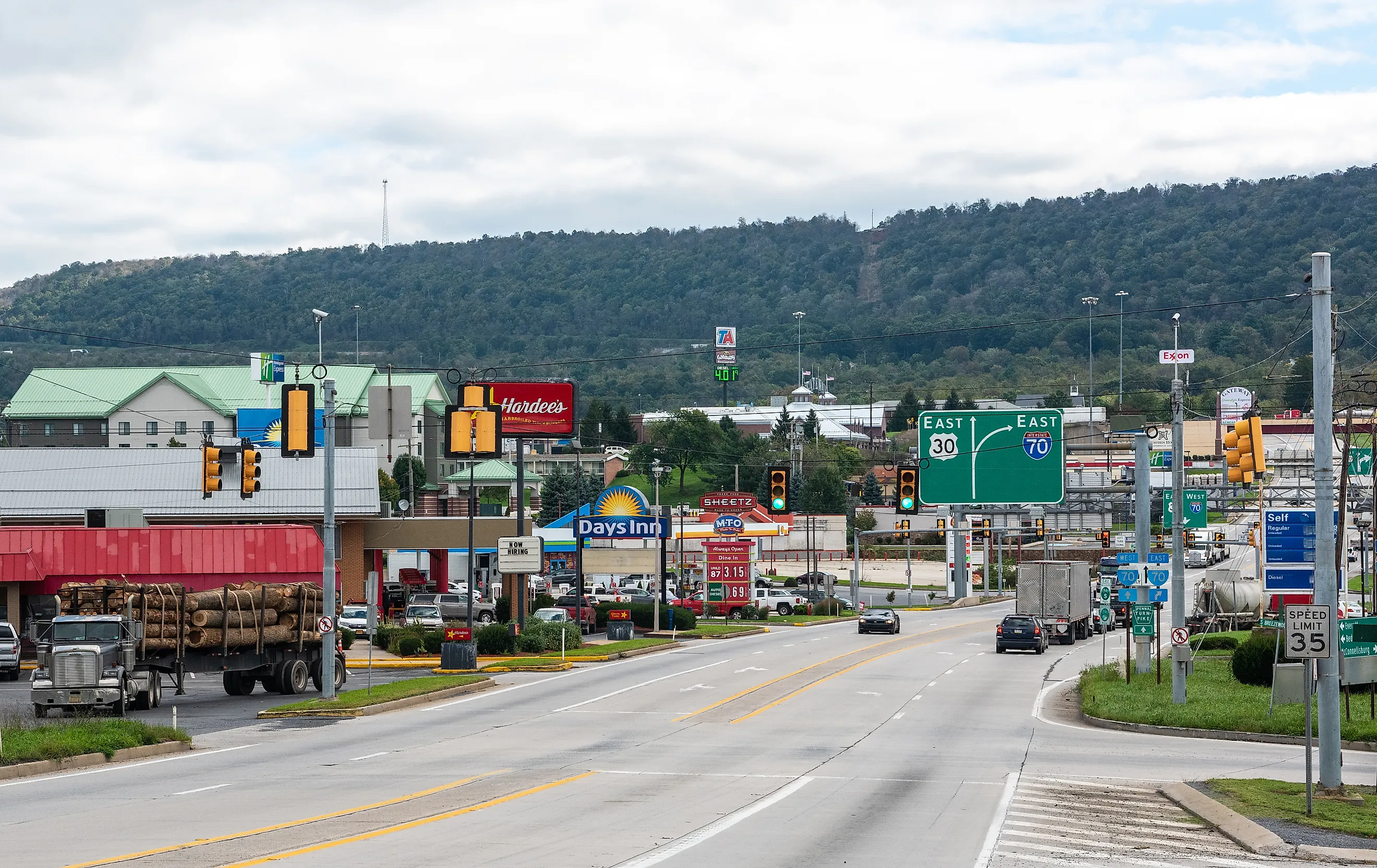
Early motorists dreaded this stretch, an hour of boiling radiators and long grades over two mountain summits. The same 47-mile climb west out of Bedford on US 30 is far easier now, and the history is the reason to take it. Allegheny Mountain is the first summit, and near the top is a pull-off at Grand View Point, where the S.S. Grand View Ship Hotel stood from 1932 until it burned in 2001. From its decks, guests looked out on an advertised view of three states and seven counties, and the view has not moved; a single whitewashed wall is all that is left. About 25 miles into the drive, you reach the only entrance to Flight 93 National Memorial off US 30. The Park Service stresses that no other entrance exists, which matters, since mapping apps still send some drivers to a closed one. Laurel Hill is the second climb, a long ridge just under 3,000 feet at its high point, and on the far side you come down into the Ligonier Valley.
PA 655 Through Big Valley

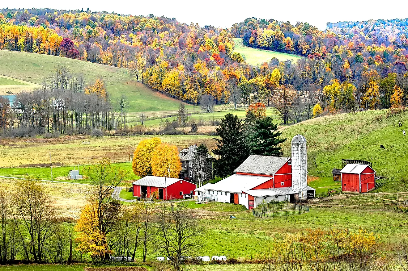
Some drives are about the land on either side of you, and this is one. Pick up PA 655 at Reedsville and follow the floor of Big Valley 15 miles southwest to Allensville, about 22 minutes without stopping. Jacks Mountain is the wall on one side and Stone Mountain the other, with farmland across the whole valley floor between them. Belleville is at the midpoint, and Wednesday is Sale Day. What began as the Belleville livestock auction is now a draw for produce and flea-market vendors from around the county, and it is the single best reason to time your drive for midweek. Amish families have farmed this valley since 1791, in the third-oldest such community still going anywhere, so a buggy ahead of you on PA 655 is routine rather than remarkable. Slow down and enjoy it. There is a vineyard and tasting room at Brookmere Winery on the same road if you would rather end the morning with a glass. Past Allensville you leave the valley and continue southwest into Huntingdon County.
PA 147 and the Millersburg Ferry

Take the other bank. Most drivers headed up the Susquehanna River stick to the four-lane on the west side, which is exactly why PA 147 is the better call: 44 quieter miles up the east shore from near the Clarks Ferry Bridge to Sunbury, close to an hour. At the start you drive a narrow shelf between Peters Mountain and the water. Millersburg, at the halfway mark, is the payoff. The Millersburg Ferry has been in service here since 1817 and is still the only way over the river between Duncannon and Sunbury. Its two boats, the Roaring Bull V and the Falcon III, are the last wooden double stern-wheel paddle boats known to be working anywhere in the United States, and the crossing is on the National Register of Historic Places. Drive your car aboard for the mile-wide trip to the Perry County shore. Service is seasonal, from May into October and dependent on water levels, on no fixed schedule, so call ahead or take your chances.
PA 895 Along the Kittatinny Ridge

Time this one for autumn and bring binoculars. Drive PA 61 north out of Hamburg to the Schuylkill Gap, where the little borough of Port Clinton sits in a notch through Blue Mountain, then turn east onto PA 895 at Molino to follow the north flank of the ridge. The full run to Palmerton at the Lehigh Gap is 36 miles, about 50 minutes, but the stop is the point. Hawk Mountain Sanctuary is off PA 895 between Drehersville and Kempton, and its counters have tallied migrating raptors here every fall since 1934, the longest such record in the world. From August into mid-December they log around 18,000 birds, with single September days above 3,000 as broad-winged hawks pass through. The best flights come a day or two behind a cold front, on northwest winds, so watch the forecast. North Lookout is at 1,521 feet, a mile of walking from the visitor center, with the Little Schuylkill River nearly 1,000 feet below. Late October is the time for the widest mix of species.
PA 487 to Ricketts Glen and Worlds End

Save the best hiking for last. Drive PA 487 north from Benton 42 miles to Forksville, a little under an hour, and one short stretch is the whole character of it: between Red Rock and Lake Jean, you climb the steep face of North Mountain. The grade is steep enough that state park guidance tells drivers of heavy trailer rigs to skip it and come in from Dushore instead. At the top is Ricketts Glen State Park, 13,193 acres across three counties. Its Glens Natural Area has National Natural Landmark status and 22 named waterfalls, the tallest of them 94-foot Ganoga Falls. The full Falls Trail circuit is 7.2 miles, and a shorter 3.2-mile loop still reaches most of the falls. In winter the trail is closed for ice, open only to registered ice climbers and properly geared hikers. From the park you drop down to Dushore, then take PA 87 southwest toward Forksville and Worlds End State Park, set in the S-shaped valley of Loyalsock Creek. Loyalsock Canyon Vista, reached by Mineral Spring and Cold Run roads, is best in fall foliage season.
Eight Roads, One Kind of Driver
A forest loop, a 15-mile valley floor, and a 60-mile crawl across empty plateau do not sound like the same trip on paper. What they share is a driver who came for the pace, not the shortcut. On every one of them, you trade speed for something better: a ledge over the water, a bird count on a ridge, a ferry older than the state's oldest bridges, a Wednesday market in Amish country. Pick the one nearest you, clear an afternoon, and let the drive be the whole point.