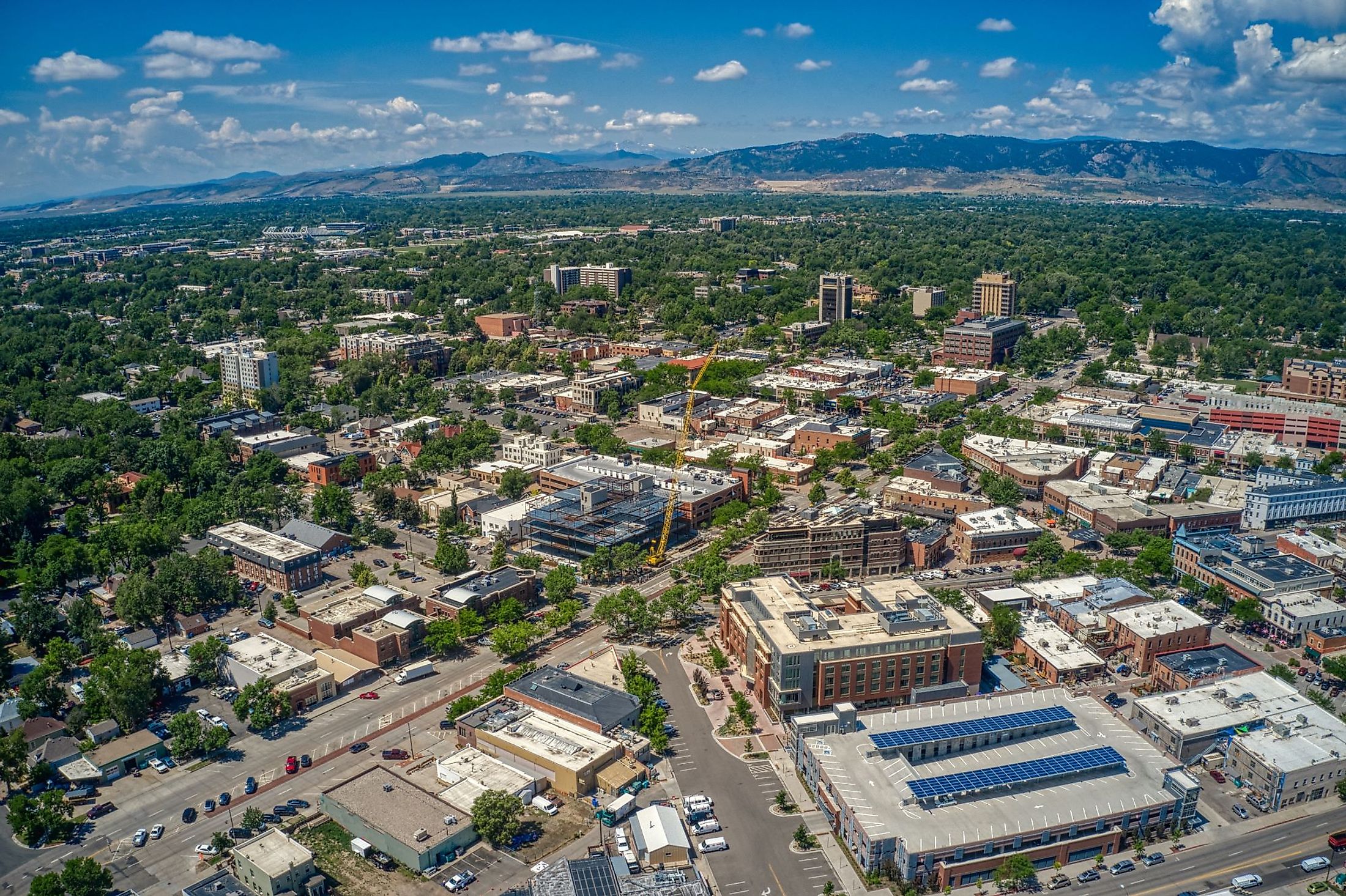
Fort Collins, Colorado
Fort Collins is the most populated municipality in Larimer County, situated along the foothills of the Front Range on the Cache la Poudre River in the US State of Colorado. Although there is no documentation, the story goes that French-Canadian fur trappers got caught in a heavy snowstorm while passing through the area in about 1820. Looking to lighten their load, they buried their gunpowder stores along the banks of a river, intending to come back and retrieve them. The river’s name, Cache la Poudre, means “hide (or hiding place of) the (gun)powder” in French. Colonel William O. Collins was the commander of Fort Laramie in Wyoming, and the original settlement was set up with his approval.
Geography And Climate Of Fort Collins

Fort Collins lies on the Cache La Poudre River, about 97 km north of Denver, where the river emerges from the foothills on its way to flow east across the Great Plains. The city is located in an area called the Front Range Urban Corridor, which stretches along the base of the foothills of the northern Front Range of the Rocky Mountains. The Great Plains lie to the east of the city. Fort Collins is located at an elevation of 1,525 m above sea level. Both Cache La Poudre River and Spring Creek run through the city, which covers a total area of 151.444 sq. km, of which 148.179 sq. km is occupied by land, and 3.265 sq. km is covered by water.
Fort Collins experiences a humid continental climate according to the Köppen Climate Classification. There are four seasons; overall, precipitation is low over the year, fluctuating from just over 1” in September to more than 12” in March. The average yearly snowfall is about 51 inches, and snow may fall between early September and late May. July, the warmest month, averages daytime temperatures of 22.8 °C, with very little rainfall (an average of only 1.56″). Weather is always variable; the city averages about 29 days per year with temperatures at 90 °F or more. December is the coldest month, with daytime highs averaging −0.4 °C and precipitation at about 7.2″. The city occasionally experiences extreme weather, such as the flash flood of 1997, when up to 14 inches of rain fell during a period of 31 hours.
Brief History Of Fort Collins

For centuries before European settlers came, the Arapaho and other native tribes traveled and hunted over the region. The North Arapaho were based in the Cache la Poudre River Valley, near the present-day city. After years of conflict, the Arapaho, Cheyenne, and other native tribes were relocated to Oklahoma via the 1865 Little Arkansas Treaty and the 1867 Medicine Lodge Treaty. An existing encampment on the Cache la Poudre River named Camp Collins was located in what is now the town of LaPorte. Built in 1862 by the ninth Kansas Volunteer Cavalry during the Indian Wars, its purpose was to protect travelers and those arriving in the area to settle along the Overland Trail. The Overland Trail was a major stagecoach line that ran alongside the foothills, bringing mail as well as travelers through the area. Colonel William O. Collins was the commander of Fort Laramie in Wyoming, and the camp was set up with his approval. Flooding in 1862 caused the soldiers to move to higher ground in an area near what is now Old Town. The fort was abandoned in 1865, but development was already in the works to service the flow of people. By 1872, there was a small hotel, post office, and general store. In addition, a school had been built, along with a mill and brickyard, to boost local employment. Local businessman Joseph Mason led a group of citizens in a successful effort to move the county seat from LaPorte to Fort Collins in 1868. New residential lots were developed to the south of the Old Town. Fort Collins was incorporated in 1873. In 1877, the Colorado Central Railroad arrived in town, and the first classroom for the Colorado Agricultural & Mechanical College was built in 1879. The school’s name was changed to Colorado State University in 1957. Fort Collins grew rapidly after WWII, expanding to the south during the late 20th century. The Old Town was revitalized and became a tourist hub in the 1980s.
The Population And Economy Of Fort Collins

The city’s population was counted at 169,810 at the latest US Census, representing an increase of just under 18% over the figures from 2010. Initially, an agricultural colony that was established in 1872, the small settlement’s population began its first growth spurt. Growth was steady through the late 1800s and into the 20th century. Following WWII, Fort Collins’ population doubled along with the post-war economic boom.
Sheep farming, stone quarrying, and farming were established early in the area. The college was involved in research and other support for the sugar beet industry, and the beet tops were also developed for use as fodder for the sheep farms in the area. In the early 20th century, the area around Fort Collins was known as the "lamb feeding capital of the world." Colorado was one of the largest beet sugar producers by the late 19th and early 20th centuries. The Great Western Sugar Company was a significant employer until 1955. After WWII, the company opened an MSG plant in Fort Collins. Prices for sugar beets and other agricultural commodities fluctuated throughout the 1920s, and the stock market crash of 1929 slipped the entire country into a Depression. As banks began to foreclose on more properties, the Larimer County farmers rebelled and helped rig the land auctions, among other efforts. Nevertheless, thousands of farms were closed or simply abandoned as prices continued to fall. At the same time, another drought cycle during the 1930s was making irrigation difficult to sustain. The drought created the infamous dust storms of the period. Federal aid gradually helped to revive the area's agricultural industries. During the 1960s, enrollment at Colorado State University doubled, and its role as the city's driving economic and social force solidified through the late 20th century. Today it has about 7,800 employees. In addition to the University, the economy of Fort Collins relies on a mix of manufacturing and service industries. Many tech and research facilities are connected to the University, and companies such as Hewlett Packard and Intel have local offices. The brewery business employs about 2,500 people and contributes millions to the local economy, including small craft breweries and well-known companies such as Anheuser-Busch, New Belgium Brewing Company, and Odell Brewing Company.
Attractions In Fort Collins
Horsetooth Mountain Open Space

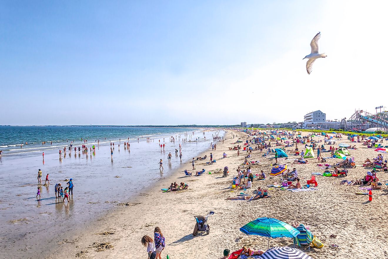
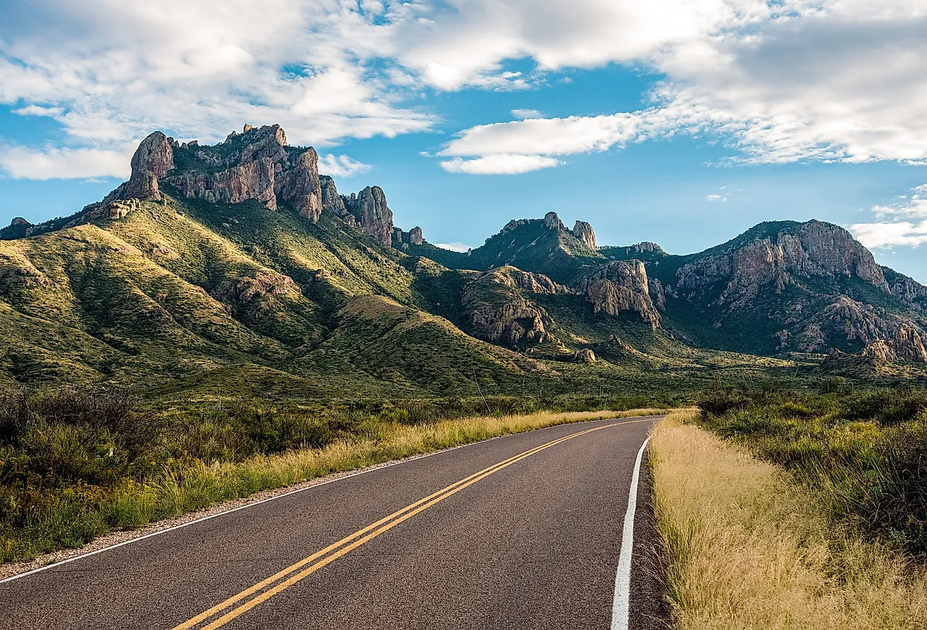
The spectacular natural setting of the Front Range foothills is the city’s main draw for tourists. Just west of Fort Collins, the Horsetooth Mountain Open Space includes miles of crisscrossing trails, the area named after the distinctive Horsetooth Rock formation at the peak and Horsetooth Falls. White water rafting is a popular sport on the Cache La Poudre River.
Soapstone Prairie Natural Area

Fort Collins includes about 875 acres of parks and public areas such as golf courses and basketball courts. North of the city, the Fort Collins council bought the Soapstone Prairie Natural Area, a conservation area that also includes an archaeological site.
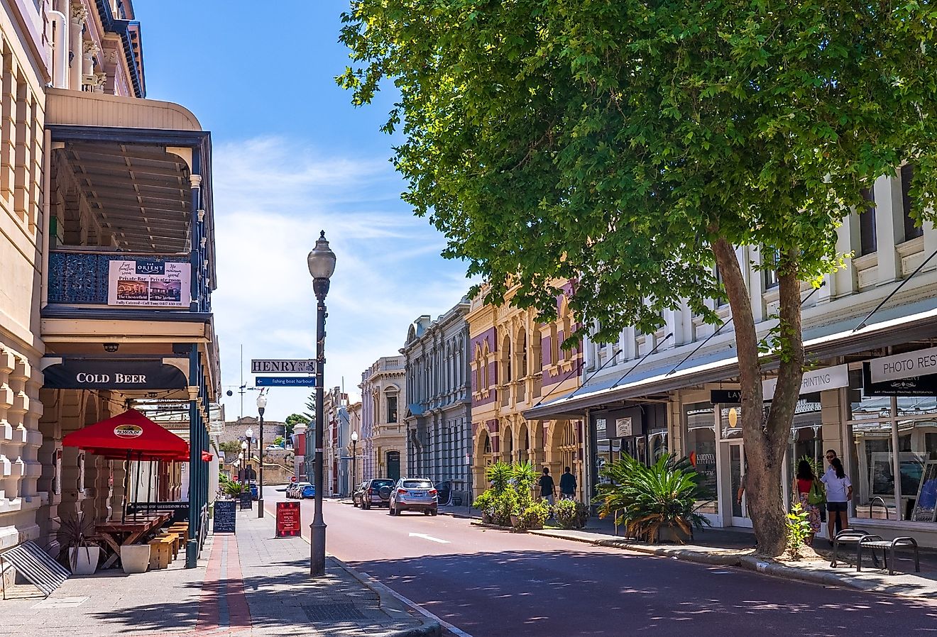
Old Town

From a rest stop on the stagecoach route today, tourists can travel by car along the Overland trail, just west of Fort Collins. The Old Town displays the town’s unique history, with well-preserved 19th houses, shops, restaurants, and a period trolley car.