7 Great Road Trips to Take in Maryland
Despite being one of the smaller states in the country, Maryland has a network of designated scenic byways that runs through some very different landscapes. The Chesapeake Country Scenic Byway covers the Eastern Shore. The Harriet Tubman Byway traces the Underground Railroad through the lowlands. The Old Main Streets Scenic Byway runs through colonial-era towns in the central part of the state. Seven drives, seven different sides of Maryland.
Chesapeake Country Scenic Byway

This National Scenic Byway is a network of roads across Maryland's Eastern Shore, connecting Kent Island, Queen Anne's County, Kent County, and Cecil County. The main route mainly follows MD-213, with a spur down MD-445 to Rock Hall and additional connecting roads through smaller towns. The drive runs down old main streets bypassed by larger highways and links some of the region's best waterfronts, historic towns, and undisturbed natural areas.
Traveling from Annapolis, you'll cross the Chesapeake Bay Bridge to reach the Eastern Shore. Stop in Stevensville on Kent Island to explore Terrapin Nature Park's sandy shoreline, wildflower meadows, and tidal ponds. Once on the Eastern Shore, just north of Queenstown, the Queen Anne's County Museum of Eastern Shore Life houses a collection of antique farming and fishing tools, Native American artifacts, and a reconstructed blacksmith shop, giving visitors a window into the lives of the area's earliest settlers. Just up the road in Centreville, you can see the Queen Anne's County Courthouse, the oldest in continuous use in Maryland, completed in 1792. At Chestertown, you can choose between the spur down to the waterfront town of Rock Hall and the Eastern Neck National Wildlife Refuge, or continuing north through the towns of Kennedyville, Galena, and Georgetown to Chesapeake City. The C & D Canal Museum sits in an original pumphouse that once lifted water from the canal in the early 20th century. The site is part of the National Underground Railroad Network to Freedom.
Harriet Tubman Underground Railroad Scenic Byway

The Harriet Tubman Byway runs along Maryland's Eastern Shore through Dorchester and Caroline Counties, exploring areas where the famous abolitionist lived, worshipped, and led others to freedom in the north. The self-guided driving tour includes more than 30 historical sites and plenty of scenery as it winds through the countryside and along the Chesapeake Bay.
Driving from the south, you'll travel from the small town of Cambridge on the Choptank River all the way to the Delaware border just east of Goldsboro. As you head north toward the Mason-Dixon Line, you'll pass through a rural landscape that has remained relatively unchanged since Tubman traversed it with people escaping enslavement in the 19th century. Before leaving Cambridge, stop by the Dorchester County Courthouse, once the site of slave auctions from which Tubman's niece Kessiah Bowley and her two children were rescued in 1850. The Beacon of Hope, a 13-foot bronze statue of Tubman, was dedicated in 2022.
Next, the route takes you through Harriet Tubman Underground Railroad State Park and the adjacent National Historical Park, managed by the National Park Service in partnership with the State of Maryland. The Visitor Center features a museum dedicated to Tubman's life and legacy, with immersive exhibits, ranger programs, and information about other stops along the way. After passing the Blackwater National Wildlife Refuge, the road heads north past the Bucktown Village Store, the site of an early act of resistance in Tubman's life when she suffered a serious head injury defending another enslaved person, and Brodess Farm, where she was enslaved as a child.
Journey Through Hallowed Ground Byway

Covering more than 180 miles from Gettysburg, Pennsylvania, to Thomas Jefferson's Monticello near Charlottesville, Virginia, the Journey Through Hallowed Ground Byway covers 400 years of American history. The route passes several important Civil War battlefields, 13 National Parks, and nine presidential homes, all spread across the rolling hills of three states. The Maryland section of this National Scenic Byway is 57 miles long, stretching from Point of Rocks just north of the Potomac River to Emmitsburg on the Pennsylvania border.
In Point of Rocks, stop to see the Victorian-style train station from 1875 associated with the Baltimore & Ohio Railroad and listed on the National Register of Historic Places. Outside Frederick, you can explore Monocacy National Battlefield, the site of the 1864 Civil War battle dubbed "The Battle That Saved Washington." The National Park Service site has hiking trails, ranger programs, and seasonal special events. Just north of the battlefield, stop in Frederick to walk through the historic downtown, known for its art scene, craft breweries, and views of nearby Catoctin Mountain. You can also learn about the development and practice of Civil War-era battlefield medicine at the National Museum of Civil War Medicine, which holds several medical artifacts from the period. Further along the road, take a detour through Catoctin Mountain Park to look for woodpeckers and indigo buntings along the 25 miles of hiking trails, or fish for trout in the mountain streams.
Cape to Cape Scenic Byway

The Cape to Cape Scenic Byway runs from Cape Henry, Virginia, to Cape May, New Jersey, through Delaware and Maryland. The middle 79 miles of the 200-mile route are on Maryland's Atlantic coast, a stretch that winds up the Eastern Shore past beaches and historic towns and through several unique natural habitats including maritime forests, brackish estuaries, and sand dunes.
In Snow Hill, you can explore Hickory Point Cypress Swamp, the largest southern-style swamp system in Maryland, which is home to 14 different threatened and endangered species. Further north in Berlin, the historic main street district is lined with antique stores, art galleries, and live music venues. Over 40 places here are listed on the National Register of Historic Places. The Calvin B. Taylor House Museum is a good destination to learn about the area's history through antiques and local memorabilia. The Mermaid Museum offers a more whimsical stop in the heart of downtown. From here, the route heads east toward the ocean, where travelers can visit Assateague State Park on Assateague Island. The 37-mile barrier island is one of the last remaining undeveloped sections of the mid-Atlantic coastline, home to over 200 species of birds and the wild ponies that roam the dunes. The last stop on the Maryland section of the byway is the resort town of Ocean City, known for its three-mile boardwalk, the historic Atlantic Hotel, and seafood.
Mountain Maryland Scenic Byway

This 193-mile network of scenic roads is a way to experience the wilder reaches of western Maryland. The Mountain Maryland Scenic Byway connects the Keyser's Ridge area with Cumberland and a number of side loops across Garrett and Allegany Counties. It is a long way from the coastal areas of the state, with rugged mountains, rushing rivers, and small towns. The drive is best enjoyed over a few days to take in the full range of activities in the region.
Heading south from Keyser's Ridge will take you to Deep Creek Lake, the largest freshwater lake in the state. Deep Creek Lake State Park offers two swimming beaches, several miles of hiking and biking trails, and the Deep Creek Lake Discovery Center, a 6,000-square-foot science museum with hands-on displays, live animal encounters, and an aviary featuring nine rescued birds of prey. Further south in Swallow Falls State Park, visitors can explore the old-growth forests of towering hemlock trees and the 53-foot Muddy Creek Falls. Stop in Oakland to admire the Victorian architecture and the historic B & O Railroad Depot, now a museum housing artifacts from the late 19th century. Before heading toward Cumberland, take a short detour to Potomac-Garrett State Forest for trout fishing in the streams. You can also continue south to hike to Maryland's highest point, Hoye-Crest. On the way to Cumberland, you'll pass through several former coal mining villages and by the Lonaconing Iron Furnace, built in 1837. After that, make your way up to Dan's Rock for views of the Allegheny Front from the highest point in Allegany County.
Booth's Escape State Byway

One of Maryland's four Civil War Trails, this drive is a must for history buffs. Booth's Escape State Byway follows the path taken by John Wilkes Booth as he fled from authorities following the assassination of President Abraham Lincoln in 1865. The 66-mile route takes you from the boundary of Washington, D.C. to Pope's Creek on the Potomac River in southern Maryland, passing several key historic landmarks and bringing the story of the hunt for Lincoln's killer to life.
Stop at the Surratt House Museum to learn about the life of co-conspirator Mary Surratt by touring the former tavern. Continue south to Waldorf and visit the Dr. Samuel A. Mudd House Museum, the former home of the physician who aided Booth on his escape by setting his broken leg. Guided walking tours allow visitors to access the house and retrace the path Booth took into Zekiah Swamp as he continued his escape. You can also visit Dr. Mudd's final resting place at St. Mary's Church and Cemetery in the nearby village of Bryantown. The byway ends at Pope's Creek, the Maryland shoreline where Booth pushed off across the Potomac. After a failed first attempt that left him back in Maryland, he reached Virginia, then crossed the Rappahannock at Port Royal. Garrett Farm, where Booth was cornered and killed by Union soldiers, is south of Port Royal in Caroline County. The original site is gone, but a historical marker stands along Highway 301.
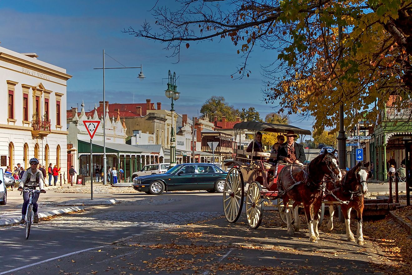
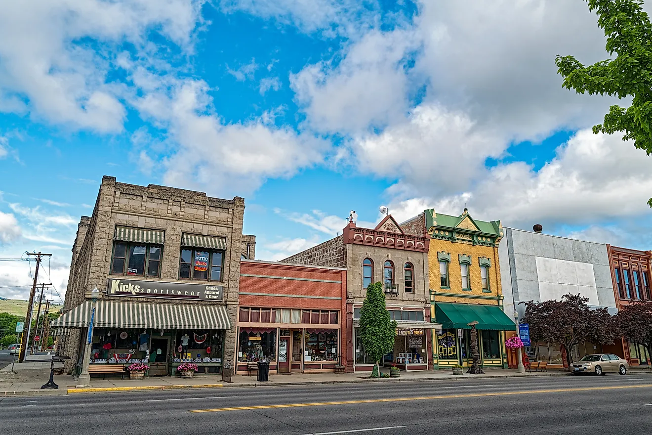
Old Main Streets Scenic Byway

The Old Main Streets Scenic Byway is a 111-mile drive along rural roads and historic main streets in the northern part of central Maryland. Connecting the towns of Emmitsburg, Westminster, and Mount Airy, the route travels through rolling hillsides and farmland, exploring communities shaped by generations of local tradition.
Starting in Emmitsburg, you'll see the Catoctin Mountains as you travel the historic Main Street, which features 19th-century buildings, art galleries, and antique shops. The town is also home to the National Shrine of Saint Elizabeth Ann Seton, the first American-born saint canonized by the Catholic Church. Travel east to Westminster and check out the Carroll Arts Center, a restored Art Deco theater in the heart of downtown that hosts art exhibits, film screenings, live performances, and festivals year-round. From May to November, the Westminster Farmers' Market brings produce from local farms to the downtown area every Saturday. You can pick your own by visiting Baugher's Orchard and Farm just outside town. Learn more about the agricultural history of the area at the Carroll County Farm Museum, which features living history demonstrations and hosts the annual Maryland Wine Festival each September. Outside Mount Airy, the Audrey Carroll Audubon Sanctuary is a good place to spot birds across 129 acres of meadows, woodlands, and wetlands. The road up to Thurmont features three historic covered bridges (Roddy Road, Utica Mills, and Loy's Station) as well as outdoor recreation at Cunningham Falls State Park.
From the Mountains to the Sea
Whether you prefer the rolling hills and rugged peaks of the Allegheny Mountains or the waters and ecological diversity of the Chesapeake Bay, road tripping through Maryland will take you past some of the state's best scenery. From Civil War battlefields and historic train depots to wild ponies on Assateague Island, there are road trips here for history buffs, nature lovers, and everyone in between.