The Clearest Water In Any Ocean
A troubling thought that occurs when swimming in deep ocean water is the idea that some unknown creature could suddenly come up beneath you. I would venture to say that this primal fear is universally true for any human based on 3 key points. These are not being able to see the bottom, not knowing what creatures exist beyond sight, and knowing that humans have gotten swallowed periodically in history. At some point in life, if one swims in an ocean of an unknown depth with dark water through which one cannot see, these troubling thoughts are bound to cross the mind at least once. Blame it on Jaws, which has been driving people into paranoia and out of the oceans since the 1970s, though in every age tales of sea monster horror have surfaced in the popular imagination since the dawn of history. This is one reason why I have always preferred crystal clear water when going to the ocean, and I'd like to be able to see as far as possible what is below me.
Of course, fear is not the only reason. Crystal clear ocean water is one of the most beautiful sights and best signs of a healthy planet. Let's explore the clarity of waters in oceans on record and see if we can discover which is the clearest.
One way scientists are able to determine the clarity of water is through studying light's ability to penetrate it. Experts have refined a standardized optical measurement of the diffuse attenuation coefficient at 490 nanometers, a variable called Kd(490), where the number 490 is a light wavelength in the blue to cyan band of the color spectrum. This wavelength is uniquely visible through blue ocean water, compared to red, orange or violet light. Though it sounds nebulously scientific, by using a Satlantic hyperspectral radiometer to gain vertical light profiles in the water or through similar measurements made by satellites as developed by NASA's Coastal Zone Color Scanner program from the late 1970s, this specific coefficient can be measured accurately. Thus, by determining how effectively sunlight is able to penetrate water depth, the National Oceanic and Atmospheric Administration, also known as NOAA, is able to gauge water clarity in a reliable way. The lower the Kd(490) number, the clearer the water is, in the sense that sunlight is able to pierce farther into its depths. The Kd(490) measurement can then be matched to a depth in feet at which the light attenuates or ceases to pass any further through the water in a detectable way. We will consider methods such as this one, along with an older manner of recording measurements of the visible depth of a suspended Secchi disc, a disc painted white and black, originally developed by Angelo Secchi in 1865. The depth measured in feet in which the Secchi disc is still visible from the water's surface provides a rougher though comparable analogy next to the spectral attenuation calculation of the Kd(490) coefficient, to give us our best approximation at ocean water clarity across differing studies and decades.
Sargasso Sea

The Sargasso Sea forms the northern central part of the Atlantic Ocean between North America and Europe, existing within the North Atlantic Gyre. The sea is not bound by any land mass but is defined by circulating currents with the Gulf Stream to the west, the North Atlantic Current to the north, the Canary Current to the east, and the North Atlantic Equatorial Current to the south. The name comes from the Sargassum seaweed that floats upon portions of its surface, most likely named by Portuguese sailors in the 15th century, and observed by Christopher Columbus when he first sailed across the Atlantic from Spain in 1492. At first glance, the connection to all that seaweed might suggest that this water is not so clear after all. However, in 1994, despite such patches, not far off the coast of Bermuda a low Kd(490) number was captured at 0.025 m-1, a light attenuation depth of 131 ft. Another strong suggestion of water clarity in the Sargasso Sea comes from a Secchi disc measurement of 217 ft in 1972, which means that people on a boat could still make out the disc as it reached that depth in the water.
South Pacific Gyre

Another strong contender for clearest ocean water is the South Pacific Gyre, a massive sector in the Pacific Ocean, bounded by the Equator, South America, Australia and the edge of the Antarctic Circumpolar Current, a region which encompasses 14 million square miles. This area is the largest of the 5 oceanic gyres, which are water circulation systems driven by trade winds. The asserted clear water claim is based on a low recorded Kd(490) at 0.017 m-1, out of 36 total hyperspectral profiles, a light attenuation depth calculated at 193 ft, from a 2016 NOAA study. The Integrated Ocean Drilling Program was able to detect sunlight reflecting from a submerged 16 inch Secchi disc at 153 ft deep in the South Pacific Gyre, providing another considerable record. The water clarity is due to the fact that there is almost no marine life present and only small plant particle matter, with the gyrating effects of the water current preventing most sea life, even phytoplankton, from entering the zone. This lack of chlorophyll makes the gyre an oceanic desert that is arguably bluer than any other sector of Earth's 5 major oceans based on a NASA study from 2017. The gyre contains Point Nemo, named for Captain Nemo from Jules Verne's fictional novel 20,000 Leagues Under the Sea. Also known as the "Oceanic Pole of Inaccessibility," Point Nemo is the farthest point in an ocean from any land mass. The gyre is sometimes used as a "spacecraft graveyard," where NASA will periodically crash obsolete satellites.
Weddell Sea

The Weddell Sea, named for Scottish navigator James Weddell, who sailed into it in 1823, is the southernmost part of the Southern Ocean surrounding Antarctica, comprising 1,080,000 square miles. Known for containing enormous tabular icebergs, significant glaciers, and overhanging ice shelves, including the Filchner-Ronne Ice Shelf, the water is extremely cold yet contains considerable marine and plant life. In 1986, Dutch researchers were able to confirm visibility of a Secchi disc at 262 ft (80 meters) below the water's surface. The Weddell Sea was declared to have the clearest water of any ocean, famously compared to the quality of distilled water. To this day, this is the deepest human visibility measurement using the Secchi disc method. However, currently there are no spectral attenuation samplings using the Kd(490) coefficient optical standard. The Weddell Sea contains the Weddell Gyre, significant to mention as each of the other selected sections also features a gyre, though this one is not recognized as one of the primary 5 oceanic gyres.
Western North Pacific

The Western North Pacific, a region containing the Mariana Islands, near the Asian side of the Pacific Ocean, is the final contender for the ocean's clearest waters. These islands contain Guam, the westernmost U.S. territory. This area is near the lowest point measured on planet Earth, Mariana Trench, where the bottom of its valley, known as Challenger Deep, is 6.7 miles below the ocean surface. The Mariana Zone, to the east of these islands, is a 690,000 square mile section identified as the clearest portion of the North Pacific Gyre. It has a recorded Kd(486) at 0.016 m-1, with a light attenuation calculated to be 205 ft, based on the SeaWiFS satellite observations between 1998-2007. Though a slightly different wavelength was used in these measurements, 486 is only marginally different from 490, and also within the blue to cyan band of the visible light color spectrum, an almost identical registration was obtained, compared to the South Pacific Gyre at Kd(490) at 0.017 m-1, which works out to a light attenuation depth of roughly 193 ft. However, these figures were captured by satellite measurements rather than the Satlantic hyperspectral radiometer used in the South Pacific Gyre study.
The Big Blue
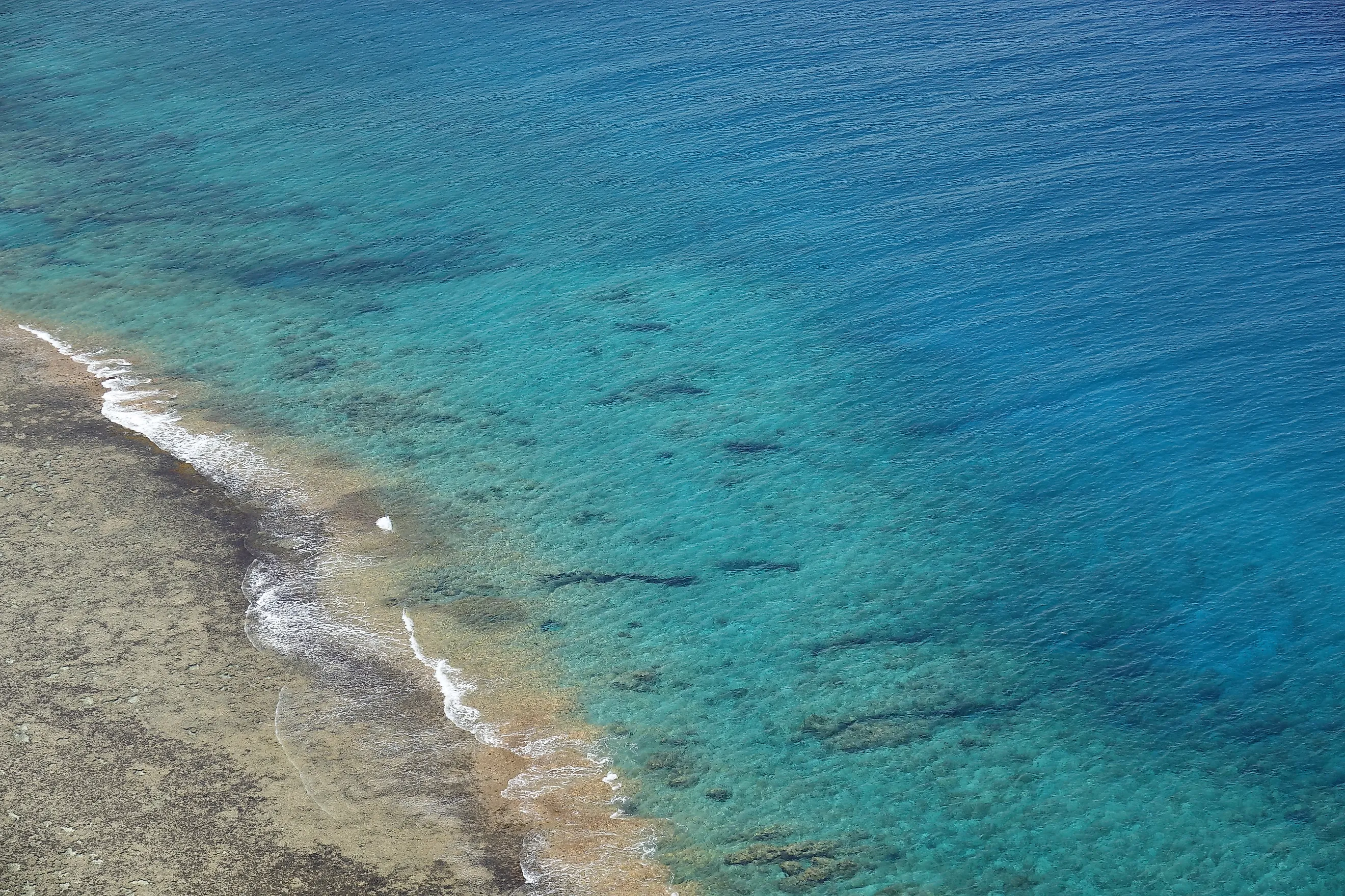
Low concentrations of chlorophyll are associated with clear water. Chlorophyll has the optical effect of turning ocean water slightly green. So, as a rule of thumb, the bluer the water appears, the clearer the water may be, in that this signifies lower amounts of plant matter. From this angle, it is easy to see how areas within oceanic gyres, which have surfaced in this article as the 4 clearest portions of Earth's 5 oceans, tend to be bluer than water in many coastal zones, where there is more chlorophyll and accumulated plant life adding particulate clutter to the mix, often blurring water. The South Pacific Gyre and the Western North Pacific sectors have the strongest claim to the clearest water in any ocean based on the lowest spectral attenuation numbers, almost identical to one another, though separate studies depended on differing instruments and wavelengths. The Weddell Sea and the Sargasso Sea, neither of which are traditional seas, have the top Secchi disc records currently, though this method lacks some standardization since different size discs are often used. It would be difficult to award an undisputed winner, as the studies covered a range over decades of research, where intervening variables could alter water quality. And despite increasingly standardized procedures, slight variations inevitably occur in water that is constantly moving. But if you want to go where you can behold the clearest water in any ocean, aim for these 4 areas where the ocean swirls and the water color shines true blue.