The Best National Parks Near Salt Lake City
Drive three and a half hours southeast of Salt Lake City and you reach a landscape of more than 2,000 natural stone arches, the densest cluster of them anywhere on Earth. Point the car southwest instead and the road climbs into the Snake Range, past a grove of bristlecone pines that were already ancient when Rome was founded. Four national parks sit within a four-hour drive of the city, and no two of them tell the same geologic story. Arches, Canyonlands, and Capitol Reef belong to the red rock country of the Colorado Plateau, shaped by sandstone erosion and a buckling of the crust. Great Basin, across the Nevada line, rises out of the desert into an alpine world of glacial lakes and a marble cave. For a Salt Lake City base, these are the closest four, each reachable for a long day trip or an easy weekend.
Arches National Park, Utah

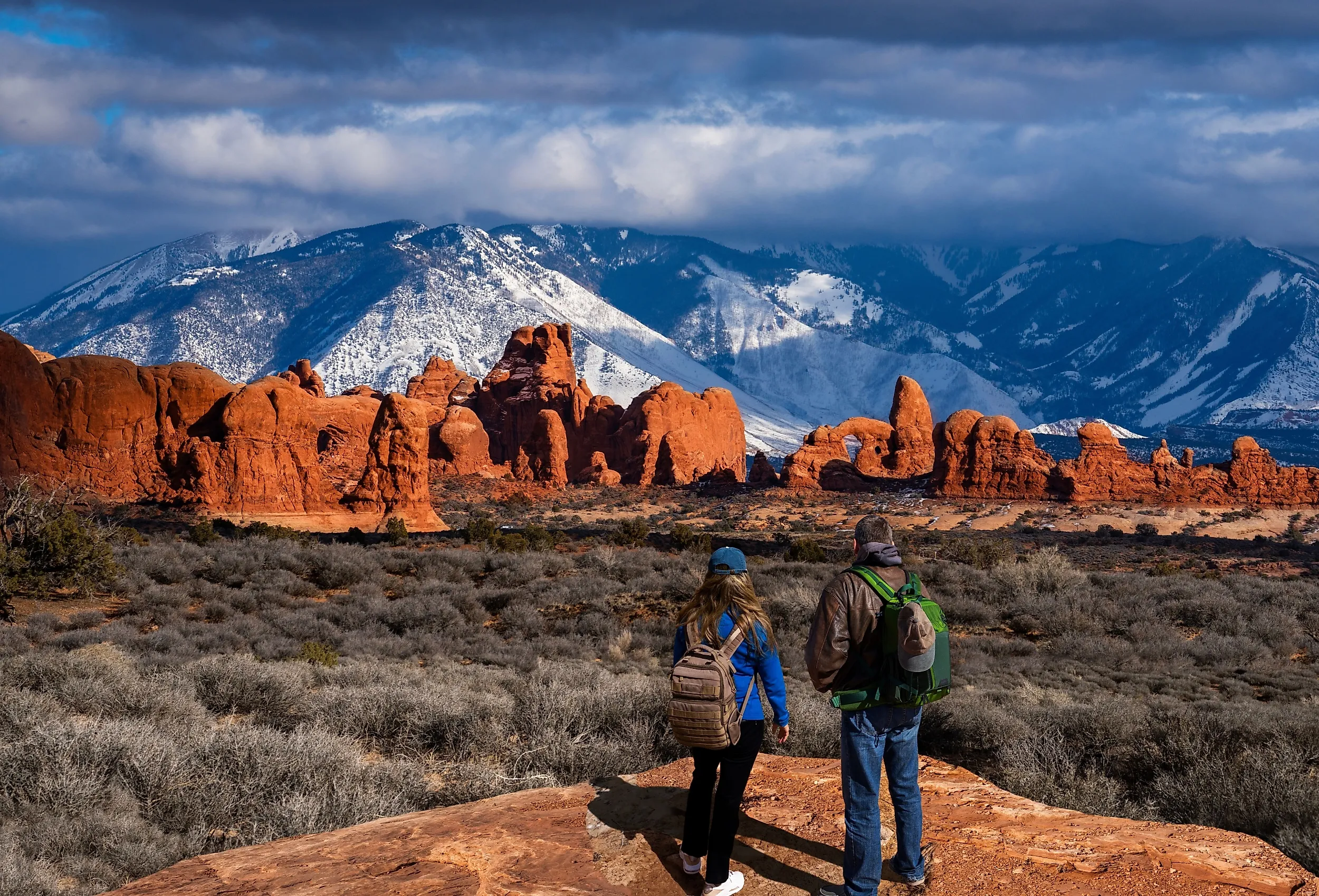
More than 2,000 documented arches stand within Arches National Park, the highest concentration of such formations in the world, each one carved from Entrada Sandstone by cycles of freezing, thawing, and wind. The park sits about 230 miles southeast of Salt Lake City, roughly three hours and 40 minutes by way of US Highway 6. Wide temperature swings crack the rock into tall, thin walls called fins, and over long spans of time those fins hollow out into arches. Beyond the arches, a visitor finds balanced rocks, sandstone spires, and broad mesas across the high desert floor.
A paved scenic drive runs 18 miles from the visitor center into the park's interior, linking most of the major trailheads. The busiest of them belongs to the Delicate Arch Trail, a three-mile round trip that gains 480 feet across open slickrock to reach the base of the 52-foot freestanding arch. Much of the route traces a ledge cut into the sandstone, with the La Sal Mountains rising to the southeast. Late afternoon draws the largest crowds, when low sun deepens the red of the stone and photographers pack the bowl below the arch.

A surprising range of wildlife lives in this arid country. Desert bighorn sheep pick their way across the steep slickrock, and black-tailed jackrabbits and kangaroo rats feed near the cryptobiotic soil crust, a fragile living layer that binds the sand and holds the desert floor together. Golden eagles and peregrine falcons ride the thermal updrafts that build over the hot rock. Parking at the trailheads fills early, so most visitors arrive not long after sunrise to claim a spot.
Canyonlands National Park, Utah

Thirty miles southwest of Arches, the Green and Colorado Rivers meet at the heart of Canyonlands National Park, about 240 miles from Salt Lake City. The two rivers divide the park's 337,598 acres into four districts of carved canyons, mesas, and buttes. Island in the Sky, the district closest to the city, draws most day-trippers thanks to its paved access and its viewpoints perched high above the surrounding country. Here the rivers have cut channels more than 2,000 feet deep, leaving mesas stranded like islands, each with its own pocket of desert life.

The most-photographed spot in the district is Mesa Arch, reached by a 0.6-mile loop that ends at a stone span on the very lip of a 1,000-foot cliff. The trail crosses natural dirt, sand, and uneven slickrock steps rather than pavement, though it stays manageable for most ages. Through the arch a hiker looks out to Washer Woman Arch and the White Rim bench below. For a wider take on the canyon system, the Grand View Point Trail runs 1.8 miles round trip along the rim, dipping slightly to open up views of the White Rim Road some 1,200 feet down.

Isolated terrain leaves its mark on the wildlife here. Pronghorn graze the flat mesa tops, while mountain lions and bobcats range the canyon rims. Along the rivers below, bald eagles and great blue herons fish the slower eddies. Cryptobiotic soil, a crust of cyanobacteria, moss, and lichen, covers much of the ground and holds it against erosion, which is why rangers urge visitors to keep to established trails. With almost no development and little light for a hundred miles, the night sky over the overlooks stays dark enough to show the full band of the Milky Way.
Capitol Reef National Park, Utah

The defining feature of Capitol Reef National Park is the Waterpocket Fold, a nearly 100-mile monocline, or step-like fold in the crust, where sedimentary layers tilt to expose bands of red, white, and gold sandstone. The park lies about 220 miles south of Salt Lake City, a drive of roughly three hours and 25 minutes via Interstate 15 and State Route 24. It is the largest exposed monocline in North America, and unlike the open country of Arches, Capitol Reef runs to deep canyons, hidden domes, and narrow gorges. Along the fold, rock layers of Permian through Cretaceous age lie exposed, a colorful timeline visible across the cliff faces.

One of the park's signature hikes starts at the Grand Wash-Cassidy Arch Trailhead: the Cassidy Arch Trail, a 3.4-mile round trip to a broad arch named for the outlaw Butch Cassidy. The climb is steep, up switchbacks cut into the slickrock, but the payoff is a close look down the western edge of the Waterpocket Fold. Elevations in the park run from 3,880 feet on the valley floor to 8,960 feet on the high country, so spring and fall stay mild while summer turns the gorges oppressive. Narrow canyons carry a real flash-flood risk, and hikers should check the forecast before dropping into any slot.
Peregrine and prairie falcons nest along the cliffs, and cottonwoods and willows grow in the riparian strip beside the Fremont River, shading birds such as the western tanager. The park's mix of elevations and soils makes room for several distinct plant communities, running from salt-tolerant growth on the valley floor to pinyon-juniper woodland on the slopes.
Great Basin National Park, Nevada

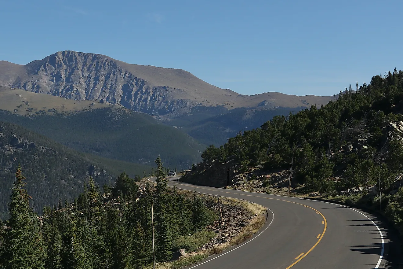
Farthest west of the four, Great Basin National Park protects the South Snake Range, where the desert floor gives way to Wheeler Peak at 13,063 feet in one of the sharpest vertical rises in North America. The park sits 235 miles southwest of Salt Lake City across the Utah-Nevada border, about three hours and 45 minutes by Interstate 15 and U.S. Highway 50. Because the range stands apart from its neighbors, its plants and animals evolved in near isolation, an "island in the sky" ecosystem cut off from other mountains.

The Wheeler Peak Scenic Drive climbs roughly 12 miles from the visitor center to the Bristlecone Trailhead near 10,000 feet, passing through five life zones on the way up, starting in sagebrush flats and ending in dense conifer forest. From the top of that road, the popular Alpine Lakes Loop runs 2.7 miles past Stella and Teresa Lakes, two glacial tarns set in a cirque under the peak. Higher still sits a rock glacier below Wheeler Peak, among the southernmost surviving glaciers in the United States.

Below ground, rangers lead visitors through Lehman Caves, a marble cavern carved into the base of the range. The Grand Palace Tour follows 0.6 miles of paved path past helictites, soda straws, and the Parachute Shield, an unusual sheet of drapery rock matched in only a handful of caves worldwide. Temperatures inside stay near 50 degrees Fahrenheit year-round, so jackets make sense even in July. Far from any city, the park has some of the darkest skies in the contiguous United States and holds an International Dark Sky Park designation to prove it.
Four Parks, Four Different Reasons to Drive South
What ties these four together is proximity to Salt Lake City; what sets them apart is how the ground got made. At Arches and Canyonlands, a visitor sees what water and wind can do to sandstone over millions of years on the Colorado Plateau. At Capitol Reef, the force on display is a different one entirely, the slow tectonic buckling of the Waterpocket Fold. And at Great Basin, the red rock gives way to alpine peaks, glacial lakes, and the oldest trees on the continent.
The practical picture is friendly to a city base. Drive times run between three and four hours, close enough for a day trip and comfortable for a weekend. That said, the remoteness of Great Basin and the sheer size of Canyonlands both repay a longer stay, and a single day never quite does either of them justice.
Season matters more than distance. In summer, midday heat makes hiking in the red rock parks miserable, and in winter, snow leaves the high roads at Great Basin and the upper reaches of Capitol Reef impassable. Spring and fall thread the needle, with milder temperatures and thinner crowds, and they are the windows most likely to leave a visitor alone with the arches, the canyons, and the peaks.