Maps of Montana

Montana, nicknamed, “The Treasure State”, is a landlocked state located in the western United States. It shares a northern border with the Canadian provinces of Saskatchewan, Alberta, and British Columbia, an eastern border with North Dakota and South Dakota, a southern border with Wyoming, and a western border with Idaho. Montana forms part of the US northern Rockies and Plains region.
Montana's capital, Helena, is situated in the western part of the state, while its most populous city, Billings, lies in the south and has around 120,000 residents.
Montana became a state on November 8th, 1889 after having been acquired by the US during the Louisiana Purchase from France. The Louis and Clark expedition visited the territory from 1804 to 1806.
Area
Montana has a total area of 147,040 square miles (380,832 square kilometers), making it the fourth-largest state in the country. It is roughly the size of Germany and four times larger than South Korea. Compared to US states, it is three times larger than Mississippi.
Bodies of Water
Montana has about 169,829 miles (273,313 kilometers) of river. Of this length, only about 1% of it is designated as wild and scenic. Some of Montana’s most notable rivers include the Missouri River, which flows from the northeastern part of the state through the central south, the Flathead River, which is a 219-mile-long river that flows through Montana’s northwest, and the Yellowstone River, which flows from eastern Montana through the south.
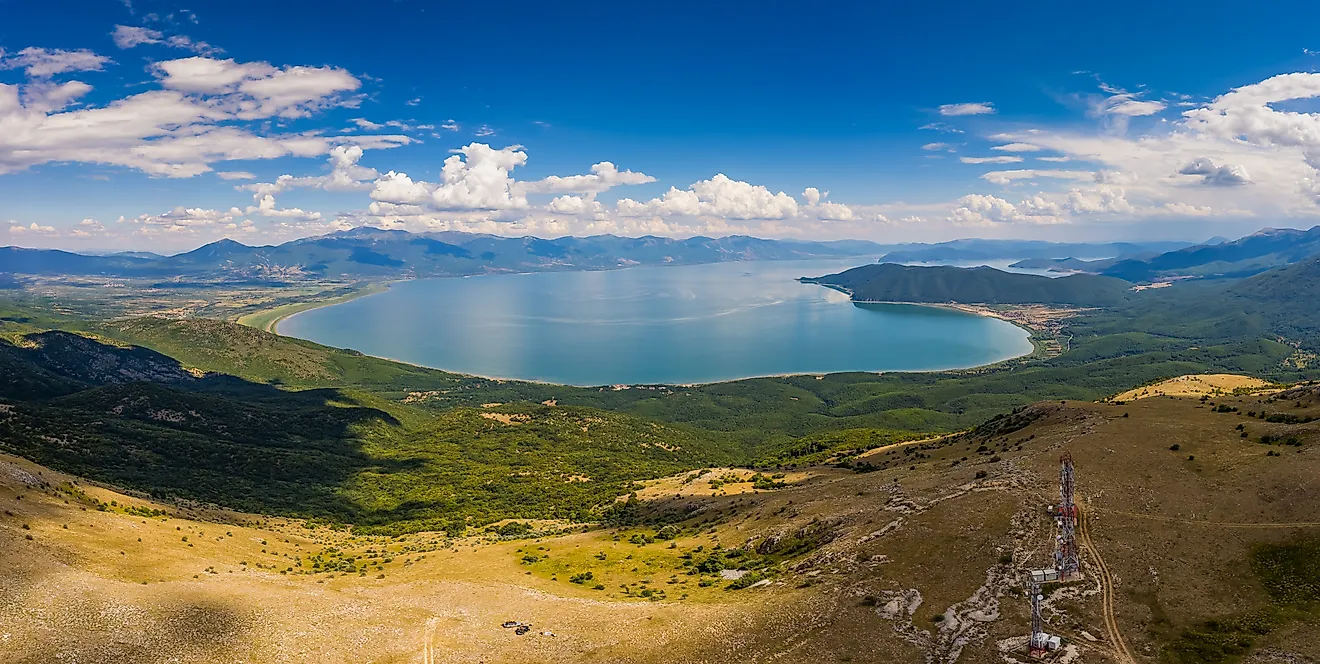
Flathead Lake, located in northwest Montana, is the largest natural freshwater lake west of the Mississippi River, spanning approximately 197 square miles (510 square kilometers). It was dammed in 1930 and now generates electricity.
Mineral Reserves
Montana’s nickname as the “Treasure State” originates from its richness in mineral reserves. Montana mines around 26 different minerals, the majority of which are found in the northern, southern, and western regions. Palladium and platinum are two of Montana’s most prominent minerals, generally found in the southern part of the state. Gold is or has been mined in 30 of Montana’s 56 counties, while silver has been mined in 29.
Geographical Regions
Montana has three physical regions that compose its landscape: The Eastern Plains, The Western Mountains, and a transitionary zone between both of them known as the Central Front.
Eastern Plains
Montana's Eastern Plains cover roughly a third of the state to the east. Wide plains, prairies, and rolling grasslands cover the majority of the region. The climate is semi-arid, with low precipitation. Some parts of this region, however, have desert-like characteristics, featuring scrub instead of grassland. Some forested sections break the grasslands as well, such as the Custer National Forest.
Western Mountains
The western third of Montana consists of the Rocky Mountains, composed of interconnected mountain ranges and valleys. This region is largely forested, with notable species such as the Rocky Mountain Douglas-fir, aspen, and Ponderosa pine. The valleys are semi-arid, while the mountains receive more precipitation, with some areas even having a temperate rainforest climate.
Central Front
The Central Front region spans from northwest Montana through the southeast, cutting through Billings. It eventually extends through Wyoming to the south and Canada to the north. The Central Front is a transitionary zone, connecting the Eastern Plains and Western Mountains, featuring isolated mountain ranges, prairies, and badlands.
Counties Map

The State of Montana is divided into 56 counties. In alphabetical order, these counties are: Beaverhead, Big Horn, Blaine, Broadwater, Carbon, Carter, Cascade, Chouteau, Custer, Daniels, Dawson, Deer Lodge, Fallon, Fergus, Flathead, Gallatin, Garfield, Glacier, Golden Valley, Granite, Hill, Jefferson, Judith Basin, Lake, Lewis and Clark, Liberty, Lincoln, Madison, McCone, Meagher, Mineral, Missoula, Musselshell, Park, Petroleum, Phillips, Pondera, Powder River, Powell, Prairie, Ravalli, Richland, Roosevelt, Rosebud, Sanders, Sheridan, Silver Bow, Stillwater, Sweet Grass, Teton, Toole, Treasure, Valley, Wheatland, Wibaux, and Yellowstone.
With an area of 380,800 sq. km, Montana is the 4th largest and the 8th least populous state in the USA. Located in the west-central part of the state, in the foothills of the Big Belt Mountains is Helena – the capital city of Montana. Due to its rich gold and silver deposits, the capital city has many mineral production and processing centers. Situated in the south-central part of the state is Billings – the largest city of Montana. It serves as the major financial, medical service, retail, and trading center of the state. It has been nicknamed the “Magic City” because of its rapid growth from an initial railroad town to one of the largest trading areas in the United States.
Where is Montana?

The State of Montana is located in the northwestern United States. The landlocked state of Montana is bordered by the states of Idaho in the west, and by Wyoming in the south. It is also bordered by the Canadian provinces of British Columbia, Alberta, and Saskatchewan in the north.
Regional Maps: Map of North America
Outline Map of Montana

The above blank map represents the State of Montana, located in the northwestern United States. The above map can be downloaded, printed and used for geography education purposes like map-pointing and coloring activities.

The above outline map represents the State of Montana, located in the northwestern United States.
Key Facts
| Legal Name | State of Montana |
|---|---|
| ISO 3166 Code | US-MT |
| Capital City | Helena |
This page was last updated on August 15, 2024