
Bollinger County, MO, USA
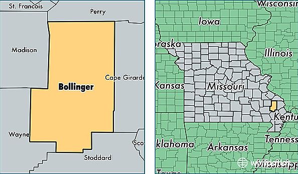
Bollinger County is a county equivalent area found in Missouri, USA. The county government of Bollinger is found in the county seat of Marble Hill.
With a total 1,608.89 sq. km of land and water area, Bollinger County, Missouri is the 1668th largest county equivalent area in the United States. Home to 12,394 people, Bollinger County has a total 5810 households earning 37716 on average per year.
Bollinger County, Missouri - Quick Facts
| FIPS Code | 29017 |
| Area Codes | 573 |
| Time Zone | CST |
| Major Cities | Marble Hill (population: 5,996), Sedgewickville (population: 1,273), Glenallen (population: 1,250), Patton (population: 1,186), Zalma (population: 720), Leopold (population: 614), Sturdivant (population: 274), Gipsy (population: 43) |
| Land Area | 4,785 sq miles |
| Water Area | 618 sq miles |
| Household Income | $37,716 |
| Housing Units | 5,810 |
| Median Home Value | $96,600 |
| High School Grads | 80% of population |
| Holders of Bachelors Degrees | 11% of population |
| Retail Spending | $4,912 per capita |