Where is Cape Girardeau County, Missouri?
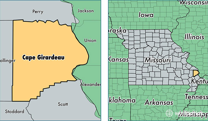
Cape Girardeau County is a county equivalent area found in Missouri, USA. The county government of Cape Girardeau is found in the county seat of Jackson.
With a total 1,518.57 sq. km of land and water area, Cape Girardeau County, Missouri is the 1794th largest county equivalent area in the United States. Home to 78,043 people, Cape Girardeau County has a total 32778 households earning 46516 on average per year.
Cape Girardeau County, Missouri - Quick Facts
| FIPS Code | 29031 |
| Area Codes | 573 |
| Time Zone | CST |
| Major Cities | Cape Girardeau (population: 45,751), Jackson (population: 24,410), Oak Ridge (population: 1,412), Millersville (population: 1,306), Whitewater (population: 1,016), Altenburg (population: 841), Friedheim (population: 476), Burfordville (population: 471), Daisy (population: 124), Delta (population: 112) |
| Land Area | 30,133 sq miles |
| Water Area | 578 sq miles |
| Household Income | $46,516 |
| Housing Units | 32,778 |
| Median Home Value | $137,500 |
| High School Grads | 88% of population |
| Holders of Bachelors Degrees | 27% of population |
| Retail Spending | $18,626 per capita |
| Food & Accomodation Sales | $145,859 per capita |
| Universities and Colleges | Trend Setters School of Cosmetology |
This page was last updated on June 30, 2016.