Perry County, MO, USA
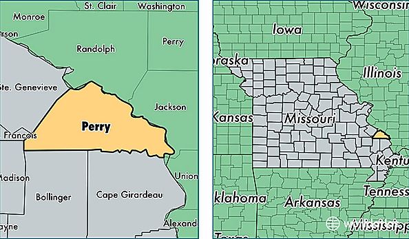
Perry County is a county equivalent area found in Missouri, USA. The county government of Perry is found in the county seat of Perryville.
With a total 1,253.97 sq. km of land and water area, Perry County, Missouri is the 2231st largest county equivalent area in the United States. Home to 19,202 people, Perry County has a total 8557 households earning 47876 on average per year.
Perry County, Missouri - Quick Facts
| FIPS Code | 29157 |
| Area Codes | 573 |
| Time Zone | CST |
| Major Cities | Perryville (population: 16,752), Frohna (population: 1,017), Old Appleton (population: 193), Uniontown (population: 132), Farrar (population: 65) |
| Land Area | 7,414 sq miles |
| Water Area | 475 sq miles |
| Household Income | $47,876 |
| Housing Units | 8,557 |
| Median Home Value | $123,100 |
| High School Grads | 83% of population |
| Holders of Bachelors Degrees | 15% of population |
| Retail Spending | $14,060 per capita |
| Food & Accomodation Sales | $20,242 per capita |