Where is Wayne County, Missouri?
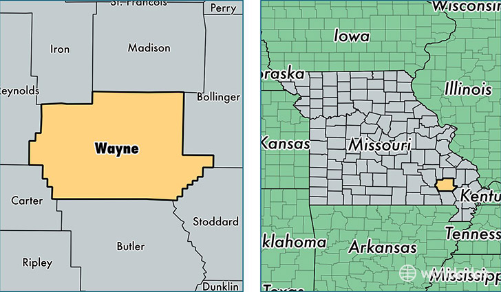
Wayne County is a county equivalent area found in Missouri, USA. The county government of Wayne is found in the county seat of Greenville.
With a total 2,004.82 sq. km of land and water area, Wayne County, Missouri is the 1226th largest county equivalent area in the United States. Home to 13,452 people, Wayne County has a total 7941 households earning 33159 on average per year.
Wayne County, Missouri - Quick Facts
| FIPS Code | 29223 |
| Area Codes | 573 |
| Time Zone | CST |
| Major Cities | Piedmont (population: 5,393), Greenville (population: 1,827), Patterson (population: 1,123), Silva (population: 777), Mill Spring (population: 404), Lowndes (population: 328), McGee (population: 221), Clubb (population: 199) |
| Land Area | 5,194 sq miles |
| Water Area | 759 sq miles |
| Household Income | $33,159 |
| Housing Units | 7,941 |
| Median Home Value | $75,100 |
| High School Grads | 77% of population |
| Holders of Bachelors Degrees | 10% of population |
| Retail Spending | $5,255 per capita |
| Food & Accomodation Sales | $4,414 per capita |
This page was last updated on June 30, 2016.