Where is Stoddard County, Missouri?
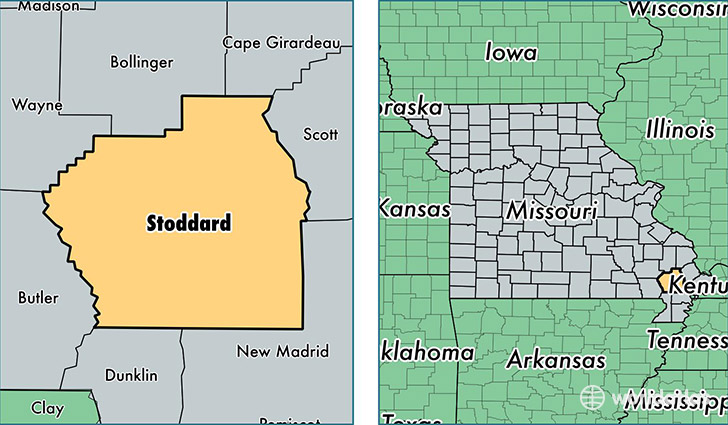
Stoddard County is a county equivalent area found in Missouri, USA. The county government of Stoddard is found in the county seat of Bloomfield.
With a total 2,147.16 sq. km of land and water area, Stoddard County, Missouri is the 1116th largest county equivalent area in the United States. Home to 29,867 people, Stoddard County has a total 13553 households earning 37965 on average per year.
Stoddard County, Missouri - Quick Facts
| FIPS Code | 29207 |
| Area Codes | 573 |
| Time Zone | CST |
| Major Cities | Dexter (population: 13,047), Bloomfield (population: 4,383), Advance (population: 3,419), Puxico (population: 3,307), Bernie (population: 2,850), Essex (population: 1,545), Parma (population: 1,072), Bell City (population: 842), Dudley (population: 749), Brownwood (population: 75) |
| Land Area | 11,532 sq miles |
| Water Area | 823 sq miles |
| Household Income | $37,965 |
| Housing Units | 13,553 |
| Median Home Value | $83,800 |
| High School Grads | 80% of population |
| Holders of Bachelors Degrees | 13% of population |
| Retail Spending | $14,717 per capita |
| Food & Accomodation Sales | $20,526 per capita |
This page was last updated on June 30, 2016.