Where is Worcester County, Massachusetts?
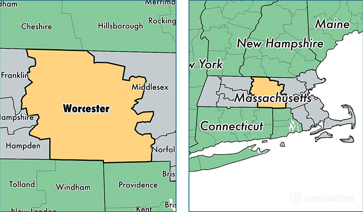
Worcester County is a county equivalent area found in Massachusetts, USA. The county government of Worcester is found in the county seat of Worcester.
With a total 4,090.09 sq. km of land and water area, Worcester County, Massachusetts is the 424th largest county equivalent area in the United States. Home to 813,475 people, Worcester County has a total 327512 households earning 65223 on average per year.
Worcester County, Massachusetts - Quick Facts
| FIPS Code | 25027 |
| Area Codes | 978,413,508 |
| Time Zone | EST |
| Major Cities | Worcester (population: 183,038), Leominster (population: 41,272), Fitchburg (population: 40,721), Shrewsbury (population: 35,635), Milford (population: 28,328), Gardner (population: 20,540), Westborough (population: 18,446), Webster (population: 16,926), Southbridge (population: 16,878), Auburn (population: 16,228) |
| Land Area | 314,084 sq miles |
| Water Area | 1,511 sq miles |
| Household Income | $65,223 |
| Housing Units | 327,512 |
| Median Home Value | $259,200 |
| High School Grads | 89% of population |
| Holders of Bachelors Degrees | 34% of population |
| Retail Spending | $12,634 per capita |
| Food & Accomodation Sales | $1,150,731 per capita |
| Universities and Colleges | Atlantic Union College, Henris School of Hair Design, Nichols College |
This page was last updated on June 30, 2016.