Where is Providence County, Rhode Island?
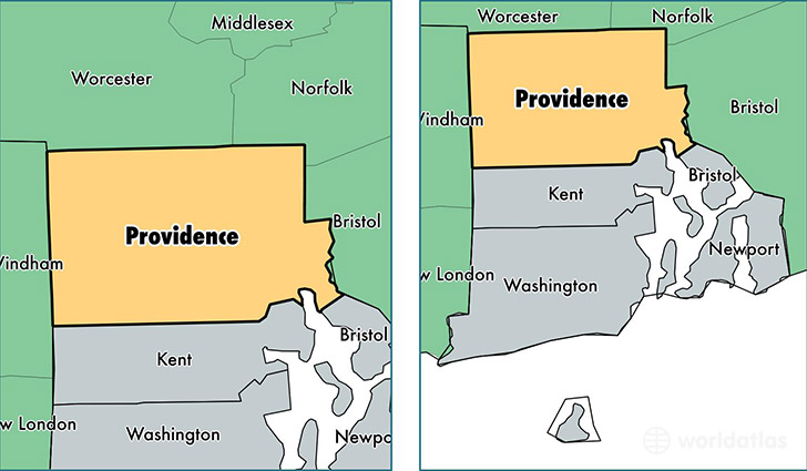
Providence County is a county equivalent area found in Rhode Island, USA.
With a total 1,128.34 sq. km of land and water area, Providence County, Rhode Island is the 2413th largest county equivalent area in the United States. Home to 631,974 people, Providence County has a total 263127 households earning 49297 on average per year.
Providence County, Rhode Island offers the following attraction to visitors: Roger Williams NMEM
Providence County, Rhode Island - Quick Facts
| FIPS Code | 44007 |
| Area Codes | 401 |
| Time Zone | EST |
| Major Cities | Providence (population: 204,106), Pawtucket (population: 71,565), Cranston (population: 71,094), Woonsocket (population: 41,294), Cumberland (population: 33,484), Johnston (population: 28,866), East Providence (population: 22,021), Central Falls (population: 19,436), Lincoln (population: 16,995), Riverside (population: 16,941) |
| Land Area | 244,006 sq miles |
| Water Area | 410 sq miles |
| Household Income | $49,297 |
| Housing Units | 263,127 |
| Median Home Value | $224,100 |
| High School Grads | 81% of population |
| Holders of Bachelors Degrees | 26% of population |
| Retail Spending | $9,430 per capita |
| Food & Accomodation Sales | $1,065,946 per capita |
| Universities and Colleges | Brown University, Johnson & Wales University, Newport School of Hairdressing-Main Campus |
This page was last updated on June 30, 2016.