Hillsborough County, NH, USA
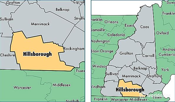
HillsBorough County is a county equivalent area found in New Hampshire, USA. The county government of HillsBorough is found in the county seat of Nashua.
With a total 2,310.83 sq. km of land and water area, HillsBorough County, New Hampshire is the 994th largest county equivalent area in the United States. Home to 405,184 people, HillsBorough County has a total 166799 households earning 69829 on average per year.
Hillsborough County, New Hampshire - Quick Facts
| FIPS Code | 33011 |
| Area Codes | 603 |
| Time Zone | EST |
| Major Cities | Manchester (population: 114,354), Nashua (population: 86,968), Merrimack (population: 25,616), Hudson (population: 24,614), Bedford (population: 21,319), Milford (population: 15,168), Goffstown (population: 13,634), Pelham (population: 12,967), Amherst (population: 11,308), Weare (population: 8,833) |
| Land Area | 156,442 sq miles |
| Water Area | 876 sq miles |
| Household Income | $69,829 |
| Housing Units | 166,799 |
| Median Home Value | $249,900 |
| High School Grads | 91% of population |
| Holders of Bachelors Degrees | 35% of population |
| Retail Spending | $18,989 per capita |
| Food & Accomodation Sales | $732,310 per capita |
| Universities and Colleges | Continental Academie of Hair Design, New Hampshire Institute of Art |